
�������������� ��
��������������
�������������
���������������
��� �������
����� ����
internal
report ���

ii
Wetland inventory – training course, Cali, Colombia, 6–15 March 2002
CM Finlayson
Environmental Research Institute of the Supervising Scientist GPO Box 461, Darwin NT 0801


iii
Contents
Introduction 1
Cali workshop outline 2
Cali inventory background 9
Cali Ramsar framework 26


1
Wetland inventory – training course, Cali, Colombia, 6–15 March 2002
CM Finlayson
Introduction Powerpoint presentations on wetland inventory used during a wetland training course organised by the Colombian Ministry of Environment, in Cali, Colombia. Participants included representatives from governmental agencies, non-governmental organisations and academic institutions.
The course focussed on local community involvement, management planning and inventory approaches. Three presentations covering the latter were made and are reproduced below.

2
Cali workshop outline
A FRAMEWORK FOR WETLAND INVENTORY
Max Finlayson
Director, National Centre for Tropical Wetland Research, Darwin, Australia
&Oceania representative
Ramsar Scientific and Technical Review Panel
Contents
1. Introduction and background to wetland inventory - current international practice -Sunday 10 March
2.Assess two inventory methods - Mediterranean and Asian methods - Monday 11 March
3.Assess the Ramsar Convention’s framework for wetland inventory - Monday 11 March

3
Outcomes1.Provide you with updated information on
approaches to wetland inventory and the Ramsar recommended approach
2.Provide you with information on two methods for wetland inventory - Mediterranean and Asia
3.Assist you to draft a protocol for wetland inventory in Colombia - you decide what you need to do
Process - what we will do• Initially I will talk and you will listen carefully
with the translation from Australian (a dialect of English) to Colombian (and I hope you will stay awake)
• Then I will ask some questions and you will hopefully provide (intelligent) answers (you will need to be awake)
• You will develop a draft inventory protocol for Colombia and discuss how you could undertake further inventory (and I will go home)

4
Some background informationWho am I? Why am I here?
1. Profession - wetland ecologist and currently director of an Australian government research institute in tropical Australia; eco-bureaucrat and research manager (I study wetlands from my desk and laptop)
2. Experience - research projects in Australia, Asia, Africa and Europe (Mediterranean and eastern Europe); tropical wetlands and large rivers and deltas
3. Current role - provide advice and training locally, nationally and internationally; Ramsar, Wetlands International, Intergovernmental Panel on Climate Change, Millennium Ecosystem Assessment
Some more background information
4. Expertise - applied management & wetland survey6 management of wetland weeds6 assessment of nutrient and heavy metal pollution6 floodplain vegetation surveys6 conservation planning6 training wetland managers and researchers6 involving local people in wetland management6 assessment of climate change effects on wetlands6 techniques for wetland inventory, assessment and
monitoring

5
Main reference sources
6Finlayson, Davidson & Stevenson (eds) (2001). Wetland inventory, assessment and monitoring: practical techniques and identification of major issues. Supervising Scientist Report 161, Darwin Australia
(available on the web at www.wetlands.org)
6Finlayson, Davidson, Spiers & Stevenson (1999). Global wetland inventory - status and priorities. Marine and Freshwater Research 50, 717-727.
(copies available from myself)
What is wetland inventory?
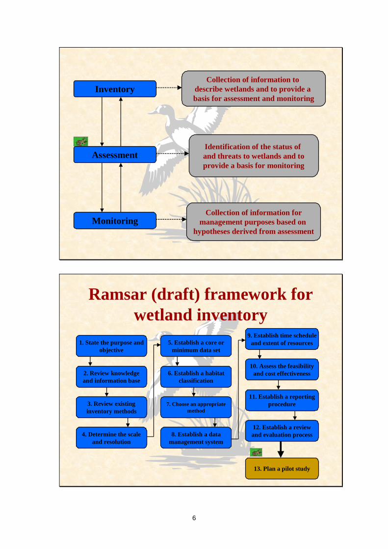
Wetland inventory is the collection and/or collation of core information for wetland management, including the provision of an information base for specific assessment and monitoring activities.
Do not confuse inventory with assessment and monitoring - they are linked but they are different
6
InventoryCollection of information to
describe wetlands and to provide a basis for assessment and monitoring
Monitoring
Assessment
Collection of information formanagement purposes based on
hypotheses derived from assessment
Identification of the status of and threats to wetlands and toprovide a basis for monitoring
Ramsar (draft) framework for wetland inventory
1. State the purpose andobjective
2. Review knowledgeand information base
6. Establish a habitatclassification
7. Choose an appropriatemethod
8. Establish a datamanagement system
11. Establish a reportingprocedure
5. Establish a core orminimum data set
3. Review existinginventory methods
9. Establish time scheduleand extent of resources
10. Assess the feasibilityand cost effectiveness
4. Determine the scaleand resolution
12. Establish a reviewand evaluation process
13. Plan a pilot study

7
Expression of thanksThank you for this opportunity to visit and
discuss wetland inventory with you.
Thank you Maria Rivera for arranging the course and my visit.
I wish you good fortune as you develop yourwetland inventories and manage your
wetlands in a wise manner.
Concluding commentsThere are (possibly) more important things than an inventory for wetland management.
However, having an inventory will make your life as a wetland manager much easier.
And I hope it does not take you 10 years to develop and implement your approach for
a national inventory
8
Thank you

9
Cali inventory background
Wetland inventory Wetland inventory -- introductionintroduction
Max Finlayson
Director, National Centre for Tropical Wetland Research, Darwin, Australia
Oceania representativeRamsar Scientific and Technical Review Panel
Introduction to wetland inventoryIntroduction to wetland inventory
1. Previous wetland inventory effort
2. Global review of wetland inventory
3. Purpose of wetland inventory
4. Integrated framework for wetland inventory
5. Wetland inventory in Colombia

10
Previous wetland inventory effort Previous wetland inventory effort
• Concerted national and international inventory effort
• Common problems with wetland inventory
National and international National and international inventory effortinventory effort
• Impressive basic coverage• Wetland distribution• Wetland species description• Management problems• Monitoring programs• Bibliographic materials

11
Common problems with wetland Common problems with wetland inventoryinventory
• Wetland definition• Wetland classification• Inaccurate data• Incomplete information• Insufficient resources
IRRAWADY DOLPHIN
Global review of wetland InventoryGlobal review of wetland Inventory
•• Wetland information base Wetland information base -- uneven, uneven, outdated or absentoutdated or absent
•• RamsarRamsar Wetland Convention provides a Wetland Convention provides a framework for wetland inventoryframework for wetland inventory

12
Wetland information base Wetland information base -- uneven, uneven, outdated, lackingoutdated, lacking
Wetland area (km2) in Australian tropics
Topographical maps (1:250 000) 89 704Digital Chart of the World 70 078Matthews natural wetlands 35 649IGBP - DISCover land use 4 727National directory of wetlands 30 849
National map of wetlands 18 539
Framework for wetland inventoryFramework for wetland inventoryStep
1. State the purpose and objective2. Review existing knowledge and information
3. Review existing inventory methods4. Determine the scale and resolution
5. Establish a core or minimum data set6. Establish a habitat classification7. Choose an appropriate method
8. Establish a data management system9. Establish a time schedule and extent of resources
10. Assess the feasibility & cost effectiveness11. Establish a reporting procedure
12. Establish a review and evaluation process13. Plan a pilot study

13
Framework for wetland inventoryFramework for wetland inventory
Core biophysical & management data
HierarchicalMulti-scalar
Map-based GIS
Introduction to wetland inventoryIntroduction to wetland inventory
• Previous wetland inventory effort
• Global review of wetland inventory
• Purpose of wetland inventory
• Integrated framework for wetland inventory
• Wetland inventory in Colombia

14
Biophysical data
• Site name (official name of site and catchment)• Area and boundary (size and variation, range and average value• Location (projection system, map coordinates, map centroid, elevation) • Geomorphic setting (where it occurs within the landscape, linkage with
other aquatic habitat, biogeographical region)• General description (shape, cross-section and plan view)• Climate (zone and major features) • Soil (structure and colour)• Water regime (periodicity, extent of flooding, source of surface water
and links with groundwater)• Water chemistry (salinity, pH, colour, transparency, nutrients)• Biota (vegetation zones and structure, animal populations and
distribution, special features including rare/endangered species)
Managerial data
• Landuse – local and in the river basin and/or coastal zone• Pressures on the wetland – within the wetland and in the river basin
and/or coastal zone• Land tenure and administrative authority – for the wetland critical
parts of the river basin and/or coastal zone• Conservation and management status of the wetland – including
legal instruments and social or cultural traditions that impinge on the management of the wetland
• Ecosystem goods and services derived from the wetland – including products, functions and attributes and, where possible, their worth to humans
• Management plans and monitoring programs – in place and planned
within the wetland and in the river basin and/or coastal zone

15
Wetland InventoryWetland Inventory
•• Standardised and updated information setStandardised and updated information setneededneeded
•• RamsarRamsar Wetland Convention provides a Wetland Convention provides a framework for wetland inventoryframework for wetland inventory
Wetland inventory is the collection and/or collationof core information for wetland management,
including the provision of an information base for specific assessment and monitoring activities
Purpose of wetland inventory
Inventory purposeslist wetlands of a particular type or in an area
identify wetlands of national or international importancedescribe the distribution of wetland species - birds, plants
describe natural resources - water, peat, fish, treesassess extent of wetland loss and degradation
describe recreational or aesthetic features - tourism, angling

16
§§§
§§ §
G y p s y C r e e k
Mi d d l e C r e e k
H a y e sC r e e k
Sa n
d y
Creek
D o u g l a s R i v e r
Remote sensingSoils information
Drainage / hydrologyProjections / datum grid
Study area base
Map Map -- based GISbased GIS
16Basic (“Core”) dataset
stored in Database with GIS Interface
Location; physico-chemical and biological features (ecologicalcharacter); land tenure; land use; management issues and threats...
Level 4
Wetland habitat
Location; altitude; area;land systems; climate; hydrology;
vegetation
Level 2
Wetland region1:250 000
Location; physico-chemical and biological features; classification; jurisdiction; ecosystem
services
Level 3Wetland complex
1:50 000
Hierarchical approach to wetland inventory
Geology; climate;
landcover
Level 1River basin or island
1:1 000 000
Scale (nominal)

17
Geographic RegionLevel 1
Scale 1:8000000
Wetland RegionLevel 2
Scale 1:1000000
Wetland ComplexLevel 3
Scale 1:250 - 500 000
Wetland HabitatLevel 4
Scale 1:25 - 50 000
Framework for wetland inventoryFramework for wetland inventory
Core biophysical & management data
HierarchicalMultiscalar
Map-based GIS
18
Introduction to wetland inventoryIntroduction to wetland inventory
• Previous wetland inventory effort
• Global review of wetland inventory
• Purpose of wetland inventory
• Integrated framework for wetland inventory
• Wetland inventory in Colombia
Introduction to wetland inventoryIntroduction to wetland inventory
• Previous wetland inventory effort
• Global review of wetland inventory
• Purpose of wetland inventory
• Integrated framework for wetland inventory
• Wetland inventory in Colombia

19
Introduction to wetland inventoryIntroduction to wetland inventory
• Previous wetland inventory effort
• Global review of wetland inventory
• Purpose of wetland inventory
• Integrated framework for wetland inventory
• Wetland inventory in Colombia
RamsarRamsar Convention Convention -- integrated integrated framework for wetland inventoryframework for wetland inventory
1. State the purpose and objective
2 & 3. Review existing knowledge and methods
4. Determine the scale and resolution
5. Establish a core or minimum data set
6. Establish a habitat classification
20
RamsarRamsar Convention Convention -- integrated integrated framework for wetland inventoryframework for wetland inventory
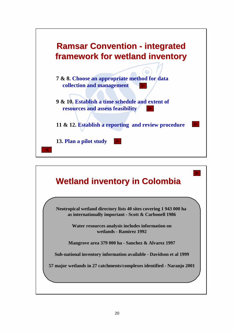
7 & 8. Choose an appropriate method for data collection and management
9 & 10. Establish a time schedule and extent of resources and assess feasibility
11 & 12. Establish a reporting and review procedure
13. Plan a pilot study
Wetland inventory in ColombiaWetland inventory in Colombia
Neotropical wetland directory lists 40 sites covering 1 943 000 ha as internationally important - Scott & Carbonell 1986
Water resources analysis includes information onwetlands - Ramirez 1992
Mangrove area 379 000 ha - Sanchez & Alvarez 1997
Sub-national inventory information available - Davidson et al 1999
57 major wetlands in 27 catchments/complexes identified - Naranjo 2001

21
1. State the purpose and objective
• Provide the reason(s) for undertaking the inventory
• Identify who will use the information and when is it needed
• Establishes the basis for choosing a spatial scale • Provides guidance for the minimum data or
information that is required
2 & 3. Review existing knowledge and inventory methods
• Review the published and unpublished literature on wetland inventory
• Determine the extent of knowledge and informationavailable for wetlands in the region
• Collate this information in a library catalogue or include in a report
• Review available methods• Seek expert technical advice to ensure that the methods
can supply the required information• Assess suitability of the data management processes for
the information that is collected.
22
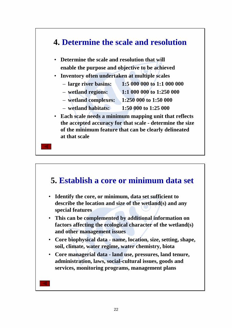
4. Determine the scale and resolution
• Determine the scale and resolution that willenable the purpose and objective to be achieved
• Inventory often undertaken at multiple scales– large river basins: 1:5 000 000 to 1:1 000 000– wetland regions: 1:1 000 000 to 1:250 000– wetland complexes: 1:250 000 to 1:50 000– wetland habitats: 1:50 000 to 1:25 000
• Each scale needs a minimum mapping unit that reflects the accepted accuracy for that scale - determine the size of the minimum feature that can be clearly delineated at that scale
5. Establish a core or minimum data set
• Identify the core, or minimum, data set sufficient to describe the location and size of the wetland(s) and any special features
• This can be complemented by additional information on factors affecting the ecological character of the wetland(s) and other management issues
• Core biophysical data - name, location, size, setting, shape, soil, climate, water regime, water chemistry, biota
• Core managerial data - land use, pressures, land tenure, administration, laws, social-cultural issues, goods and services, monitoring programs, management plans

23
6. Establish a habitat classification
• Choose a habitat classification that suits thepurpose of the inventory
• It is unlikely that a single classification wouldbe globally accepted
• Ramsar habitat types are not generally suitable for anything but simple classification
• Recommended that classification is based on fundamental features of wetlands - landform and water regime
7 & 8. Choose an appropriate method for data collection and management
• Choose a method that is appropriate for a specific inventory based on an assessment of the technical advantages and disadvantages
• Establish the costs and benefits of alternatives methods• Establish protocols for collecting, recording and storing
data, including archiving, to enable the source of the data and its accuracy to be determined
• Identify suitable rigorous and tested methods for data analysis and document these
• Use a meta-database to record information about the inventory and details of data ownership and access

24
9 & 10. Establish a time schedule, determine the extent of resources and assess feasibility
• Establish a time schedule for planning the inventory, for collecting, processing and interpreting the data, for reporting and for reviewing the program
• Establish the extent and reliability of the resources available and if make contingency plans to ensure that data is not lost due to shortfalls
• Assess whether or not the program, including reporting, can be done within the context of the management processes and financial resources available
• Determine if the entire costs are within budget and that the budget is available for the program to be completed
11 & 12. Establish a reporting and review procedure
• Establish a procedure for interpreting and reporting allresults in a timely and cost effective manner
• The report should be succinct/concise and indicate whether or not the objective has been achieved
• The report should contain recommendations for management action, including whether further information or data is required
• Establish a formal and open review process to ensure the effectiveness of all procedures, including reporting, and supply information to adjust or even terminate the program
25
13. Plan a pilot study
• Test and fine-tune the method and specialist equipment being used
• Assess the training needs for staff involved• Confirm the means of collating, collecting, entering,
analysing and interpreting the data • Check that any remote sensing data collection can be
supported by ground-truthing• Check the reporting procedures• Provide confidence in the program - to those involved
and those providing the funds
Thank youThank you

26
Cali Ramsar framework
A FRAMEWORK FOR WETLAND INVENTORY
Max Finlayson
Director, National Centre for Tropical Wetland Research, Darwin, Australia
&Oceania representative
Ramsar Scientific and Technical Review Panel
A FRAMEWORK FOR WETLAND INVENTORY
1. Recommendations for wetland inventory 1989-982. Global review of wetland inventory3. Ramsar resolution on wetland inventory4. Definition of wetland inventory5. MedWet model for wetland inventory6. Asian model for wetland inventory7. Ramsar (draft) framework for wetland inventory8. Outline for a Colombian wetland inventory
27
1. Recommendations for wetland inventory 1989-98
International conferences
1989 - Astrakhan, Russia1991 - Grado, Italy (MedWet)1992 - Columbus, Ohio, USA
1992 - St Petersburg, Florida, USA1995 - Kuala Lumpur, Malaysia
1998 - Dakar, Senegal
1. Recommendations for wetland inventory 1989-98
Common recommendations 1989-95
• Standardisation of techniques, guidelines and manuals
• Collection of long term data on wetlands
• Provision of training
• Reviewing gaps and coordination of data collection
• Developing and making greater use of network
• Developing means to audit existing effort.

28
1. Recommendations for wetland inventory 1989-98
ALL TALK AND LITTLE ACTION
1. Recommendations for wetland inventory 1989-98
Recommendations, Dakar, Senegal, 1998• Complete national wetland inventory using comparable
approaches that focus on a basic data to describe major biophysical features.
• Once the basic data has been acquired more data on management issues, threats, land use and tenure, goods and services, and monitoring can be added.
• Include a clear statement of purpose, habitats covered and the date the information was obtained.
• Publish inventories electronically (GIS) for better access and updating.
29
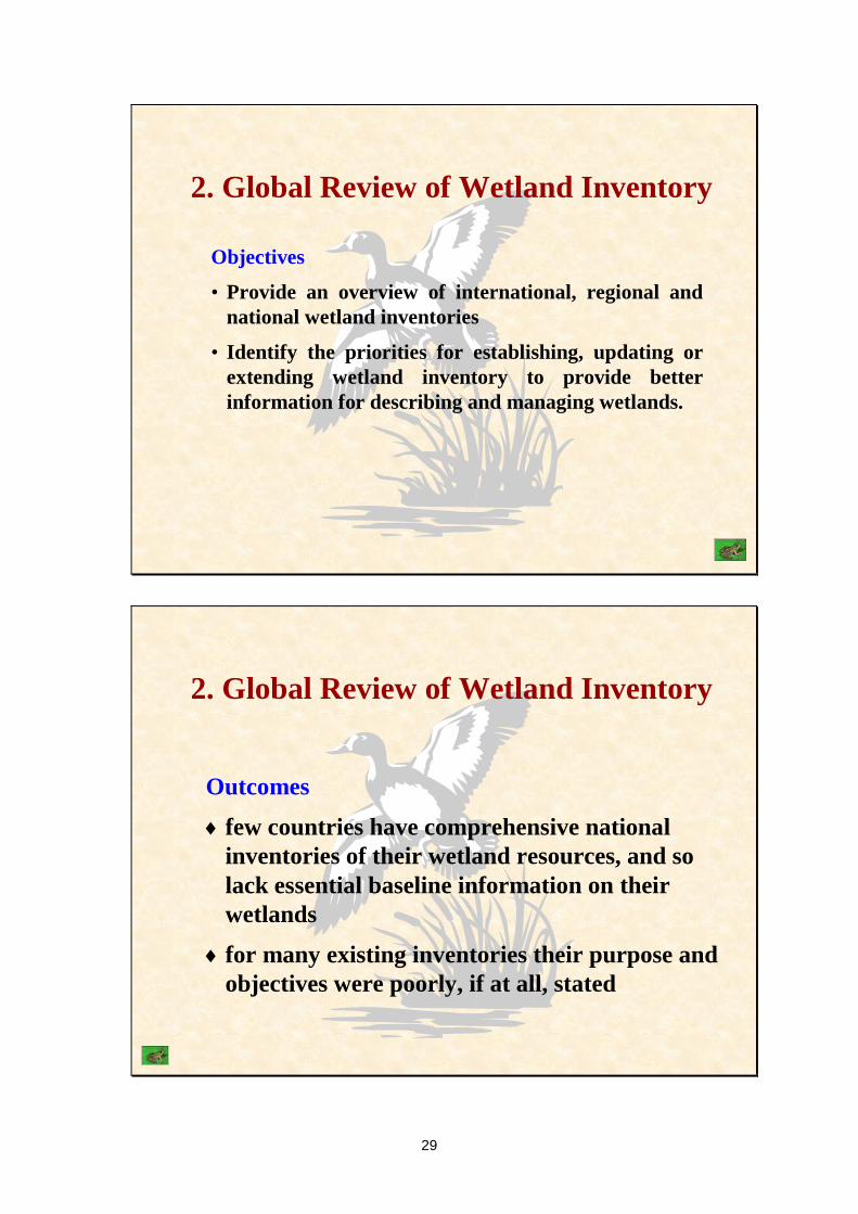
2. Global Review of Wetland Inventory
Objectives
• Provide an overview of international, regional and national wetland inventories
• Identify the priorities for establishing, updating or extending wetland inventory to provide better information for describing and managing wetlands.
2. Global Review of Wetland Inventory
Outcomes
6 few countries have comprehensive national inventories of their wetland resources, and so lack essential baseline information on their wetlands
6 for many existing inventories their purpose and objectives were poorly, if at all, stated

30
3. Ramsar resolution on priorities for wetland inventory
Recommendations
6 complete national wetland inventories
6 review and develop models for wetland inventory and data management
6 use remote sensing and low-cost and user-friendly geographic information systems
4. Definition of wetland inventory
Wetland inventory is the collection and/or collation of core information for wetland management, including the provision of an information base for specific assessment and monitoring activities.

31
InventoryCollection of information to
describe wetlands and to provide a basis for assessment and monitoring
Monitoring
Assessment
Collection of information formanagement purposes based on
hypotheses derived from assessment
Identification of the status of and threats to wetlands and toprovide a basis for monitoring
5. MedWet method for wetland inventory
6 The Mediterranean was rich in wetlands of great ecological, socio-economic value, but many had been degraded or destroyed - Grado (Italy) Conference in 1991.
6 MedWet launched in 1992 by the European Commission, the Ramsar Convention, the governments of the five countries and several NGOs.
6 The aims of the inventory programme were: (1) to assess existing wetland inventories and review the methods, and (2) to prepare astandard method.

32
5. MedWet method for wetland inventory
6 Developed an approach that was
6 standardised for consistent use in the region
6 comprehensive to include all relevant information
6 flexible for use by entities with diverse resources
6 compatible for comparisons and exchange of information with ongoing programs
5. MedWet method for wetland inventory
Based on three levels of information•catchment area - information for all wetlands•wetland site - information collected at all sites•habitat - baseline for management and monioring

33
5. MedWet method for wetland inventory
Contains three phases
1. Review of existing information - compilation of existing data on known sites, using all available sources of information. Does not require fieldwork. Produces a list of wetlands with some information on the location of sites and their biological, social, economic and legal status.
5. MedWet method for wetland inventory
Contains three phases
2. Simple inventory - compilation of information about all the sites. May require some fieldwork and moderate resources. It is a minimum effort for recognising the wetlands and their main features within the area considered.

34
5. MedWet method for wetland inventory
Contains three phases
3. Detailed inventory - detailed information about each site and production of GIS-based maps. Importance of the sites for nature conservation and for local communities is fully evaluated. Intensive fieldwork and wetland knowledge will be necessary, and more substantial resources are needed. Provides more baseline information for planning and monitoring.
5. MedWet method for wetland inventory
Contains five main components•site selection
•wetland identification
•classification system
•data collection and storage
•mapping procedure

35
6. Asian method for wetland inventory
1. Analyse long-term trends in wetlands and their resources as a part of national natural resource management
2. Enable regular revisions and updates of information on wetlands of national and international importance
3. Disseminate the the information widely
4. Provide core information on wetlands to support the implementation of international conventions
6. Asian method for wetland inventory
Key features
6based on maps and collection and analysis of standardised categories of data within a hierarchical framework
6the framework relates data/information that is collected at different scales for the various aims and a link between the mapping scales and the level of detail required
6the inventory will not be undertaken as a single project
6standardised data sheets are used to maintain compatibility for collation of information from different projects

36
6. Asian method for wetland inventory
Wetland definition
Areas of marsh, fen, peat land or water, either natural or artificial, permanent or temporary, with water that is static or flowing, fresh, brackish or salt, including all inter-tidal areas above the low water mark
6. Asian method for wetland inventory
Hierarchical scale for mapping
1. River basins - 1:5 000 000 to 1:1 000 000 scale maps
2. Wetland regions - 1:1 000 000 to 1:250 000 scale maps
3. Wetland complexes - 1:250 000 to 1:50 000 scale maps
4. Wetland habitats - 1:50 000 to 1:10 000 scale maps

37
Geographic Regions
Level 11:8 million
China
Myanmar
Thailand
Vietnam
Lao PDR
Cambodia
Bhutan
Bangladesh
Bay of BengalSouth China Sea
India
Level 21:1 million
Wetland Region
Wetland Complex
Level 31:250 - 500 000
Wetland Habitat
Level 41:25 - 50 000
The four tiered landscape (or "top-down") approach of the AWI. The level of detail varies with spatial Fig 1:
6. Asian method for wetland inventory
1. River basins - desk study to describe the geology, geomorphology, hydrology, climate of each geographic region using existing maps and remotely sensed images
2. Wetland regions - desk study to identify the wetland regions within each geographic region using information already collated on landforms and water regimes and existing maps and remotely sensed imagery
3. Wetland complexes - fieldwork and analysis within each wetland region to identify the wetland complexes and their ecological characteristics and connections
4. Wetland habitats - detailed field work and analysis to delineate and describe wetlands within each wetland complex. This will also include further information on wetland management
38
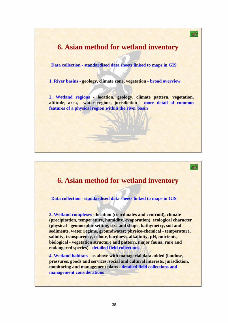
6. Asian method for wetland inventory
Data collection - standardised data sheets linked to maps in GIS
1. River basins - geology, climate zone, vegetation - broad overview
2. Wetland regions - location, geology, climate pattern, vegetation, altitude, area, water regime, jurisdiction - more detail of common features of a physical region within the river basin
6. Asian method for wetland inventory
Data collection - standardised data sheets linked to maps in GIS
3. Wetland complexes - location (coordinates and centroid), climate (precipitation, temperature, humidity, evaporation), ecological character (physical - geomorphic setting, size and shape, bathymetry, soil and sediments, water regime, groundwater; physico-chemical - temperature, salinity, transparency, colour, hardness, alkalinity, pH, nutrients; biological - vegetation structure and pattern, major fauna, rare and endangered species) - detailed field collections
4. Wetland habitats - as above with managerial data added (landuse, pressures, goods and services, social and cultural interests, jurisdiction, monitoring and management plans - detailed field collections and management considerations

39
7. Ramsar (draft) framework for wetland inventory
6 provides guidance on a standard approach to designing a wetland inventory program
6 includes information on 6 remote sensing techniques
6 wetland classifications
6 existing standardised inventory methods
6 core data fields
6 metadata recording
7. Ramsar (draft) framework for wetland inventory
1. State the purpose andobjective
2. Review knowledgeand information base
6. Establish a habitatclassification
7. Choose an appropriatemethod
8. Establish a datamanagement system
11. Establish a reportingprocedure
5. Establish a core orminimum data set
3. Review existinginventory methods
9. Establish time scheduleand extent of resources
10. Assess the feasibilityand cost effectiveness
4. Determine the scaleand resolution
12. Establish a reviewand evaluation process
13. Plan a pilot study
40
Ramsar (draft) framework for wetland inventory
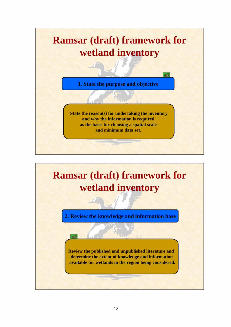
1. State the purpose and objective
State the reason(s) for undertaking the inventoryand why the information is required,
as the basis for choosing a spatial scale and minimum data set.
Ramsar (draft) framework for wetland inventory
2. Review the knowledge and information base
Review the published and unpublished literature and determine the extent of knowledge and information
available for wetlands in the region being considered.

41
Ramsar (draft) framework for wetland inventory
3. Review existing inventory methods
Review available methods and seek expert technicaladvice to ensure that methods are used that can
supply the required information and thatsuitable data management processes are established.
Ramsar (draft) framework for wetland inventory
4. Determine the scale and resolution
Determine the scale and resolution that willenable the purpose and objective to be achieved.

42
Ramsar (draft) framework for wetland inventory
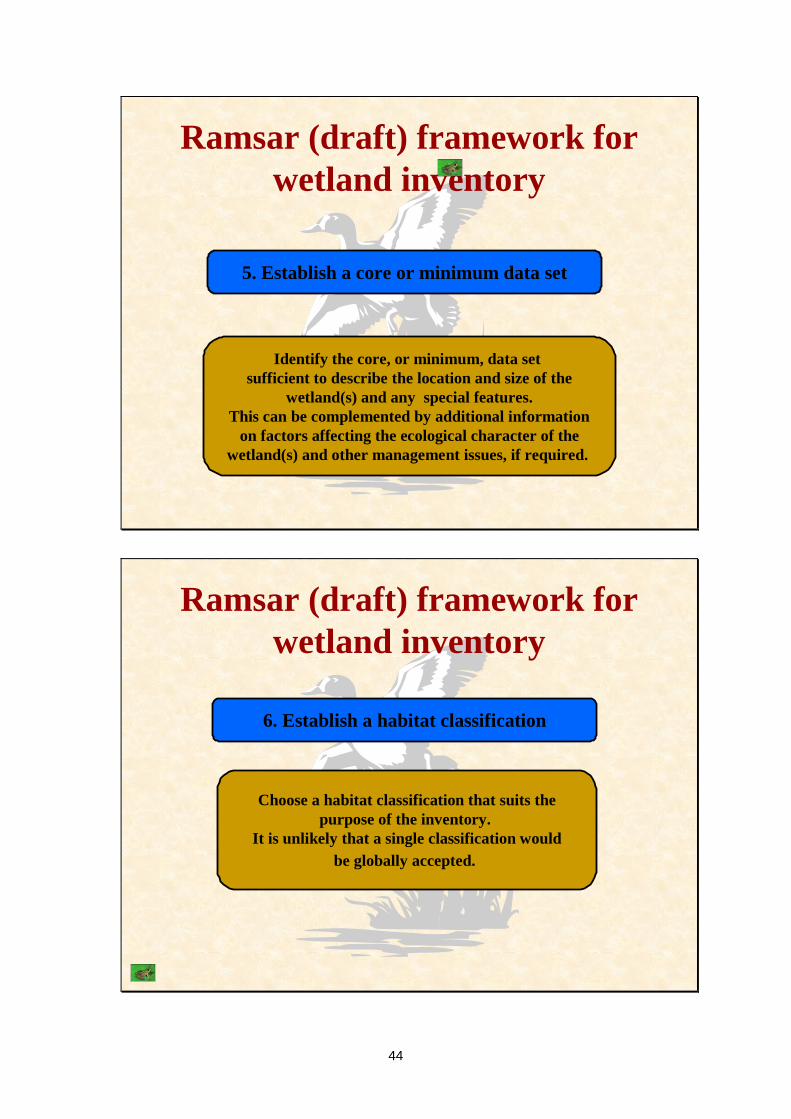
5. Establish a core or minimum data set
Identify the core, or minimum, data set sufficient to describe the location and size of the
wetland(s) and any special features. This can be complemented by additional information
on factors affecting the ecological character of thewetland(s) and other management issues, if required.
Ramsar (draft) framework for wetland inventory
5a. Establish a core or minimum data set
The core data can be divided into two components -biophysical and major management features of the wetland.
The decision on whether to undertake an inventorybased only on core biophysical data or to also
include data on management features will be basedon individual priorities, needs and resources.
43
Ramsar (draft) framework for wetland inventory
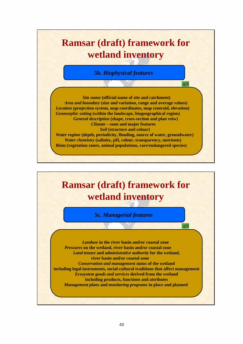
5b. Biophysical features
Site name (official name of site and catchment)Area and boundary (size and variation, range and average values)
Location (projection system, map coordinates, map centroid, elevation)Geomorphic setting (within the landscape, biogeographical region)
General description (shape, cross-section and plan veiw)Climate – zone and major features
Soil (structure and colour)Water regime (depth, periodicity, flooding, source of water, groundwater)
Water chemistry (salinity, pH, colour, transparency, nutrients)Biota (vegetation zones, animal populations, rare/endangered species)
Ramsar (draft) framework for wetland inventory
5c. Managerial features
Landuse in the river basin and/or coastal zonePressures on the wetland, river basin and/or coastal zone
Land tenure and administrative authority for the wetland,river basin and/or coastal zone
Conservation and management status of the wetlandincluding legal instruments, social-cultural traditions that affect management
Ecosystem goods and services derived from the wetlandincluding products, functions and attributes
Management plans and monitoring programs in place and planned
44
Ramsar (draft) framework for wetland inventory
5. Establish a core or minimum data set
Identify the core, or minimum, data set sufficient to describe the location and size of the
wetland(s) and any special features. This can be complemented by additional information
on factors affecting the ecological character of thewetland(s) and other management issues, if required.
Ramsar (draft) framework for wetland inventory
6. Establish a habitat classification
Choose a habitat classification that suits thepurpose of the inventory.
It is unlikely that a single classification wouldbe globally accepted.

45
Ramsar (draft) framework for wetland inventory
7. Choose an appropriate method
Choose a method that is appropriate fora specific inventory based on an assessmentof the advantages and disadvantages, and
costs and benefits of the alternatives.
Ramsar (draft) framework for wetland inventory
7a. Comparison of methods
Inventory methods in use
Mediterranean (MedWet) inventoryUS national wetland inventory
Ugandan national wetland programAsian wetland inventory

46
Process for choosing an appropriate remote sensing sensor
Define the purpose and objective
5. Establish ground data requirements
2. Determine if remotely sensed data is applicable
3. Define the wetland in a remote sensing context
4. Choose an appropriate sensor6. Trade-offs
Ramsar (draft) framework for wetland inventory
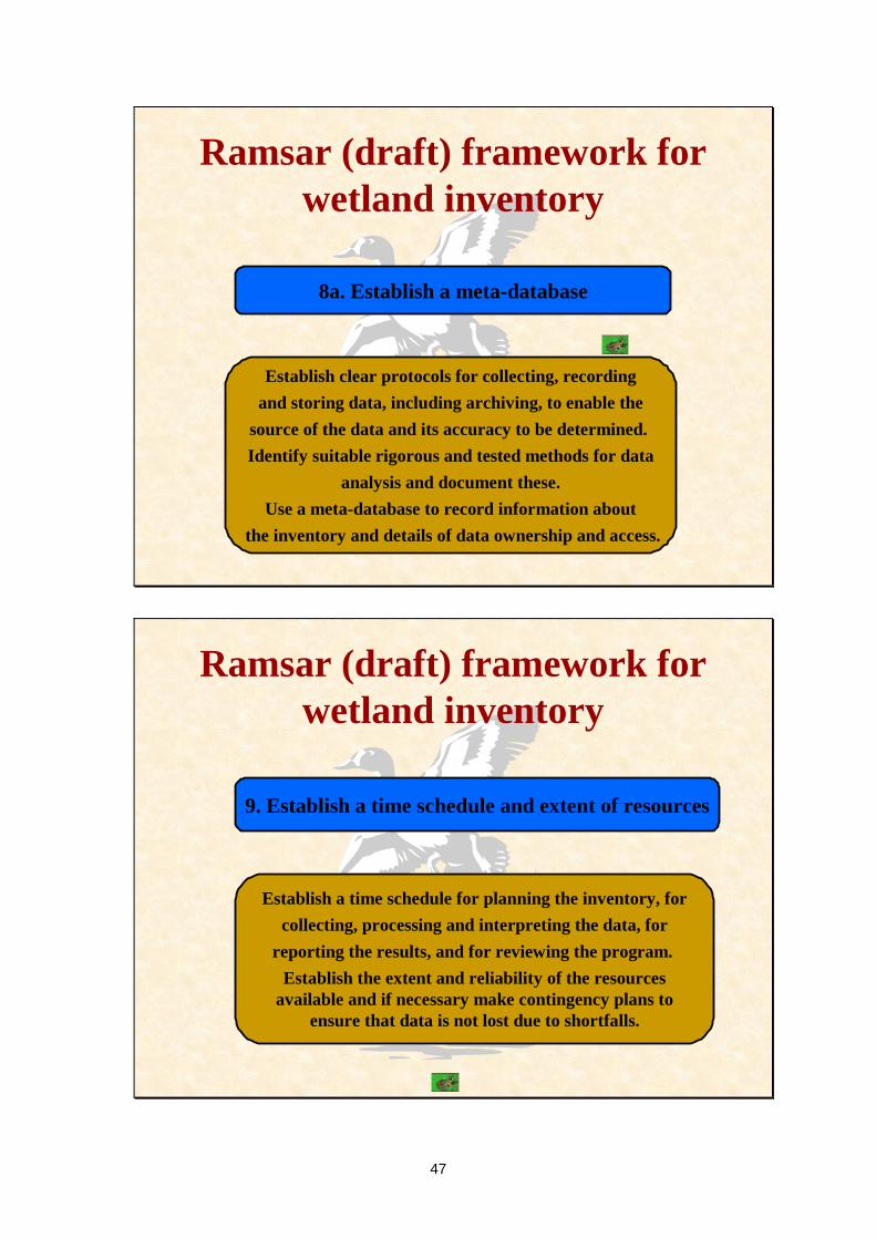
8. Establish a data management system
Establish clear protocols for collecting, recordingand storing data, including archiving, to enable the
source of the data and its accuracy to be determined. Identify suitable rigorous and tested methods for data
analysis and document these.Use a meta-database to record information about
the inventory and details of data ownership and access.
47
Ramsar (draft) framework for wetland inventory
8a. Establish a meta-database
Establish clear protocols for collecting, recordingand storing data, including archiving, to enable the
source of the data and its accuracy to be determined. Identify suitable rigorous and tested methods for data
analysis and document these.Use a meta-database to record information about
the inventory and details of data ownership and access.
Ramsar (draft) framework for wetland inventory
9. Establish a time schedule and extent of resources
Establish a time schedule for planning the inventory, forcollecting, processing and interpreting the data, for
reporting the results, and for reviewing the program. Establish the extent and reliability of the resources
available and if necessary make contingency plans toensure that data is not lost due to shortfalls.

48
Ramsar (draft) framework for wetland inventory
10. Assess the feasibility and cost effectiveness
Assess whether or not the program, includingreporting of the results can be done within the
context of the management processes and financialresources available.
Determine if the costs of data acquisition and analysisare within budget and that the budget is available
for the program to be completed.
Ramsar (draft) framework for wetland inventory
11. Establish a reporting procedure
Establish a procedure for interpreting and reporting allresults in a timely and cost effective manner.
The report should be succinct/concise and indicate whetheror not the objective has been achieved, and contain
recommendations for management action, including whetherfurther information or data is required.

49
Ramsar (draft) framework for wetland inventory
12. Establish a review and evaluation process
Establish a formal and open review process to ensure the effectiveness of all procedures,
including reporting and, where necessary, supplyinformation to adjust or even terminate the program.
Ramsar (draft) framework for wetland inventory
13. Plan a pilot study
Test and fine-tune the method and specialistequipment being used, assess the training needs forstaff involved, and confirm the means of collating,
collecting, entering, analysing and interpreting the data. Ensure that any remote sensing data collection
can be supported by ground-truthing.

50
Ramsar (draft) framework for wetland inventory
13a. Plan a pilot study
Test and fine-tune the method and specialistequipment being used, assess the training needs forstaff involved, and confirm the means of collating,
collecting, entering, analysing and interpreting the data. Ensure that any remote sensing data collection
can be supported by ground-truthing.
Ramsar (draft) framework for wetland inventory
Thank you


