
FROM A
Kevin Bruhn, Milwaukee County
Emily Champagne, MMSD
Jay Feiker, MMSD
Andrew Haug, MMSD
CONCRETE JUNGLE to Milwaukee
’
s Fresh Coast
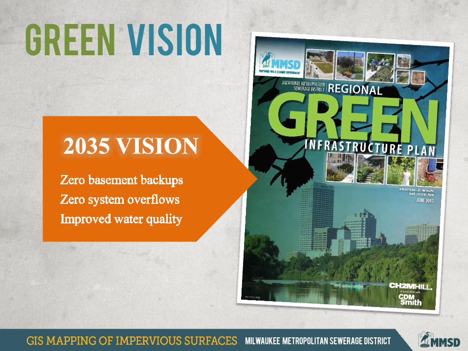
Green Vision
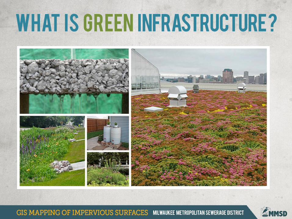
WHAT IS GREEN iNFRASTRUCTURE ?
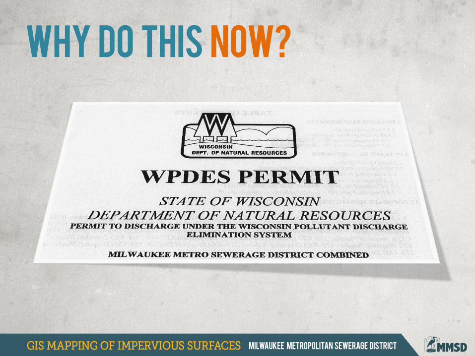
WHY DO THIS NOW?
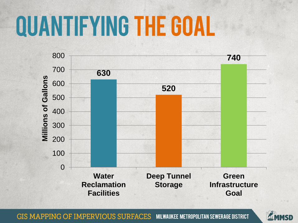
630
520
740
0
100
200
300
400
500
600
700
800
WaterReclamation
Facilities
Deep TunnelStorage
GreenInfrastructure
Goal
Mil
lio
ns o
f G
allo
ns
Quantifying the goal
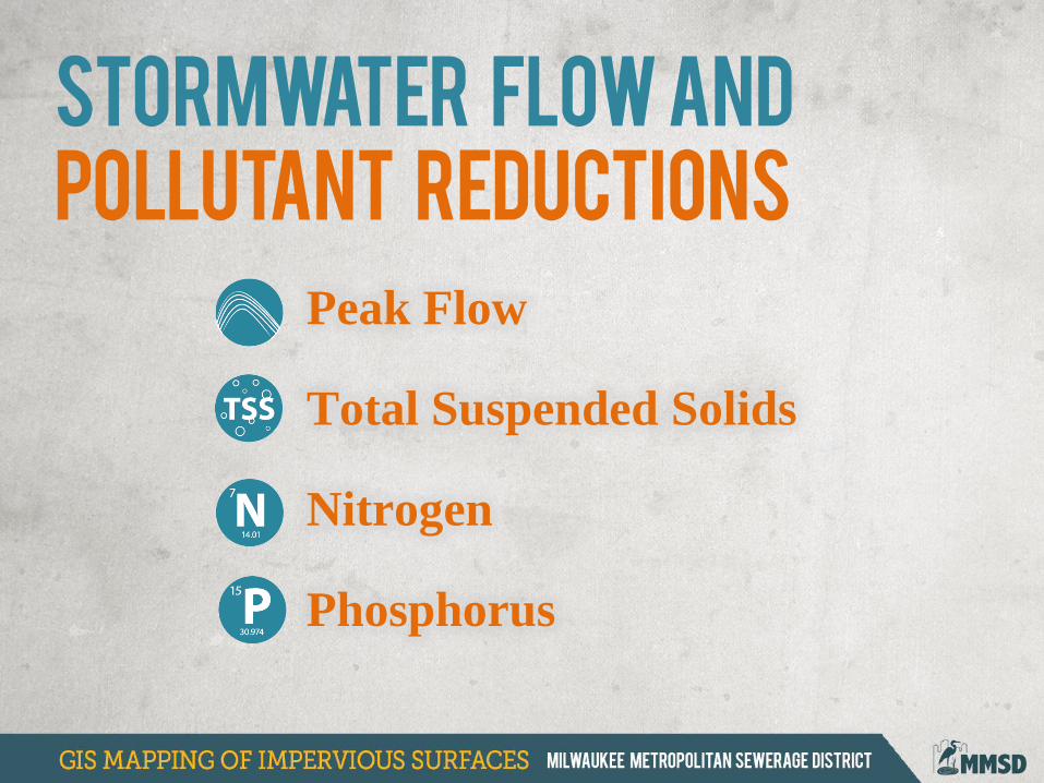
Stormwater flow and
pollutant reductions
Peak Flow
Total Suspended Solids
Nitrogen
Phosphorus
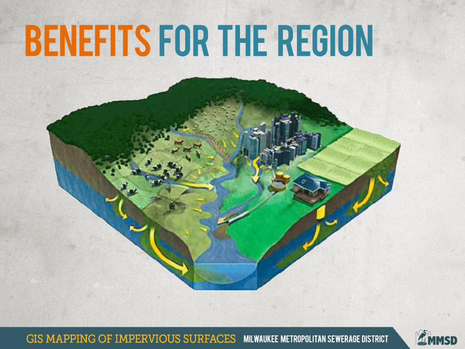
Benefits for the region
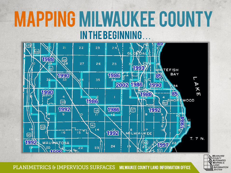
In the Beginning…
MAPPING MILWAUKEE COUNTY
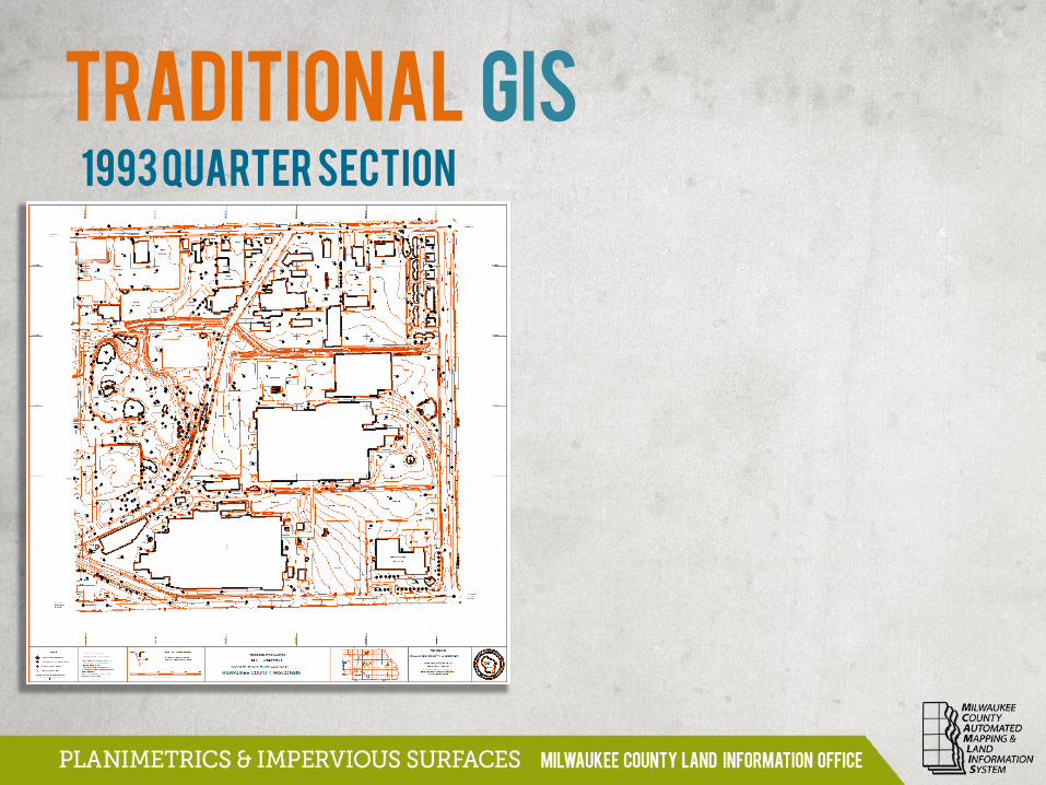
Traditional GIS
1993 Quarter Section
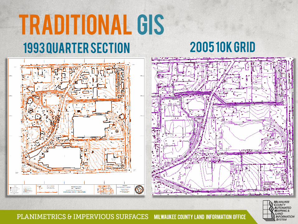
1993 Quarter Section 2005 10k Grid
Traditional GIS
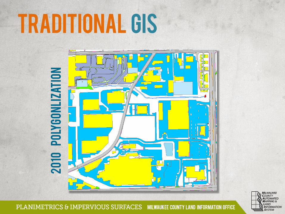
20
10
P
oly
go
nl
iza
tio
n
Traditional GIS
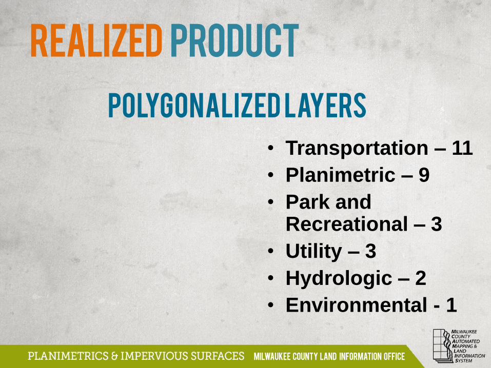
REALIZED PRODUCT
• Transportation – 11
• Planimetric – 9
• Park and Recreational – 3
• Utility – 3
• Hydrologic – 2
• Environmental - 1
Polygonalized Layers
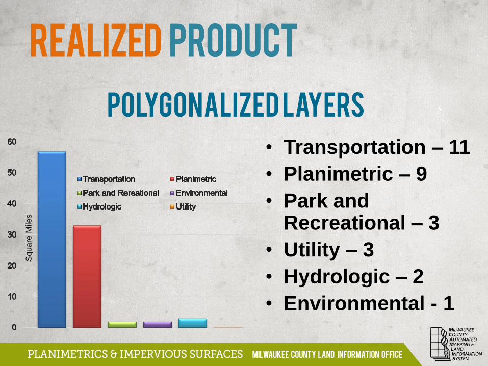
Polygonalized Layers
• Transportation – 11
• Planimetric – 9
• Park and Recreational – 3
• Utility – 3
• Hydrologic – 2
• Environmental - 1
Squ
are
Mile
s
REALIZED PRODUCT
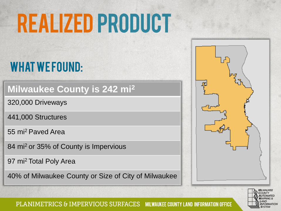
What we Found:
Milwaukee County is 242 mi2
320,000 Driveways
441,000 Structures
55 mi2 Paved Area
84 mi2 or 35% of County is Impervious
97 mi2 Total Poly Area
40% of Milwaukee County or Size of City of Milwaukee
REALIZED PRODUCT
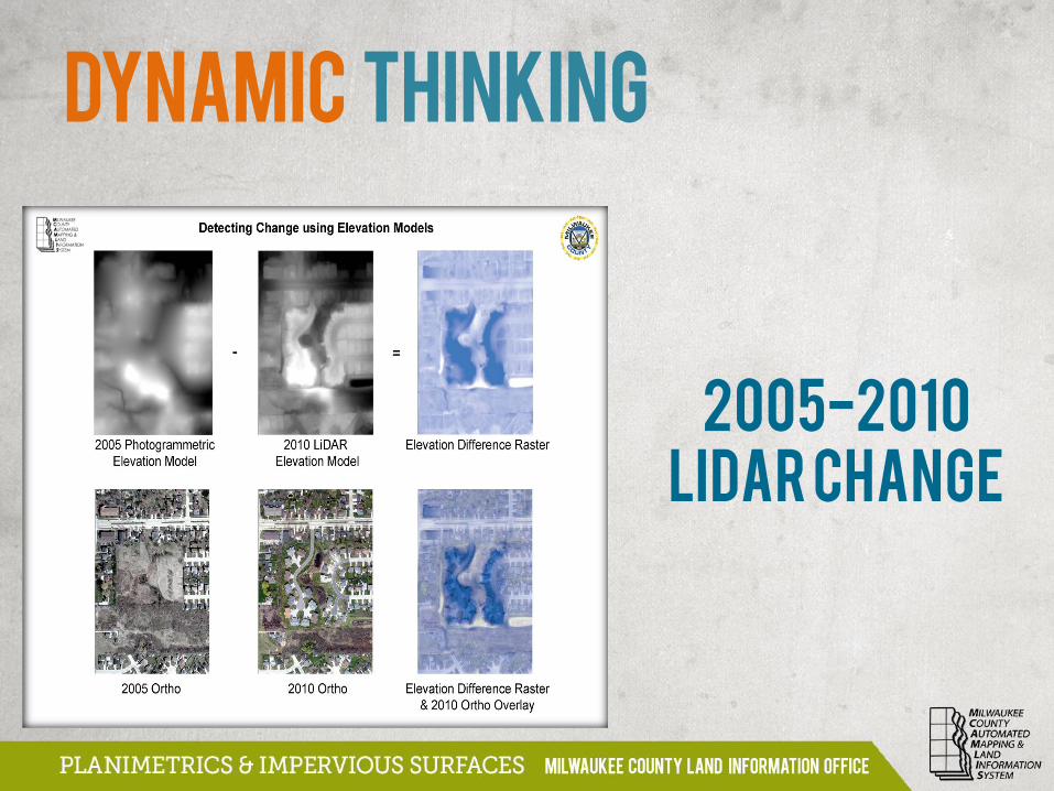
2005-2010
LiDAR Change
Dynamic THINKING
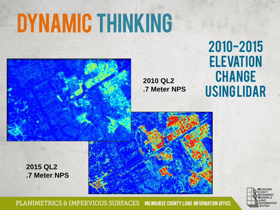
2010-2015
Elevation
Change
Using LiDAR
2015 QL2
.7 Meter NPS
Dynamic THINKING
2010 QL2
.7 Meter NPS

Quality
Control
with
LiDAR
Dynamic THINKING
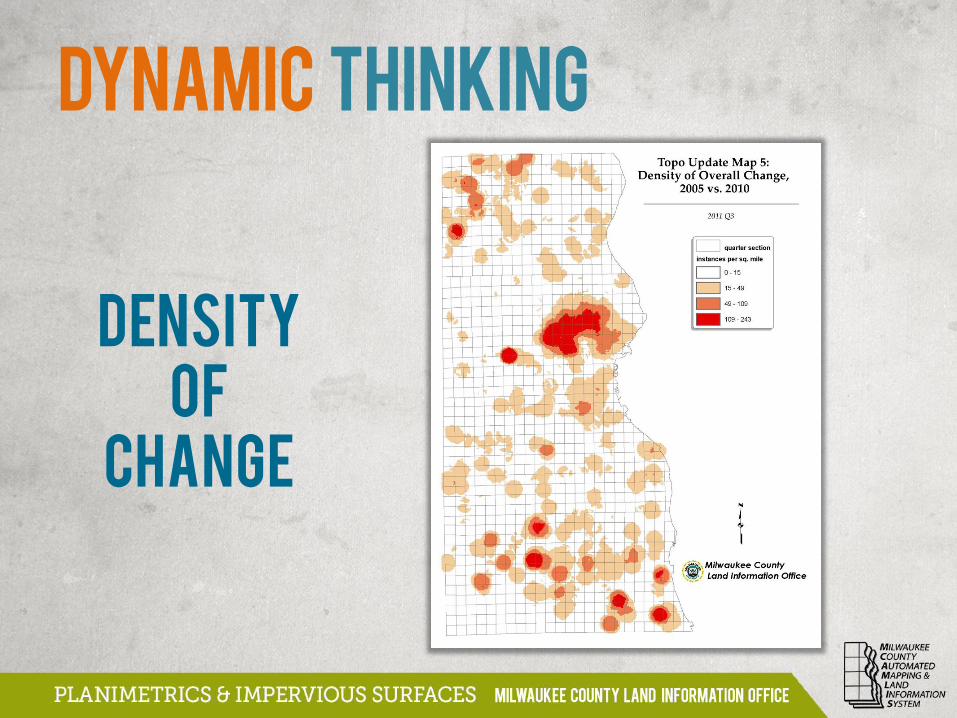
Density
of
Change
Dynamic THINKING
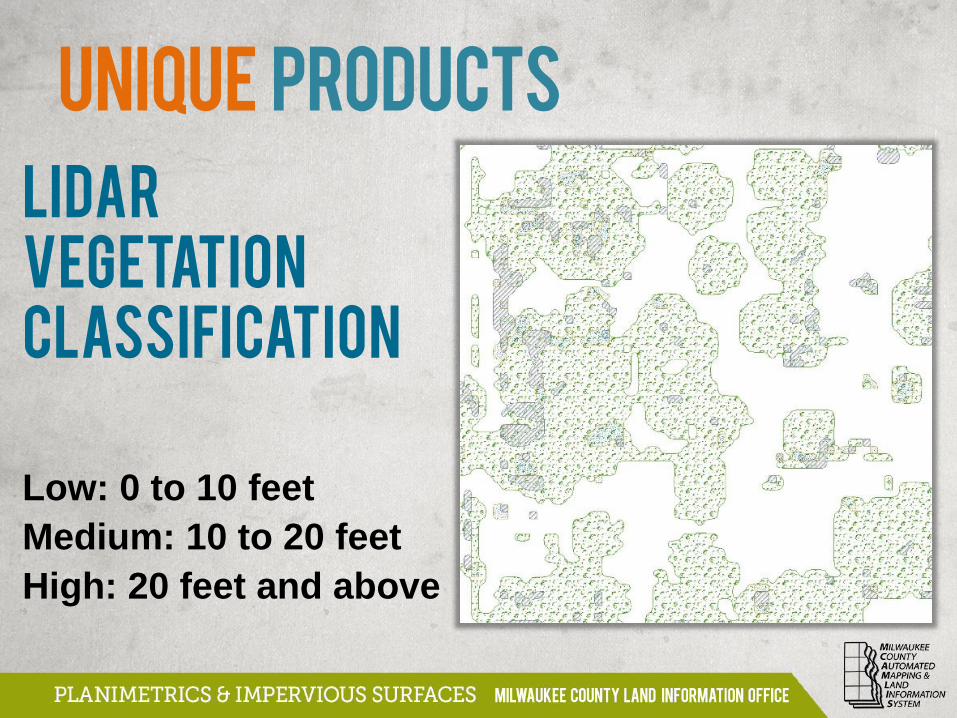
UNIQUE PRODUCTS
LiDAR
Vegetation
Classification
Low: 0 to 10 feet
Medium: 10 to 20 feet
High: 20 feet and above
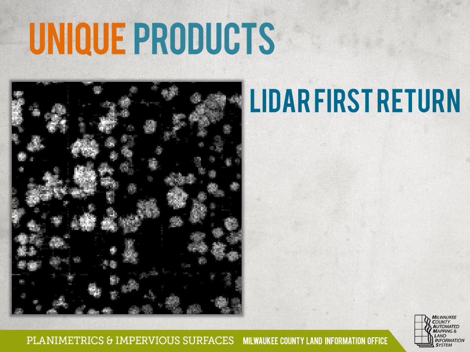
LiDAR First Return
UNIQUE PRODUCTS
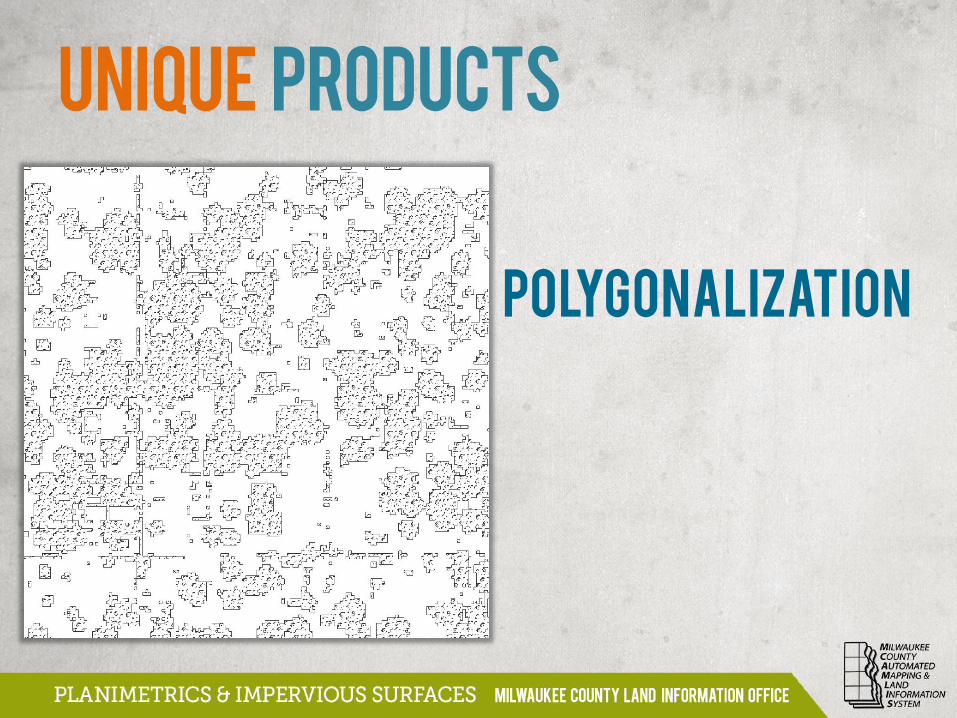
Polygonalization
UNIQUE PRODUCTS
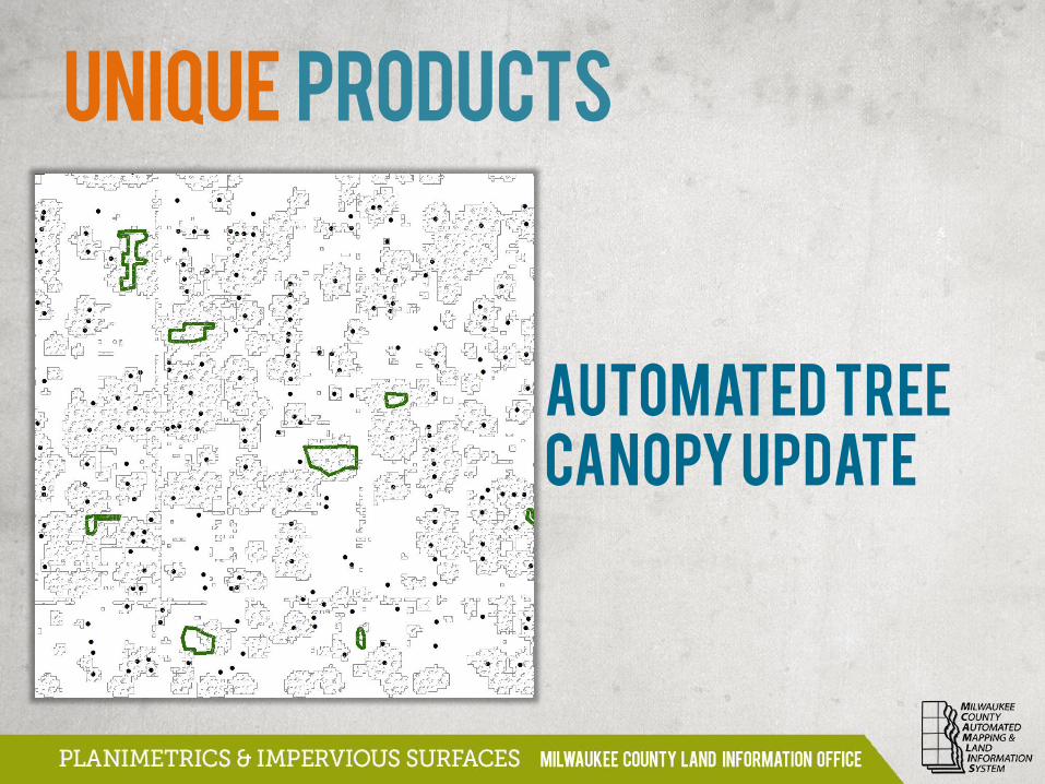
AUTOMATED TREE
CANOPY UPDATE
UNIQUE PRODUCTS
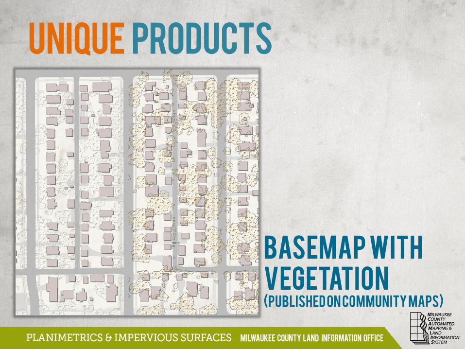
Basemap with
Vegetation
UNIQUE PRODUCTS
(PUBLISHED on COMMUNITY MAPS)
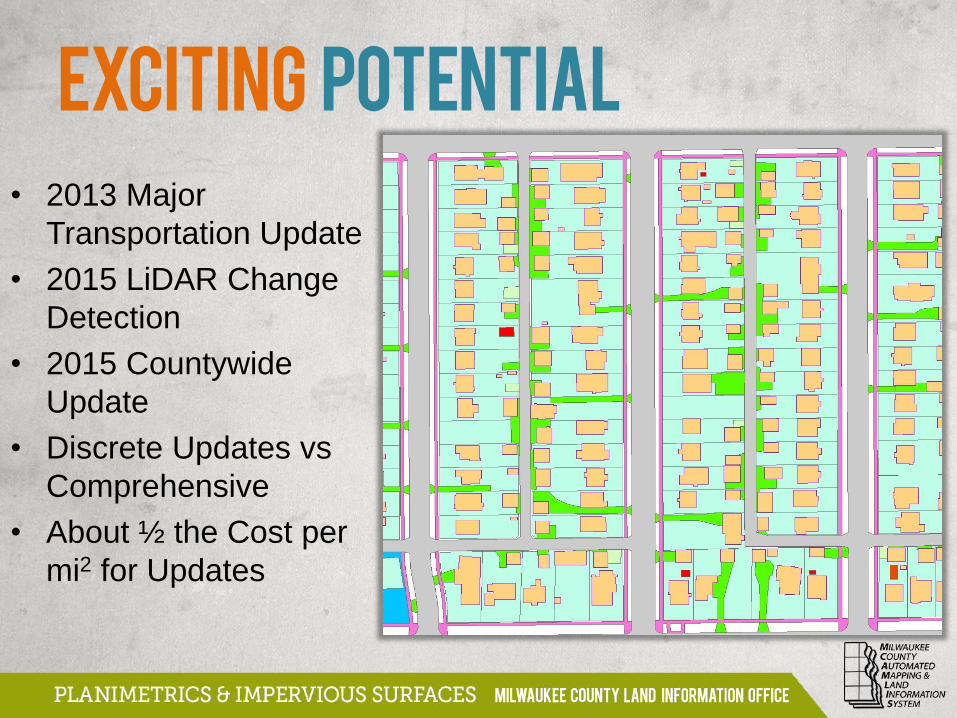
• 2013 Major
Transportation Update
• 2015 LiDAR Change
Detection
• 2015 Countywide
Update
• Discrete Updates vs
Comprehensive
• About ½ the Cost per
mi2 for Updates
EXCITING POTENTIAL
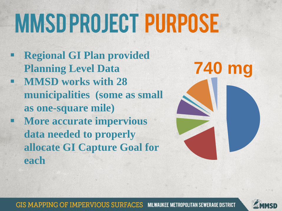
MMSD Project Purpose
Regional GI Plan provided
Planning Level Data
MMSD works with 28
municipalities (some as small
as one-square mile)
More accurate impervious
data needed to properly
allocate GI Capture Goal for
each
740 mg
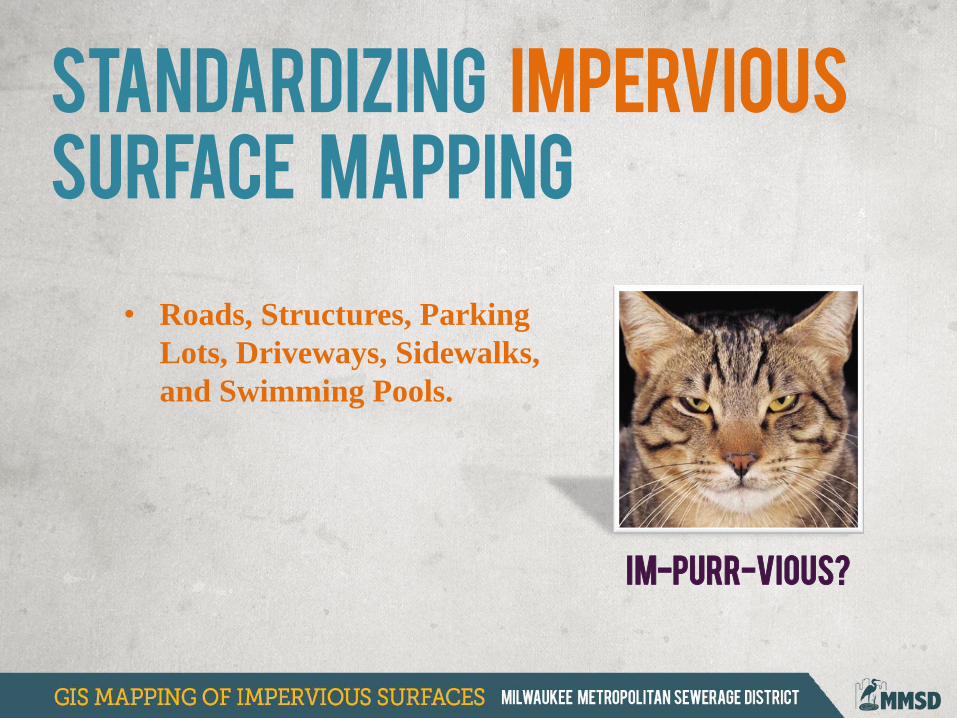
• Roads, Structures, Parking
Lots, Driveways, Sidewalks,
and Swimming Pools.
Im-PURR-vious?
Standardizing impervious
surface mapping
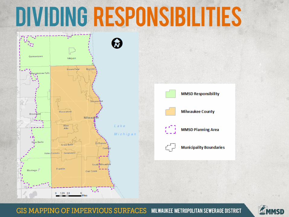
Dividing responsibilities
Mequon
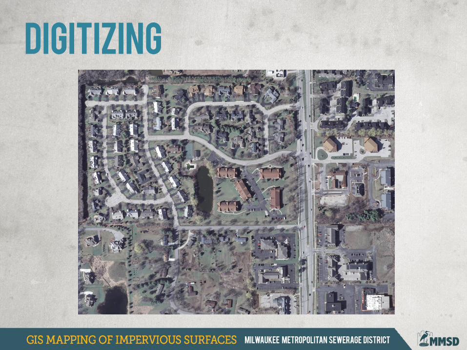
Digitizing
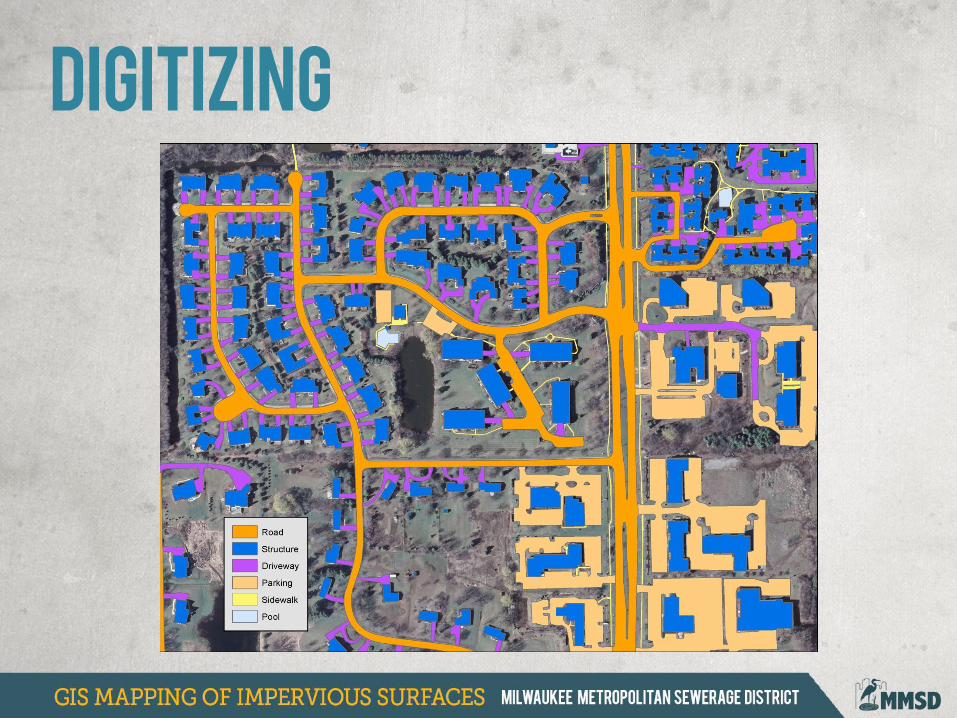
Digitizing
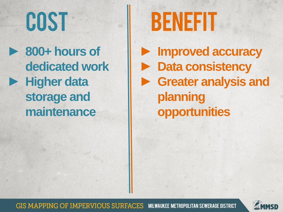
► 800+ hours of
dedicated work
► Higher data
storage and
maintenance
COST BENEFIT
► Improved accuracy
► Data consistency
► Greater analysis and
planning
opportunities
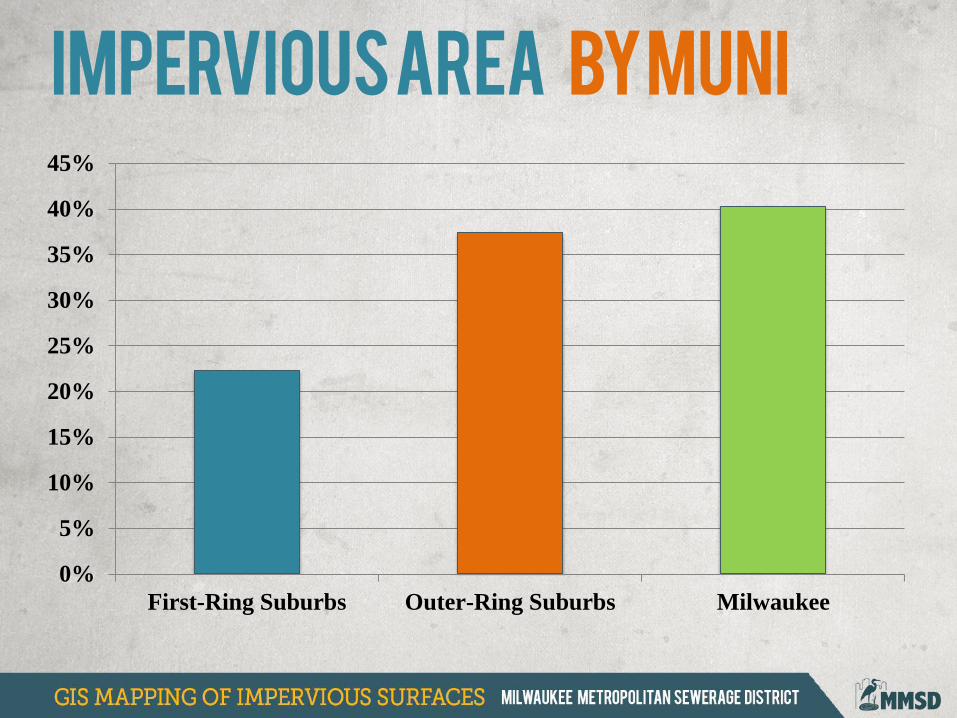
Impervious area by muni
0%
5%
10%
15%
20%
25%
30%
35%
40%
45%
First-Ring Suburbs Outer-Ring Suburbs Milwaukee
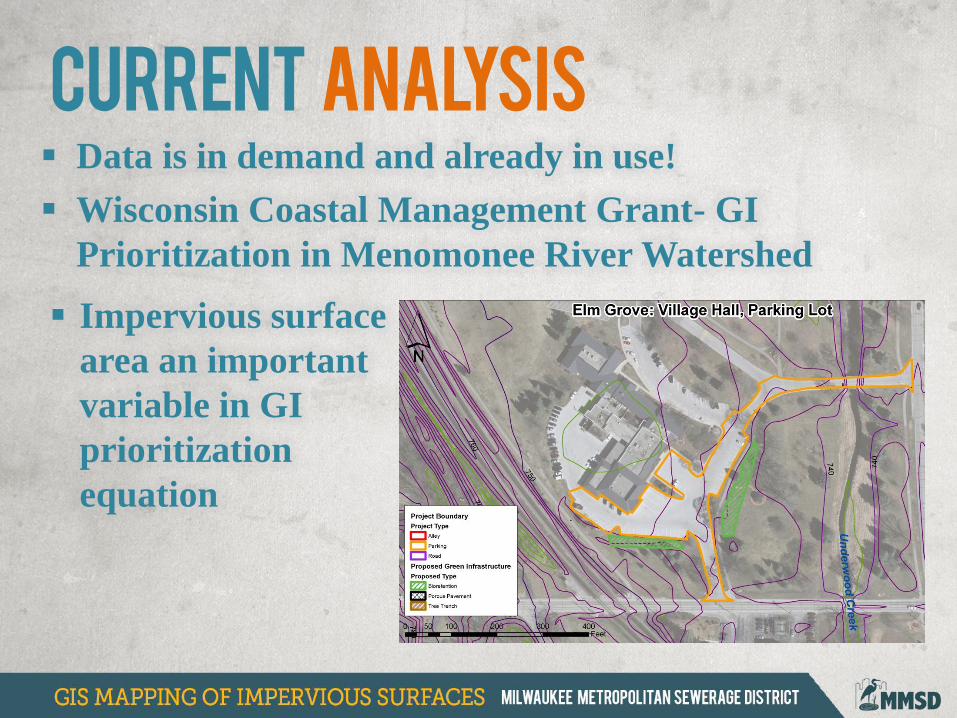
Data is in demand and already in use!
Wisconsin Coastal Management Grant- GI
Prioritization in Menomonee River Watershed
CURRENT analysis
Impervious surface
area an important
variable in GI
prioritization
equation
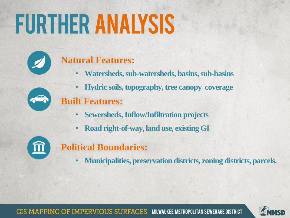
Natural Features:
• Watersheds, sub-watersheds, basins, sub-basins
• Hydric soils, topography, tree canopy coverage
Built Features:
• Sewersheds, Inflow/Infiltration projects
• Road right-of-way, land use, existing GI
Political Boundaries:
• Municipalities, preservation districts, zoning districts, parcels.
Further analysis

www.freshcoast740.com
LOG ON For more Information

MAPPING MILWAUKEE COUNTY
Where’s the data?
http://county.milwaukee.gov/mclio
/geodata.html
Rest Endpoint
http://lio.milwaukeecounty.org/
arcgis/rest/
Maps.MilwaukeeCounty.org


