dotd - · pdf filedarryl mack, dotd gis manager ... (roadway characteristics editor) 6/9/2016...
TRANSCRIPT

DOTD - GISConnecting Data to
RoadsDarryl Mack, DOTD GIS Manager
Brian Reigh, David Druen16/9/2016

Data Quality
• Complete
• Current
• Correct
• We are striving for 95% of each one.
6/9/2016 2

BLM, Census, State Data
Orthophotography
LiDAR
USGS NHD
Census, State Data
BLM, Census, State Data
USGS Quads, DOQQ
GNIS, Local Data
Traditional BasemapSources
Survey Data
Vegetation Cover
Imagery Services
Hydrography
Transportation
Boundaries
Structures
LA “409”
Database
Digital EditingDatabase
Elevation Data
6/9/2016 3
Land Use

6/9/2016 4
Imagery Layer
• GOHSEP acquired 2010 statewide imagery using detailed Control Points providing 12” – 18” accuracy
• DOTD provided a GIS Imagery Service to use the imagery for GIS Layer creation and maintenance
• Plans are to provide 2014 imagery of Metropolitan Areas when it is uploaded
• Plans are to provide more updated imagery as it is acquired and available

6/9/2016 5
Hydrography Layer• GOHSEP and DOTD invested in the development of the
Hydrography Layer completed in 2014
• Hydrography Layer includes:
• Plans are to perform updates as necessary to the USGS National Hydrography Dataset for Louisiana
• Plans are to acquire more recent imagery to perform additional updates of the Coastal HUC’s (Hydrographic Units)
• Water Point Features• Water Linear Features• Water Polygon Features• Swamp Features• Shoreline Features

6/9/2016 6
Transportation Layer• FHWA requiring all states to submit an “ARNOLD”
(All Road Network of Linear Referenced Data)
• DOTD invested in the initial “ARNOLD” development with FHWA funding completed in 2015
• Transportation Layer includes:
• Annual Maintenance of Transportation Layer
• State and Local Government working TOGETHER to improve and share GIS data for government use
• Roads• Rails• Airports• Ports
• Freight Rail Facilities• Passenger Rail Stations• Bus Stations• Airport & Railyard Areas

6/9/2016 7
Transportation Layer
Rectified to 2010 GOSHEP Imagery

6/9/2016 8
Structures Layer
• DOTD will begin developing a Structures Layer in the next year fiscal year
• DOTD is working with a division of LSU to develop this layer. The goals of this group is to:• Develop a Building Footprint for all structures in a Parish• Map all Residential Addresses in a Parish
• Incorporate existing Structures and Addressing Data
• Acquire additional Structures and Addressing Data from additional Parishes
• Plans are to provide more updated imagery as it is acquired and available

6/9/2016 9
Elevation Layer
• DOTD will begin development of an Elevation Layer using dataacquired through regular data collection contracts
• State Highway System is collected on a two year cycle using a detailed process to assure accuracy of the x,y,z gps point data
• Non‐State Roadways are being collected in a one‐time cycle around the state along with a number of roadway assets. This cycle will also provide accurate x,y,z gps point data
• Two possible Features for the Louisiana Elevation Layer• Roadway Elevation feature• Ground Elevation Model feature using the
roadway elevations and LIDAR data

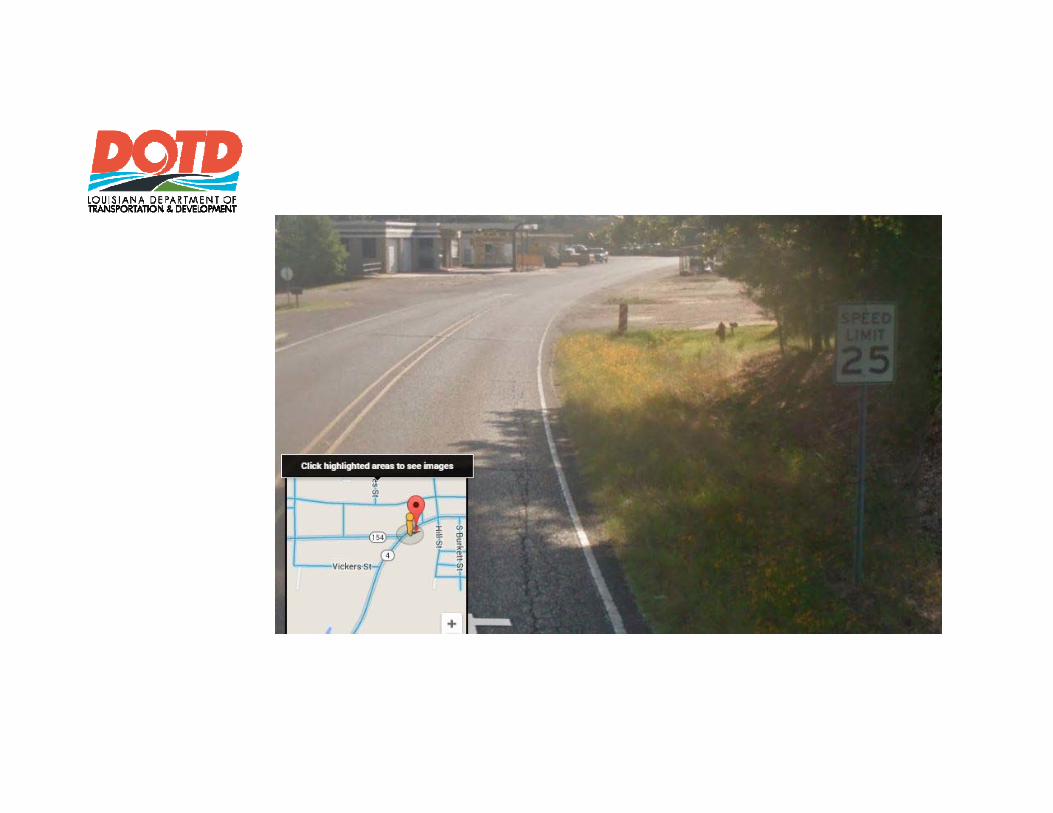
Displaying Speed Limit Data on a Map• Received spreadsheet• Converted to .csv file• Deleted first row (blank)• Saved as a .gdb table• Added an LRS_ID column
(Table had begin and end Control Sections, used the begin.)
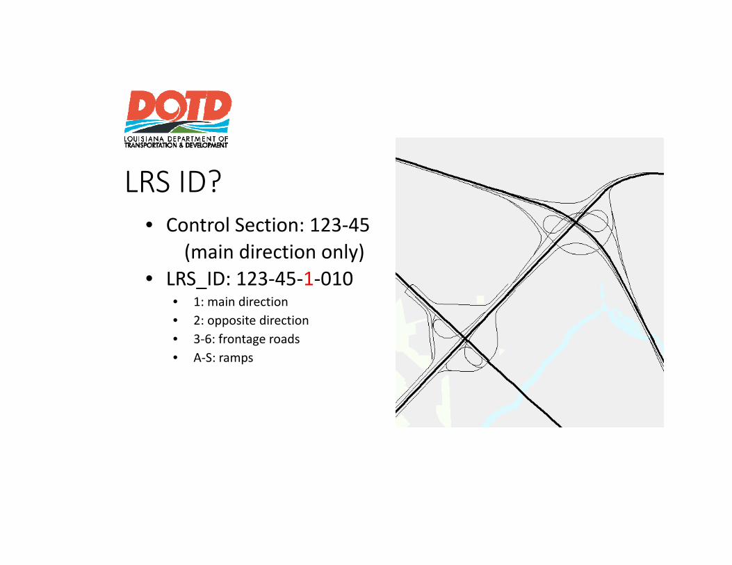
LRS ID?• Control Section: 123‐45
(main direction only)• LRS_ID: 123‐45‐1‐010
• 1: main direction• 2: opposite direction• 3‐6: frontage roads• A‐S: ramps

Displaying Speed Limit Data on a Map
• Route layer has each road with its own LRS ID and measure values.
• Table has LRS ID and begin and end logmile for each record.
• “Location Error” column could be used to improve data.


Roads & Highways, RCE• Tabular data automatically
connected to route layer.• Each section/gang able to
view and edit their data visually via “RCE” web service.
• View and compare multiple types of data simultaneously.
• As road layer changes, tabular data adjusts accordingly.

Roads & Highways• Enterprise GIS• Connecting Business Systems

Editing Databases
Published Databases
Contributors
Periodic UpdatesOf “Certified” Data
Users
Used by Data Maintenance Process
Used by All Others
Local secure storage with WAN access to authorized contributors
Published to Webfor client usage or privately published to secure servers
6/9/2016 21

Workflow Manager
RCE (Roadway Characteristics Editor)

6/9/2016 23
Roadway Assets1. Surface Types2. Lane Widths3. Number of Lanes4. Median Types5. Median Widths6. Shoulder Types7. Shoulder Widths8. Turn Lanes9. Curb Locations10. Sidewalks and Ramps
11. Bridge Locations12. Railroad Crossings13. Intersections14. Grades15. Horizontal Curves16. Vertical Curves17. Sight Distance18. Terrain Type19. Speed Limit Signs20. Roadside Cultural Features
The roadway assets listed above have been collected for the state highway system and are currently being collected for non‐state maintained roadways that are identified as “public roadways”.

6/9/2016 24
QUESTIONS
SUGGESTIONS
DISCUSSION