claudia notarnicola, georg niedrist, stefano della chiesa ... - notarnicola.pdf · mazia...
TRANSCRIPT
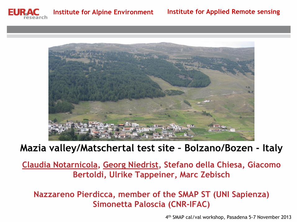
Mazia valley/Matschertal test site – Bolzano/Bozen - Italy
Claudia Notarnicola, Georg Niedrist, Stefano della Chiesa, Giacomo
Bertoldi, Ulrike Tappeiner, Marc Zebisch
Nazzareno Pierdicca, member of the SMAP ST (UNI Sapienza)
Simonetta Paloscia (CNR-IFAC)
Institute for Alpine Environment Institute for Applied Remote sensing
4th SMAP cal/val workshop, Pasadena 5-7 November 2013

Experimental Transect Station B3
2000 m
Station B2
1500 m
Station B1
1000 m
Pictures of landscape and stations

Pictures of landscape and stations

SMAP Grid Cell and station map
The land class predominant over the 36km is the grassland which over this area is located at an average altitude of 2000m a.s.l
with a standard deviation of around 500 m.
The location of the S4 station at around 2300m is then representative of the grassland in "average" for this area.

Approach to calibration
• Use of TDR and gravimetric samples
• Good correspondence with station
values;
• Patterns correspond to land
cover/topographic features.

Representation of SMAP products
Site name ID # Variables (depth)
Schluderns/Sluderno
(B1000)
4401
1 SM* at 5 and 20cm (2 replicates) ST at 0.5, 5, 10, 20 and 50cm depth, PREC.
Tair (both at 2m) manually downloadable by GSM connection. (Decagon sensor)
Muntetsching (B1500) 1(6)
SM at 5 and 20cm (2 replicates) ST at 0.5, 5, 10, 20 and 50cm depth, PREC.
Tair (both at 2m) manually downloadable by GSM connection. (5 more
replicates of SM profiles will be installed in autumn 2013)
Tartscher Leger (B2000) 1 SM at 5 and 20cm (2 replicates) ST at 0.5, 5, 10, 20 and 50cm depth, PREC.
Tair (both at 2m) manually downloadable by GSM connection.
B4 (2300) 1
SM at 5 and 20cm (2 replicates) ST at 0.5, 5, 10, 20 and 50cm depth,
PREC. Tair (both at 2m) manually downloadable by GSM connection.
Representation for 5 cm and 20 cm with 2 replicates for each level

Approach to up-scale SMAP products
Landscape Auxiliary data:
DEM
Land use
Hydrological model
Clu
steri
ng
SMC
database
Avera
gin
g in
clu
sters
Weig
hte
d a
vera
ge
in p
ixels
Upsc
ale
d m
ap
(Up-scaling and algorithm develpment in collaboration with
N. Pierdicca)

Next year field campaigns
Next field campaigns: May-September 2014 (1-2 per month)- 4 teams –
Snow presence from Nov-Dec to April
Gravimetric samples + TDR sensors (including sampling close to stations
for calibration)
Samples from vegetation for VWC

Acknowledgment
This work is supported by the projects “HiResAlp” and “HydroAlp” financed by
Provincia Autonoma di Bolzano, Alto Adige, Ripartizione Diritto allo Studio,
Università e ricerca scientifica.
Thank you for your attention!