chuck bargeron university of georgia – bugwood network
DESCRIPTION
Chuck Bargeron University of Georgia – Bugwood Network (Center for Invasive Species and Ecosystem Health). Early Detection and Distribution Mapping System. Distribution of Invasive Plants Across the South Electronic Early Detection System to Allow for More Rapid Responses - PowerPoint PPT PresentationTRANSCRIPT

Chuck BargeronChuck BargeronUniversity of Georgia – Bugwood NetworkUniversity of Georgia – Bugwood Network
(Center for Invasive Species and Ecosystem (Center for Invasive Species and Ecosystem Health)Health)

1.1. Distribution of Invasive Plants Distribution of Invasive Plants Across the SouthAcross the South
2.2. Electronic Early Detection System to Electronic Early Detection System to Allow for More Rapid ResponsesAllow for More Rapid Responses
3.3. Large Scale Cooperative Large Scale Cooperative Management of New Invasive Management of New Invasive SpeciesSpecies
Early Detection and Early Detection and Distribution Mapping SystemDistribution Mapping System

No complete distribution data for SoutheastNo complete distribution data for Southeast Holes in USDA PLANTS and now USDA Forest Service FIA dataHoles in USDA PLANTS and now USDA Forest Service FIA data Some data existed but not compiled in one locationSome data existed but not compiled in one location
SE-EPPC could provide support for state SE-EPPC could provide support for state chapterschapters
Invasive Plant List justificationInvasive Plant List justification State EPPCs could provide EDRR frameworkState EPPCs could provide EDRR framework Central location for collection and storage of Central location for collection and storage of
datadata
HistoryHistory


Current Data - StatisticsCurrent Data - Statistics
80,027 records80,027 records 10,017 point records10,017 point records 493 plants493 plants


Southeast County MapsSoutheast County Maps

Southeast County MapsSoutheast County Maps


State County MapsState County Maps
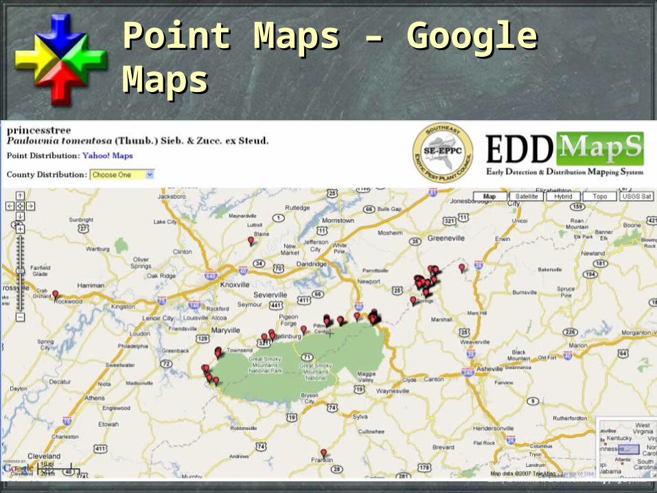
Point Maps – Google Point Maps – Google MapsMaps
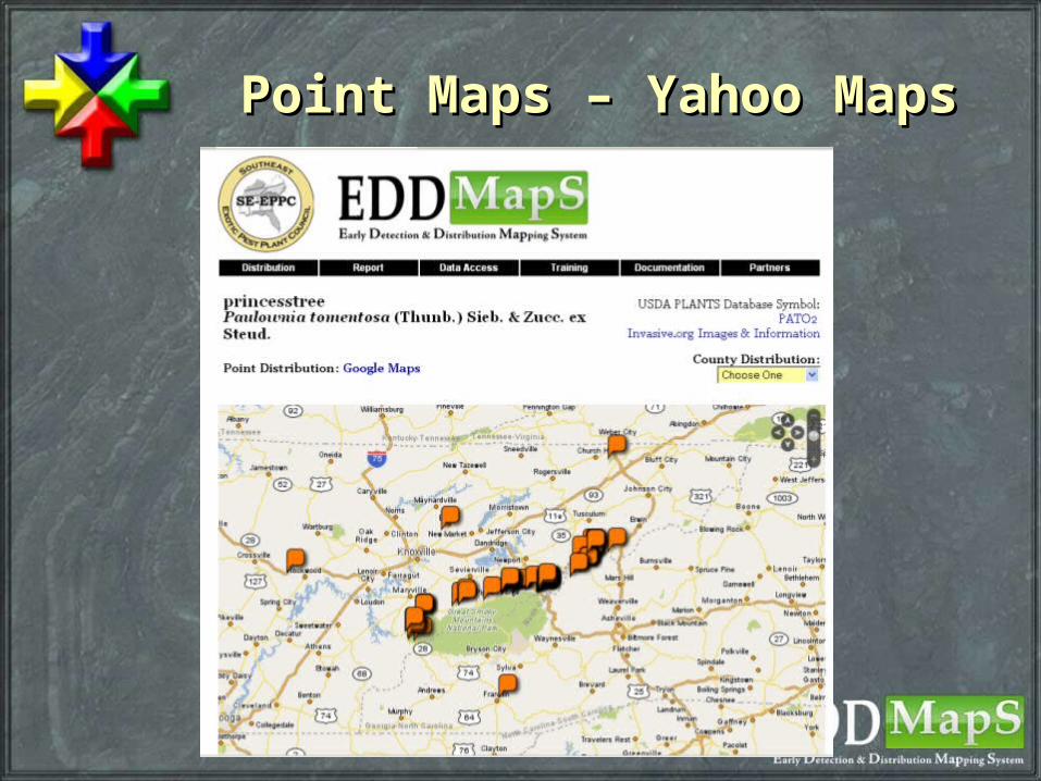
Point Maps – Yahoo MapsPoint Maps – Yahoo Maps


Paper Collection Paper Collection FormsForms

Data Access FeaturesData Access Features

Data DownloadsData Downloads

Data DownloadsData Downloads


County – ListsCounty – Lists

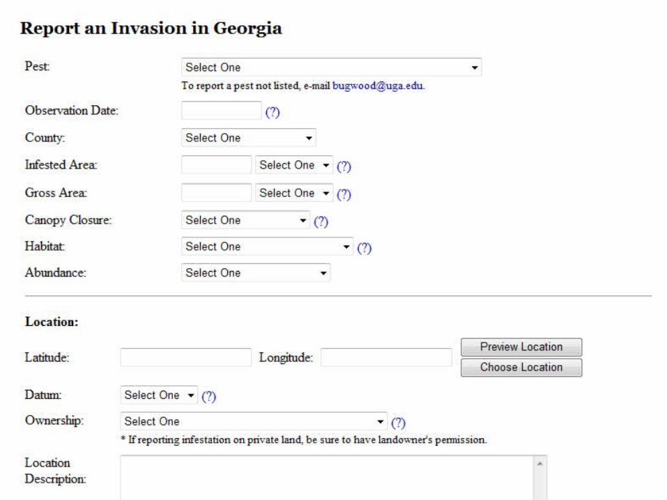
Electronic Early Detection Electronic Early Detection SystemSystem
Each state has a designated reviewerEach state has a designated reviewer Responsible for verifying all data entered in that Responsible for verifying all data entered in that
statestate Responsible for notifying the appropriate people Responsible for notifying the appropriate people
when a EDRR species is reportedwhen a EDRR species is reported Each state can designate EDRR species that Each state can designate EDRR species that
automatically are flaggedautomatically are flagged Email sent to designated persons within the state Email sent to designated persons within the state
when a EDRR species is reportedwhen a EDRR species is reported State EDRR CommitteesState EDRR Committees
Electronic Early Detection Electronic Early Detection SystemSystem
State designated EDRR list vs. SE-wide State designated EDRR list vs. SE-wide listlist State list allows for more specificityState list allows for more specificity Species that are common in one state may Species that are common in one state may
be a EDRR species in anotherbe a EDRR species in another Example garlic mustardExample garlic mustard
Common in TN and KYCommon in TN and KY EDRR species in GA and ALEDRR species in GA and AL


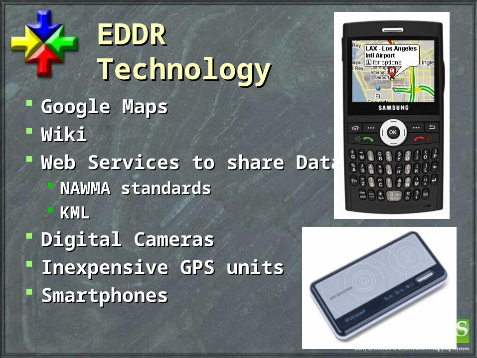
EDDR EDDR TechnologyTechnology
Google MapsGoogle Maps WikiWiki Web Services to share DataWeb Services to share Data
NAWMA standardsNAWMA standards KMLKML
Digital CamerasDigital Cameras Inexpensive GPS unitsInexpensive GPS units SmartphonesSmartphones


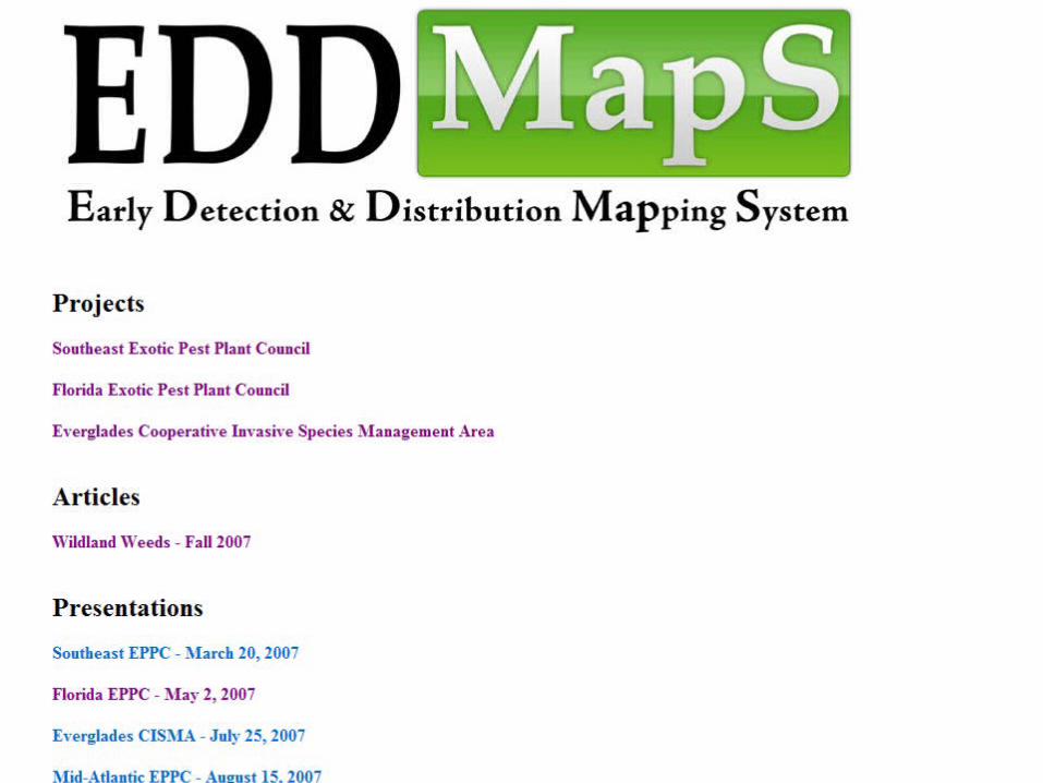
EDDMapSEDDMapS
2 years and going strong2 years and going strong Further compilation of collection dataFurther compilation of collection data Working toward collaboration between all of Working toward collaboration between all of
the mapping projects underwaythe mapping projects underway Integration with ArcGIS software to output Integration with ArcGIS software to output
shapefiles and more detailed mapsshapefiles and more detailed maps Looking for funding opportunitiesLooking for funding opportunities Invasive Plant Atlas…Invasive Plant Atlas…
Thanks, Any Questions?Thanks, Any Questions?
www.bugwood.orgwww.bugwood.org
www.se-eppc.orgwww.se-eppc.org
www.invasive.orgwww.invasive.org