chapter 1: georgia’s land and climate study...
TRANSCRIPT
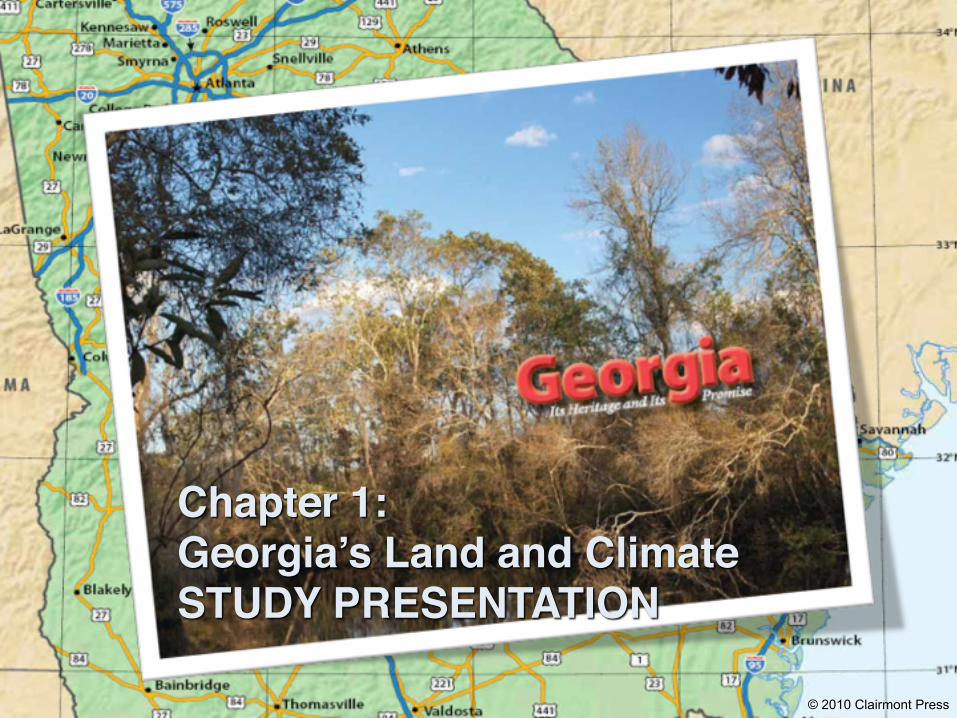
Chapter 1:Georgia’s Land and ClimateSTUDY PRESENTATION
© 2010 Clairmont Press
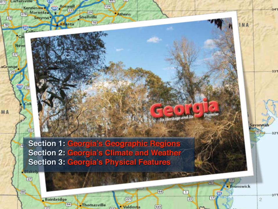
Section 1: Georgia’s Geographic Regions Section 2: Georgia’s Climate and Weather Section 3: Georgia’s Physical Features
2

Section 1: Georgia’s Geographic Regions
!Essential Question• In what ways do Georgia’s geographic regions
differ?
3

Section 1: Georgia’s Geographic Regions
!What terms do I need to know? • erosion• fault• elevation• Fall Line• aquifer• marsh
4

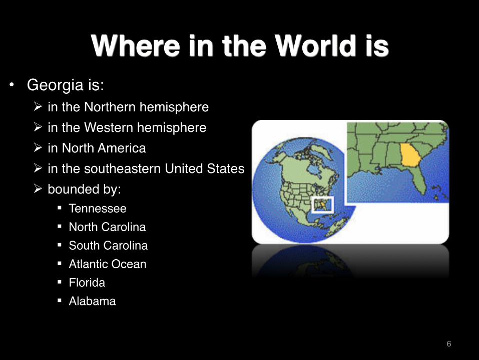
Where in the World is • Georgia is:
! in the Western hemisphere! in the Northern hemisphere! in North America! in the southeastern United States! bounded by:
" Tennessee" North Carolina" South Carolina" Atlantic Ocean" Florida" Alabama
5
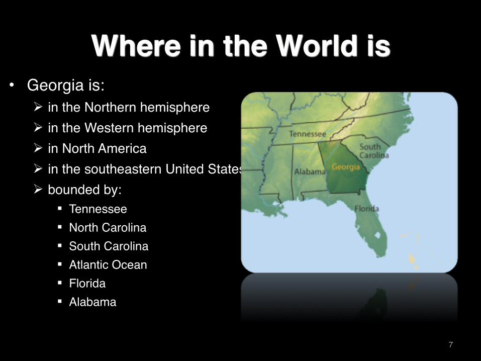
Where in the World is • Georgia is:
! in the Northern hemisphere! in the Western hemisphere! in North America! in the southeastern United States! bounded by:
" Tennessee" North Carolina" South Carolina" Atlantic Ocean" Florida" Alabama
6
Where in the World is • Georgia is:
! in the Northern hemisphere! in the Western hemisphere! in North America! in the southeastern United States! bounded by:
" Tennessee" North Carolina" South Carolina" Atlantic Ocean" Florida" Alabama
7
Section 1: Georgia’s Geographic Regions
!Georgia has five regions: Appalachian Plateau, Ridge and Valley area, Blue Ridge Mountains, Piedmont, and Coastal Plain.
!Soil, physical features, and climate differ in these regions.
!Differences affect the plant and animal life as well as the history of the region.
!Differences affect how people earn a living as well as where people live.
8
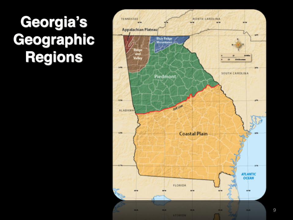
Georgia’s Geographic
Regions
9
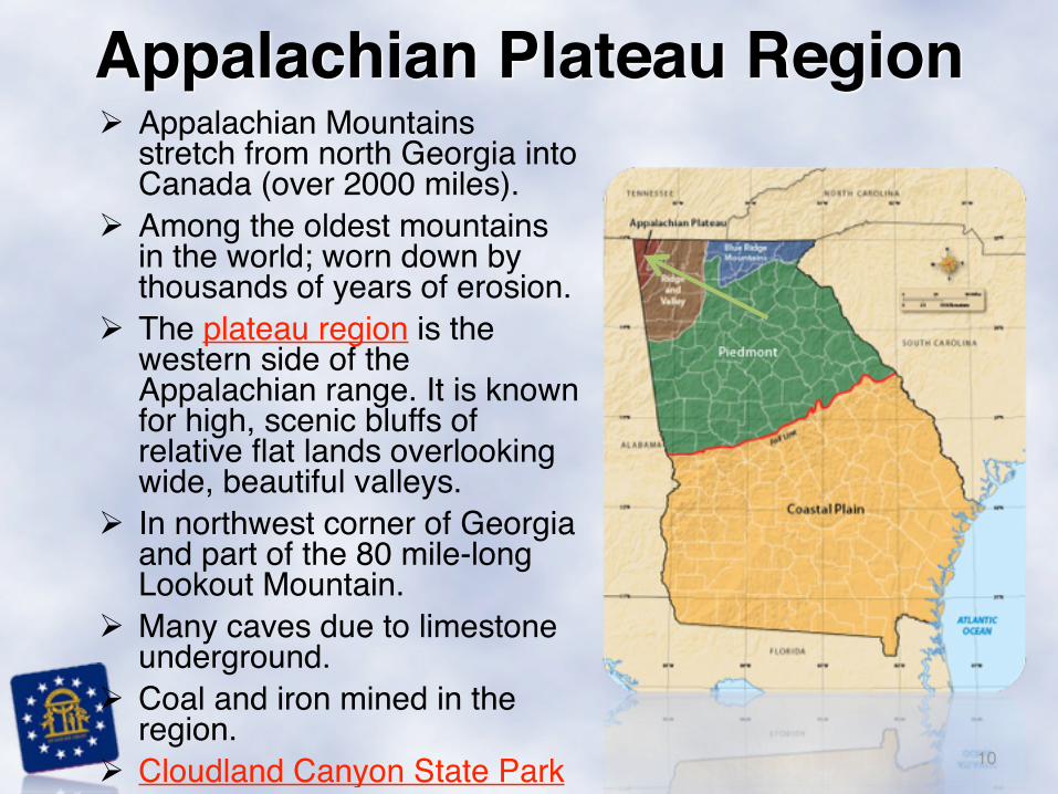
! Appalachian Mountains stretch from north Georgia into Canada (over 2000 miles).
! Among the oldest mountains in the world; worn down by thousands of years of erosion.
! The plateau region is the western side of the Appalachian range. It is known for high, scenic bluffs of relative flat lands overlooking wide, beautiful valleys.
! In northwest corner of Georgia and part of the 80 mile-long Lookout Mountain.
! Many caves due to limestone underground.
! Coal and iron mined in the region.
! Cloudland Canyon State Park
Appalachian Plateau Region
10
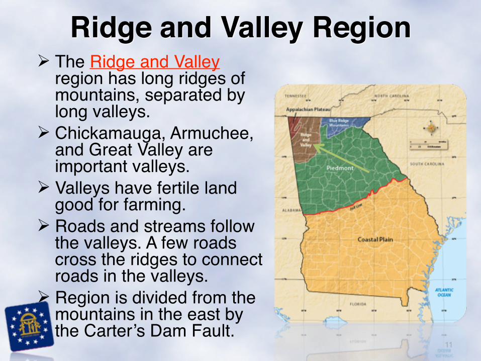
! The Ridge and Valley region has long ridges of mountains, separated by long valleys.
! Chickamauga, Armuchee, and Great Valley are important valleys.
! Valleys have fertile land good for farming.
! Roads and streams follow the valleys. A few roads cross the ridges to connect roads in the valleys.
! Region is divided from the mountains in the east by the Carter’s Dam Fault.
11
Ridge and Valley Region

! The Blue Ridge range is a part of the larger Appalachian Mountains.
! The mountains are more rugged and the valleys randomly arranged as compared to the Ridge and Valley region.
! Most roads follow the winding valleys.
! Elevations of 1,600 to 4,700 feet above sea level give the region a cooler climate.
! Brasstown Bald (4,784 feet) is tallest mountain.
! Appalachian Trail begins here.! Gold has been found in the region,
and marble is an important natural resource.
! Tourists come to hike, view wildlife, canoe, raft, and enjoy trees in their fall colors. 12
Blue Ridge Mountains Region
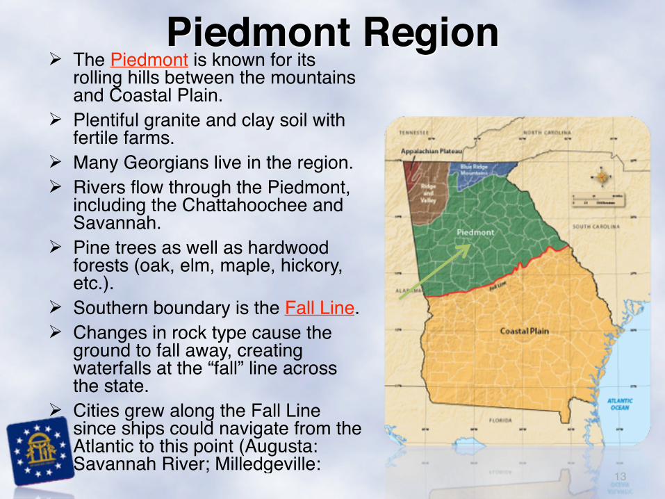
! The Piedmont is known for its rolling hills between the mountains and Coastal Plain.
! Plentiful granite and clay soil with fertile farms.
! Many Georgians live in the region.! Rivers flow through the Piedmont,
including the Chattahoochee and Savannah.
! Pine trees as well as hardwood forests (oak, elm, maple, hickory, etc.).
! Southern boundary is the Fall Line.! Changes in rock type cause the
ground to fall away, creating waterfalls at the “fall” line across the state.
! Cities grew along the Fall Line since ships could navigate from the Atlantic to this point (Augusta: Savannah River; Milledgeville:
13
Piedmont Region
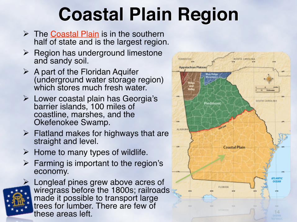
! The Coastal Plain is in the southern half of state and is the largest region.
! Region has underground limestone and sandy soil.
! A part of the Floridan Aquifer (underground water storage region) which stores much fresh water.
! Lower coastal plain has Georgia’s barrier islands, 100 miles of coastline, marshes, and the Okefenokee Swamp.
! Flatland makes for highways that are straight and level.
! Home to many types of wildlife.! Farming is important to the region’s
economy. ! Longleaf pines grew above acres of
wiregrass before the 1800s; railroads made it possible to transport large trees for lumber. There are few of these areas left. 14
Coastal Plain Region
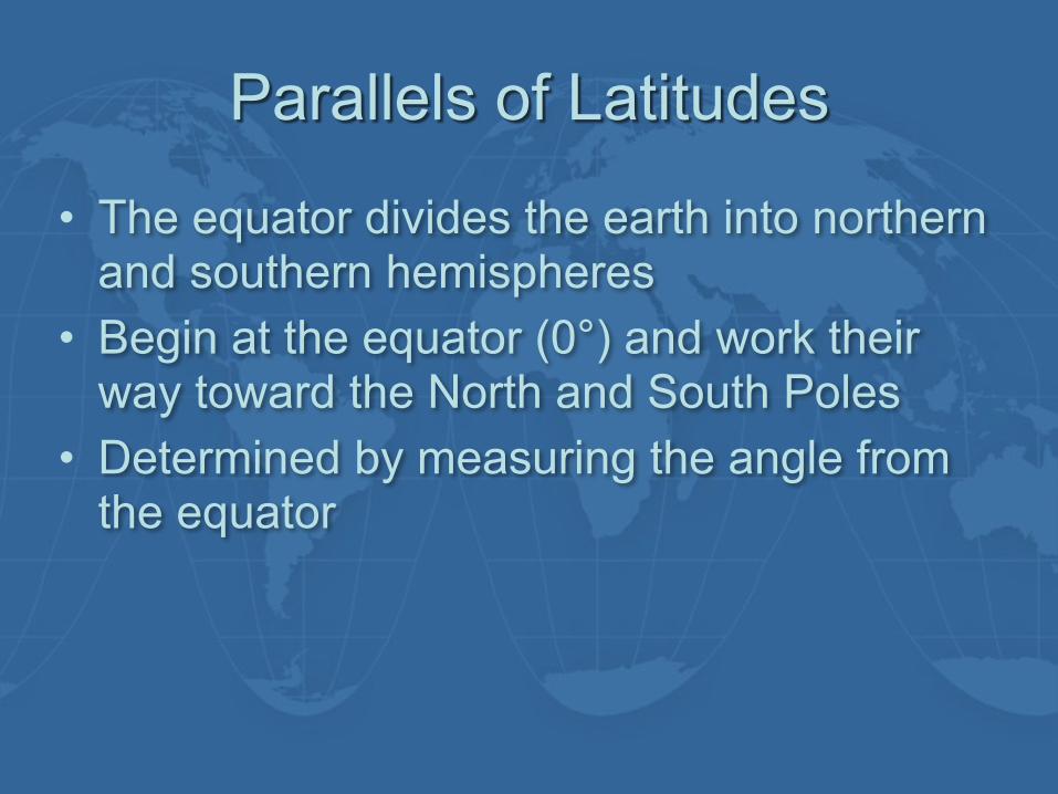
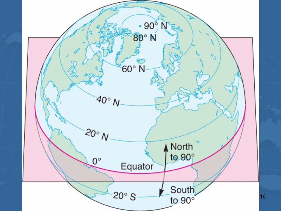
Parallels of Latitudes
• The equator divides the earth into northern and southern hemispheres
• Begin at the equator (0°) and work their way toward the North and South Poles
• Determined by measuring the angle from the equator
16
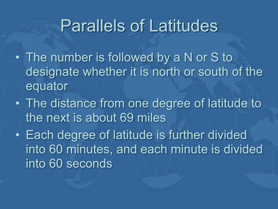
Parallels of Latitudes
• The number is followed by a N or S to designate whether it is north or south of the equator
• The distance from one degree of latitude to the next is about 69 miles
• Each degree of latitude is further divided into 60 minutes, and each minute is divided into 60 seconds

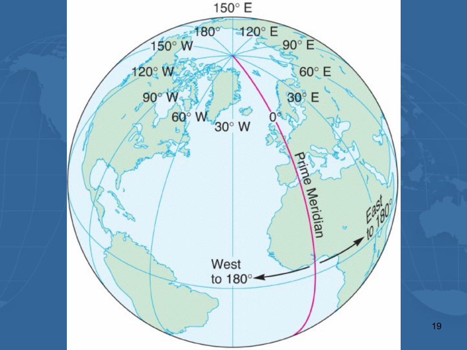
Meridians of Longitude
• Run north and south around the earth • Prime meridian
– The main meridian on which all other lines of longitude are based
– Runs through Greenwich, England • Great Circle: Line that divides the earth
into two equal hemispheres
19
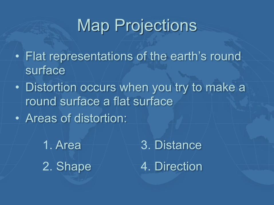
Map Projections
• Flat representations of the earth’s round surface
• Distortion occurs when you try to make a round surface a flat surface
• Areas of distortion:
1. Area
2. Shape
3. Distance
4. Direction
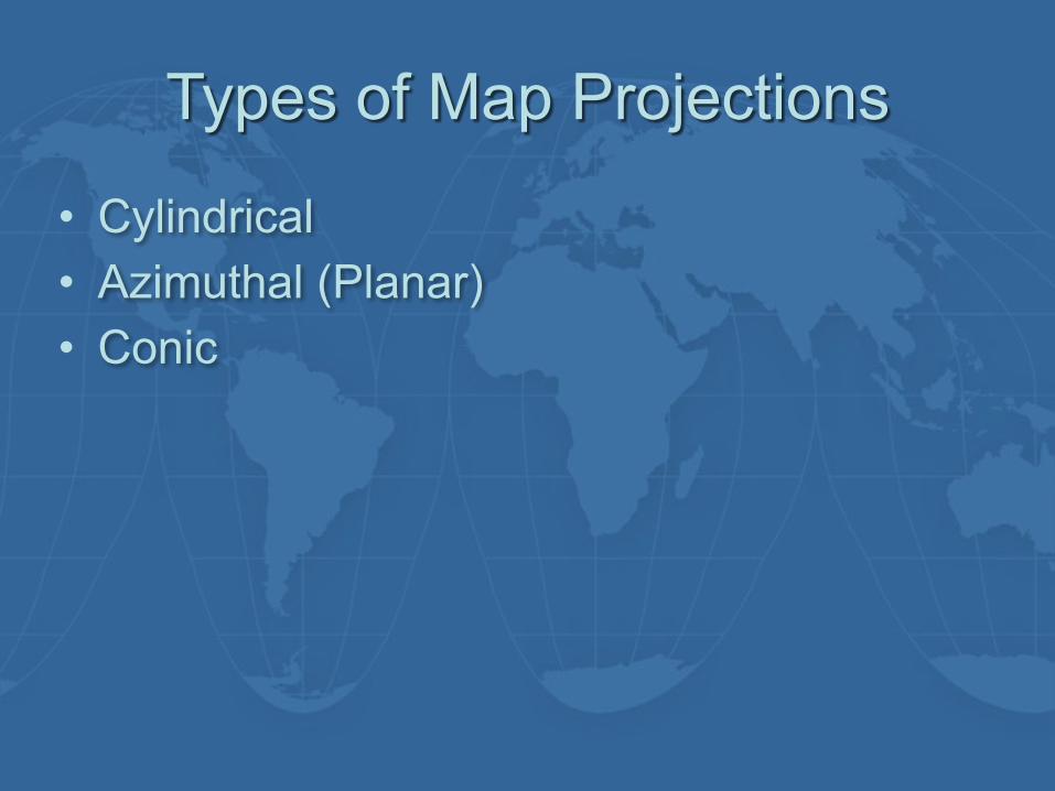
Types of Map Projections
• Cylindrical • Azimuthal (Planar) • Conic
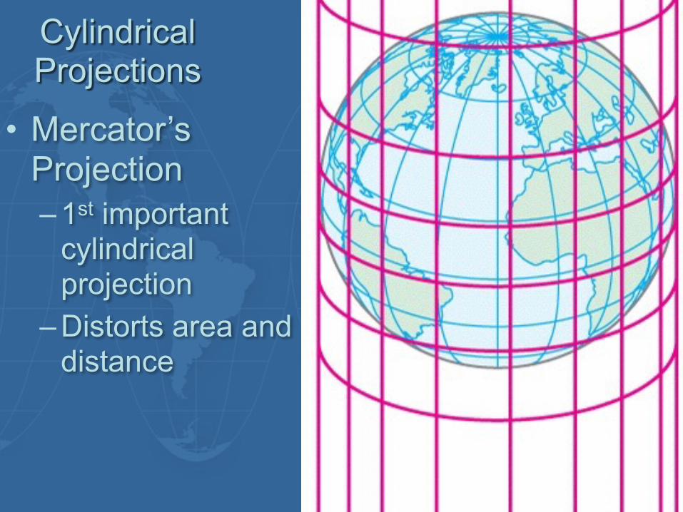
Cylindrical Projections
• Mercator’s Projection – 1st important
cylindrical projection
– Distorts area and distance
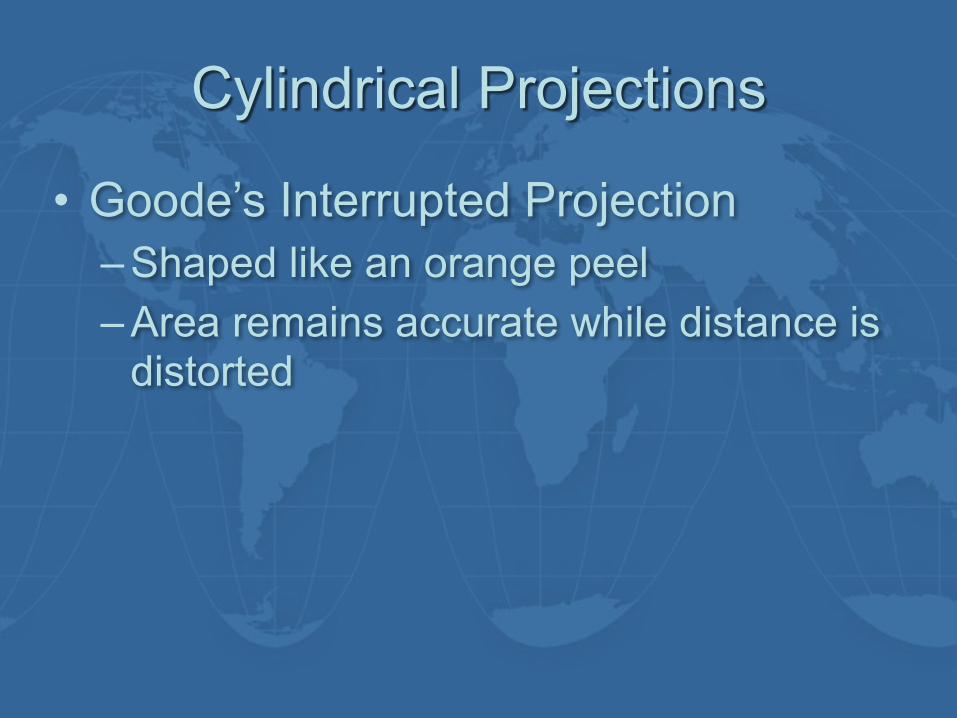
Cylindrical Projections
• Goode’s Interrupted Projection – Shaped like an orange peel – Area remains accurate while distance is
distorted
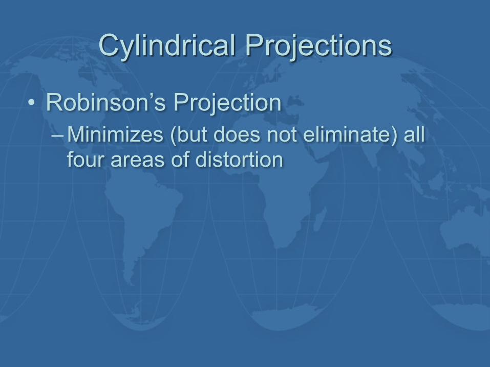
Cylindrical Projections
• Robinson’s Projection – Minimizes (but does not eliminate) all
four areas of distortion
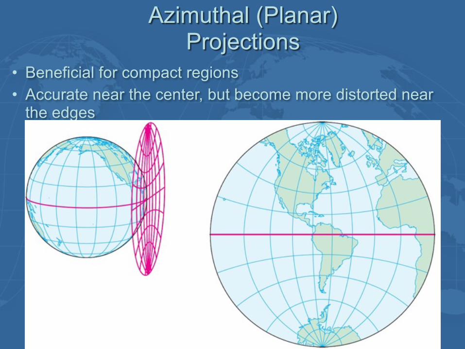
Azimuthal (Planar) Projections
• Beneficial for compact regions • Accurate near the center, but become more distorted near
the edges
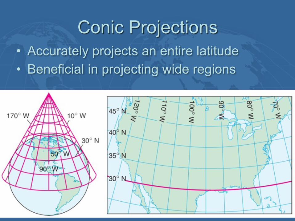
Conic Projections• Accurately projects an entire latitude • Beneficial in projecting wide regions
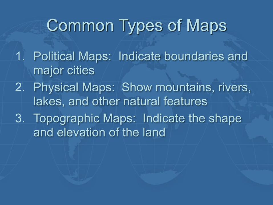
Common Types of Maps
1. Political Maps: Indicate boundaries and major cities
2. Physical Maps: Show mountains, rivers, lakes, and other natural features
3. Topographic Maps: Indicate the shape and elevation of the land
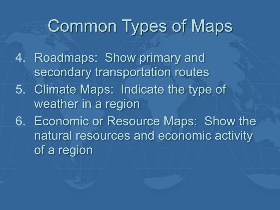
Common Types of Maps
4. Roadmaps: Show primary and secondary transportation routes
5. Climate Maps: Indicate the type of weather in a region
6. Economic or Resource Maps: Show the natural resources and economic activity of a region
29
CHAPTER 1: THE ONLY SURE FOUNDATION

THE NECESSITY OF GOVERNMENT
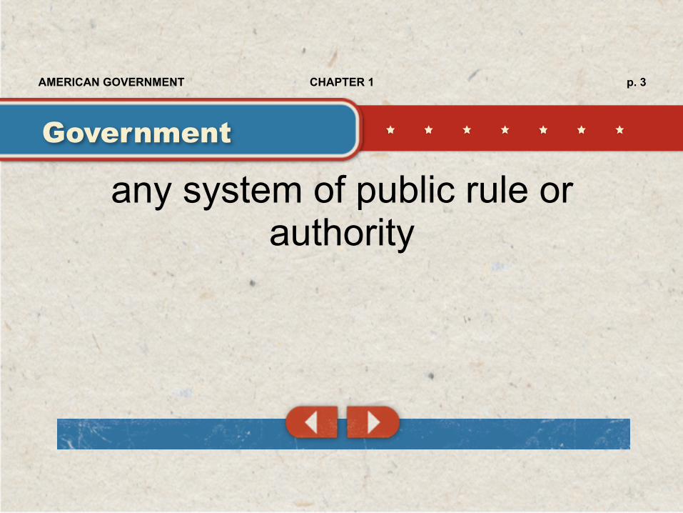
any system of public rule or authority
Government
p. 3CHAPTER 1AMERICAN GOVERNMENT
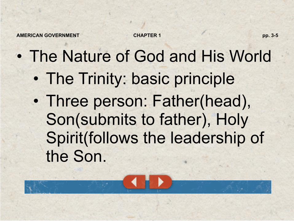
• The Nature of God and His World • The Trinity: basic principle • Three person: Father(head),
Son(submits to father), Holy Spirit(follows the leadership of the Son.
pp. 3-5CHAPTER 1AMERICAN GOVERNMENT
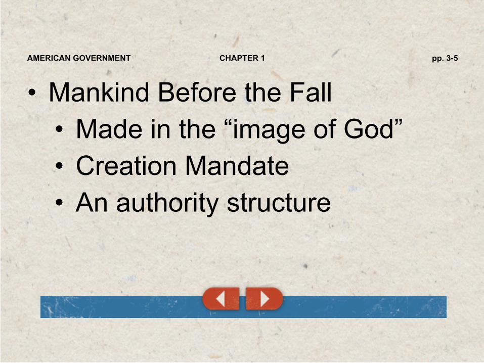
• Mankind Before the Fall • Made in the “image of God” • Creation Mandate • An authority structure
pp. 3-5CHAPTER 1AMERICAN GOVERNMENT

• The Problem of Human Depravity • The severe marring of God’s image in man • Public rule is necessary to protect humans
from themselves. • Death penalty • Anarchy: absence of government • Discussion/Debate
pp. 3-5CHAPTER 1AMERICAN GOVERNMENT

• Human Government on the New Earth • There will be government! • Sin complicates attempts to
achieve just governments in the present
pp. 3-5CHAPTER 1AMERICAN GOVERNMENT
THE OBLIGATIONS OF GOVERNMENT
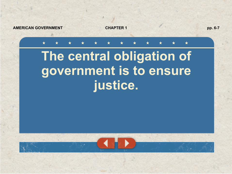
The central obligation of government is to ensure
justice.
pp. 6-7CHAPTER 1AMERICAN GOVERNMENT

• Governments that are just reward righteousness
pp. 6-7CHAPTER 1AMERICAN GOVERNMENT

• Government officials must punish the unrighteous • Government cannot and should
not punish every wrong action
pp. 6-7CHAPTER 1AMERICAN GOVERNMENT

• Governments should protect rights • Protection from foreign
invasions • Justice requires equality before
the law
pp. 6-7CHAPTER 1AMERICAN GOVERNMENT

Being made in God’s image gives humans their true rights.
The moral code established by the state should reflect the character of
God and honor the rights of humans.
pp. 6-7CHAPTER 1AMERICAN GOVERNMENT
THE OBLIGATIONS OF THE GOVERNED
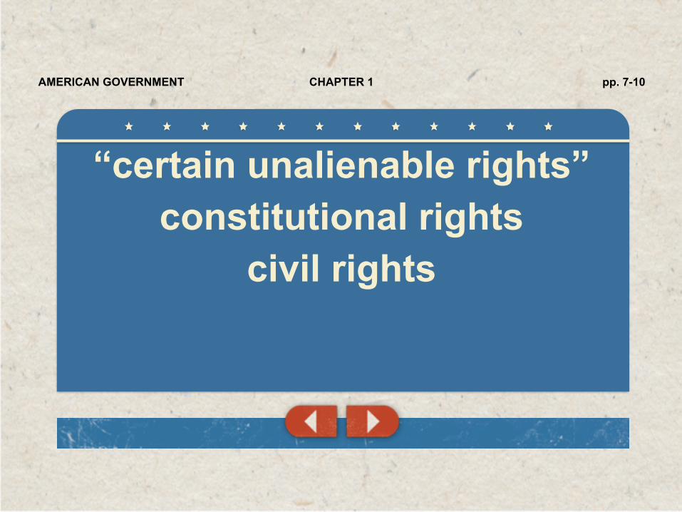
“certain unalienable rights” constitutional rights
civil rights
pp. 7-10CHAPTER 1AMERICAN GOVERNMENT

• Rights imply duties. • What duties do Christians have
toward the governments under which they live?
pp. 7-10CHAPTER 1AMERICAN GOVERNMENT

• Prayer • Participation
• God wants Christians to govern • Various ways to participate • Believers must learn about
government
pp. 7-10CHAPTER 1AMERICAN GOVERNMENT

• Submission • Government must bring order
and justice to society, which requires citizens who respect its authority
• God is still the highest authority
pp. 7-10CHAPTER 1AMERICAN GOVERNMENT

• Witness • Evangelization • Testify of governments’
responsibility before God
pp. 7-10CHAPTER 1AMERICAN GOVERNMENT
love and devotion to one’s country Patriotism
p. 10CHAPTER 1AMERICAN GOVERNMENT