btv severe weather workshop may 2, 2012. 35 minutes – moving ene @ 19kts – 485 km 2
TRANSCRIPT

BTV Severe Weather Workshop
May 2, 2012

35 minutes – Moving ENE @ 19kts – 485 km2

60 min – Moving E @ 48kt – 9744 km2

Begin incorporating Dual-Pol information into warning process Beware:
Dual-Pol data are not a magic bullet Don’t start seeing things in the data that
don’t really exist See great potential for narrowing down
location of hail cores for warnings, SVSs and SPSs
Start using ALY dual-pol data until CXX and TYX are upgraded

Warn based on the meteorology and expected impact Never assume any place is totally
uninhabited, they are just harder to get reports from
Include reports in SVSs Continue working on self adjustments
for 1” hail criteria Did pretty well last year
Only 3 SVRs issued that would have verified solely on ¾” criteria
15 SVRs verified with just 1”+ hail and no wind damage (~20% of warnings)

Be proactive in advertising potential big severe weather days NWSChat, EM notifications, Web Headlines,
Facebook Meet/Exceed GPRA
Tornado detection/warning remains tough Need to really learn from each case Continue to make an effort to storm survey even
slightly suspected tornados Flash Flooding
Keep in mind hydro concerns are watched during severe outbreaks – may take 3 eyes on radar
Lots of events last year, so numbers ended well – but historically we still struggling as an office
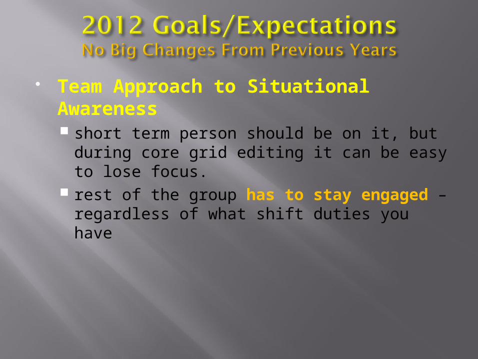
Team Approach to Situational Awareness short term person should be on it, but during
core grid editing it can be easy to lose focus. rest of the group has to stay engaged –
regardless of what shift duties you have

Primarily directed toward the Leads: Be proactive with ensuring adequate staffing Always better to have too many people, than
not enough Phone call load Sudden equipment issues Extra eyes on hydro
Seriously consider Public Information Officer position Facebook, Twitter, NWSChat, EM Briefings
Can leverage use of the cubes Brooke will have more Severe Weather
Operations ESTF critical leading up to an event
During the event don’t lose the forest for the trees Warnings always take precedence over routine
But DON’T over-use this as an excuse

Element Goal (2012) BTV
Tornado POD 0.70 (0.72) 0.00 (1 events)
Tornado FAR 0.72 (0.70) 1.00 (5 warnings)
Tornado LT 12 min (13) --
Flash Flood POD 0.72 (0.72) 0.75 (32 events)
Flash Flood LT 38 min (38) 57 min
All Severe POD 0.84 (0.85) 0.93
All Severe FAR 0.39 (0.39) 0.33
All Severe LT 17 min (18) 23.9 min

Apply information learned today to your situational awareness AND warning decision making processes
Ensure your science-based forecasts & warnings are meet customer needs Type of threat (what) Locations expected to be impacted (where) Timeframe of the threat (when) Please, please keep ALL “Whys” to only
Forecast Discussions

Perform your own post-event assessments in order to learn from your actions Don’t need to be formal
Put together case studies to share with the staff and public Collective knowledge to help us all
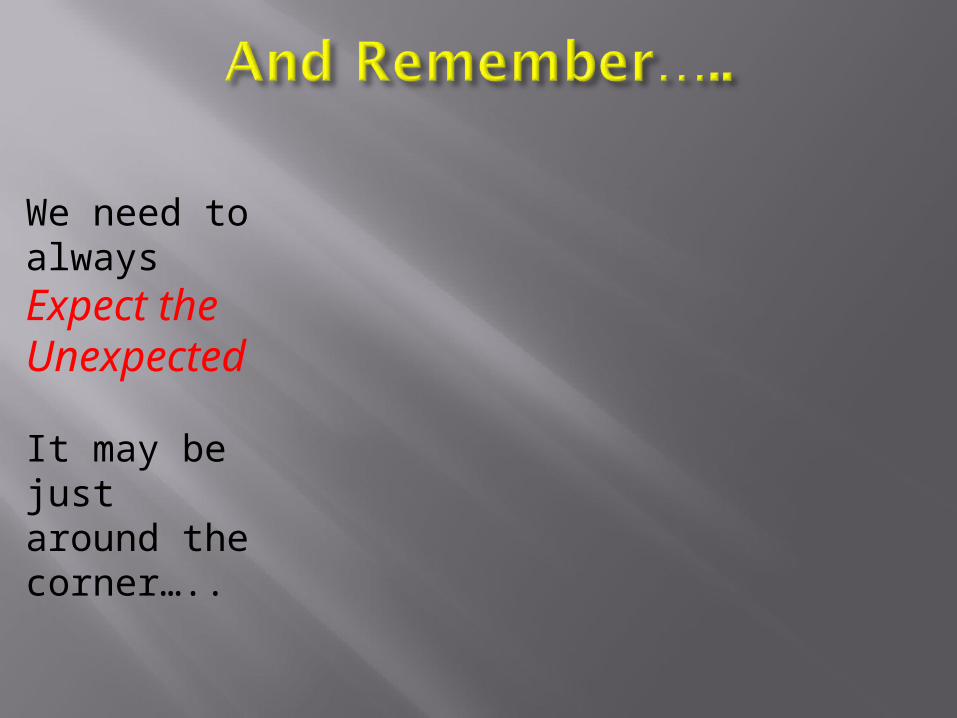
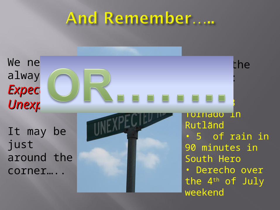
We need to always Expect the Unexpected
It may be just around the corner…..

We need to always Expect the Expect the UnexpectedUnexpected
It may be just around the corner…..

We need to always Expect the Expect the UnexpectedUnexpected
It may be just around the corner…..
…or in the form of:
• An EF-2 Tornado at SUNY Plattsburgh• 5” of rain in 90 minutes in South Hero• Derecho over the 4th of July weekend
We need to always Expect the Expect the UnexpectedUnexpected
It may be just around the corner…..
…or in the form of:
• An EF-3 Tornado in Rutland• 5” of rain in 90 minutes in South Hero• Derecho over the 4th of July weekend

Tuscaloosa
Springfield MA
A small part of some random large squall line