agi north
DESCRIPTION
Open Source geospatial software in archaeologyTRANSCRIPT
Open Source GIS in the UK(with particular reference to archaeology)
Jo CookOA Digitalhttp://[email protected]+44 (0)1524 880212
Introduction●What *is* happening in the UK?●Preconceptions●Not just open source, but open everything●Where next (otherwise known as shameless plug)●

What *is* happening?
UniversitiesHeritage
Where else? Some
business use
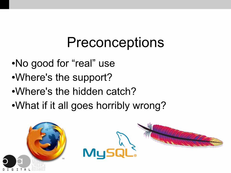
Preconceptions●No good for “real” use●Where's the support?●Where's the hidden catch?●What if it all goes horribly wrong?

Advantages of open source● Supplier independence
● Transparency, controllability and manageability
● Interoperability
● Sustainability
● Also:
● Reliability
● Security
● Performance
1) Ministry of Economic Affairs (Netherlands), 2007, The Netherlands in Open Connection: An action plan for the use of Open Standards and Open Source Software in the public and semi-public sector2) http://www.dwheeler.com/oss_fs_why.html

Archaeology● Preservation by record● Difficult “status”● Not much money● Variable working environment

Highlights of open source GIS

gvSIG

PostgreSQL/PostGIS

Openlayers/Mapfish
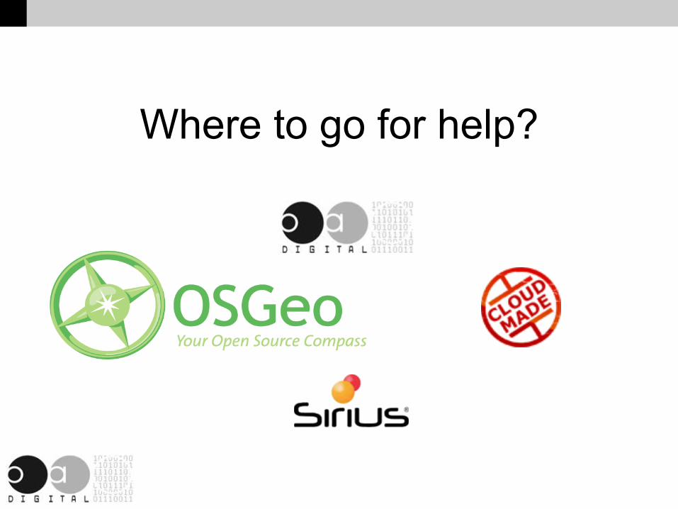
Where to go for help?
And finally...
● peaceOpen Source GIS
Give a chance!

Thank You!
Jo CookOA Digitalhttp://[email protected]+44 (0)1524 880212
oadigital.netwww.osgeo.orgwiki.osgeo.org/wiki/United_Kingdom
This work is licenced under the Creative Commons Attribution-Share Alike 2.0 UK: England & Wales License. To view a copy of this licence, visit http://creativecommons.org/licenses/by-sa/2.0/uk/ or send a letter to Creative Commons, 171 Second Street, Suite 300, San Francisco, California 94105, USA.

1
Open Source GIS in the UK(with particular reference to archaeology)
Jo CookOA Digitalhttp://[email protected]+44 (0)1524 880212
Thanks to everyone for turning up.I work for Oxford Archaeology as an IT research and development officer. You might have some preconceptions about what an archaeology unit is- we don’t always work for universities, we’re not volunteers, and we have some fairly strong opinions about Time Team and Bonekickers. We are the largest commercial archaeological organisation in the UK, possibly in Europe, with 400 staff across 3 UK offices and 1 French. We have the same concerns over data management, efficiency, staff training and basically getting the job done as any other professional company.However, as it is important to us to maintain our records and data in perpetuity, as it’s the often the only record of what we have dug up, we have made the decision to embrace an “open” ethos: Open access to our data, open standards, and open source software where possible.This talk is an entirely personal exploration of the issues that have become clear to me over the last year or so as we try and move towards using entirely open source GIS.

2
Introduction●What *is* happening in the UK?●Preconceptions●Not just open source, but open everything●Where next (otherwise known as shameless plug)●
When I gave a variant of this talk at the AGI conference in September, I asked people to get in touch if they worked with open source gis, or if they wanted to. I got a lot of feedback from companies that support open source, along with people from academia, so I feel that the situation is more positive than I thought at that point. Bringing everyone together is difficult though, and that's something we're working on, within the AGI and within OSGeo (Open Source Geospatial Foundation, in particular the UK local chapter).Some things are still the same though- there are a lot of preconceptions about open source, and whether it's too much of a risk to use in a company environment. I'd like to think it's easier to address some of those issues now.Also, I can also talk a lot more about what we have done in one archaeological unit, in moving towards our open ethos.

3
What *is* happening?
UniversitiesHeritage
Where else? Some
business use
The situation is not entirely dire...We know that some universities are starting to offer courses in open source GIS. Software such as GRASS is often used for high-end GIS analysis.Obviously we know that open source software is beginning to be used in the heritage industry- we need to future-proof our data and make it as open/archivally stable as possible.But where else? I’m sure that there are people who are using open source GIS software, but they are keeping quiet about it.
4
Preconceptions●No good for “real” use●Where's the support?●Where's the hidden catch?●What if it all goes horribly wrong?
Comments that have been made to me by people in my own company or in others (including a national body) include:It’s only good for “home” use- wrong! The examples of apache, mysql and firefox should prove otherwise.You don’t get the same level of support- correct! It's often better, but it's a totally different support paradigm. It is possible to get enterprise-level guaranteed support if you need it.Where's the hidden catch? If you give the software away, where do you make money? From the support, from adding value to the product.What if it all goes horribly wrong? Well what if your proprietary software company goes bankrupt? There have been a number of occasions where governmental organisations have been burnt by contractors walking away with software at the end of a project, leaving them with nothing. At least if it's open source, you have a working programme, and the code to rebuild it should you need to. In the absolute worst-case scenario, you can find another developer to work on it, or choose a different package (particularly in the modular approach).

5
Advantages of open source● Supplier independence
● Transparency, controllability and manageability
● Interoperability
● Sustainability
● Also:
● Reliability
● Security
● Performance
1) Ministry of Economic Affairs (Netherlands), 2007, The Netherlands in Open Connection: An action plan for the use of Open Standards and Open Source Software in the public and semi-public sector2) http://www.dwheeler.com/oss_fs_why.html
Advantages of an open source approach:No vendor lock-in, no format lock-in. No worries about changes to licensing agreements.Transparency, control and manageability.Interoperability and sustainability.More controversially, perhaps- reliability, security and performance. Refs:1) Ministry of Economic Affairs (Netherlands), 2007, The Netherlands in Open Connection: An action plan for the use of Open Standards and Open Source Software in the public and semi-public sector2) http://www.dwheeler.com/oss_fs_why.html

6
Archaeology●Preservation by record●Difficult “status”●Not much money●Variable working environment
Archaeology and open source go very well together for a number of reasons. The whole point of doing archaeology is to make a record of something that was dug up- without the data the artefacts (if there are any) are useless. So our records take the place of the archaeology, and it's our duty to keep them (accessible) in perpetuity. This leads to our open ethos- open access to our data, open standards for our file formats, and open source for our data.
Archaeological units are often also in a funny position regarding status. We are not usually part of universities, we are commercial organisations, but are often educational charities. We fall between two stools for both software and data licensing. Not only that, but archaeology is one of the poorest graduate professions around. We don't have much money in the first place.
So open source software is attractive because it's free in both the speech and beer sense.

7
Highlights of open source GIS
This is a very quick introduction to three open source gis packages that you may or may not be aware of. There are, of course, many others, but these in particular are perhaps closest to providing you with a replacement to your current proprietary option.

8
gvSIG
gvSIG is a desktop GIS package that was developed by the Valencia Regional Council for Infrastructure and Transportation. It has all the analytical tools that you might want for in a standard desktop GIS, along with connectors to web-based services and databases. It has an advantage over other open source desktop gis of reading (closed source) cad files.It has now been fully translated to English (partly by Oxford Archaeology) and has been developed to run on mobile devices such as the openmoko phone (more later).We are now using this as our primary desktop GIS package, although we use Quantum GIS and GRASS when we need to, and keep a few licenses of ArcGIS for things like opening proprietary mxd files.

9
PostgreSQL/PostGIS
PostgreSQL is “the other open source server-based database”. When you add in the postGIS extension, you have an extremely powerful geospatial database.PostgreSQL itself has several really important features that make it an enterprise-level offering. It offers support for transactions, allowing you to roll-back a command, or set of commands if everything goes wrong. It has very powerful security options.PostGIS gives it the ability to store spatial data, as an alternative to file-based data storage. It has many built-in spatial commands, such as buffering and intersections. It is possible to perform complex spatial queries from the command line without even needing to open your map.Most of the leading open source desktop GIS packages provide read-access to postgreSQL databases, some like gvSIG even allow write-access. Even some of the proprietary packages will connect to postgreSQL!We are experimenting with postgresql for backend databases, text-based connections from microsoft access and open office base, and gvsig for a spatial front-end. There are open source data replicators too for synchronising data from laptops out on site.

10
Openlayers/Mapfish
There are many open source web-based front-ends but openlayers and mapfish are possibly my favourites right now. Openlayers is entirely javascript based, so requires no extra software on your web server. Then mapfish is a framework built on top of it for quickly deploying nice looking maps.We are trying to deploy a lot of our standard data as web mapping services to save on disk space, deal with versioning issues and so on. These will be accessible from both desktop and web-based gis packages, with securities set for editing rights and so on.

11
Where to go for help?
So if companies or individuals are interested, where can they go for help? Well the obvious place is OSGeo, and the local chapters (more in a bit), but there are also a number of companies that support open source products or data. These will offer enterprise-level support, should you need it.

12
And finally...
● peaceOpen Source GIS
Give a chance!
13
Thank You!
Jo CookOA Digitalhttp://[email protected]+44 (0)1524 880212
oadigital.netwww.osgeo.orgwiki.osgeo.org/wiki/United_Kingdom
This work is licenced under the Creative Commons Attribution-Share Alike 2.0 UK: England & Wales License. To view a copy of this licence, visit http://creativecommons.org/licenses/by-sa/2.0/uk/ or send a letter to Creative Commons, 171 Second Street, Suite 300, San Francisco, California 94105, USA.
Thanks again for listening, this talk is available online with notes, should you wish to replay it in the comfort of your own office.