3d cadastres best practices, chapter 4: 3d spatial dbms ... · •3d spatial database management...
TRANSCRIPT
3D Cadastres Best Practices, Chapter 4: 3D Spatial DBMS for 3D Cadastres
Karel Janečka, Sudarshan Karki, Peter van Oosterom, Sisi Zlatanova,
Mohsen Kalantari, Tharun Ghawana
Presented at th
e FIG Congress 2018,
May 6-11, 2018 in
Ista
nbul, Turkey

Chapter 4: 3D Spatial DBMS for 3D Cadastres
• 3D Spatial database management systems (DBMS) should enable:
• data models that handle a large variety of 3D objects,
• perform automated data quality checks,
• search and analysis,
• rapid data dissemination,
• 3D rendering and visualization with close linkages to standards.
Chapter 4: 3D Spatial DBMS for 3D Cadastres
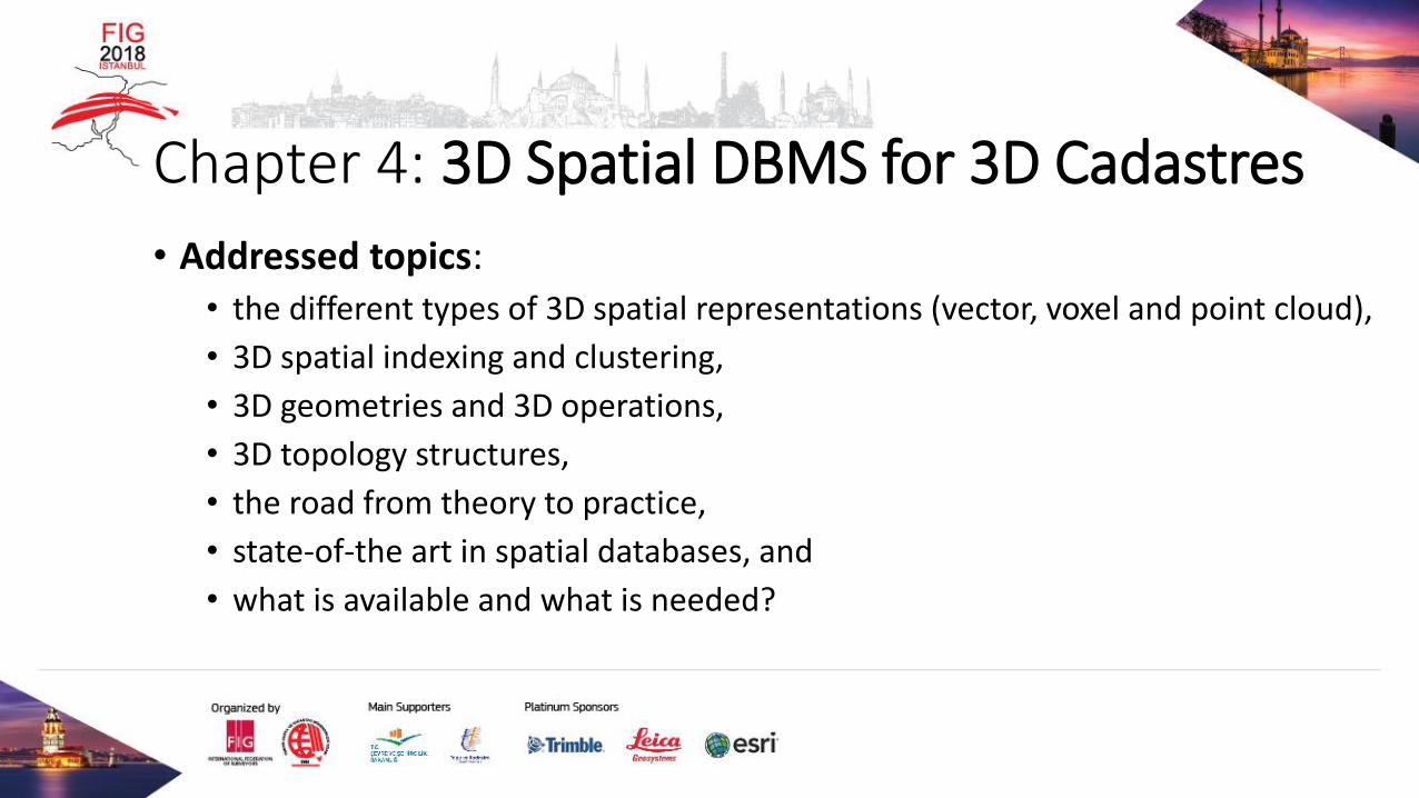
• Addressed topics:• the different types of 3D spatial representations (vector, voxel and point cloud),
• 3D spatial indexing and clustering,
• 3D geometries and 3D operations,
• 3D topology structures,
• the road from theory to practice,
• state-of-the art in spatial databases, and
• what is available and what is needed?
Chapter 4: 3D Spatial DBMS for 3D Cadastres
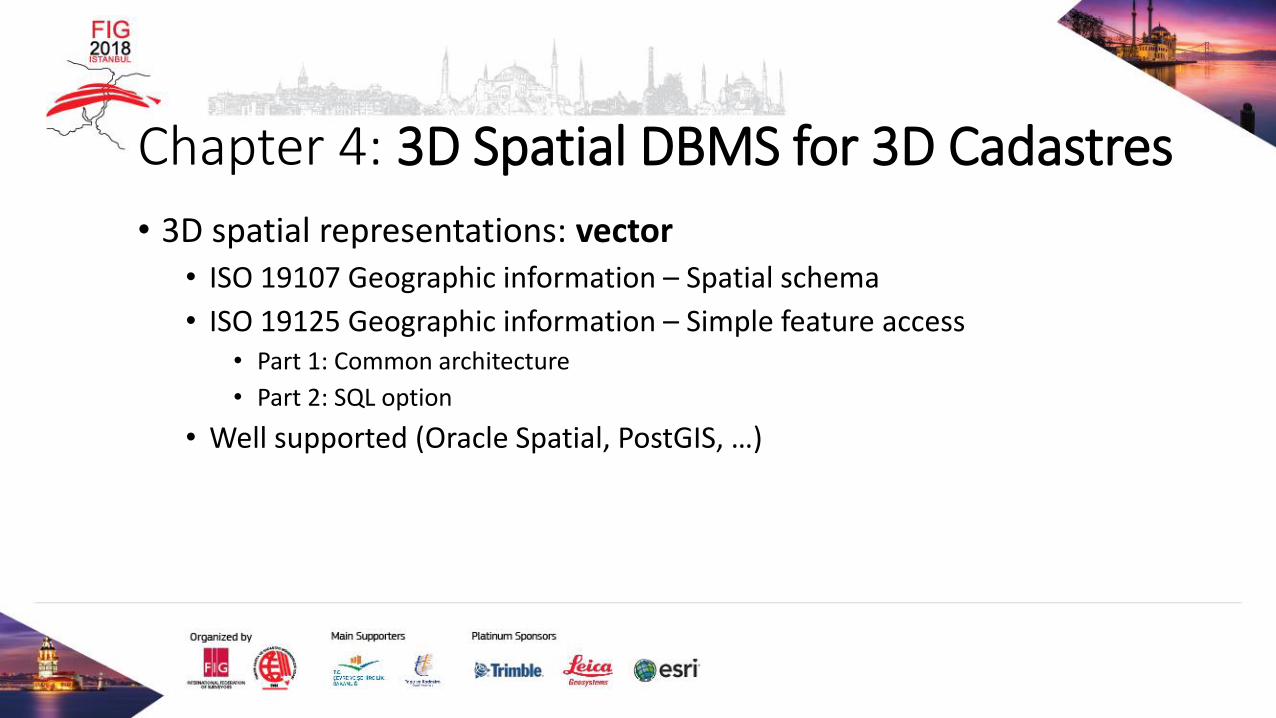
• 3D spatial representations: vector• ISO 19107 Geographic information – Spatial schema
• ISO 19125 Geographic information – Simple feature access • Part 1: Common architecture
• Part 2: SQL option
• Well supported (Oracle Spatial, PostGIS, …)

Chapter 4: 3D Spatial DBMS for 3D Cadastres
• 3D spatial representations: voxel (a volumetric pixel)• Better representation of the various levels of detail (LOD)
• Challenges: Storage a efficient handling
• RasDaMan, MonetDB
• GRASS GIS

Chapter 4: 3D Spatial DBMS for 3D Cadastres
• 3D spatial representations: point clouds• 3D reference and input for the creation of 3D parcels• Native point cloud support: Oracle Spatial, PostGIS

Chapter 4: 3D Spatial DBMS for 3D Cadastres
• The point cloud data type and its operators should cover:• Attributes per point
• Efficient storage with compression techniques
• Data pyramid support
• Temporal aspects
• Operations/functionalities (loading, selections, simple analysis, conversions,
towards reconstruction, complex analysis, LoD use/access, updates)

Chapter 4: 3D Spatial DBMS for 3D Cadastres
• 3D spatial indexing: 3D R-Tree
Chapter 4: 3D Spatial DBMS for 3D Cadastres
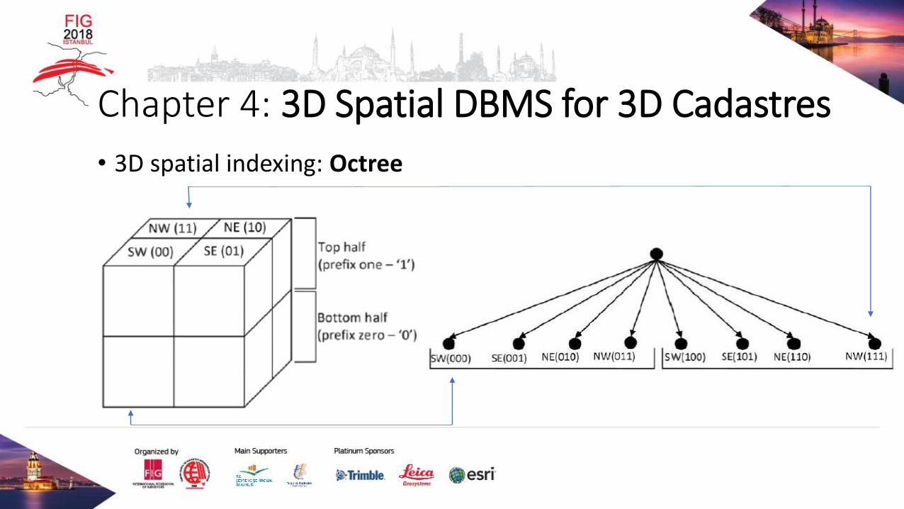
• 3D spatial indexing: Octree

Chapter 4: 3D Spatial DBMS for 3D Cadastres
• 3D operations1. Basic methods on geometric objects
• Dimension ( ); GeometryType ( ); SRID ( ); Is3D ( ); …
2. Methods for testing spatial relations between geometric objects• Intersects (anotherGeometry: Geometry); Touches (anotherGeometry: Geometry); …
3. Methods that support spatial analysis• Intersection (anotherGeometry: Geometry): Geometry; …

Chapter 4: 3D Spatial DBMS for 3D Cadastres
• 3D Topology
• 3D topology is not natively supported in Spatial DBMSs.
• A solution based on Tetrahedral Network (TEN) is promising.
Chapter 4: 3D Spatial DBMS for 3D Cadastres
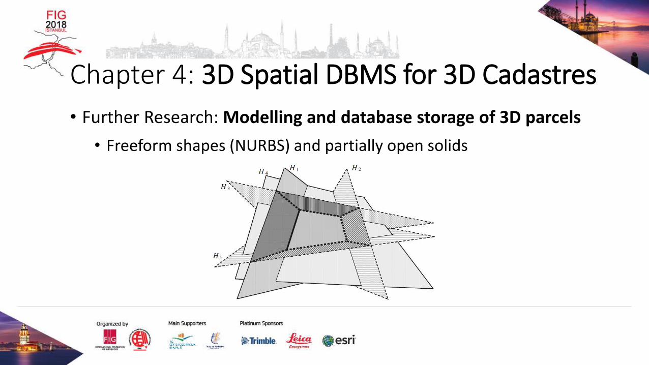
• Further Research: Modelling and database storage of 3D parcels
• Freeform shapes (NURBS) and partially open solids

Chapter 4: 3D Spatial DBMS for 3D Cadastres
• Further Research: Validation of 3D solids
• ISO/OGC x Software vendors definition
• Using semantics information
• The automatic repair of invalid solids
could be considered

Chapter 4: 3D Spatial DBMS for 3D Cadastres
• Further Research: 3D Spatial Constraints
• Spatial constraint: ‘a road cannot cross a building’
• Extend Object Constraint Language (OCL) code generation tools to
enable automatic model translation from OCL (esp. spatial
constraints) to SQL
• Corresponding functions in Spatial DBMS need to be developed.

Chapter 4: 3D Spatial DBMS for 3D Cadastres
• Further Research: 3D Topology
• A full topological model for the 3D cadastre is needed:
1. to utilize the surveying boundaries to generate the 3D cadastral objects;
2. to represent the 3D volumetric objects with high quality, and consistent
topology without intersection; and
3. for rapid topological queries necessary for real-time user interaction and
management
• The data structure should consider ISO 19152 LADM.

Thank you very much for your attention!