2011 june egows modwg status report - météo-france
TRANSCRIPT

®®
©© 2011 Open Geospatial Consortium, Inc.2011 Open Geospatial Consortium, Inc.
June 2011 June 2011 Met Ocean DWG Status ReportMet Ocean DWG Status Report
EGOWS- Météo-FranceMarie-Françoise Voidrot-Martinez
8 June 2011
Sponsored byUnited Nations Platform for Space-based Information for
Disaster Management and Emergency Response - UN-SPIDER

OGC®
Background
• Open Geospatial Consortium (OGC) – international consortium of 421 companies, government agencies
and universities participating in a consensus process to developpublicly available interface standards.
• Met Ocean Domain Working Group :– Created in April 2009
• Memorandum of Understanding between WMO and OGC

OGC®
MetOcean DWG works in 2010
Thank you
time handling => DIM proposals
WMS Models
Modelling working group
Works connected to IPET-MDI
and
INSPIRE Expert TEAM
INSPIRE methodology
Use Cases
Time handling => DIM Proposals
Metadata, search and filtering
� => got stucked on 3 proposals
� Decided to set an I.E.
Styling => Actions towards SLD/SE SWG
Cross section description => Actions towards WMS SWG
Bounding Box, Anti-Meridian, poles and Southern Hemisphere, Projections => Nothing by now
Vertical coordinates => Nothing by now. Is it a real problem?
Asynchronous and dynamic delivery => Support the creation of a PubSub SWG
Integration with other systems, such as WCS, GRIB, OpenDap => observe CF-NetCDF pioneering work
WCS, WFS

®®
MODELLING ACTIVITIES

OGC®
Conceptual modelling overview*
• A forum to incubate new data exchange standards
• MoU = a mecanism for coordination
MO & Hydro DWGs
expert teams of WMO CBS OPAG-ISS
WMO-OGC MoU
*http://external.opengis.org/twiki_public/MetOceanDWG/ConceptualModellingOverview
• Goal : a core conceptual model that•meets the needs of our stakeholder community •maintains compatibility with existing data encodings such as GRIB, BUFR and netCDF • providing a mechanism to map content from one format to another.

OGC®
• Basis = 'ISO/DIS 19156 Geographic Information -Observations and Measurements' forms the basis of the conceptual model for meteorology and oceanography
• INSPIRE methodology

OGC®
Use Case Categories
– UC1: future aviation scenarios derived from NextGen Net Enabled Weather (NNEW) and Single European Sky (SESAR)
– UC2: current aviation operational meteorology services
– UC3: Severe Weather Warning Service
– UC4: multi-model ensemble forecasting to reduce or mitigate impacts of landfalling hurricane
– UC5: Routine Decision Support for Winter Highways Maintenance
– UC6: Climate Impacts
– UC7: Climate assessment based on past data
– UC8: Integration of Weather Data with Efforts to Combat Wildfires
– UC9: sustained environmental science campaign - e.g. International Polar Year
– UC10: Automated Steering of High-resolution Local Weather Forecast Models
– UC11: Riverine Flood Forecasting using Meteorological Ensemble Forecasts
– UC12: Plume Forecasting in Support of Emergency Response

OGC®
Time modelling : mapping Forecasting �O&M
phenomenonTime period covered by the forecast; the time domain of the forecast result
if a numerical simulation starts at 2010-05-06T00:00Z and provides forecasts over the 84 hour period until 2010-05-09T12:00Z,phenomenonTime.begin=2010-05-06T00:00ZphenomenonTime.end=2010-05-09T12:00Z
resultTime time when the result became available,.
In the example above if the simulation completes at 04:30Z,resultTime=2010-05-06T04:30Z
validTime shall describe the time period during which the result is intended to be used.
O&M validTime describes legal or practical usage applied to the observation result. For example, validTime would be used with entities such as TAFs which are (legally) only valid for 12-hrs (or 18-hrs) after publication. It differs from the validity time which is used to describe an instant of interest within the result of the simulation. For forecast modelling it can be optional. It is not specified here
analysisTime parameter parameter.name = "analysisTime"
parameter.name="analysisTime" parameter.value=2010-05-06T00:00Z
assimilationWindow parameterparameter.name = "assimilationWindow"
For a simulation with an assimilation window from 21:00 to 02:30...name=“assimilationWindow”value.begin=“2010-05-05T21:00Z”value.end=“2010-05-06T02:30Z”
Met Ocean needs O&M Example

®®
WMS BEST PRACTICES ACTIVITIES

®®
MetOcean DWG works in 2010
Thank you
time handling => DIM proposals
WMS Models
Modelling working group
Works connected to IPET-MDI
and
INSPIRE Expert TEAM
INSPIRE methodology
Use Cases
Time handling => DIM Proposals
Metadata, search and filtering
� => got stucked on 3 proposals
� Decided to set an I.E.
Styling => Actions towards SLD/SE SWG
Cross section description => Actions towards WMS SWG
Bounding Box, Anti-Meridian, poles and Southern Hemisphere, Projections => Nothing by now
Vertical coordinates => Nothing by now. Is it a real problem?
Asynchronous and dynamic delivery => Support the creation of a PubSub SWG
Integration with other systems, such as WCS, GRIB, OpenDap => observe CF-NetCDF pioneering work
WCS, WFS
OGC®
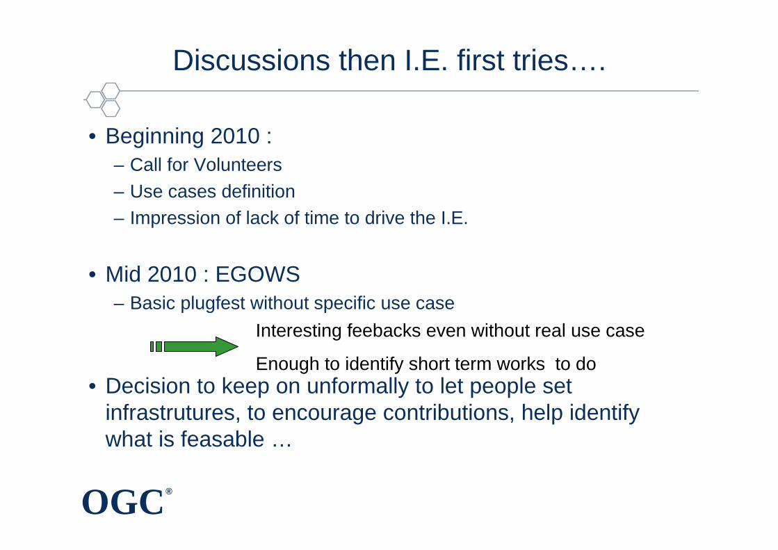
Discussions then I.E. first tries….
• Beginning 2010 : – Call for Volunteers– Use cases definition – Impression of lack of time to drive the I.E.
• Mid 2010 : EGOWS– Basic plugfest without specific use case
• Decision to keep on unformally to let people set infrastrutures, to encourage contributions, help identify what is feasable …
Interesting feebacks even without real use case
Enough to identify short term works to do

OGC®
ThenThen……
1. Identify the servers available for testings – http://external.opengis.org/twiki_public/bin/view/MetOceanDWG/M
etocWMS_Servers
2. Identify General Purpose Clients and Met Ocean Clients to begin the two type of testings identified into the first Use cases :
Copyright © 2011 Open Geospatial Consortium
Met Ocean Servers
Met Ocean Clients
General Purpose clients

®®
Acknowlegments
• Special thanks to the active contributors– Frederic Bachevillier (Meteo-France)– Adrian Custer (Geomatys)– Olivier Gaillard (Meteo-France)– Stephan Siemen (ECMWF)– John Schattel (NOAA/NWS)– Sylvie Thepaut (ECMWF)– …
Thank you to server and clients providers : Carbon Project, DWD, ECMWF, Geomatys, HR Wallingford, IBL, KNMI, Meteo-France, NOAA/NWS, Norwegian Meteorological Institute, Plymouth Marine Laboratory (UK), University of Reading (UK), UCAR,uDig Community, …

OGC®
• Meteo-France
• ECMWF
• ECMWF ecCharts
ClientsServers
• IBL Software Engineering
• University of Reading
• NOAA/NWS Radar_Warnings
• NOAA/NWS Flood_Outlook
• NOAA/NWS Convective_Outlook
• Meteo-France
• ECMWF
• Geomatys
• Ucar GFS
• uDIG 1.1
• Gaia 3.2.1
• KNMI
• University of Reading’s USGS
Met Ocean I.Es Progress Reports Update : 03/02/2011
http://external.opengis.org/twiki_public/bin/view/MetOceanDWG/MetocWMS_WMS_IE_Retex
• DWD climate server

OGC®
On ECMWF Client
EcCharts on ECMWF
University of Reading USGS server on ECMWF

OGC®
On Météo France Client (all requests in cylindrical projection)
UCAR on MF
UCAR on MF
NWS on MF
KNMI on MF
IBL on MF
IBL on MFIBL on MF
ECMWFS on MF
ECMWF on MF
DWD on MF
UCAR on MF

OGC®
Feedbacks (1)Feedbacks (1)
• Mostly basic connection testings• No main problems • Response time irregular and sometimes Timeouts but no
investigation of their origin• Each server presents different data (=> impact on the
scenario for future I.Es)• Name of the layers are not always explicit (=> Global
Recommandation)• Different styles for the same data on different servers• Default style not explicit

OGC®
Feedbacks (2)Feedbacks (2)
• A wish to have a reactive gauge– Have to test the GetFeatureInfo – Get the correspondance between Numerical value and physical
value somehow
Try by defining a formula into the « Abstract » field :
NOT STANDARD AT ALL!

OGC®
A need of deeper testings
• Are you sure that
- To have got the right projection ?- To have got the right time ?- …..
Are you sure that “What You Request Is What You Get”
(WYRIWYG)?

OGC®
© 2010 Open Geospatial Consortium
The validation architecture
ECMWF
IHM layer
Graphic layer
Fat Client
Data layer
Data Server
RMDCN
Internet
OGC Webservices
IHM LayerBrowser
Graphic layer
Data layer
Server

OGC®
© 2010 Open Geospatial Consortium
Comparison of location/values
Meteo-France Fat client ECMWF WMS

OGC®
© 2010 Open Geospatial Consortium
Over several fields
Meteo-France Fat client ECMWF WMS

OGC®
© 2010 Open Geospatial Consortium
The validation architecture
ECMWF
IHM layer
Graphic layer
Fat Client
Data layer
Data Server
RMDCN
Internet
OGC Webservices
IHM LayerClient
Graphic layer
Data layer
Server

OGC®
Second level of feeback
• The difference of styles can be – A plus for the comparison as the user can identify at a glance the
origin of the data– A minus for further analysis because the user might feel more
confortable having the same colomaps
⇒a need to define shared basic styles for the basic parameters? Somehow made by WMO

OGC®
Next Steps
• These testings cannot be a priority for our institutes• The use case of the I.E. has to be « based on the offer »• We have to define a validation procedure for the requests
– For instance the Ucar server : http://motherlode.ucar.edu/thredds/idd/models.html provides WMS and clients to visualise them that can be used as the reference for the projection and data request
• Make further testings with different projections• Define some metrics? • …

OGC®
Actions
• Keep on testing • More combinations : more servers, more clients
• More issues : animations, getFeatureInfo…• Deeper testings : more projections, …
• Define new use cases « offer oriented »
• Define basic styles for basic parameters
• Interoperability testings tomorrow

OGC®
Roadmap
• Not ambitious if not more participants• No time constraint but our interest is to do it ASAP
A first draft or Met Ocean WMS Best Practice in September
- Based on WMS1.3
- Following the WMS spec doc structure

OGC®
Roadmap
• Just feed the twiki with you return of experience here : http://external.opengis.org/twiki_public/bin/view/MetOceanDWG/MetocWMS_WMS_IE_Retex
• Send any type of contributions for the Best Profile doc to Meteo.DWG email list
Everybody is :