1 low level wind shear (llws) by bob jackson, mic seattle cwsu
TRANSCRIPT

1
Low Level Wind Shear (LLWS)ByBob Jackson, MICSeattle CWSU

2
Introduction - 1
• That which we don’t understandWe explain to each other

3
Introduction - 2
• Low Level Wind Shear (WS) occurs frequently
• Can be overlooked when composing a TAF

4
Goal of Presentation
• Refresher• Maintain/Heighten awareness of
WS• Encourage application in aviation
forecasting

5
Some Questions Associated with WS
• What is WS?• When should WS be the TAF?• When should WS NOT be The TAF?• When should a WS forecast be
withdrawn?

6
Define WS
• A change in horizontal (or vertical) wind speed and/or direction with distance (or height). (Badner)
• A Vector Difference composed of wind speed/direction (NWS)
7
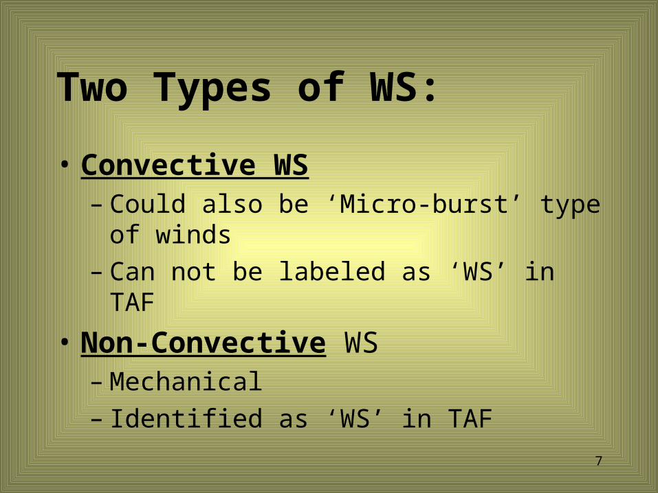
Two Types of WS:
• Convective WS– Could also be ‘Micro-burst’ type of
winds– Can not be labeled as ‘WS’ in TAF
• Non-Convective WS– Mechanical– Identified as ‘WS’ in TAF

8
Define WS
• WS in this presentation refers to “Non-Convective” Low Level Wind Shear.
9
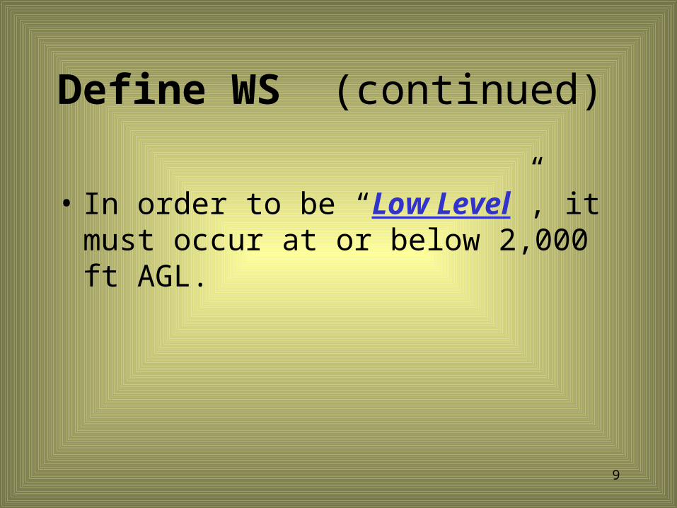
Define WS (continued)
• In order to be “Low Level”, it must occur at or below 2,000 ft AGL.

10
When is it Low Level ‘Turbc’ and not WS?
• When strong, low-level winds mix down to the surface,
• The difference between surface and low-level winds minimal,
• Gives rise to Low Level Turbulence, not WS.

11
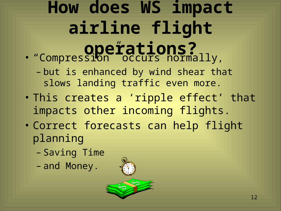
How does WS impact airline flight operations?
• “Compression” is a term used to describe what happens when the aircraft in front begins to slow down.
• As it slows, following aircraft begin to catch up.– Much like cars approaching a stop sign.
12
How does WS impact airline flight operations?
• “Compression” occurs normally,– but is enhanced by wind shear that slows
landing traffic even more.
• This creates a ‘ripple effect’ that impacts other incoming flights.
• Correct forecasts can help flight planning – Saving Time– and Money.

13
What are some SPECIFIC criteria for WS?
• “Strong” Pressure Gradients• Expect WS If :• Pressure gradients support winds
of 40 kts or more, • And surface winds are ‘light’

14
What are some SPECIFIC criteria for WS?
• Winds of 40 kts or more within 2,000 ft AGL, will give turbulence any time, but
• if surface wind is light, then expect WS.• Need speed/direction differences to
get WS
• Otherwise, it is low level turbulence.
15
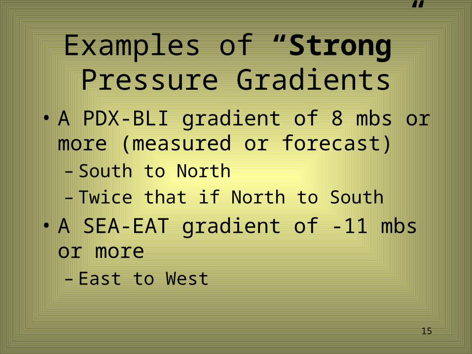
Examples of “Strong” Pressure Gradients
• A PDX-BLI gradient of 8 mbs or more (measured or forecast) – South to North– Twice that if North to South
• A SEA-EAT gradient of -11 mbs or more– East to West
16
NWP Products
• Surface Progs– ‘Strong’ gradients are often ‘under
forecast’ in prog runs.

17
NWP Products
• Numerical Guidance• Products such as FRHTxx and
FRHxx give– Surface pressure forecasts– Boundary layer wind forecasts– In need of Broad interpretation

18
Observations - These are NOT Forecasts!
• ROABs• PIREPs • ACARs Soundings• Surface analysis
– Not always timely
• METARs• VAD profile

19
What are some SPECIFIC criteria for WS?
• WSR-88D VAD profile:• Light winds in METAR and 40 kts
or more at VAD 2,000 ft wind.• Winds differences of 60 degrees or
more between METAR and VAD 2,000 ft wind.

20
WSR-88D VAD Wind Profiles
METAR 141756Z …. 19009KT…
1,000 ft
2,000 ft

21
WSR-88D VAD Wind Profiles
• Lower level winds are affected by flow through the Strait of Juan De Fuca so don’t always represent conditions over SEA.
• East winds over the airport do not always displayed in VAD.
Generally good for SEA, however,
22
WSR-88D VAD Wind Profiles
• Often usable for ATX, but not all sites.– (MSX’s WSR-88D is on mountain and
VAD winds begin at 9,000, so not usable for low level winds.)
Generally good for SEA, however,

23
ACARS Soundings
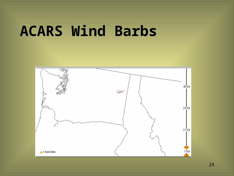
24
ACARS Wind Barbs

25
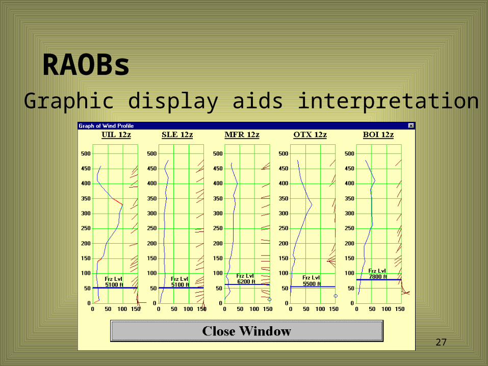
RAOBs
• Not always representative of desired airport
• Considered as a “Snap Shot” of conditions
• Not always timely

26
RAOBs
• Rapid interpretation is DifficultZCZC SEASGLUILTTAA00 KUIL 06120072797 TTBB 56120 72797 00016 07205 11000 06403 22862 00704 33859 00005 44853 01694 55843 05095 66837 05295 77767 03495 88729 00064 99610 11556 11500 20756 22381 35150 33338 42356 44315 46363 55277 51758 66226 59359 77186 58974 88165 54376 99100 58775 31313 05102 81117=
PPBB 56120 72797 90012 17004 18523 19023 90346 19523 19521 24513 90789 23514 22515 22517 91234 24529 25536 25537 9167/ 23538 23540 92015 25539 26536 24544 926// 24547 93057 26043 28053 28535 938// 27548 9503/ 31543 32045=ƒNNNN
27
RAOBs Graphic display aids interpretation

28
RAOBs Organized data also aids interpretation
29
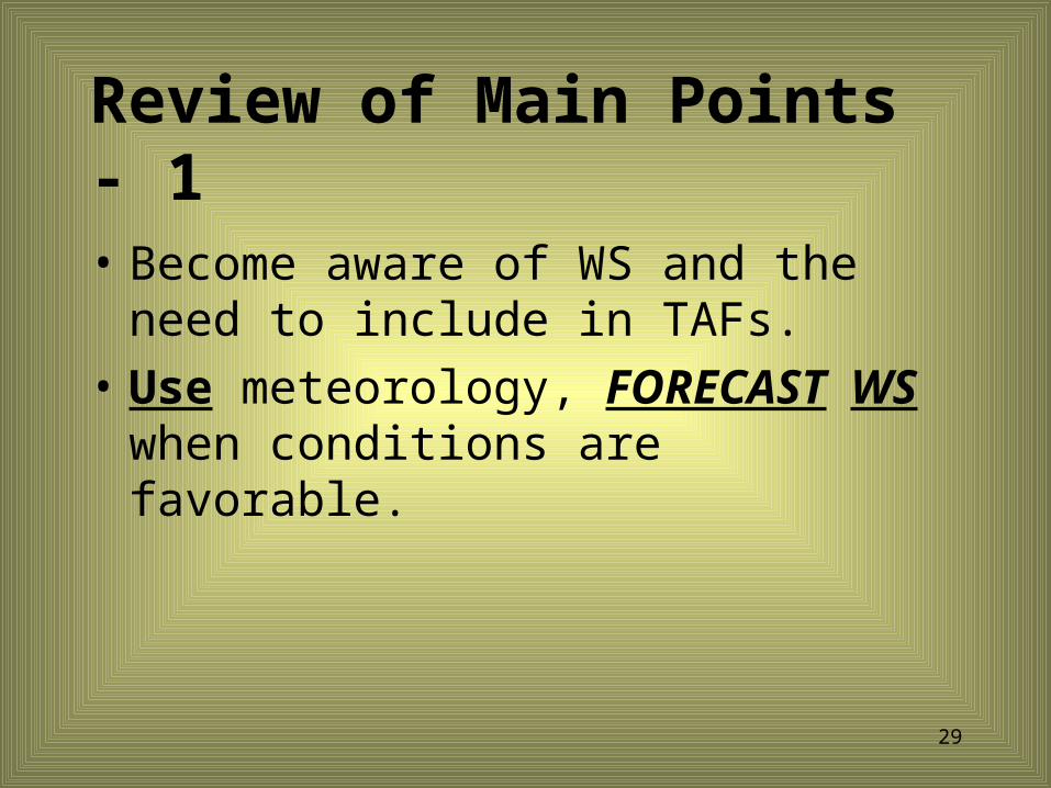
Review of Main Points - 1• Become aware of WS and the need
to include in TAFs.• Use meteorology, FORECAST WS
when conditions are favorable.
30
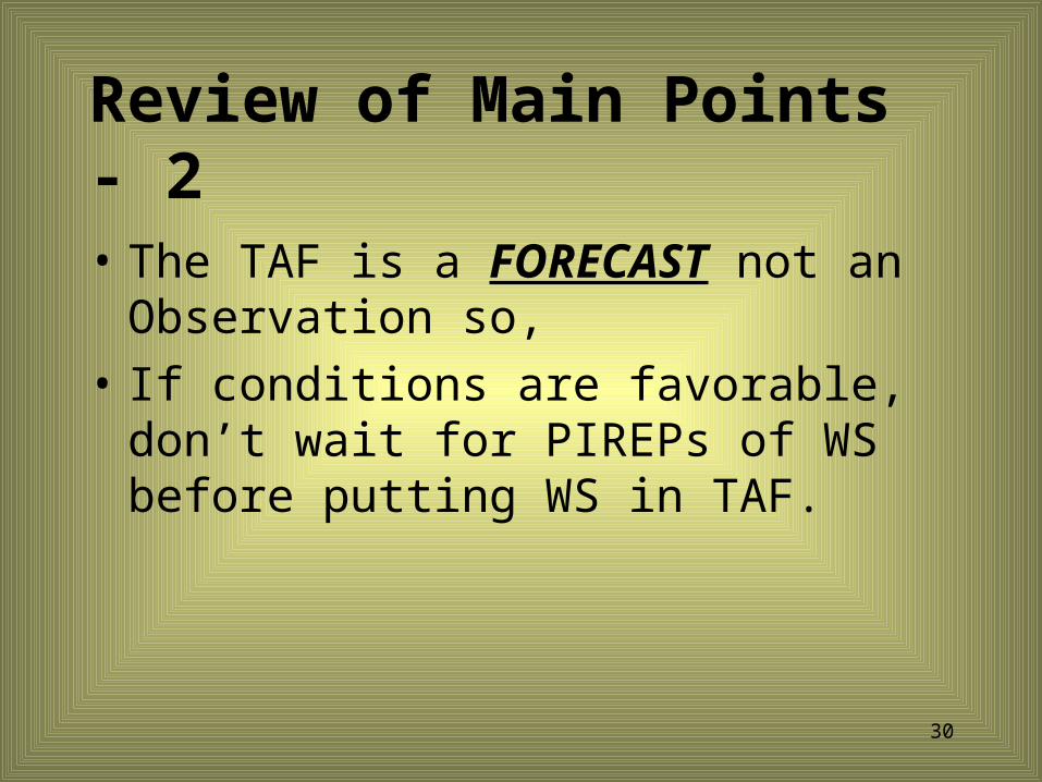
Review of Main Points - 2• The TAF is a FORECAST not an
Observation so,• If conditions are favorable, don’t
wait for PIREPs of WS before putting WS in TAF.
31
Quiz Time ! ! ! !
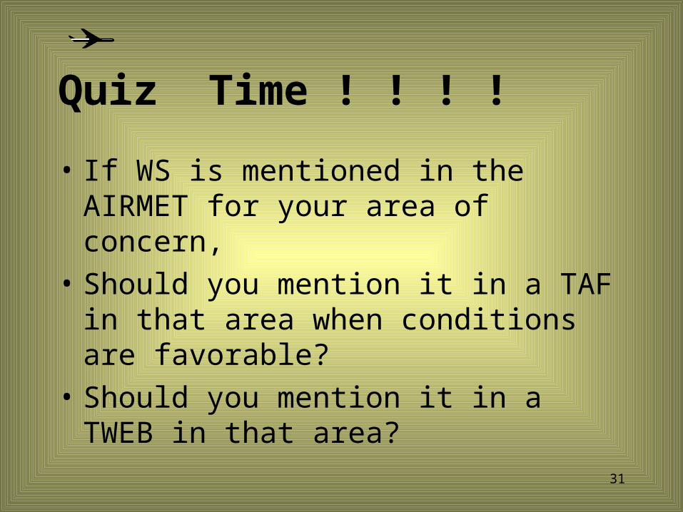
• If WS is mentioned in the AIRMET for your area of concern,
• Should you mention it in a TAF in that area when conditions are favorable?
• Should you mention it in a TWEB in that area?

32
Quiz Time ! ! ! !
• If you have WS in a TAF, and need to amend for a different reason,
• What criteria would you use to drop WS from the amended TAF?

33
Quiz Time ! ! ! !
• How is WS encoded in the TAF?• WShwshwshws/dddffKT• WS = Non-Convective Wind Shear• hwshwshws = Ht of shear in 100’s of
ft• ddd = Direction• ff = Speed
34
Quiz Time ! ! ! !
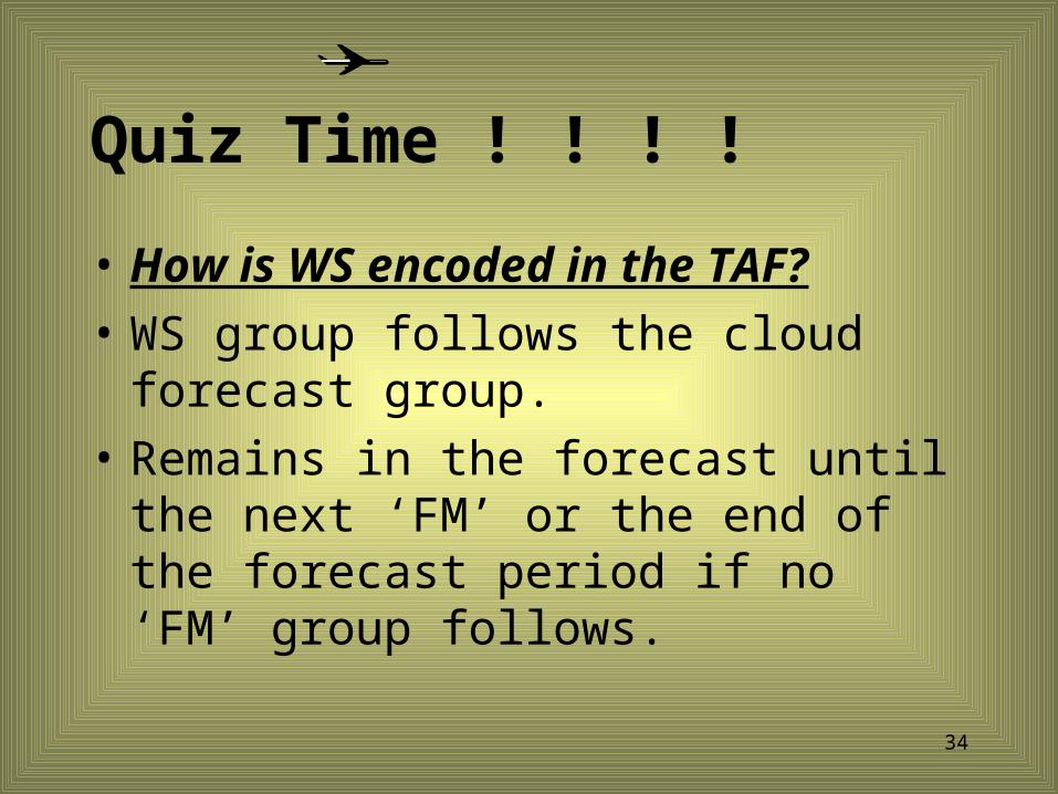
• How is WS encoded in the TAF?• WS group follows the cloud
forecast group.• Remains in the forecast until the
next ‘FM’ or the end of the forecast period if no ‘FM’ group follows.

35
Quiz Time ! ! ! !
• In which groups can WS be included?– The initial forecast group and – The ‘FM’ group

36
Quiz Time ! ! ! !
• In which groups can WS NOT be included?– BECMG– TEMPO– PROB

37
Quiz Time ! ! ! !
• How is CONVECTIVE WS encoded in the TAF?
• You tell me…
38
Summary
• WS has large impact on aviation– Affects air traffic safety, flow, and
comfort– Occurs more often than is forecast
• Forecasters – Must become more aware of WS– Should not be reluctant to include WS
in TAFs when conditions warrant.

39
Bibliography
• Julius Bander, “Low-Level Wind Shear: a Critical Review”, NOAA Tech. Memo. NWS FCST-23, Apr 1979, reprinted Feb 1989
• NWS “Weather Service Operations Manual” , (WSOM) Chapter D-31, Issuance No. 97-5, June 6, 1997,
40
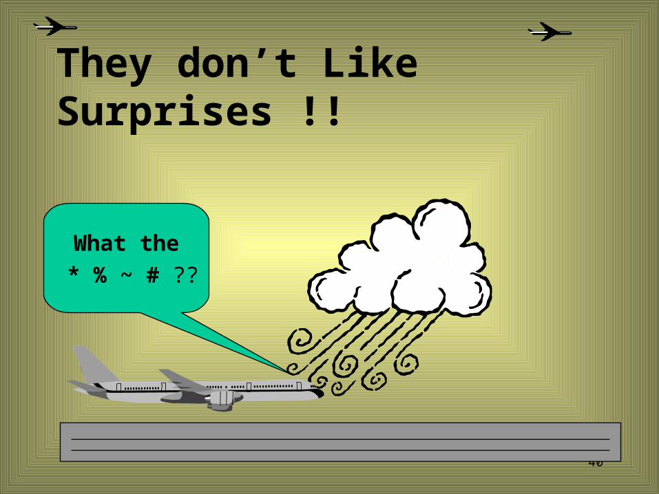
They don’t Like Surprises !!
What the * % ~ # ??

41
Thank You
TheEnd