1 coordinator’s report vgin advisory board dan widner coordinator, virginia geographic information...
TRANSCRIPT
1
Coordinator’s Report VGIN Advisory Board
Dan WidnerCoordinator, Virginia Geographic Information Network
January 7, 2009
www.vita.virginia.gov 1
2
2009-2012 VBMP Orthophotography Contract
3
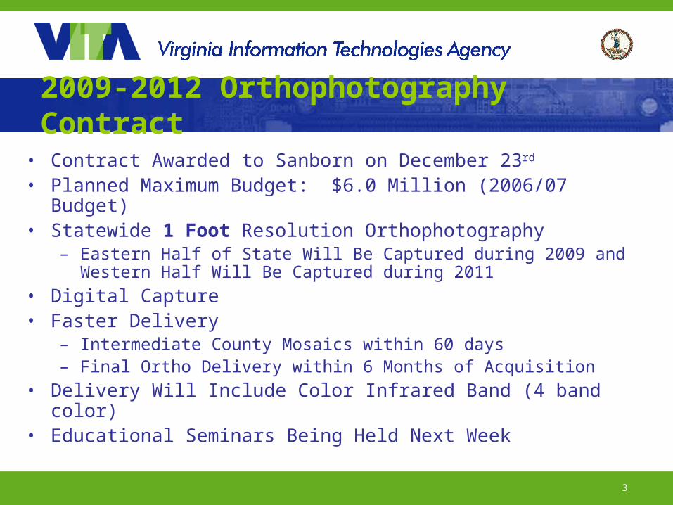
2009-2012 Orthophotography Contract
• Contract Awarded to Sanborn on December 23rd
• Planned Maximum Budget: $6.0 Million (2006/07 Budget)• Statewide 1 Foot Resolution Orthophotography
– Eastern Half of State Will Be Captured during 2009 and Western Half Will Be Captured during 2011
• Digital Capture • Faster Delivery
– Intermediate County Mosaics within 60 days– Final Ortho Delivery within 6 Months of Acquisition
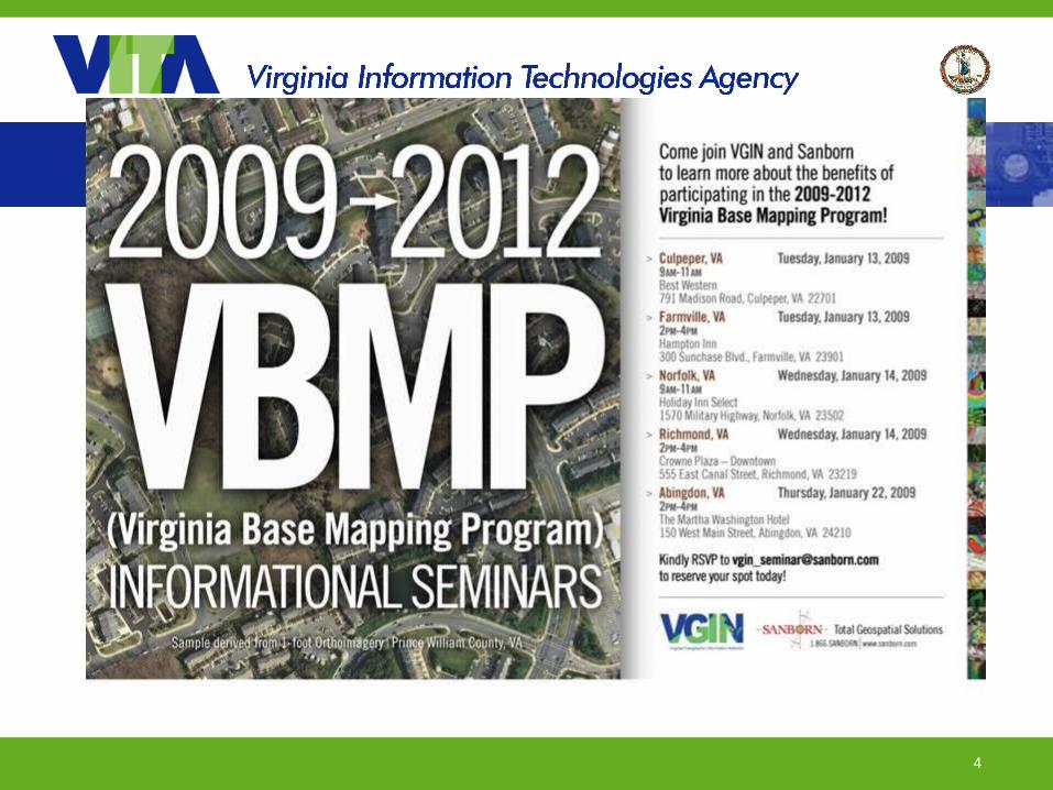
• Delivery Will Include Color Infrared Band (4 band color)• Educational Seminars Being Held Next Week
4
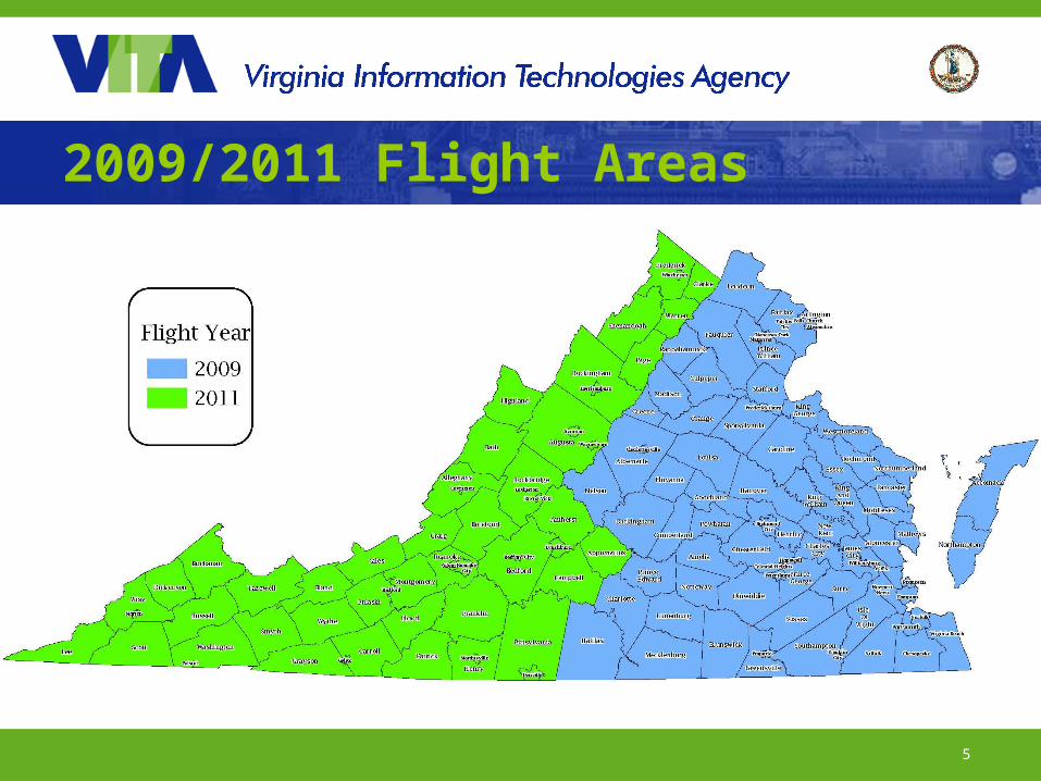
5
2009/2011 Flight Areas
6
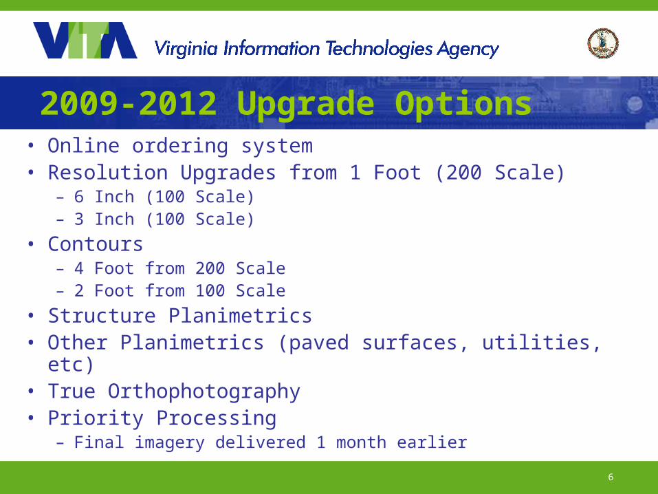
2009-2012 Upgrade Options• Online ordering system • Resolution Upgrades from 1 Foot (200 Scale)
– 6 Inch (100 Scale)– 3 Inch (100 Scale)
• Contours– 4 Foot from 200 Scale– 2 Foot from 100 Scale
• Structure Planimetrics• Other Planimetrics (paved surfaces, utilities, etc)• True Orthophotography• Priority Processing
– Final imagery delivered 1 month earlier
7
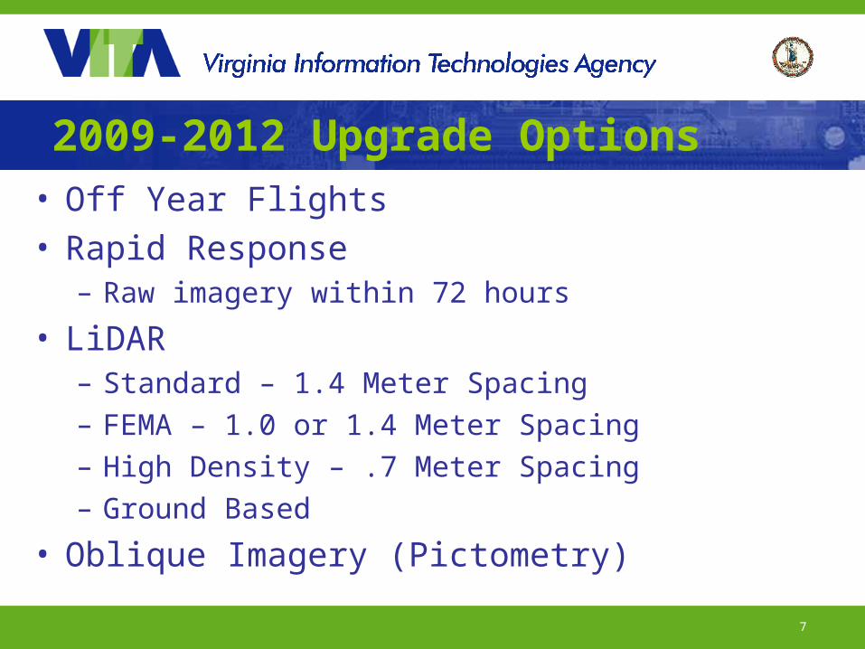
2009-2012 Upgrade Options• Off Year Flights• Rapid Response
– Raw imagery within 72 hours
• LiDAR– Standard – 1.4 Meter Spacing– FEMA – 1.0 or 1.4 Meter Spacing– High Density – .7 Meter Spacing– Ground Based
• Oblique Imagery (Pictometry)
8
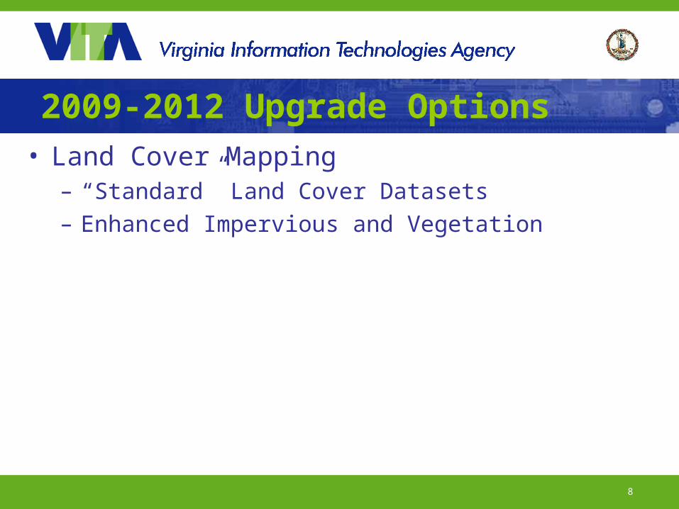
2009-2012 Upgrade Options• Land Cover Mapping
– “Standard” Land Cover Datasets– Enhanced Impervious and Vegetation
9
Commonwealth of Virginia Five Year GIS Strategic Plan
Development
10
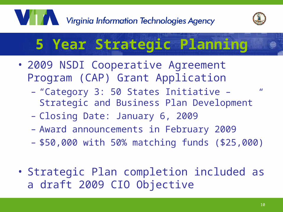
5 Year Strategic Planning• 2009 NSDI Cooperative Agreement
Program (CAP) Grant Application– “Category 3: 50 States Initiative – Strategic
and Business Plan Development”– Closing Date: January 6, 2009– Award announcements in February 2009– $50,000 with 50% matching funds ($25,000)
• Strategic Plan completion included as a draft 2009 CIO Objective
11
5 Year Strategic Planning
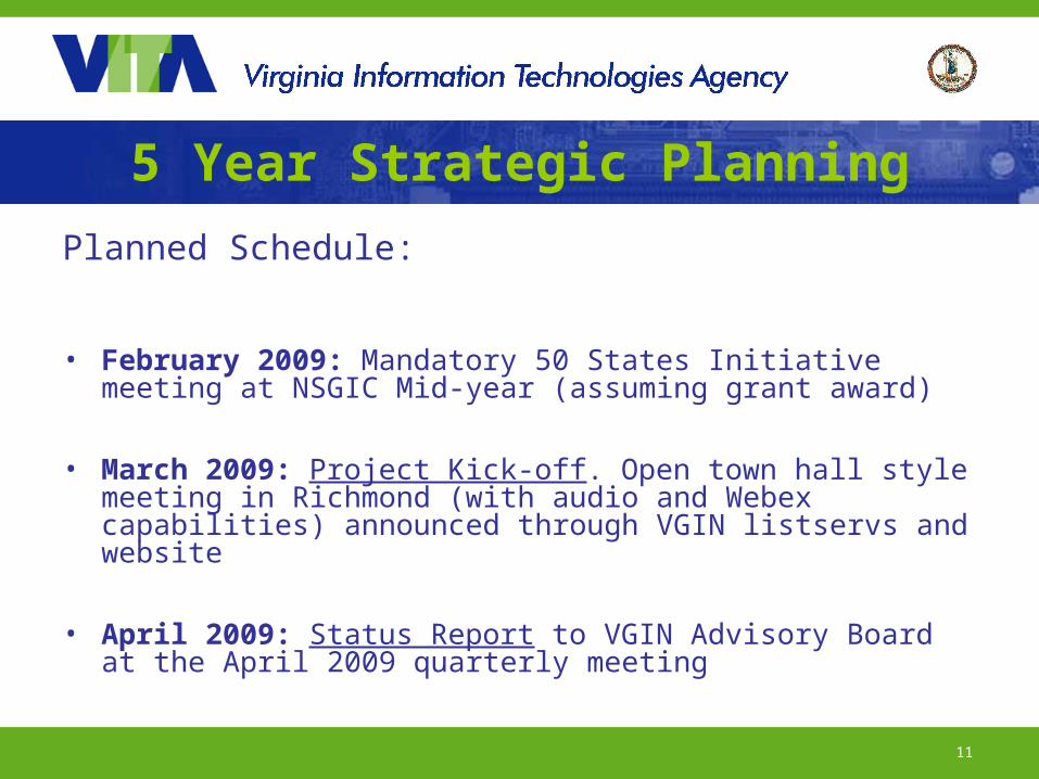
Planned Schedule:
• February 2009: Mandatory 50 States Initiative meeting at NSGIC Mid-year (assuming grant award)
• March 2009: Project Kick-off. Open town hall style meeting in Richmond (with audio and Webex capabilities) announced through VGIN listservs and website
• April 2009: Status Report to VGIN Advisory Board at the April 2009 quarterly meeting

12
5 Year Strategic Planning
Planned Schedule Continued:
• April – May 2009: Stakeholder Interviews. Series of interviews with key geospatial stakeholders representing the spectrum of geospatial practitioners and users in Virginia. Includes local, state and federal government, planning district commissions, non-profit, academia and private sector.
• April – May 2009: Concurrently, the online survey will be created and released
• May – June 2009: Results compilation and synthesis DELIVERABLE: Draft Strategic Plan
13
5 Year Strategic PlanningPlanned Schedule Continued:
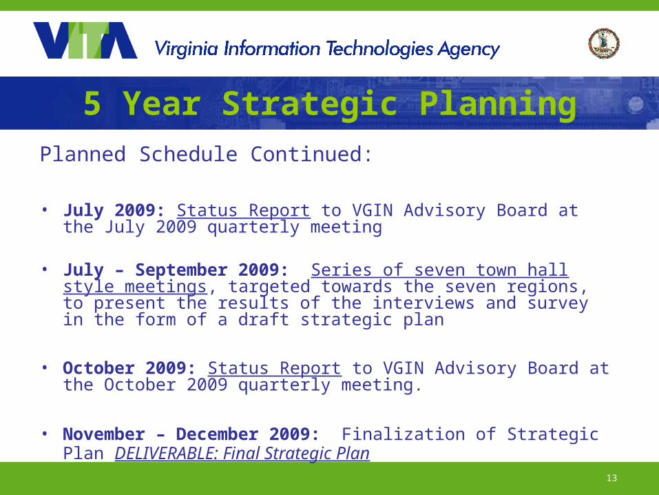
• July 2009: Status Report to VGIN Advisory Board at the July 2009 quarterly meeting
• July – September 2009: Series of seven town hall style meetings, targeted towards the seven regions, to present the results of the interviews and survey in the form of a draft strategic plan
• October 2009: Status Report to VGIN Advisory Board at the October 2009 quarterly meeting.
• November – December 2009: Finalization of Strategic Plan DELIVERABLE: Final Strategic Plan
14
Conclusion of Coordinator’s Report