your data any place, any time delivering location intelligence with spatial data
Post on 19-Dec-2015
221 views
TRANSCRIPT
Your Data Any Place, Any Time
Delivering Location Intelligence with Spatial Data

The Business Opportunity
Increased user-sophistication• More data
sources• More kinds of
data• Integrated
systems and mash-ups
Ubiquitous geographical technology• GPS• Online mapping
services• Availability of
geographical data
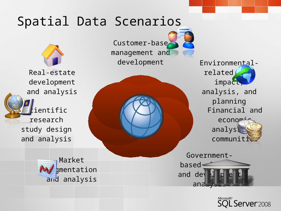
Spatial Data Scenarios
Customer-base management and
development
Environmental-related data impact,
analysis, and planning
Financial and economic analysis in
communities
Government-based planning and
development analysisMarket segmentation
and analysis
Scientific research study design and
analysis
Real-estate development and
analysis
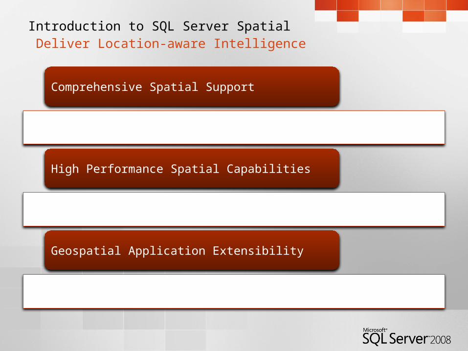
Introduction to SQL Server Spatial Deliver Location-aware Intelligence
Comprehensive Spatial Support
High Performance Spatial Capabilities
Geospatial Application Extensibility

Comprehensive Spatial SupportSpatial Data Types
geography data type• Geodetic (“Round Earth”)
geospatial model• Define points, lines, and areas
with longitude and latitude• Account for planetary curvature
and obtain accurate “great circle” distances
geometry data type• Planar (“Flat Earth”) geospatial
model• Define points, lines, and areas
with coordinates• Use for localized areas or non-
projected surfaces such as interior spaces
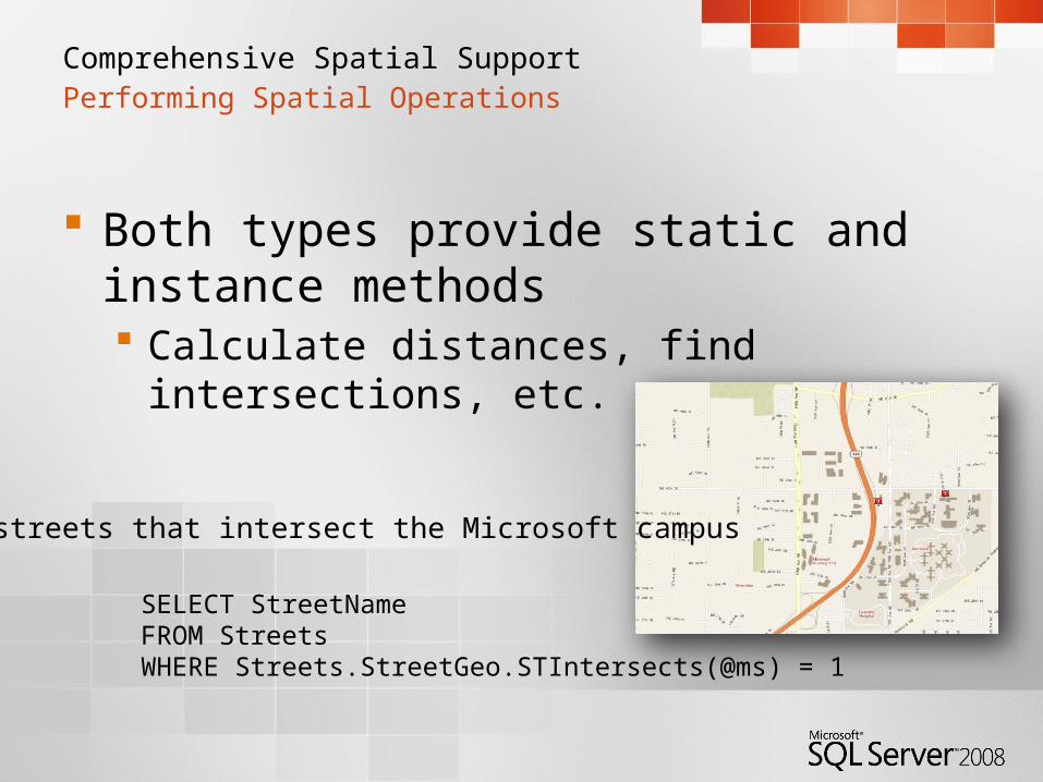
Comprehensive Spatial Support Performing Spatial Operations
Both types provide static and instance methods Calculate distances, find intersections,
etc.
SELECT StreetNameFROM StreetsWHERE Streets.StreetGeo.STIntersects(@ms) = 1
Find streets that intersect the Microsoft campus
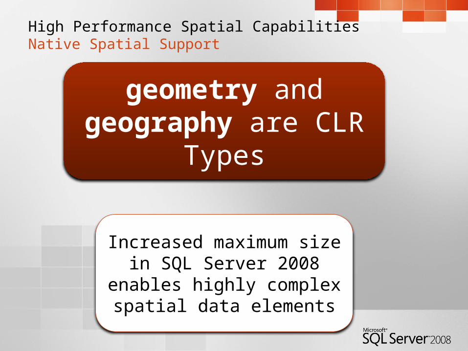
High Performance Spatial CapabilitiesNative Spatial Support
geometry and geography are CLR Types
Increased maximum size in SQL Server 2008 enables
highly complex spatial data elements
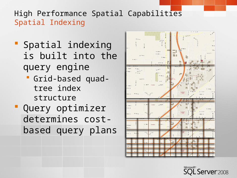
High Performance Spatial CapabilitiesSpatial Indexing
Spatial indexing is built into the query engine Grid-based quad-tree
index structure Query optimizer
determines cost-based query plans
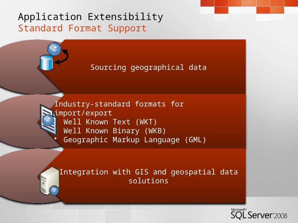
Application ExtensibilityStandard Format Support
Sourcing geographical data
Industry-standard formats for import/export• Well Known Text (WKT)• Well Known Binary (WKB)• Geographic Markup Language (GML)
Integration with GIS and geospatial data solutions
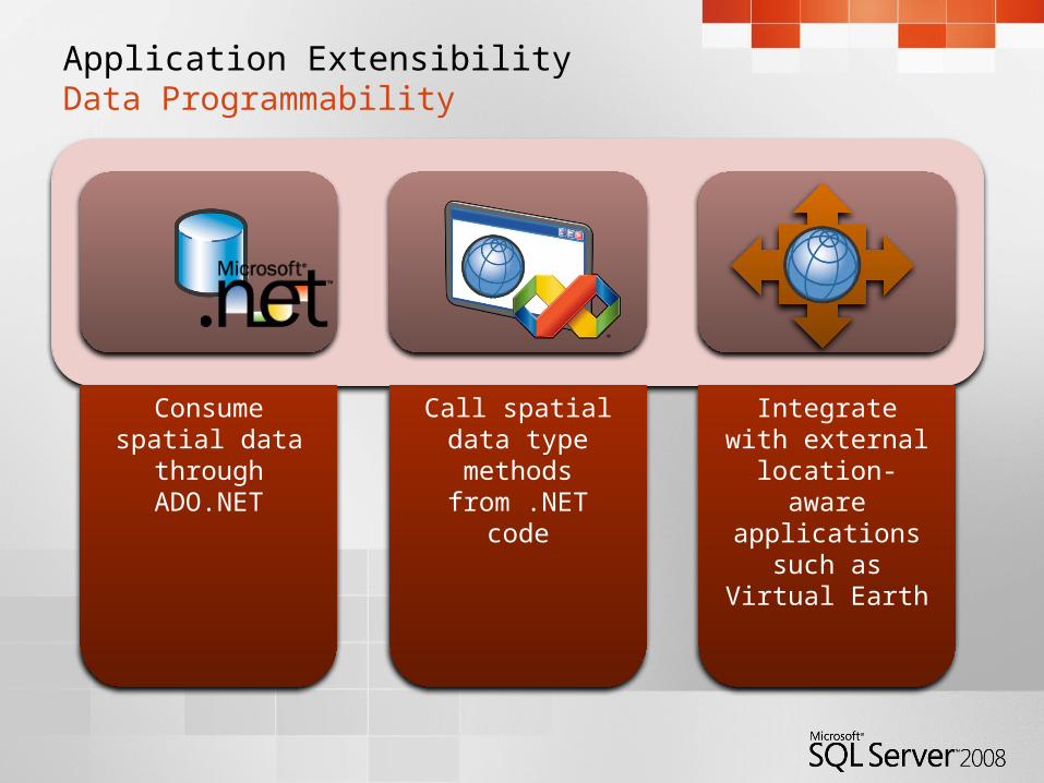
Application ExtensibilityData Programmability
Consume spatial data through
ADO.NET
Call spatial data type methods
from .NET code
Integrate with external location-
aware applications such as Virtual
Earth
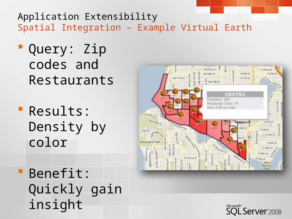
Application ExtensibilitySpatial Integration – Example Virtual Earth
Query: Zip codes and Restaurants
Results:
Density by color
Benefit: Quickly gain insight
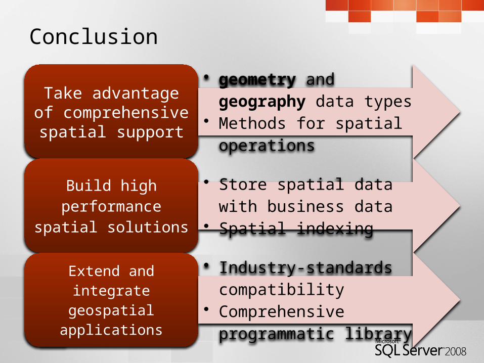
Conclusion
Take advantage of comprehensive
spatial support
• geometry and geography data types
• Methods for spatial operations
Build high performance
spatial solutions
• Store spatial data with business data
• Spatial indexing
Extend and integrate
geospatial applications
• Industry-standards compatibility• Comprehensive programmatic
library

© 2004 Microsoft Corporation. All rights reserved.This presentation is for informational purposes only. Microsoft makes no warranties, express or implied, in this summary.