welcome to introduction to geographic information systems
TRANSCRIPT
WELCOMEto
Introduction to Geographic Information Systems
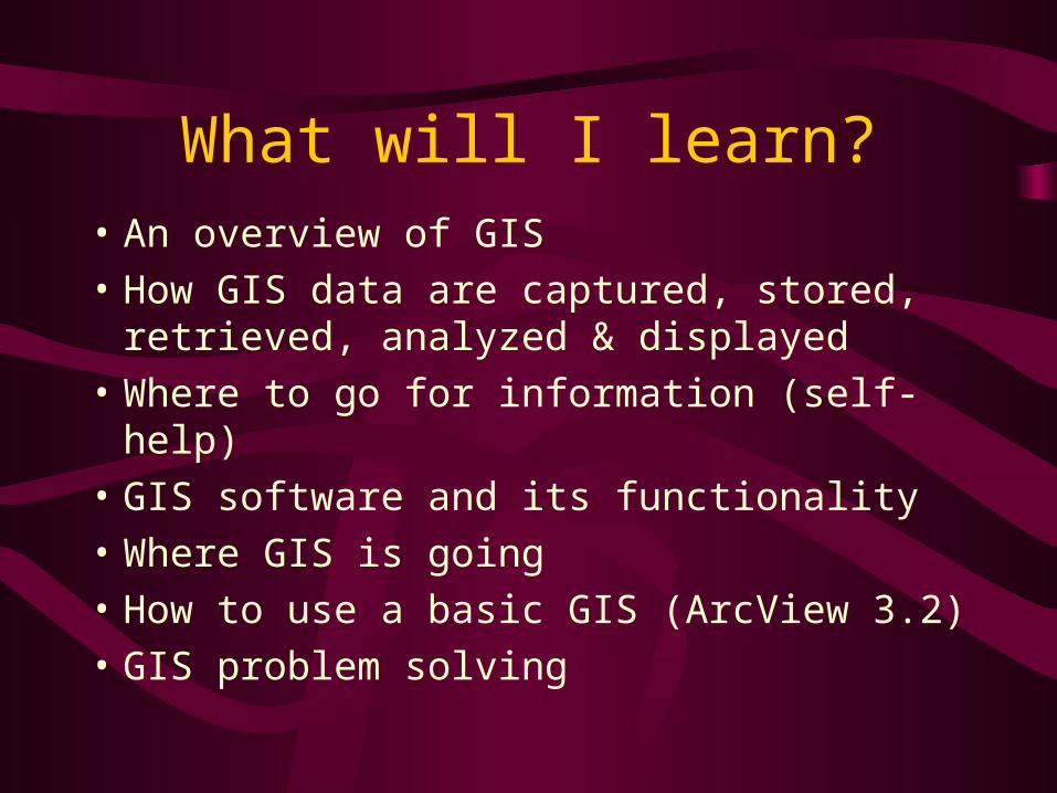
What will I learn?• An overview of GIS
• How GIS data are captured, stored, retrieved, analyzed & displayed
• Where to go for information (self-help)
• GIS software and its functionality
• Where GIS is going
• How to use a basic GIS (ArcView 3.2)
• GIS problem solving
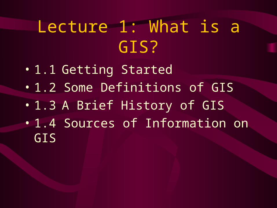
Lecture 1: What is a GIS?
• 1.1 Getting Started
• 1.2 Some Definitions of GIS
• 1.3 A Brief History of GIS
• 1.4 Sources of Information on GIS
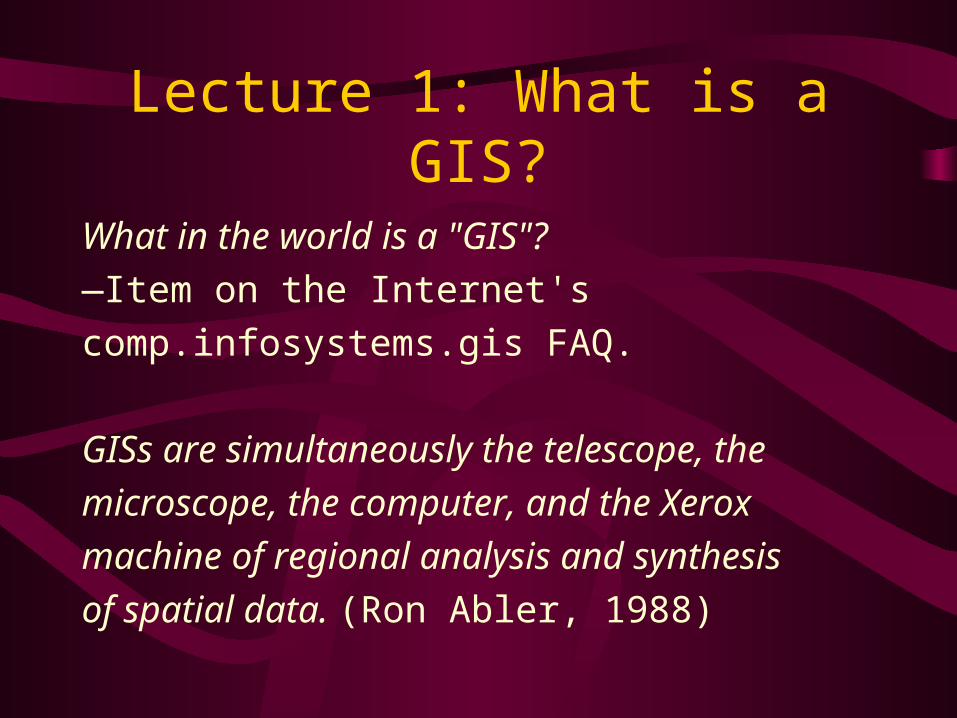
Lecture 1: What is a GIS?
What in the world is a "GIS"?
—Item on the Internet's
comp.infosystems.gis FAQ.
GISs are simultaneously the telescope, the
microscope, the computer, and the Xerox
machine of regional analysis and synthesis
of spatial data. (Ron Abler, 1988)
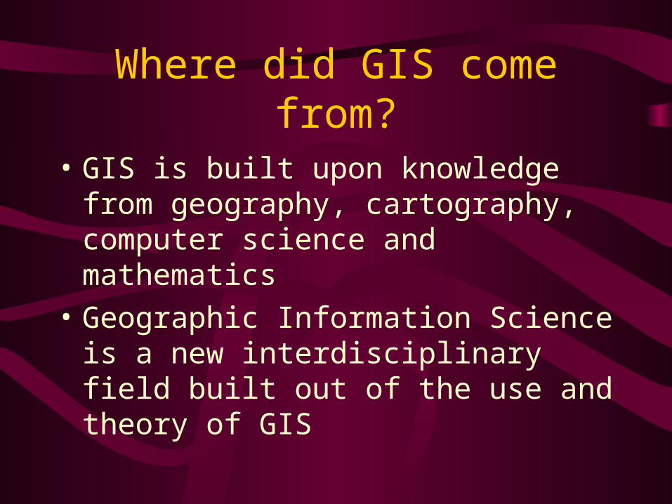
Where did GIS come from?
• GIS is built upon knowledge from geography, cartography, computer science and mathematics
• Geographic Information Science is a new interdisciplinary field built out of the use and theory of GIS
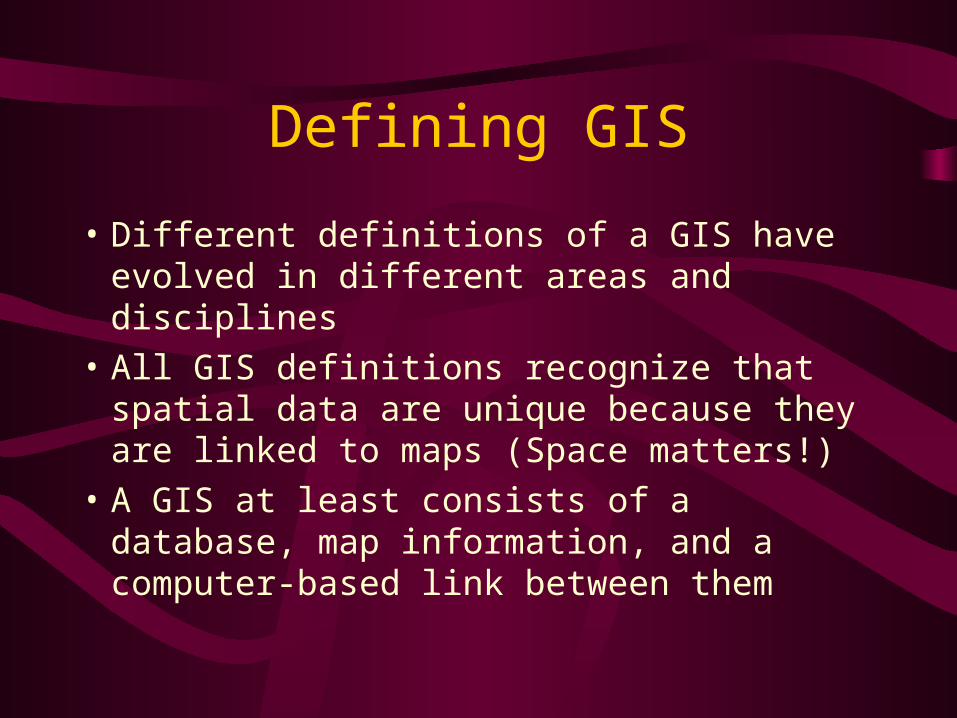
Defining GIS
• Different definitions of a GIS have evolved in different areas and disciplines
• All GIS definitions recognize that spatial data are unique because they are linked to maps (Space matters!)
• A GIS at least consists of a database, map information, and a computer-based link between them

Spatial and non-spatial data
Crimes during 1995Date Location Type1/22 123 James St. Robbery1/24 22 Smith St. Burglary2/10 9 Elm St. #4A Assault2/13 12 Fifth Avenue Breaking
& Entering
Part No. Quant. Desc.1034161 5 Wheel spoke1051671 1 Ball bearing1047623 6 Wheel rim1021413 2 Tire1011210 3 Handlebars
Figure 1.1 Two databases. A database contains columns (att ributes) and rows (records). The bicycleparts list on the left is not spatial. The parts could be located anywhere. The list of crimes on the rightis spatial because one of the at tributes, the street address, locates the crimes on a map. This list couldbe used in a GIS.
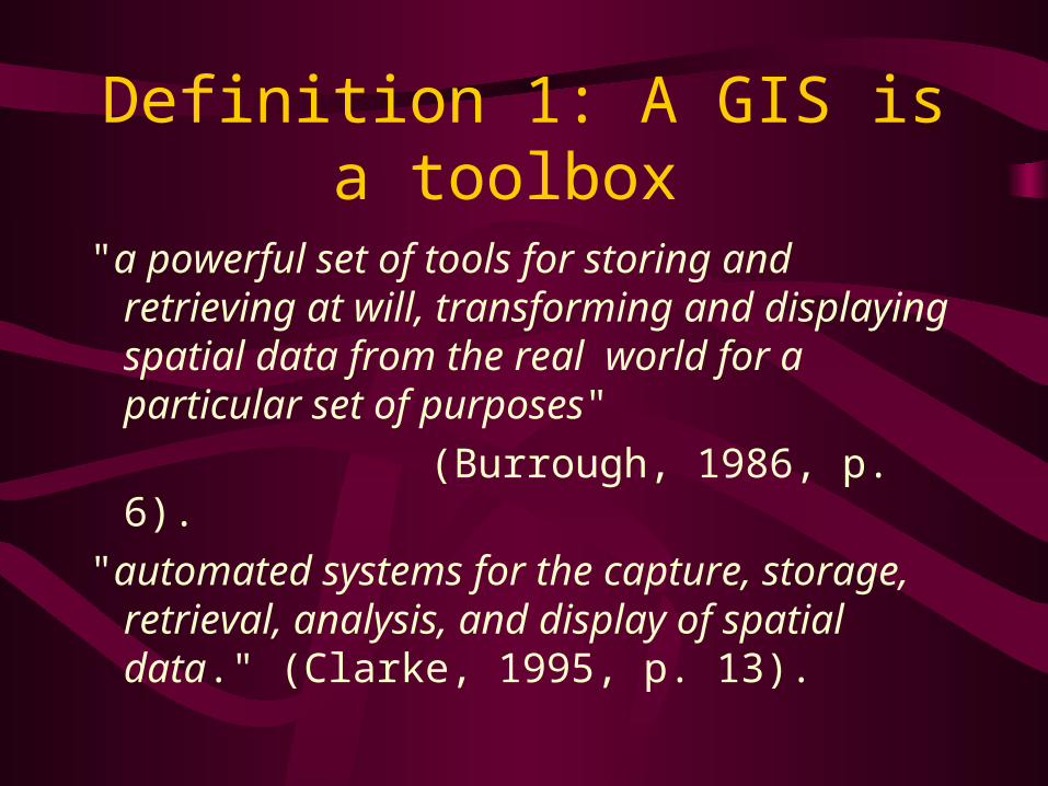
Definition 1: A GIS is a toolbox
"a powerful set of tools for storing and retrieving at will, transforming and displaying spatial data from the real world for a particular set of purposes"
(Burrough, 1986, p. 6).
"automated systems for the capture, storage, retrieval, analysis, and display of spatial data." (Clarke, 1995, p. 13).

Definition 2: A GIS is an information system
"An information system that is designed to work with data referenced by spatial or geographic coordinates. In other words, a GIS is both a database system with specific capabilities for spatially-referenced data, as well as a set of operations for working with the data" (Star and Estes, 1990, p. 2).

Map Overlay
Figure 1.3 Map overlay as presented in Design with Nature by Ian McHarg. Each transparent layer map“blacked out” areas excluded as unsuitable locations.
SOILS
PARKS
URBAN
SOLUTION MASK
FOREST

Dueker's 1979 definition (p. 20) has survived the test of time.
"A geographic information system is a special case of information systems where the database consists of observations on spatially distributed features, activities or events, which are definable in space as points, lines, or areas. A geographic information system manipulates data about these points, lines, and areas to retrieve data for ad hoc queries and analyses" (Dueker, 1979, p 106).
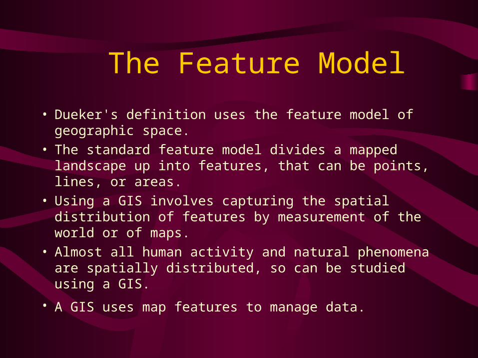
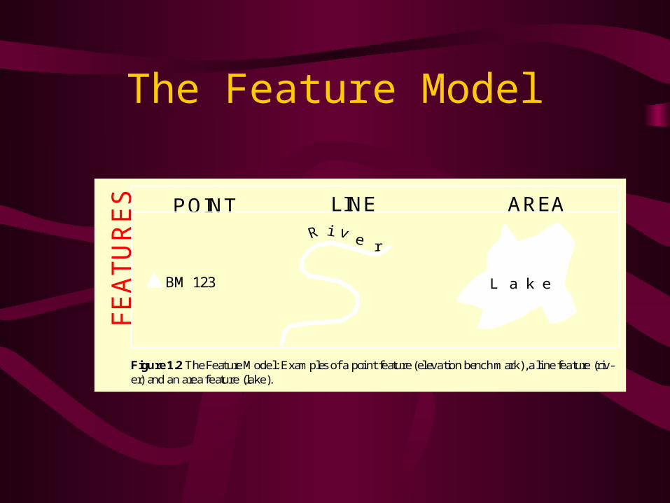
The Feature Model
• Dueker's definition uses the feature model of geographic space.
• The standard feature model divides a mapped landscape up into features, that can be points, lines, or areas.
• Using a GIS involves capturing the spatial distribution of features by measurement of the world or of maps.
• Almost all human activity and natural phenomena are spatially distributed, so can be studied using a GIS.
• A GIS uses map features to manage data.
The Feature Model
BM 123
r
L a k e
Figure 1.2 The Feature Model: Examples of a point feature (elevation bench mark), a line feature (riv-er) and an area feature (lake).
POINT LINE AREA
FEATURES
Dueker (ctd)
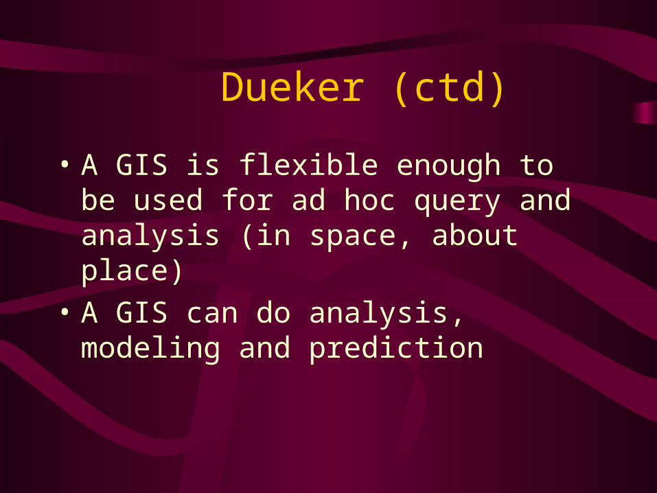
• A GIS is flexible enough to be used for ad hoc query and analysis (in space, about place)
• A GIS can do analysis, modeling and prediction

Definition 3: GIS is an approach to science
• Geographic Information Science is research both on and with GIS.
"the generic issues that surround the use of GIS technology, impede its successful implementation, or emerge from an understanding of its potential capabilities."
(Goodchild, 1992)
Definition 4: GIS is a multi-billion dollar business.
“The growth of GIS has been a marketing phenomenon of amazing breadth and depth and will remain so for many years to come. Clearly, GIS will integrate its way into our everyday life to such an extent that it will soon be impossible to imagine how we functioned before”
Definition 5: GIS plays a role in society.
Nick Chrisman (1999) has defined GIS as “organized activity by which people measure and represent geographic phenomena, and then transform these representations into other forms while interacting with social structures.”
A Brief History of GIS• GIS’s origins lie in thematic cartography
• Many planners used the method of map overlay using manual techniques
• Manual map overlay as a method was first described comprehensively by Jacqueline Tyrwhitt in a 1950 planning textbook
• HcHarg used blacked out transparent overlays for site selection in Design with Nature
A Brief History of GIS (ctd)
• The 1960s saw many new forms of geographic data and mapping software
• Computer cartography developed the first basic GIS concepts during the late 1950s and 1960s
• Linked software modules, rather than stand-alone programs, preceded GISs
• Early influential data sets were the World Data Bank and the GBF/DIME files
• Early systems were CGIS, MLMIS, GRID and LUNR • The Harvard University ODYSSEY system was influential due
to its topological arc-node (vector) data structure
A Brief History of GIS (ctd)
• GIS was significantly altered by (1) the PC and (2) the workstation
• During the 1980s, new GIS software could better exploit more advanced hardware
• User Interface developments led to GIS's vastly improved ease of use during the 1990s
• During the 1980s, new GIS software could better exploit more advanced hardware

Sources of Information on GIS
• The amount of information available about GIS can be overwhelming
• Sources of GIS information include journals and magazines, books, professional societies, the World Wide Web, and conferences
• GIS has Web Home pages, network conference groups, professional organizations, and user groups
• Most colleges and universities now offer GIS classes in geography departments

GIS Resources: Conferences
Major GIS-Only Journals
• International Journal of Geographical Information Systems
• Geographical Systems
• Transactions in GIS
• Geo Info Systems
• GIS World
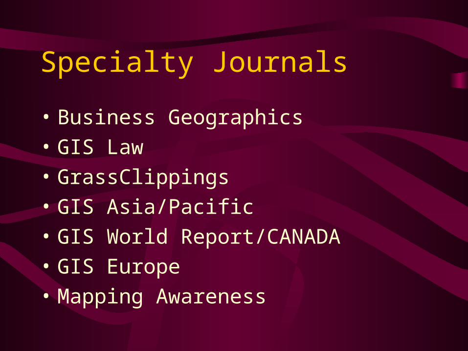
Specialty Journals
• Business Geographics
• GIS Law
• GrassClippings
• GIS Asia/Pacific
• GIS World Report/CANADA
• GIS Europe
• Mapping Awareness
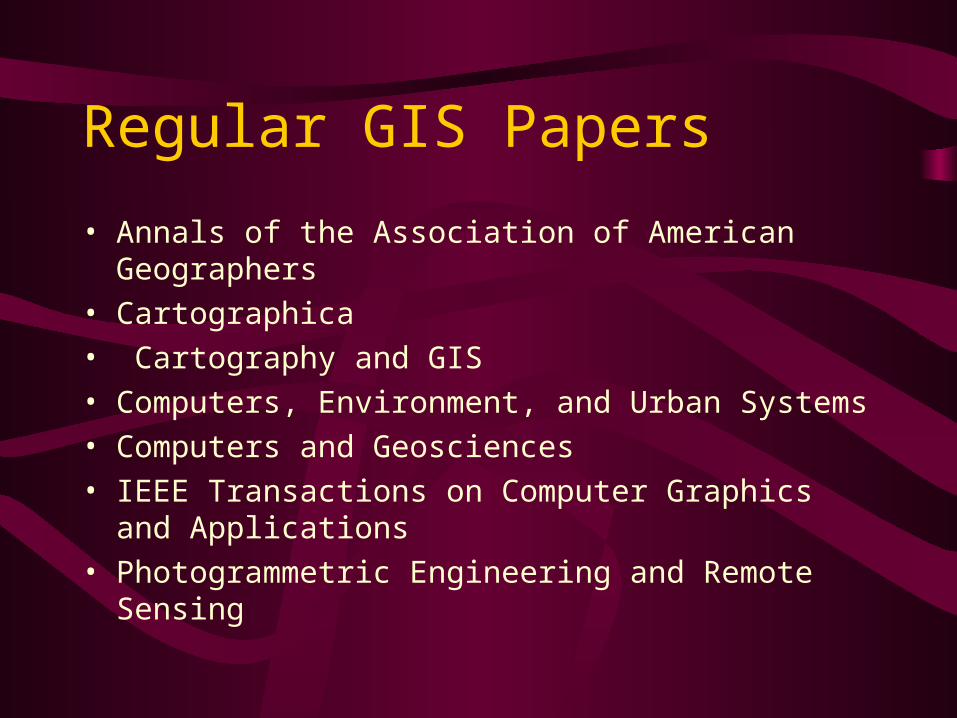
Regular GIS Papers
• Annals of the Association of American Geographers
• Cartographica
• Cartography and GIS
• Computers, Environment, and Urban Systems
• Computers and Geosciences
• IEEE Transactions on Computer Graphics and Applications
• Photogrammetric Engineering and Remote Sensing
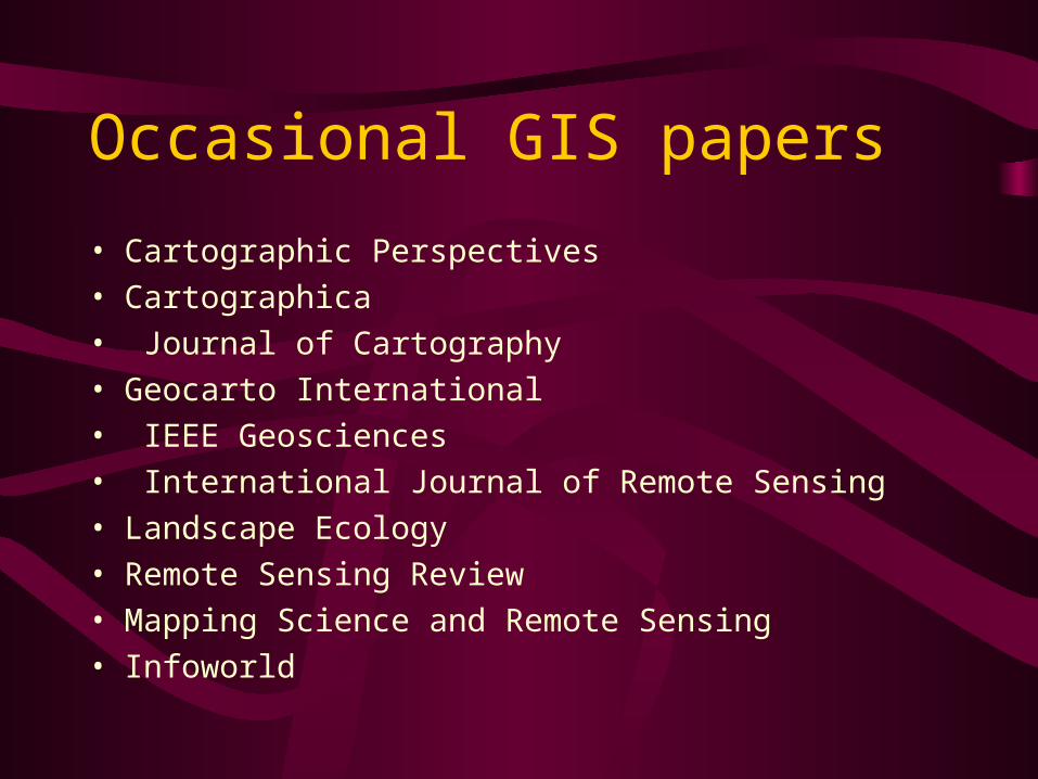
Occasional GIS papers
• Cartographic Perspectives
• Cartographica
• Journal of Cartography
• Geocarto International
• IEEE Geosciences
• International Journal of Remote Sensing
• Landscape Ecology
• Remote Sensing Review
• Mapping Science and Remote Sensing
• Infoworld

Popular Distribution Magazines
• Business geographics
• Geo info systems
• GIS Law
• GIS World
• GPS World
• Mapping awareness/Mapping awareness and GIS in Europe/Asia/Africa
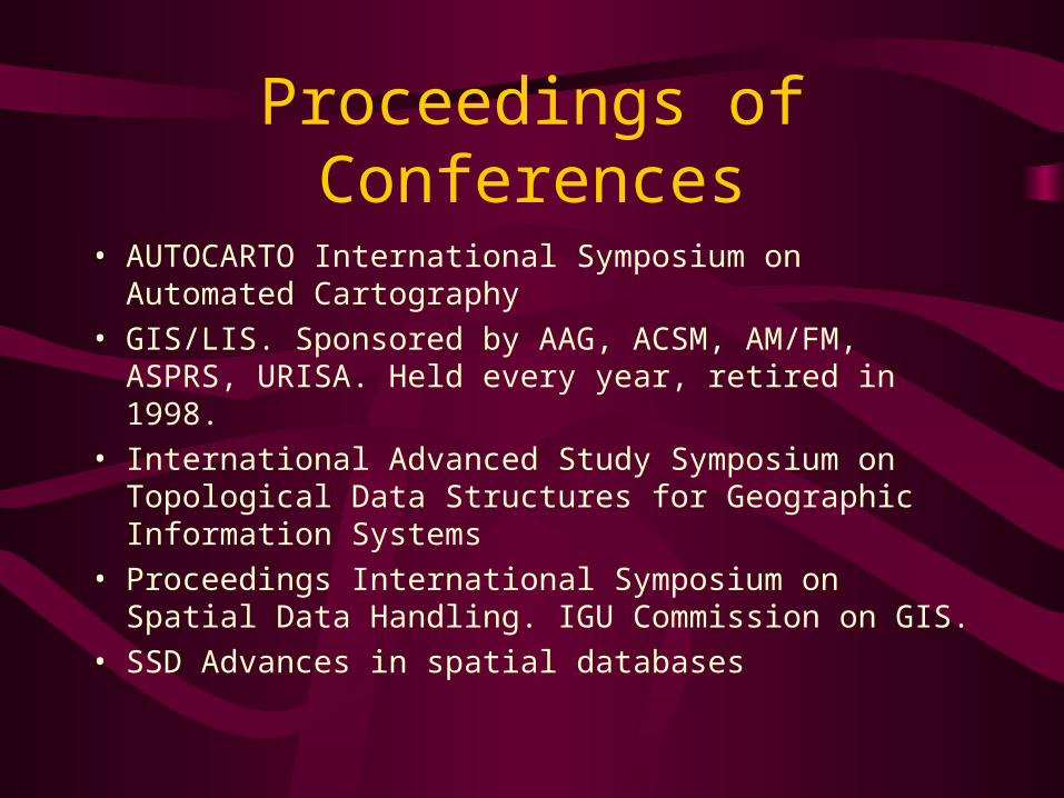
Proceedings of Conferences
• AUTOCARTO International Symposium on Automated Cartography
• GIS/LIS. Sponsored by AAG, ACSM, AM/FM, ASPRS, URISA. Held every year, retired in 1998.
• International Advanced Study Symposium on Topological Data Structures for Geographic Information Systems
• Proceedings International Symposium on Spatial Data Handling. IGU Commission on GIS.
• SSD Advances in spatial databases
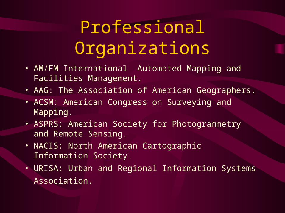
Professional Organizations
• AM/FM International Automated Mapping and Facilities Management.
• AAG: The Association of American Geographers.
• ACSM: American Congress on Surveying and Mapping.
• ASPRS: American Society for Photogrammetry and Remote Sensing.
• NACIS: North American Cartographic Information Society.
• URISA: Urban and Regional Information Systems
Association.
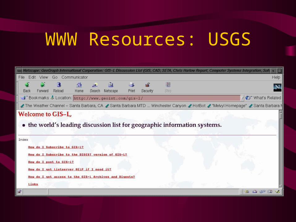
WWW Resources: USGS
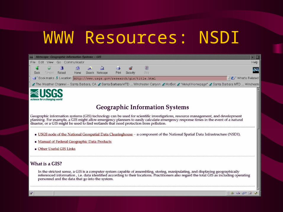
WWW Resources: NSDI

WWW Resources: Textbook Pages
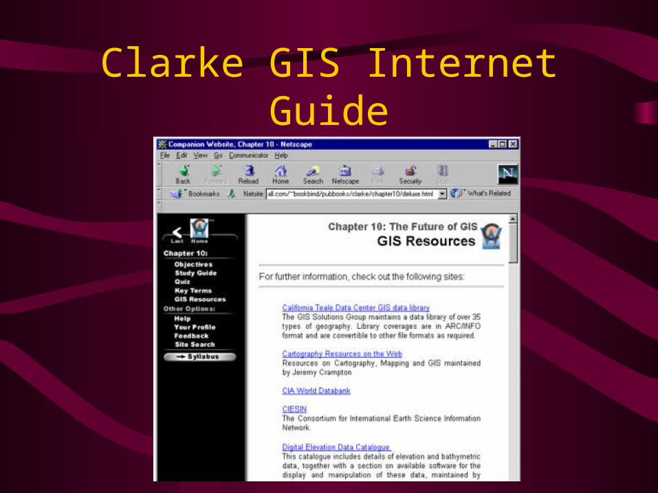
Clarke GIS Internet Guide
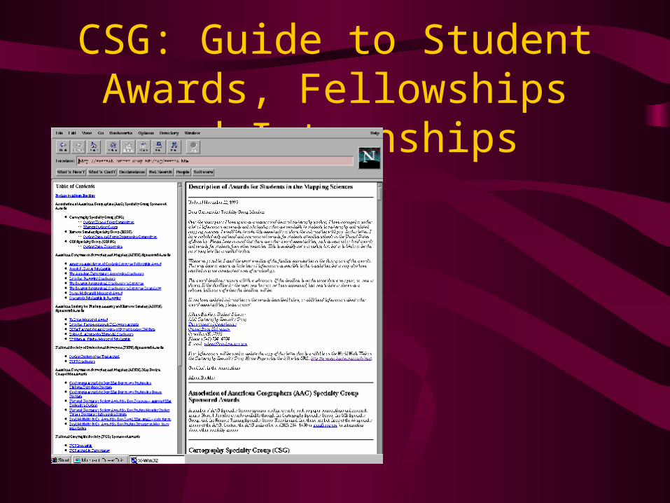
CSG: Guide to Student Awards, Fellowships and Internships
Next Topic:
GIS’s Roots in Cartography