walking is a great way to get – useful information about ... · shorter route • walking...
TRANSCRIPT
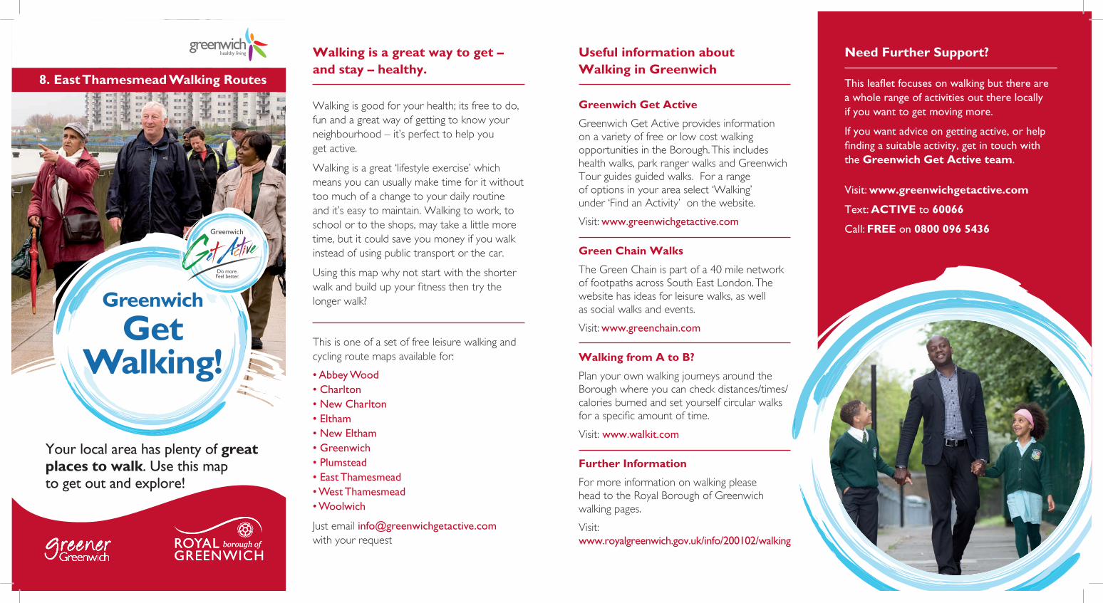
8. East Thamesmead Walking Routes
Greenwich
Get Walking!
Your local area has plenty of great places to walk. Use this map to get out and explore!
Need Further Support?
This leaflet focuses on walking but there are a whole range of activities out there locally if you want to get moving more.
If you want advice on getting active, or help finding a suitable activity, get in touch with the Greenwich Get Active team.
Visit: www.greenwichgetactive.com
Text: ACTIVE to 60066
Call: FREE on 0800 096 5436
Walking is a great way to get – and stay – healthy.
Walking is good for your health; its free to do, fun and a great way of getting to know your neighbourhood – it’s perfect to help you get active.
Walking is a great ‘lifestyle exercise’ which means you can usually make time for it without too much of a change to your daily routine and it’s easy to maintain. Walking to work, to school or to the shops, may take a little more time, but it could save you money if you walk instead of using public transport or the car.
Using this map why not start with the shorter walk and build up your fitness then try the longer walk?
This is one of a set of free leisure walking and cycling route maps available for:
• Abbey Wood• Charlton• New Charlton• Eltham• New Eltham• Greenwich• Plumstead• East Thamesmead• West Thamesmead• Woolwich
Just email [email protected] with your request
Useful information about Walking in Greenwich
Greenwich Get Active
Greenwich Get Active provides information on a variety of free or low cost walking opportunities in the Borough. This includes health walks, park ranger walks and Greenwich Tour guides guided walks. For a range of options in your area select ‘Walking’ under ‘Find an Activity’ on the website.
Visit: www.greenwichgetactive.com
Green Chain Walks
The Green Chain is part of a 40 mile network of footpaths across South East London. The website has ideas for leisure walks, as well as social walks and events.
Visit: www.greenchain.com
Walking from A to B?
Plan your own walking journeys around the Borough where you can check distances/times/calories burned and set yourself circular walks for a specific amount of time.
Visit: www.walkit.com
Further Information
For more information on walking please head to the Royal Borough of Greenwich walking pages.
Visit: www.royalgreenwich.gov.uk/info/200102/walking

Shorter Route • Walking Directions Longer Route • Walking Directions
1 Start at the Clock tower facing east away from the covered bridge. Walk in a straight line passing a bus terminus and turn right into Thamesmere Drive past the Thamesmead Suite and Claude Ramsay Library on the left.
2 Turn left into Central Way and then left into Linton Mead and cross the road. Walkto the end of the road past some gates and the pumping station. Join the Thames path and turn right heading downriver signposted ‘Thames cycle route Erith’. You will be able to see the industrial landscape on the North Bank with the Barking Creek Flood Barrier to the North West; also Crossness and wind turbines to the East.
3 Turn right at the Green Chain Walk sign, signposted ‘Southmere Park’. Pass between massive granite slabs and under the Crossways link road. Where the Green Chain Walk turns left at the canal, divert from the walk and head in a straight line through parkland keeping the canal on your left. At the end of the park, pass under Crossways for a second time and continue in a straight line, crossing the canal, along a paved road with the backs of houses to your right.
4 Turn right under the intersection between the massive concrete supporting pillars in the direction signed ‘Birchmere Park’. Enter the park and join the main tarmaced path heading West. Follow the winding path through the park past St Margaret Clitheroe RC primary school on your right. When you reach Birchmere Lake, follow instructions for the shorter route..
3 Well done for completing the longer route! Why not try making up your own walking routes in your local area?
1 Start at the base of the Clock Tower. Turn left and follow the canal side path under the Central Way link road keeping the canal to your right. You are walking towards Gallions Reach Health Centre. Turn left to follow a paved path beside green railings to join the Central Way Path heading East. Turn right into Bentham Road.
2 Keep walking along Bentham Road for a good few minutes, crossing the Butts Canal once, and turn right into Epstein Road. Turn left into Chervil Mews.
3 At the end of Chervil Mews keep straight on to footbridge and cross the Butts Canal for a second time. Turn right into Birchmere Park keeping Birchmere Lake on your right. Birchmere Park is the site of a new urban woodland where 10,000 trees were planted through the ‘Londoners Love Trees’ project.
4 Follow the path around two sides of the mere, past two antique cannons from the Royal Arsenal, dating from the 1800’s. The path eventually leaves the park and runs up to a main road junction. The vast White Hart Triangle industrial site is across the junction from you. Turn right along the Central Way.
5 You will see a bus stop and a cycle sign Route 66 to New Marsh Road – turn right here (in the opposite direction to which the cycle sign points), along a shared route, cycle sign posted ‘Birchdene Drive’ and ‘The Moorings’. (continues)
Cross Birchdene Drive and take path immediately opposite, through a ‘kissing gate’ with playing fields on your left. At the end of the path (Roman Square) cross the canal and turn immediately left along footpath following sign ‘Polytechnic School and Town Centre’.
6 The path terminates at Hutchins Road. Turn right in front of the school buildings and follow the road round to the left where the clock tower will be clear immediately ahead of you. At the end of the road join the canal side path, pass under Central Way and re-enter the shopping centre. Cross over the covered bridge and return to your starting point.
3 Well done for completing the shorter route! Why not try the longer route next time?

Shorter Route Longer Route Key
40 minute walk around Birchmere
A walk around Birchmere and some of the more intriguing paths in this Thamesmead neighbourhood.
Total distance walked: 2 miles / 3.21 km
Calories burned: 182
Thames path and Birchmere
A walk that incorporates both sections of the Thames path, with broad vistas across the river, and a meander through the leafy parks and planned green pedestrian corridors of Thamesmead Town..
Total distance walked: 3.28 miles / 5.27 km
Calories burned: 325
StartPoint
Schools/ Important Buildings
OpenSpaces
Woodland
River/Water
GPSurgeries
ThamesFootpath
GreenChainWalk
RailwayLine
ShorterRoute
LongerRoute
S
S
Tell us what you think.
Tell us what you think of the ‘Greenwich Get Walking’ maps and we’ll send you a FREE pedometer (while stocks last).
Complete our short survey at:
http://greenwichhealthyliving.nhs.uk/active-travel/get-walking/leisure-walks-in-greenwich/
© Crown Copyright and database rights 2012. Ordnance Survey 100031466.