urban land use identifying your urban jungle. residential land uses houses:
TRANSCRIPT

Urban Land Use
Identifying Your Urban Jungle

Residential Land Uses
Houses:

Residential Land Uses
Townhouses:

Residential Land Use
Houses:

Residential Land Use
Apartments:
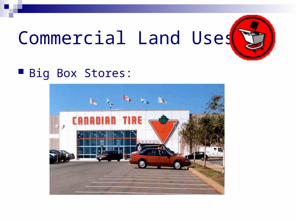
Commercial Land Uses
Big Box Stores:
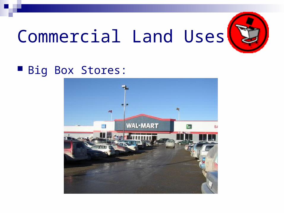
Commercial Land Uses
Big Box Stores:
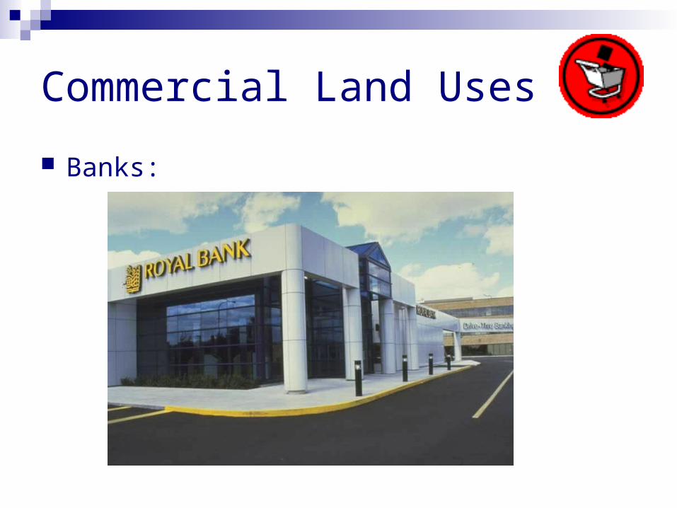
Commercial Land Uses
Banks:

Commercial Land Uses
Strip Mall:

Transportation Land Uses
Roads:

Transportation Land Uses
Roads:

Transportation Land Uses
Rail:

Industrial Land Uses
Factories:

Industrial Land Uses
Factories:

Open Space/Parkland Land Uses Parks:
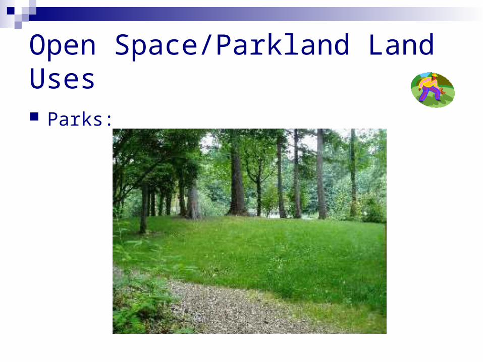
Open Space/Parkland Land Uses Parks:
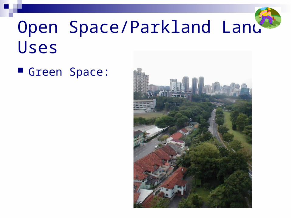
Open Space/Parkland Land Uses Green Space:

Institutional/Public Building Land Uses
Libraries:

Institutional/Public Building Land Uses
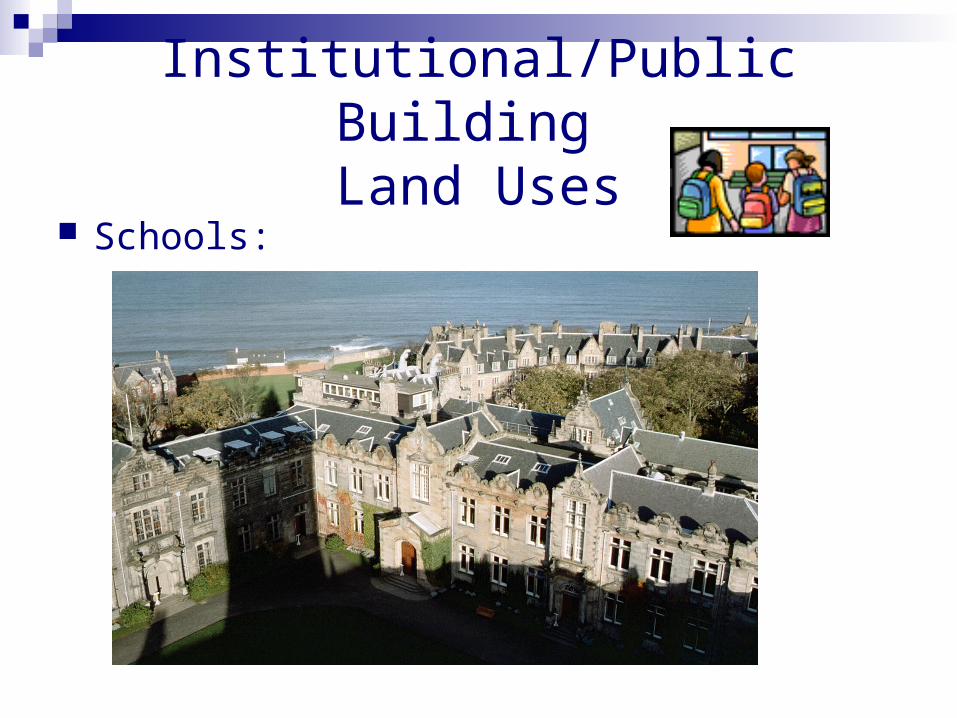
Schools:
Institutional/Public Building Land Uses
Schools:

Institutional/Public Building Land Uses
City Hall:

Review…
What are the 6 Land Uses in Urban Cities??? Residential Commercial Industrial Institutional/Public Buildings Transportation And……….. Parkland and Open Space

How do we map Land Use?
1. Using satellite imagery to classify whether the land is residential, commercial, industrial, etc.
2. Ground level survey/field survey to classify land use
3. Using GIS (Points, Lines, and Polygons)

Your task…
Individually you are going to analyze a satellite image of Oakville and produce a land use map based on what you observe from the image
Your end product will look similar to this: