united states department of the interior national park service · united states department of the...
TRANSCRIPT
NFS Form 10-900 (3-82)
OMB No. 1024-0018 Exp. 10-31-84
United States Department of the InteriorNational Park Service For NPS use only
received ^
date entered
See instructions in How to Complete National Register Forms Type all entries complete applicable sections
historic Garrison Hill Park and Joseph Bowne Sawyer Memorial Observatory
and or common Garrison Hill Park and Tower (preferred)
street & number Abbie Sawyer Memorial Drive N/A not for publication
city, town Dover N/A vicinity of
state New HamPsnire code 33 county Strafford code 017
3. ClassificationCategory Ownership
district ^ publicbuilding(s) private
X structure bothX site Public Acquisition
object in processbeing considered
X N/A
Statusoccupied
X unoccupied work in progress
Accessibleyes: restricted
x yes: unrestrictedno
Present Useagriculturecommercialeducationalentertainmentgovernmentindustrial
military
museumX park
private residencereligious
scientific__ transportation
other!
4. Owner of Property
name City of Dover, New Hampshire
street & number Municipal Building
city, town Dover N/A vicinity of state New Hampshire 03820
5. Location of Legal Description
courthouse, registry of deeds, etc. Strafford County Registry of Deeds
street & number Strafford County Courthouse, County Farm Road
city, town Dover state New Hampshire 03820
6. Representation in Existing Surveys
title None has this property been determined eligible? yes X no
date federal state county local
depository for survey records
city, town state
7. Description
Conditionexcellentgood
_JL-fair
deterioratedruinsunexposed
Check oneunaltered
X altered
Check one _X_ original site
moved date N/A
Describe the present and original (if known) physical appearance
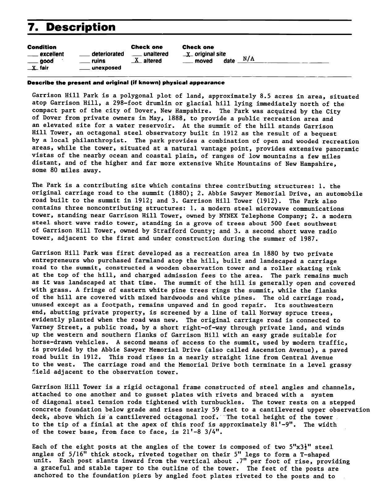
Garrison Hill Park is a polygonal plot of land, approximately 8.5 acres in area, situated atop Garrison Hill, a 298-foot drumlin or glacial hill lying immediately north of the compact part of the city of Dover, New Hampshire. The Park was acquired by the City of Dover from private owners in May, 1888, to provide a public recreation area and an elevated site for a water reservoir. At the summit of the hill stands Garrison Hill Tower, an octagonal steel observatory built in 1912 as the result of a bequest by a local philanthropist. The park provides a combination of open and wooded recreation areas, while the tower, situated at a natural vantage point, provides extensive panoramic vistas of the nearby ocean and coastal plain, of ranges of low mountains a few miles distant, and of the higher and far more extensive White Mountains of New Hampshire, some 80 miles away.
The Park is a contributing site which contains three contributing structures: 1. the original carriage road to the summit (1880); 2. Abbie Sawyer Memorial Drive, an automobile road built to the summit in 1912; and 3. Garrison Hill Tower (1912). The Park also contains three noncontributing structures: 1. a modern steel microwave communications tower, standing near Garrison Hill Tower, owned by NYNEX Telephone Company; 2. a modern steel short wave radio tower, standing in a grove of trees about 500 feet southwest of Garrison Hill Tower, owned by Strafford County; and 3. a second short wave radio tower, adjacent to the first and under construction during the summer of 1987.
Garrison Hill Park was first developed as a recreation area in 1880 by two private entrepreneurs who purchased farmland atop the hill, built and landscaped a carriage road to the summit, constructed a wooden observation tower and a roller skating rink at the top of the hill, and charged admission fees to the area. The park remains much as it was landscaped at that time. The summit of the hill is generally open and covered with grass. A fringe of eastern white pine trees rings the summit, while the flanks of the hill are covered with mixed hardwoods and white pines. The old carriage road, unused except as a footpath, remains unpaved and in good repair. Its southwestern end, abutting private property, is screened by a line of tall Norway spruce trees, evidently planted when the road was new. The original carriage road is connected to Varney Street, a public road, by a short right-of-way through private land, and winds up the western and southern flanks of Garrison Hill with an easy grade suitable for horse-drawn vehicles. A second means of access to the summit, used by modern traffic, is provided by the Abbie Sawyer Memorial Drive (also called Ascension Avenue), a paved road built in 1912. This road rises in a nearly straight line from Central Avenue to the west. The carriage road and the Memorial Drive both terminate in a level grassy field adjacent to the observation tower.
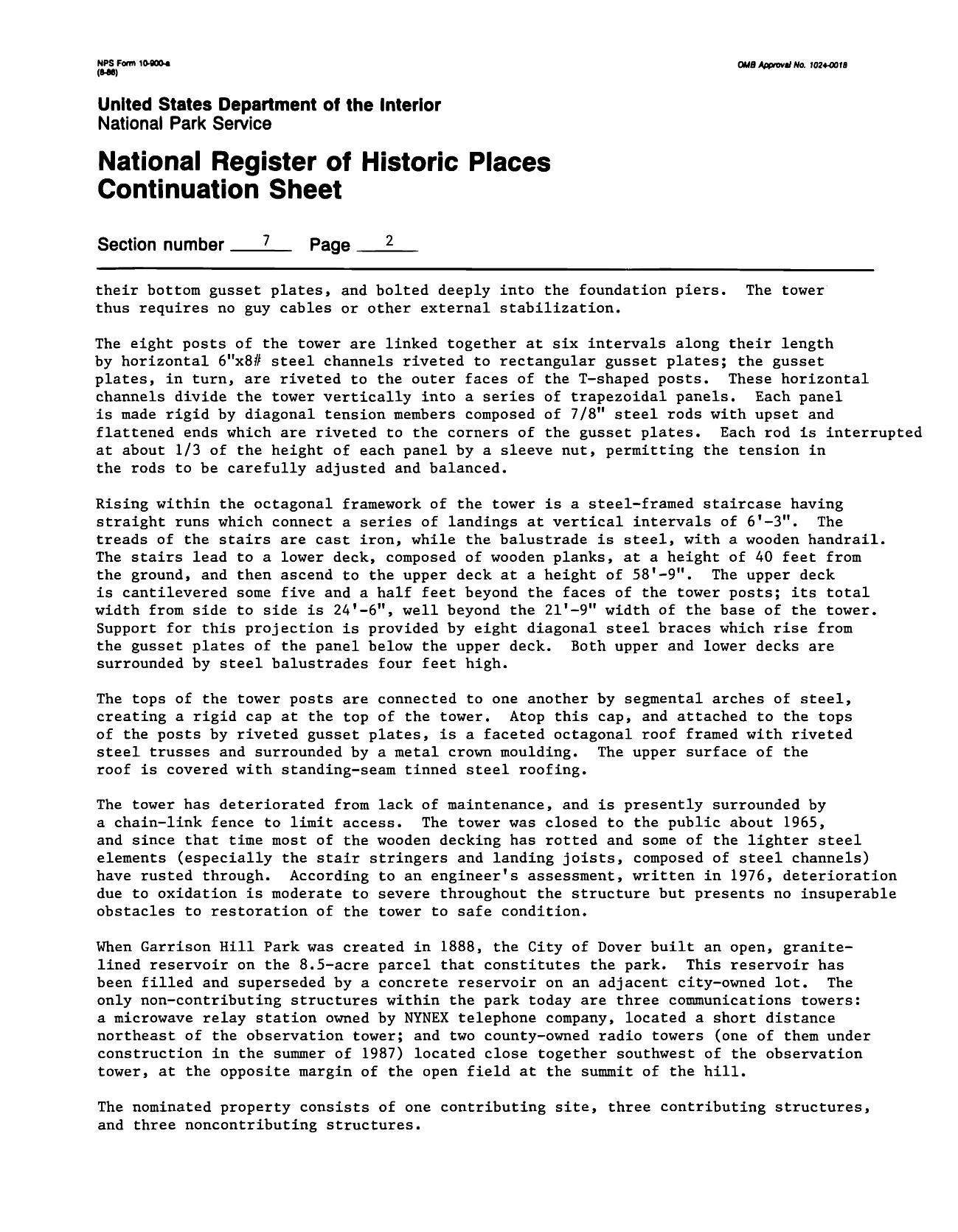
Garrison Hill Tower is a rigid octagonal frame constructed of steel angles and channels,attached to one another and to gusset plates with rivets and braced with a systemof diagonal steel tension rods tightened with turnbuckles. The tower rests on a steppedconcrete foundation below grade and rises nearly 59 feet to a cantilevered upper observationdeck, above which is a cantilevered octagonal roof. The total height of the towerto the tip of a finial at the apex of this roof is approximately 81 T -9". The widthof the tower base, from face to face, is 21'-8 3/4".
Each of the eight posts at the angles of the tower is composed of two 5"x3£" steel angles of 5/16" thick stock, riveted together on their 5" legs to form a T-shaped unit. Each post slants inward from the vertical about .7" per foot of rise, providing a graceful and stable taper to the outline of the tower. The feet of the posts are anchored to the foundation piers by angled foot plates riveted to the posts and to
NPS Form 10-900* QMS Afprovil No. 102+4018 (W8)
United States Department of the InteriorNational Park Service
National Register of Historic Places Continuation Sheet
Section number 7 Page 2
their bottom gusset plates, and bolted deeply into the foundation piers. The tower thus requires no guy cables or other external stabilization.
The eight posts of the tower are linked together at six intervals along their length by horizontal 6"x8# steel channels riveted to rectangular gusset plates; the gusset plates, in turn, are riveted to the outer faces of the T-shaped posts. These horizontal channels divide the tower vertically into a series of trapezoidal panels. Each panel is made rigid by diagonal tension members composed of 7/8" steel rods with upset and flattened ends which are riveted to the corners of the gusset plates. Each rod is interrupted at about 1/3 of the height of each panel by a sleeve nut, permitting the tension in the rods to be carefully adjusted and balanced.
Rising within the octagonal framework of the tower is a steel-framed staircase having straight runs which connect a series of landings at vertical intervals of 6'-3". The treads of the stairs are cast iron, while the balustrade is steel, with a wooden handrail. The stairs lead to a lower deck, composed of wooden planks, at a height of 40 feet from the ground, and then ascend to the upper deck at a height of 58'-9". The upper deck is cantilevered some five and a half feet beyond the faces of the tower posts; its total width from side to side is 24'-6", well beyond the 21'-9" width of the base of the tower. Support for this projection is provided by eight diagonal steel braces which rise from the gusset plates of the panel below the upper deck. Both upper and lower decks are surrounded by steel balustrades four feet high.
The tops of the tower posts are connected to one another by segmental arches of steel, creating a rigid cap at the top of the tower. Atop this cap, and attached to the tops of the posts by riveted gusset plates, is a faceted octagonal roof framed with riveted steel trusses and surrounded by a metal crown moulding. The upper surface of the roof is covered with standing-seam tinned steel roofing.
The tower has deteriorated from lack of maintenance, and is presently surrounded by a chain-link fence to limit access. The tower was closed to the public about 1965, and since that time most of the wooden decking has rotted and some of the lighter steel elements (especially the stair stringers and landing joists, composed of steel channels) have rusted through. According to an engineer's assessment, written in 1976, deterioration due to oxidation is moderate to severe throughout the structure but presents no insuperable obstacles to restoration of the tower to safe condition.
When Garrison Hill Park was created in 1888, the City of Dover built an open, granite- lined reservoir on the 8.5-acre parcel that constitutes the park. This reservoir has been filled and superseded by a concrete reservoir on an adjacent city-owned lot. The only non-contributing structures within the park today are three communications towers: a microwave relay station owned by NYNEX telephone company, located a short distance northeast of the observation tower; and two county-owned radio towers (one of them under construction in the summer of 1987) located close together southwest of the observation tower, at the opposite margin of the open field at the summit of the hill.
The nominated property consists of one contributing site, three contributing structures, and three noncontributing structures.
8. Significance
Period Areas of Significance Check and justify below__ prehistoric _ . archeology-prehistoric .___ community planning __ landscape architecture._. religion __1400-1499 ..._ archeology-historic __ conservation _.__ law __ science __1500-1599 __agriculture __economics _..literature __sculpture __1600-1699 _.architecture __education ___military __social/ __1700-1799 __ art __ engineering __ music humanitarian _X_ 1800-1899 ..._commerce .._.exploration/settlement__philosophy .__theater __X- 1900- __communications .._industry __politics/government __transportation
__._ invention X other (specify) _________________.____.__.._________________..._.___._______________recreationSpecific dates 1S80 (park) 1912 (tower^uilder Architect J. R. Worcester & Co., engineers (tower)
Statement of Significance (in one paragraph)Garrison Hill Park and Tower retain integrity of location, design, setting, feeling, and association. The tower also retains integrity of workmanship. Lack of maintenance since the 1960s has somewhat diminished the tower's integrity of materials, but a professional assessment of the structure attests to the fact that its key components remain sound. The park and tower meet National Register Criterion C, embodying the distinctive characteristics of the late nineteenth century rural park and the early twentieth century steel observatory. Neither park nor tower represents an exception to the criteria. Park and tower are both significant representatives of aspects of recreation. The period of significance of the park is 1880-1937, while that of the observatory is 1912-1937. The park remains almost unchanged since its establishment in 1880; even its original carriage road is intact and in good condition. An open reservoir excavated within its borders in 1888 has since been removed, returning the park essentially to its original state. The only intrusions within its borders are three modern steel communications towers. The observatory likewise remains in original condition except for deterioration of stair treads and flooring planks. Its access road of 1912, which supplanted the winding carriage road of 1880, remains the principal means of access to the tower and park. The observatory has special importance as the earliest known example in New Hampshire of a steel observation tower.
Garrison Hill Park and Tower exemplify the commitment of late-nineteenth-century American communities to the creation of public parks for the refreshment and health of citizens. The park and tower also reflect a heightened interest at the same period in an aesthetic enjoyment of landscapes and vistas. The park was created at the beginning of the public park movement in New Hampshire and the tower, though not original to the park's beginnings, replaces a wooden predecessor that stood on the same site. The park is important in the history of community planning in New Hampshire not only because it was among the earliest public parks in the state, but also because it was linked to a public transportation system (a horse railroad) and because it took advantage of an impressive panorama visible from the summit of Garrison Hill. In emphasizing the available vista as a public benefit, the park linked itself with other lookout towers, mountain carriage roads, and dramatic vantage points in New Hampshire and elswhere, as well as with aesthetic attitudes widely shared in the late 1800s by writers, artists, and the public alike. The park and tower thus both represent the tendency among Europeans and Americans since the eighteenth century to regard the attainment of a vista or panoramic view as an end in itself and as a form of recreation or refreshment.
The American park movement, which had its origins in the writings of Andrew JacksonDowning and Calvert Vaux and matured under the influence of Frederick Law Olmstead,began to flourish in many small communities as well as in-larger cities followingthe Civil War. Public lands had been commonplace in New Hampshire towns since theseventeenth century, but these were reserved for utilitarian rather than for aestheticor recreational purposes. The origin of the planned urban park in New Hampshiremay be traced to a decision by the Amoskeag Corporation as it designed the industrialcity of Manchester, New Hampshire. When it commenced to sell private houselotsin 1838, the corporation reserved five commons which were to be left undevelopedand were eventually landscaped as parks, some with small ponds useful for fire protectionas well as for beauty. In the coastal city of Portsmouth, Langdon Park was laidout in 1876 on the shores of a tidal pond, utilizing land given in a trust establishedin 1867.1
See continuation Sheet
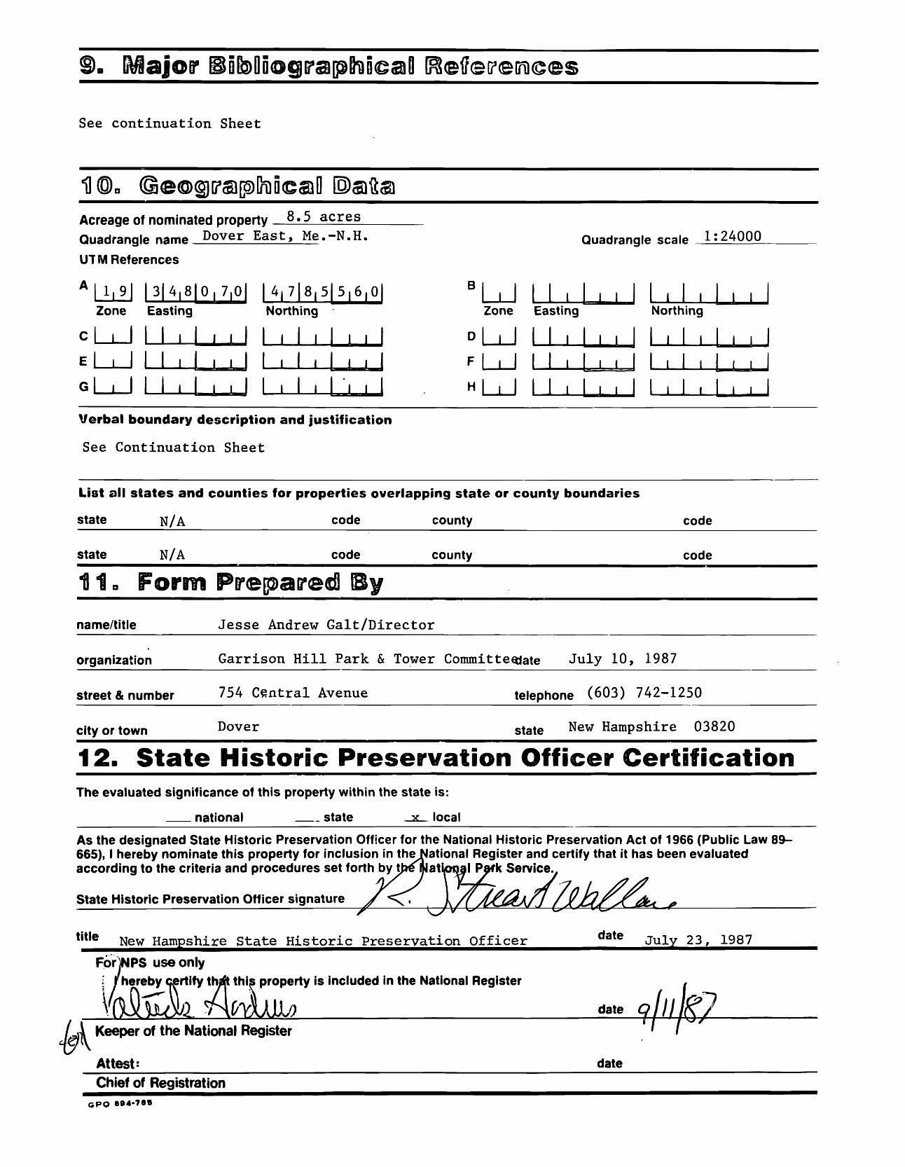
Acreage of nominated property 8.5 acres Quadrangle nam* Dover East, Me.-N.H.
UT M References
A | 1|9| |3|4,8|0,7,0| 14,718151516, Zone Easting Northing
c__I I I i I i i I I i I , I i ,El l I I I , I . i I I , I , I l ,
I I I J_I J I I I
Quadrangle scale 1:24000
J_IZone Easting Northing
D|___ Mill, I , I I I , I
Fl I I I I . I l . I 1,1,1,1
I I I I
Verbal boundary description and justification
See Continuation Sheet
List all states and counties for properties overlapping state or county boundaries
state N/A code county code
state N/A code county code
name/title Jesse Andrew Gait/Director
organization Garrison Hill Park & Tower Committeojate July 10, 1987
street & number 754 Central Avenue telephone (603) 742-1250
city or town Dover state New Hampshire 03820
12. State Historic Preservation Officer CertificationThe evaluated significance of this property within the state is:
__ national __ state x local
As the designated State Historic Preservation Officer for the National Historic Preservation Act of 1966 (Public Law 89- 665), I hereby nominate this property for inclusion in theNational Register and certify that it has been evaluated according to the criteria and procedures set forth by t>eQJatioi)al Park Service.,
State Historic Preservation Officer signature
title New Hampshire State Historic Preservation Officer date July 23, 1987
ForjNPS use only 1 /hereby certify th^t this property is included in the National Register
Wtlt date
/ v\ Keeper of the National Register
Attest: date
Chief of RegistrationGPO B94-78B
NPS Form 1(WOO« °*« Approv./ No. 702*0018 (M6)
United States Department of the InteriorNational Park Service
National Register of Historic Places Continuation Sheet
Section number 8 Page 2
Concord, New Hampshire's capital, had no public park until 1884, when a local philanthropist donated White Park and the city employed Charles Eliot (1859-1897) of Boston to design the tract in the Olmstead tradition.
Although Garrison Hill Park became public property in Dover at about the same time that other New Hampshire cities were acquiring similar parks, the origins of the Dover park did not lie in private or corporate philanthropy as in other New Hampshire cities. Rather, Garrison Hill Park began as a private, profit-making enterprise which was later acquired by the City of Dover, partly for utilitarian purposes and partly for public enjoyment. Only later, with the construction of the present Garrison Hill Tower in 1912, did private philanthropy figure in the development of the tract.
The park was developed in 1880 by Harrison Haley (1825-1906), the treasurer of a local bank and an active community leader. In partnership with Joseph Ham III, a local land owner whose property was essential to the scheme, Haley purchased the summit of Garrison Hill in 1880. By the autumn of that year, Haley and Ham had employed a contractor to construct a five-story wooden tower, sixty-five feet high at its upper deck, with an enclosed restaurant at its base and a mansard roof at the top. Nearby, the partners constructed a rink for the then-popular pastime of roller skating, and provided benches and swings in the grove at the summit. Transportation from the compact part of the city to the base of Garrison Hill was provided by a horse railroad, of which Haley was also a chief developer, and the proprietors supplied an omnibus which made regular trips to the summit over a carriage road which wound around the southern flank of the hill at an easy gradient. Haley and Ham charged private vehicles ten cents per carriage for the use of this road, with another ten cent charge to enter the observatory. The proprietors had sold,6,000 tickets even before the road and tower opened to the public on October 16, 1880.
Despite the fact that the park had its origins in private entrepreneurship, the people of Dover greeted it as a benefit to public well-being and regarded it with the same pride that citizens of other New Hampshire communities felt for their municipal parks. At the park's dedication, a local physician testified to "the great amount of physical, as well as mental good, to be derived from a visit to this health-giving, airy place," while another orator "rejoiced that Messrs. Haley and Ham had opened up a place where the poor might go, as well as the rich, for recreation and improvement."
Regard for the benefits of the park lay not only in the fresh air and exercise it could provide, but also in the beauty it made available to visitors. Beginning in the eighteenth century with the development in Europe of aesthetic theory, the beautiful vista had been regarded as something to be sought out for enjoyment and mental refreshment. This sentiment began to develop in New Hampshire as early as the late 1700s with the first ascents of the White Mountains by men of letters like Jeremy Belknap, the state's first historian. The same region attracted a number of landscape painters before 1850; after the Civil War, landscape artists visited New Hampshire in sufficient numbers as to constitute the "White Mountain School" of art, spiritually allied to the better-known Hudson River School. While these artists usually sought out the sublime landscapes of rugged mountainous territory, many of them were also drawn to the softer beauty of low hills in the vicinity of cultivated lands and villages. Garrison Hill itself
NFS form 10-900* OMB Approval No. 7024-0078(«we)
United States Department of the InteriorNational Park Service
National Register of Historic Places Continuation Sheet
Section number 8 Page 3
was the vantage point for a popular view of Dover drawn by New Hampshire artist John Badger Batchelder and published as a lithograph in 1855. Similar views of the city of Manchester were drawn by Batchelder and others from Rock Rimmon, a promontory overlooking that industrial city.
Regard for the view from Garrison Hill is evident in an advertisement published by Haley and Ham after opening the observatory. According to the proprietors, the tower's "highest balcony affords a view of rare beauty, characteristic of New Hampshire; the great distant ring of the horizon is rugged and broken with a continuous chain of hills, save when, in the south, the distant ocean shows his line of blue." The proprietors of the hill and others delighted in quoting noted abolitionist and Dover native John Parker Hale who, "on his return from Europe, said in a public address, 'That of any hills he had visited in any country, none for beauty and variety of scenery surpasses Garrison Hill.'" To add to the enjoyment of visitors, the proprietors of the observatory provided a "powerful telescope" in the tower.
With similar enthusiasm, Americans elsewhere constructed wooden observatories. Haleyand Ham described their tower as similar in construction to those built earlier atConey Island, New York, and Davis* Hill, near Philadelphia. In New Hampshire, a five-story,85-foot wooden tower, accompanied by a picnic ground, pavilion, and small zoo, waserected in the 1880s by a local farmer at Hooksett Pinnacle, overlooking the MerrimackRiver valley north of the city of Manchester. Another wooden observatory, envelopinga cluster of tall white pine trees, was constructed at Hillsborough Center before 1896.By World War I, a private proprietor had built a steel observation tower on Mount Agassiznear Bethlehem, N.H., in the heart of the White Mountains. The carriage road to thesummit of Garrison Hill was duplicated by similar roads, most of them private tollroads, to the summits of such New Hampshire mountains as Washington, Moosilauke, Kearsarge,and the Uncanoonucs.
Within a few years of the development of Garrison Hill Park, the City of Dover decided to purchase the tract as a public park. Spurred in part by a decision to built a muni cipal waterworks (which required an elevated location for a reservoir), the city voted to purchase the park for $10,000 from Haley and Ham in May, 1888. The city retained the observatory, but removed the roller skating rink to provide room for an open, granite- lined reservoir.
The site-continued to serve as a park. On June 27, 1897, however, the tower was destroyed by fire. The summit of the hill remained without an observatory until 1913. In that year, the present observatory was dedicated and opened to the public as the result of a bequest made in her husband's memory by Abbie Sturtevant Sawyer in 1911. Abbie Sawyer's bequest provided not only $3,000 to build the tower, but $500 to construct a new road (the Abbie Sawyer Memorial Drive) to the summit of the hill and a $4,000 trust fund to maintain the park and the tower. To this bequest, the City of Dover added $2,400 to ensure that the tower would be of the best possible design.
The result of this bequest and appropriation was a strong steel observatory which incor porated principals of tower construction developed by the mid-nineteenth century. The tower construction is similar,to that employed in 1849 for the iron Minot's Ledge Light house outside Boston harbor. Similar principles were later used in the skeletons
NPS Form 10-90O-* OUB Aflffovtl No. 1024-001B (M6)
United States Department of the InteriorNational Park Service
National Register of Historic Places Continuation Sheet
Section number 8 Page *
12 of "screw-pile" lighthouses along the eastern seaboard of the United States. Allsuch structures share with the Garrison Hill Tower a frame made of a regular polygon of well-anchored posts linked by horizontal ties or girts to create trapezoidal panels which are stiffened by diagonal tension rods.
The second and present Garrison Hill Tower continued to serve its intended purpose of enhancing the vista from the park until about 1965, when deterioration of the tower (especially the stair treads and floor planks) required its closing. The tower remains in restorable condition and represents the best example in New Hampshire of an early twentieth-century steel observatory. The park that surrounds the tower retains the natural conditions for which it has been admired for more than a century, and is an important example both of the privately-developed park and of the municipal preserve.
NOTES
Langdon Park, Portsmouth, N.H. ... An Account of Building the Park, and the Opening Exercises, May 25, 1876. (Portsmouth, N.H.: Charles W. Gardner, 1876).
2 Charles Eliot, "White Park, Concord, New Hampshire," Garden and Forest, August 13,1890; reprinted with slight changes in The Granite Monthly 13 (1890), pp. 228-229.
3 Strafford County Deeds, vol. 264, page 431.
4 Dover Enquirer, October 7, 1880.
Dover Enquirer, October 21, 1880.£
Advertising card, "Garrison Hill and the Observatory, Dover, N.H.," New Hampshire Historical Society, Concord, New Hampshire.
7 Ibid.Q
Dover Weekly Times, May 24, 1888; John Scales, History of Strafford County, New Hampshire and Representative Citizens (Chicago: Richmond-Arnold Publishing Co., 1914), p. 152; Strafford County Deeds, vol. 288, page 70; vol. 288, page 191.
q Foster's Weekly Democrat, July 2, 1897.
Will of Abbie Morticia Sawyer, 24 February, 1908, Strafford County Register of Probate.
Frederick A. Talbot, Lightships and Lighthouses (Philadelphia: J. B. Lippincott Company, 1913), p. 19, pp. 176-178; Malcolm F. Willoughby, Lighthouses of New England (Boston: T. 0. Metcalf Company, 1929), pp. 141-146.
12Talbot, Lightships and Lighthouses, p. 19.
NPS Form 1&-900* O^g ^pp^U No. 102+4018 (8-ee)
United States Department of the InteriorNational Park Service
National Register of Historic Places Continuation Sheet
Section number 9 Page 2
9. MAJOR BIBLIOGRAPHICAL REFERENCES
Dover Enquirer (newspaper), October 7, 1880, October 21, 1880.
Dover Weekly Times (newspaper), May 24, 1888.
Eliot, Charles, "White Park, Concord, New Hampshire," Garden and Forest, August 13,1880; reprinted with slight changes in The Granite Monthly 13 (1890), pp. 228-229,
Fosters Weekly Democrat (newspaper), July 2, 1897.
"Garrison Hill and the Observatory, Dover, N.H.," (advertising card, circa 1885), New Hampshire Historical Society, Concord, New Hampshire.
Langdon Park, Portsmouth, N. H. . . .An Account of Building the Park, and theOpening Exercises, May 25, 1876. (Portsmouth, N.H.: Charles W. Gardner, 1876).
Scales, John, History of Strafford County, New Hampshire and Representative Citizens (Chicago: Richmond-Arnold Publishing Co., 1914).
Talbot, Frederick A., Lightships and Lighthouses (Philadelphia: J. B. Lippincott Company, 1913).
Willoughby, Malcolm F., Lighthouses of New England (Boston: T. 0. Metcalf Company, 1929).
Worcester, J. R. & Company, "Dover Observation [Tower]" (original contract prints, June 21, 1912, City of Dover, New Hampshire).
NPS Form 10-900* 0MB Approvt/ Mo. 7024-00/8 (M8)
United States Department of the InteriorNational Park Service
National Register of Historic Places Continuation Sheet
Section number 10 Page 2
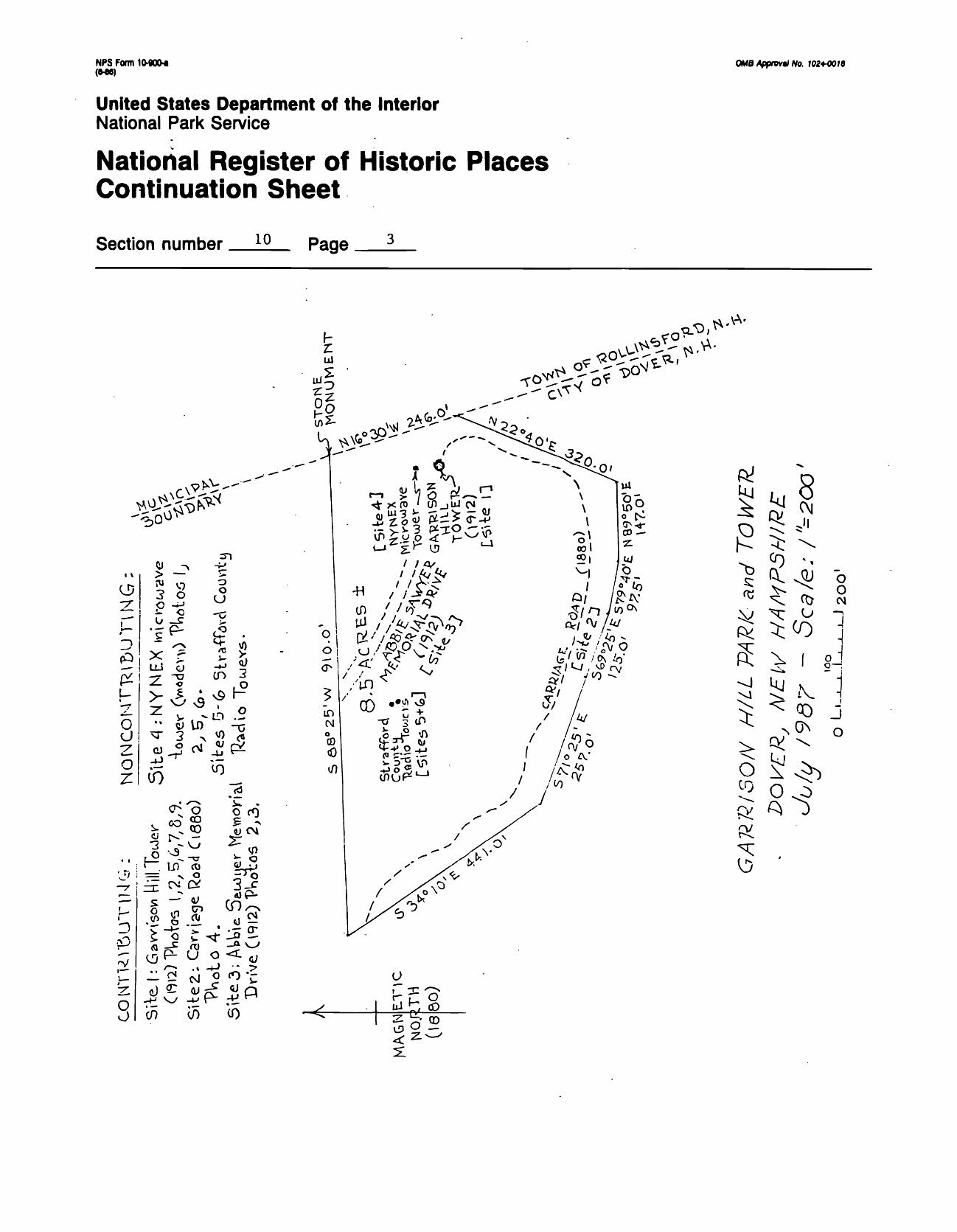
10. GEOGRAPHICAL DATA
Verbal boundary description and justification.
Beginning at a stone monument set in the ground on Garrison Hill on the boundary line between the City of Dover and the Town of Rollinsford, New Hampshire; thence S88°25'W 910 feet to a point; thence S34°10'E 441 feet to a point; thence S71°25'E 257 feet to a point; thence S69°25'E 125 feet to a point; thence S79°40'E 97.5 feet to a point; thence N89°50'E 147 feet to a point; thence N22°40'E 320 feet to a point on the boundary line between Dover and Rollinsford; thence N16 30 ! W on the boundary line to the point begun at; the whole containing eight and one-half acres, more or less, as shown on the accompanying sketch map.
The boundaries of the nominated property are those historically associated with this parcel from the time it became a private park in 1880 (Strafford County Deeds, vol. 269s page 431); these boundaries were retained when the parcel became a muni cipal park in 1888 (Strafford County Deeds, vol. 288, page 70; vol. 288, page 191). This parcel contains and is historically associated with Garrison Hill Tower, as well as the two access roads (1880 and 1912) which have provided access to the summit of Garrison Hill since this parcel first became a park.
NFS Form 10-900* (WC)
0MB Approval No. 1024-0018
United States Department of the InteriorNational Park Service
National Register of Historic Places Continuation Sheet
Section number 10 Page 3
T§8i- Co _s:
LLi CJ
o0
U
U
Ou z0 s Zl tf)
O •D
3
a rO 5 ^•^ * ~ Ci ^-CO
SI
•OP- CO^
U
<r
CO (0
»&*£'
o £§
£8CM
'< vVL> oV- ^ O^ CO <M
-s^ fr\ -I
MN ^ 1 o—i
^fc'l^ ^ J ^ >0^ o
0O
NPS Form 10-900-* QUB Appmvtl No. 7024-00/8 (M6)
United States Department of the InteriorNational Park Service
National Register of Historic Places Continuation Sheet
Section number 10 Page 4
This certifies that the appearance has not changed since these photographs were taken.