ocean management planning dcpc: planning for offshore ... · planning for offshore development ......
TRANSCRIPT
Cape Cod Ocean Management Plan Planning for Offshore Development
IGERT Presentation
February 9, 2012
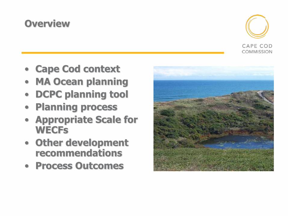
Overview
• Cape Cod context
• MA Ocean planning
• DCPC planning tool
• Planning process
• Appropriate Scale for WECFs
• Other development recommendations
• Process Outcomes
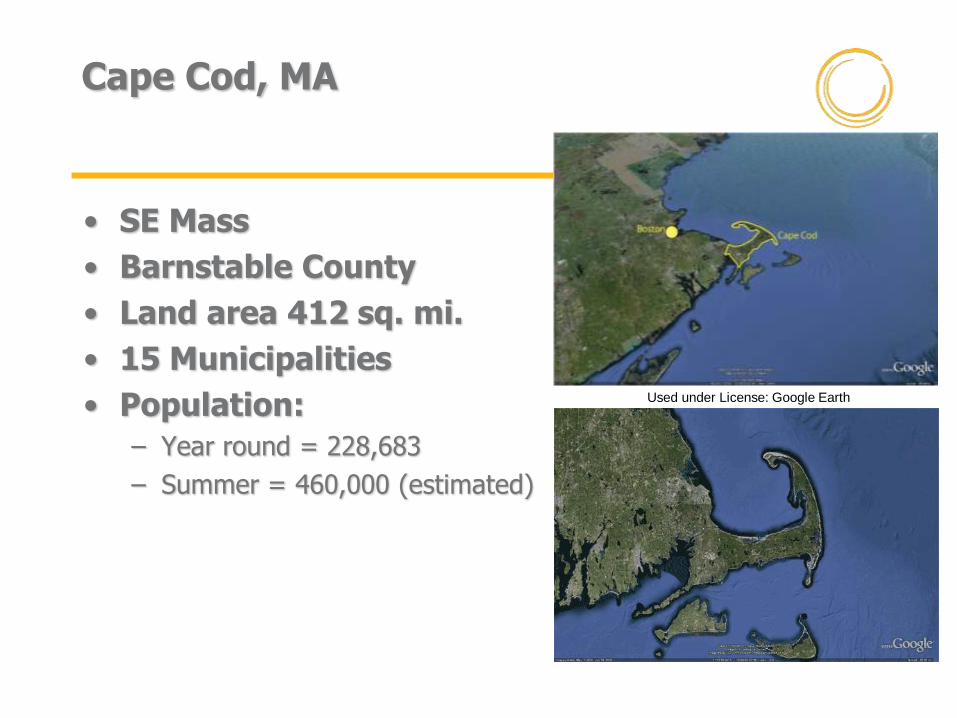
Cape Cod, MA
• SE Mass
• Barnstable County
• Land area 412 sq. mi.
• 15 Municipalities
• Population:
– Year round = 228,683
– Summer = 460,000 (estimated)
Used under License: Google Earth
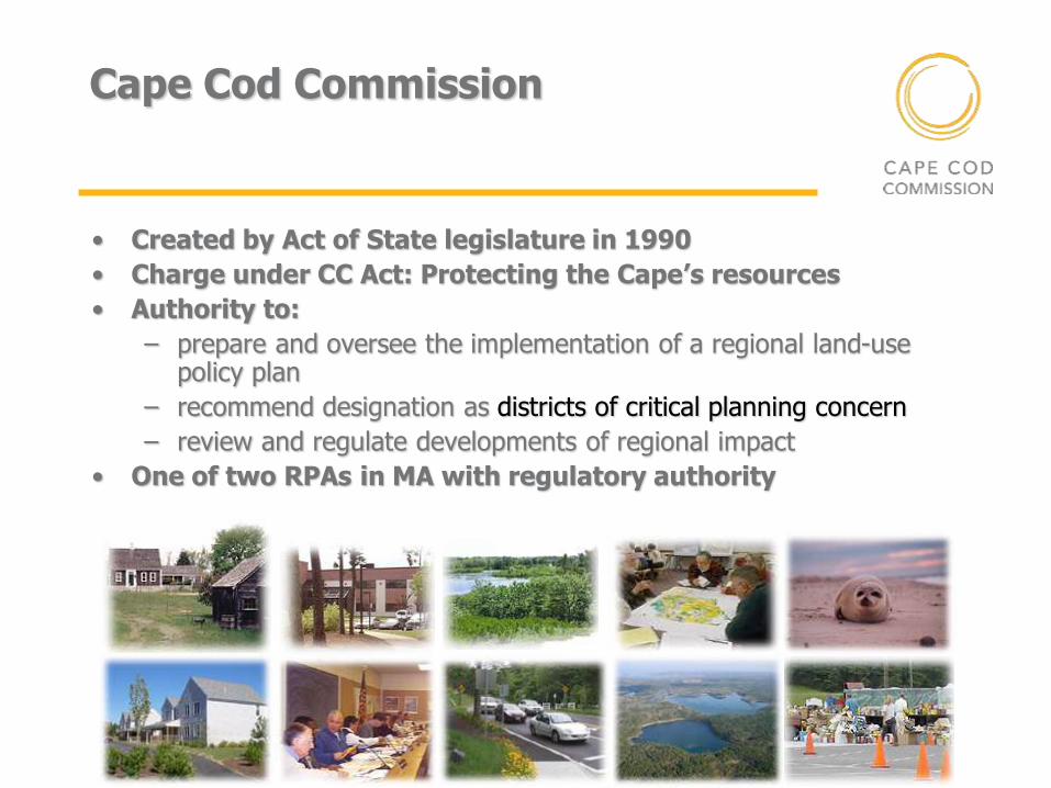
Cape Cod Commission
• Created by Act of State legislature in 1990
• Charge under CC Act: Protecting the Cape’s resources
• Authority to:
– prepare and oversee the implementation of a regional land-use policy plan
– recommend designation as districts of critical planning concern
– review and regulate developments of regional impact
• One of two RPAs in MA with regulatory authority
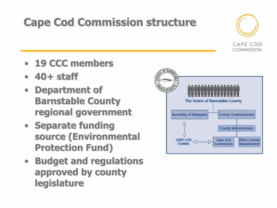
Cape Cod Commission structure
• 19 CCC members
• 40+ staff
• Department of Barnstable County regional government
• Separate funding source (Environmental Protection Fund)
• Budget and regulations approved by county legislature
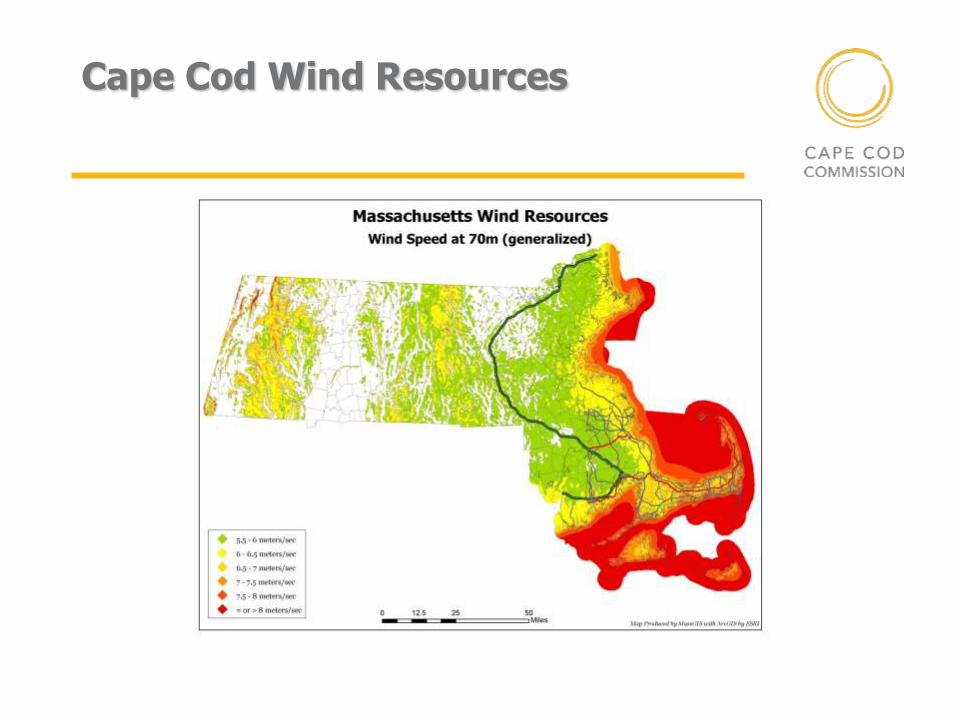
Cape Cod Wind Resources
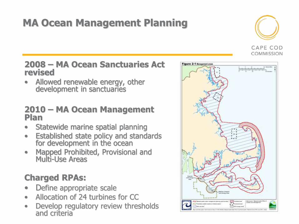
MA Ocean Management Planning
2008 – MA Ocean Sanctuaries Act revised • Allowed renewable energy, other
development in sanctuaries
2010 – MA Ocean Management Plan • Statewide marine spatial planning • Established state policy and standards
for development in the ocean • Mapped Prohibited, Provisional and
Multi-Use Areas
Charged RPAs: • Define appropriate scale
• Allocation of 24 turbines for CC • Develop regulatory review thresholds
and criteria
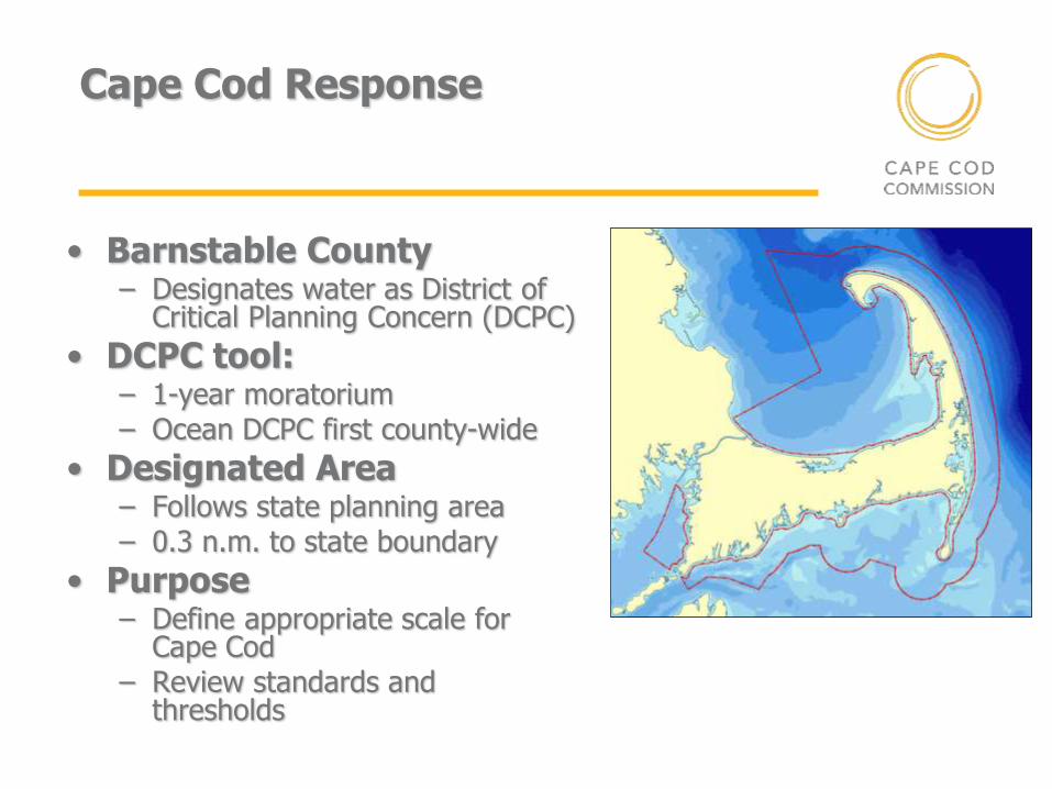
Cape Cod Response
• Barnstable County – Designates water as District of
Critical Planning Concern (DCPC)
• DCPC tool: – 1-year moratorium – Ocean DCPC first county-wide
• Designated Area – Follows state planning area – 0.3 n.m. to state boundary
• Purpose – Define appropriate scale for
Cape Cod – Review standards and
thresholds
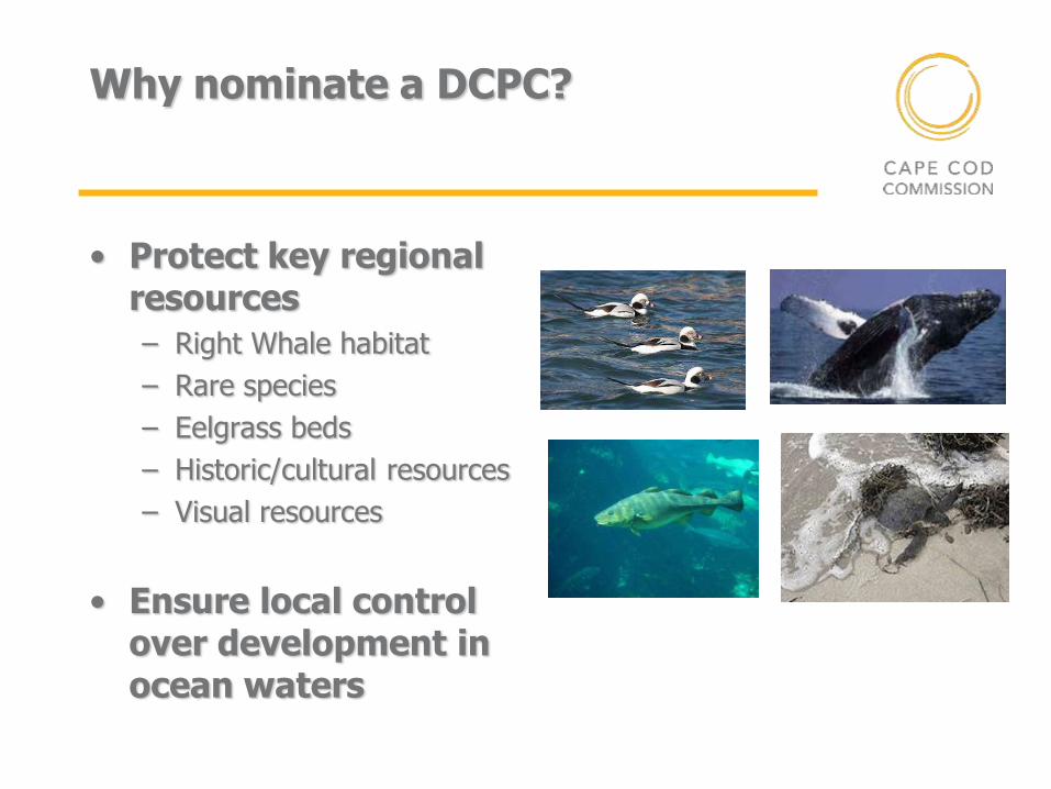
Why nominate a DCPC?
• Protect key regional resources
– Right Whale habitat
– Rare species
– Eelgrass beds
– Historic/cultural resources
– Visual resources
• Ensure local control over development in ocean waters
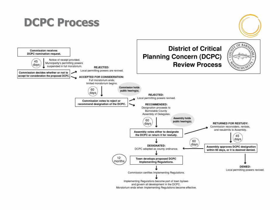
DCPC Process

Ocean Management Planning DCPC Appropriate Scale Factors
– Public trust
– Public safety
– Compatibility
– Proximity to shore
– Environmental protection
– Community benefit
– Appropriateness of technology and scale
– Visual considerations
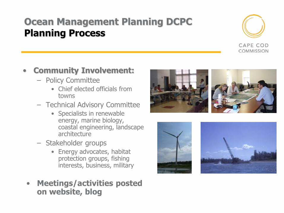
Ocean Management Planning DCPC Planning Process
• Community Involvement:
– Policy Committee • Chief elected officials from
towns
– Technical Advisory Committee • Specialists in renewable
energy, marine biology, coastal engineering, landscape architecture
– Stakeholder groups • Energy advocates, habitat
protection groups, fishing interests, business, military
• Meetings/activities posted on website, blog
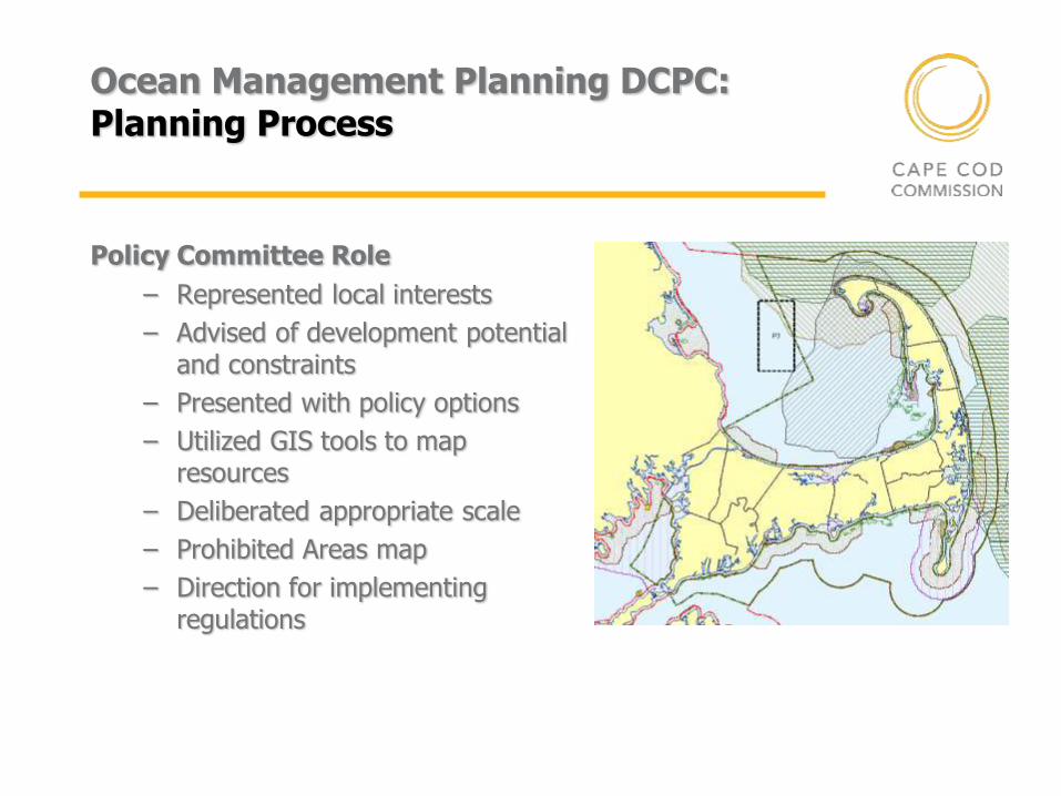
Ocean Management Planning DCPC: Planning Process
Policy Committee Role
– Represented local interests
– Advised of development potential and constraints
– Presented with policy options
– Utilized GIS tools to map resources
– Deliberated appropriate scale
– Prohibited Areas map
– Direction for implementing regulations
Cape Cod Ocean Management Plan Overview
Plan Content:
– Examines resources and activities within planning area
– Discusses priority conservation objectives
– Addresses new, allowable activities within the district
– Defines appropriate scale
– Recommends regulatory and planning actions to address goals of the plan
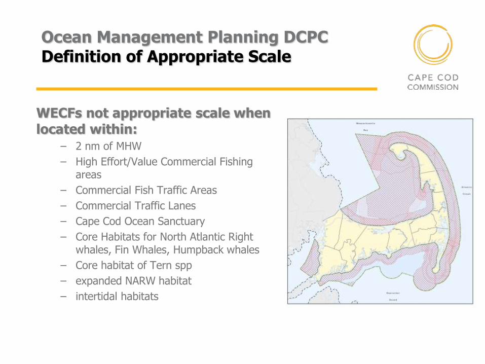
Ocean Management Planning DCPC Definition of Appropriate Scale
WECFs not appropriate scale when located within:
– 2 nm of MHW
– High Effort/Value Commercial Fishing areas
– Commercial Fish Traffic Areas
– Commercial Traffic Lanes
– Cape Cod Ocean Sanctuary
– Core Habitats for North Atlantic Right whales, Fin Whales, Humpback whales
– Core habitat of Tern spp
– expanded NARW habitat
– intertidal habitats
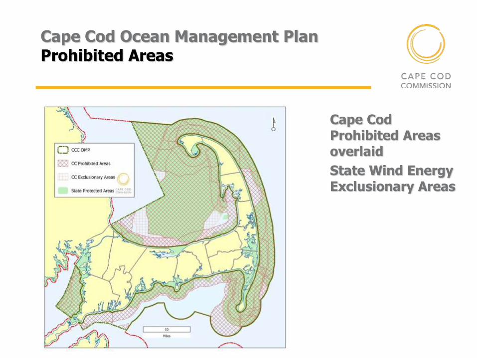
Cape Cod Ocean Management Plan Prohibited Areas
Not appropriate scale when – Located within 2 nm of MHW
– Located within High Effort/Value Commercial Fishing areas
– Located within Commercial Fish Traffic Areas
– Located within Commercial Traffic Lanes
– Located within Cape Cod Ocean Sanctuary
– Located within Core Habitats for North Atlantic Right whales, Fin Whales, Humpback whales
– Located within Core habitat of Tern spp
– Located within expanded NARW habitat
– Located within intertidal habitats
Cape Cod Prohibited Areas overlaid
State Wind Energy Exclusionary Areas
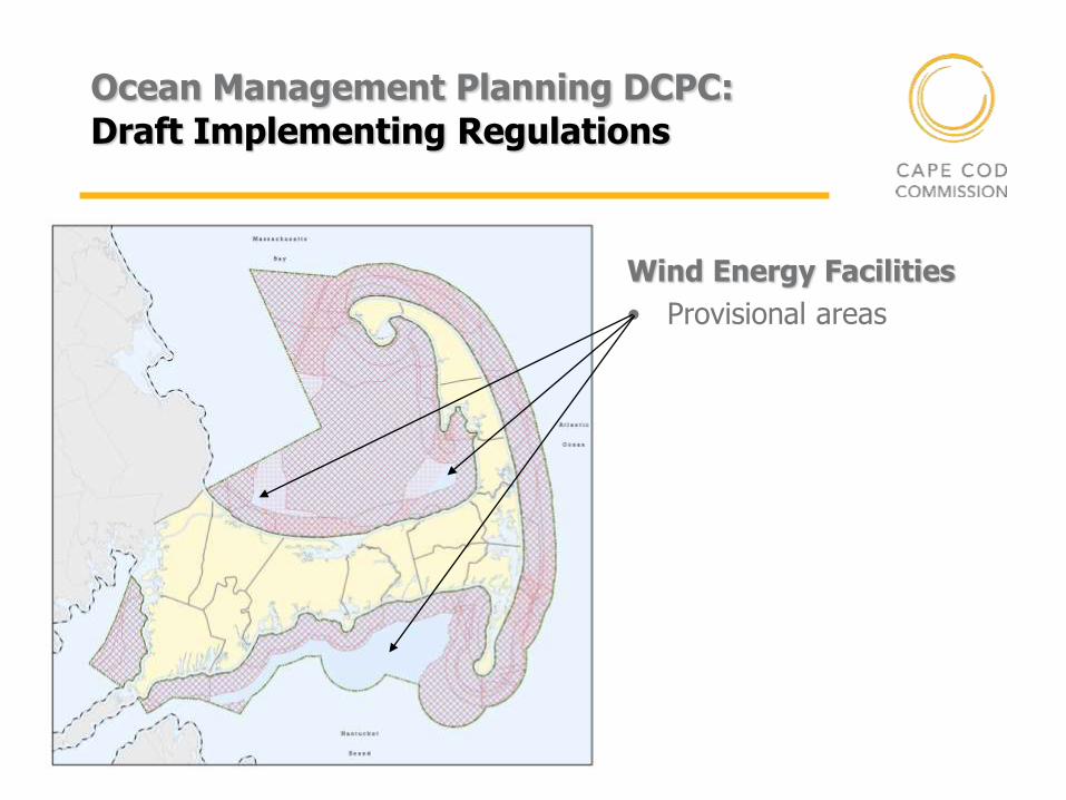
Ocean Management Planning DCPC: Draft Implementing Regulations
Wind Energy Facilities
• Provisional areas
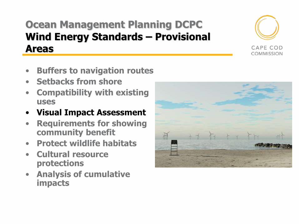
Ocean Management Planning DCPC Wind Energy Standards – Provisional Areas
• Buffers to navigation routes
• Setbacks from shore
• Compatibility with existing uses
• Visual Impact Assessment
• Requirements for showing community benefit
• Protect wildlife habitats
• Cultural resource protections
• Analysis of cumulative impacts
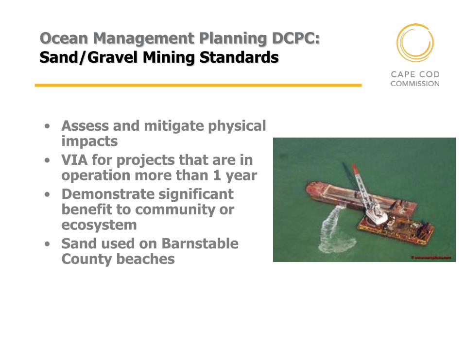
Ocean Management Planning DCPC: Sand/Gravel Mining Standards
• Assess and mitigate physical impacts
• VIA for projects that are in operation more than 1 year
• Demonstrate significant benefit to community or ecosystem
• Sand used on Barnstable County beaches
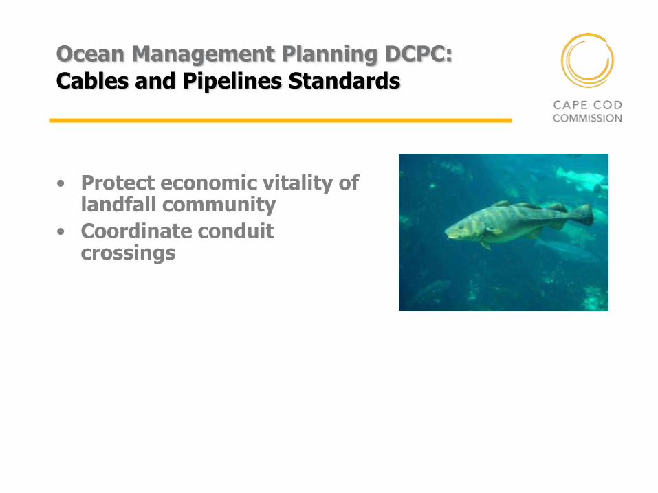
Ocean Management Planning DCPC: Cables and Pipelines Standards
• Protect economic vitality of landfall community
• Coordinate conduit crossings
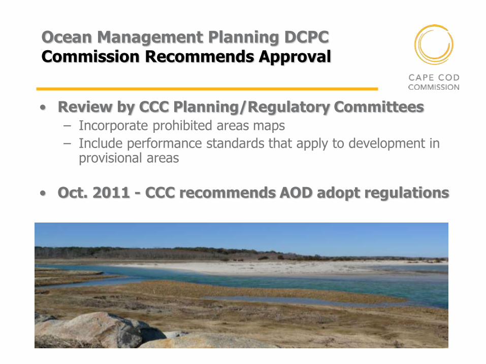
Ocean Management Planning DCPC Commission Recommends Approval
• Review by CCC Planning/Regulatory Committees
– Incorporate prohibited areas maps
– Include performance standards that apply to development in provisional areas
• Oct. 2011 - CCC recommends AOD adopt regulations
Ocean Planning DCPC Train Falls off the Track
• AOD fails to adopt implementing regulations
– Weighted vote
– WECF Prohibited Areas not restrictive enough
– Map ferry routes, fish resources
– Viewed Provisional Areas as “go-to” areas
– NIMBY: Cape Wind
• Leaves region without local control
Cape Cod Ocean Management Plan Back on Track
• state plan required review of WECFs as DRIs
• CCC adopts Cape Cod Ocean Management Plan
• Defines appropriate scale
• Pursues adoption of review standards for Sand and Gravel mining
• VIA Technical bulletin
Outcomes
• CC OMP responds to state mandate for review standards
• Cape Cod marine spatial planning effort
• Developed a VIA process for offshore development
• Plan didn’t affect local jurisdictions
• No imminent development threat
• Better outreach early on at local level
Contacts & Links
Sharon Rooney, AICP, RLA Chief Planner, Cape Cod Commission
http://www.capecodcommission.org/oceanplanning