north slope rapid ecoregional assessment final presentation to nsb planning commission september 24,...
TRANSCRIPT

North SlopeRapid Ecoregional Assessment
Final Presentation to NSB Planning CommissionSeptember 24, 2015

Contents of this presentation
•Who we are•Who we collaborate with• Project goals• Key take home messages•Moving forward
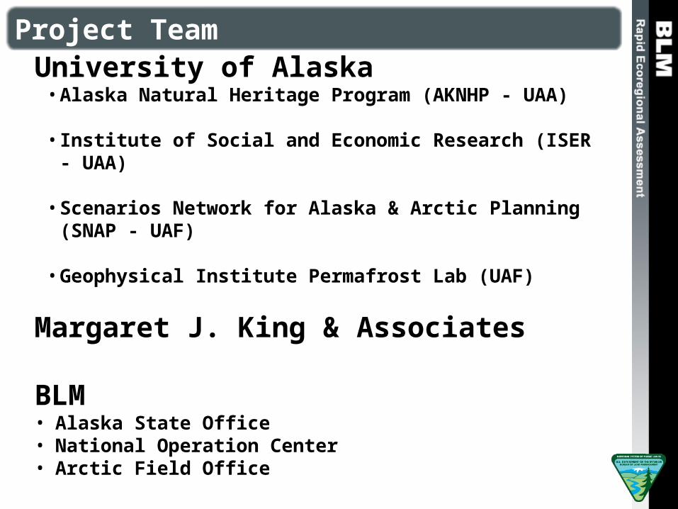
University of Alaska• Alaska Natural Heritage Program (AKNHP - UAA)
• Institute of Social and Economic Research (ISER - UAA)
• Scenarios Network for Alaska & Arctic Planning (SNAP - UAF)
• Geophysical Institute Permafrost Lab (UAF)
Margaret J. King & Associates
BLM• Alaska State Office• National Operation Center• Arctic Field Office
Project Team

Review Board
• BLM (Arctic Field Office, Alaska State Office, Fairbanks District Office, National Operations Center)• FWS (Arctic NWR, Arctic LCC)• USGS (Alaska Science Center, Climate Science
Center)• NPS (Central Alaska Network I&M)• State of Alaska (ADF&G, ADCCED, DNR)• North Slope Borough (Wildlife Department)• North Slope Science Initiative• US Arctic Research Commission• Michigan Tech University• University of Alaska Fairbanks

What is an REA?
Broadly speaking, REAs try to…
• Identify and map species and habitats in the environment and describe how they are changing over time, and what may be causing that change• Collect, compile, and synthesize data in a 18-
24 month window to provide a regional snap shot of conditions. They are rapid!• Focus on large areas and look at the really big
picture instead of a particular lake or river• Find data gaps critical to our understanding of
the region.

Land Status

Assessment Components
20 Regionally Important Management Questions
Aquatic and Terrestrial Species and Habitats
Fire, Invasive Species, Permafrost, Development

Nine Terrestrial Habitats
Tidal marshCoastal plain moist tundraCoastal plain wetlandSand sheet wetlandSand sheet moist tundra
Foothills tussock tundraAlpine dwarf shrubTidal marshMarine beach, barrier islands, and spits

Nine Terrestrial Habitats
Tidal marshCoastal plain moist tundraCoastal plain wetlandSand sheet wetlandSand sheet moist tundra
Foothills tussock tundraAlpine dwarf shrubTidal marshMarine beach, barrier islands, and spits

Three Aquatic Habitats and Five Fish Species
Deep connected lakesShallow connected lakesLarge and small streams
Dolly Varden Broad whitefishBurbotChum salmonArctic grayling

Invasive Species
Development
Change Agents
Permafrost
Fire

January Temperature – Long-term Warming
Winter warming will be greatest in the east, with a shift of about 8°F by the 2060s.

September Precipitation – Reduced Snowfall
Precipitation more likely to fall as rain than snow

Invasive Species
Currently highly resistant
Increased possibility of invasion by cold-tolerant non-native species

Human Footprint
Future human footprint estimates from North Slope Science Initiative's (NSSI) scenarios project
Overall landscape condition very high
Significant data gap

Cumulative Change
Change Agents:• January Temp• July Temp• Annual precipitation• Permafrost• Active Layer• Relative flammability• Human footprint• Invasive species
vulnerability

Warming Impacting Arctic Foxes
Change in mean annual temperature from 2010-2060 within modeled distribution of Arctic fox.
Warmer temperatures = less snow in late winter
Less prey
Increase competition with red fox

Increased Shrub Cover
Increased air temperature and precipitation likely to increase shrub cover
Increased shrubs may increase food availability for herbivores like moose
Increased shrub cover may increase likelihood of fire
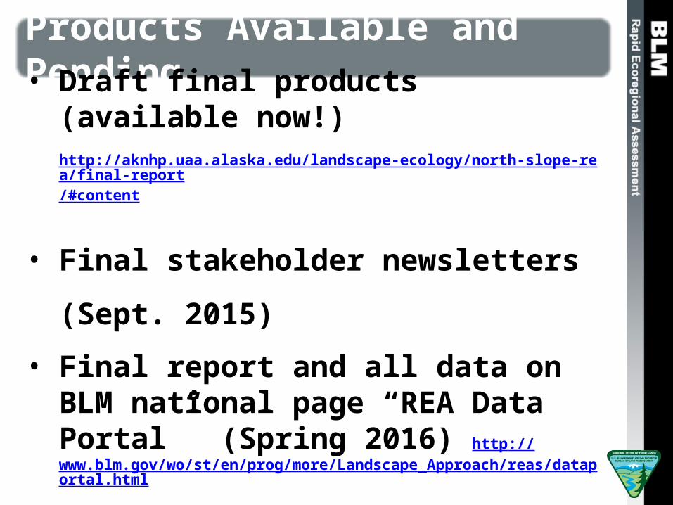
Products Available and Pending
• Draft final products (available now!)http://aknhp.uaa.alaska.edu/landscape-ecology/north-slope-rea/final-report/#content
• Final stakeholder newsletters (Sept. 2015)
• Final report and all data on BLM national page “REA Data Portal” (Spring 2016) http://www.blm.gov/wo/st/en/prog/more/Landscape_Approach/reas/dataportal.html

Jamie Trammell (907) 786-4865, [email protected]
Scott Guyer (907) 271-3284, [email protected]
Questions?
Observations?
Comments?

Caribou
Length of the growing season will increase by about 2 weeks• May increased nutrient value of forage with peak lactation increasing calf
survival • May result in calves born after most of food has emerged, reducing calf
survival