national highway-7 in india - conferences.iaia.org in india_ar_vbm.pdf · monsoon trends of traffic...
TRANSCRIPT

National Highway-7 in India
Lessons for conservation and development
Asha RajvanshiProfessor & Head, EIA Cell
Wildlife Institute of India
Florence, Italy
22 April 2015
Vinod B. Mathur,Director,
Wildlife Institute of India
Presentation outline
Introduction
Research objectives
Research methods
Results
Conclusions
Recommendations
Acknowledgements

http://upload.wikimedia.org/wikipedia/commons/5/5b/Glanum_Roman_Road.JPG


India has the third largest road
network in the world (4.2 million
km)
26,000 km through forested
landscapes

www.wti.org.in
Roads, not just for humans
http://ajaysekher.net/tag/biking-kerala/

SRINAGAR
VARANASI
NAGPUR
HYDERABAD
BANGALORE
DELHI
KANYAKUMARI
http://tamarindtours.in/Images/destinations/large/Pench_Tigers_In_Pench_National_Park.jpg
Study area

Average annual daily traffic:
3035 274 vehicle/day
0
50
100
150
200
250
1 2 3 4 5 6 7 8 9 10 11 12 13 14 15 16 17 18 19 20 21 22 23 24
Hour of day
Winter Summer Moonsoon
No
.o
f veh
icle
s

How are wild animals distributed along the road side?
What is the spatio-temporal pattern of road use?
What factors influence vulnerability and animal
mortality?
What is the present use of animal crossings and how
suitable they are?
What are the mitigation options for road induced
impacts?
What is the learning for conservation and road
planners?
Research objectives

Roadside counts for assessing the use
of road verge and adjacent habitats by
wild animals (mammals,birds and
reptiles)
24 hours monitoring for assessing road
use by animals (3 days in every month)
Direct observations of the animal
movements on the road and across
Indirect evidences of animals in the
road verge (5-10m)
Road verge
METHODS: Assessment of road and
roadside use by wild animals

Estimating road kills: Road survey (effort of 870 km)
Identification/ Grouping
Prediction of fatality hotspots: Kernel density
Factors influencing road kills:
• Visibility
• Distance to cover
• Distance to water
• Distance to underpass
• Distance to drainage
• Distance to agriculture
• Altitude and slope
METHODS: Assessment of mortality

METHOD: Permeability of wildlife passage
Direct observations
PIPs
Camera trapping
Source: Bivash Pandav, WII
Source: Bivash Pandav, WII

RESULTS

Summer MonsoonWinter
Roadside habitat use by animals
Animal sightings in the road verge

Indirect animal evidences along the road verge
Summer MonsoonWinter

Day time
3 vehicles./ min
Night time
1.3 vehicles./ min
0
50
100
150
200
250
300
1
to
2
2
to
3
3
to
4
4
to
5
5
to
6
6
to
7
7
to
8
8
to
9
9
to
10
10
to
11
11
to
12
12
to
13
13
to
14
14
to
15
15
to
16
16
to
17
17
to
18
18
to
19
19
to
20
20
to
21
21
to
22
22
to
23
23
to
24
24
to
1
Time
No
.of
veh
icle
s /
ho
ur
Tuesday
Friday
Sunday
0.000
0.020
0.040
0.060
0.080
0.100
0.120
0.140
1
to
2
2
to
3
3
to
4
4
to
5
5
to
6
6
to
7
7
to
8
8
to
9
9
to
10
10
to
11
11
to
12
12
to
13
13
to
14
14
to
15
15
to
16
16
to
17
17
to
18
18
to
19
19
to
20
20
to
21
21
to
22
22
to
23
23
to
24
24
to
1
Time
En
co
un
ter
rate
/ k
m
Summer
Winter
Monsoon
Trends of traffic volume and animal sightings
Traffic volume
Animal sightings

Road related mortality of mammals
Mammalian species are especially vulnerable to road network because they have
large spatial requirements, small populations, tend to live at low densities and
occupy small geographic range or exhibit migratory behavior (Ball et al. 2001;
Gittleman et al. 2003).
Large/ mediumanimals
n=218%
Smallanimals
n=218%
Primatesn=7728%
Rodentsn=13851%
Batsn=155%

ChitalSambar
Jungle catJackal Fox
Hare Porcupine Palm civet
272 kills
(15 species)
in 430 days

Location of road induced kills of mammals Large and medium sized
mammals killed more
near water bodies
Fatality clusters of small
mammals near cropland
and water sources
Primate kills located
mostly near crop land
and water sources
Rodent kills located all
along the road
Bat kills mostly near
water source

Seiler-2001

Impact of NH-7 on snakes
Snakes represent an ideal target group for studying impacts of roads
because of the breadth of ecological niches represented among snake sp.
(Ernst & Ernst 2003)

490 kills
24 species
in 430 days
Common krait
Bamboo pit viper Barred wolf snake Beaked worm snake
Checkered keel back
Bronzeback tree snake
Common cat snake
Trinket snake

Impacts of NH-7 on birds
Bird hits affect greater number of individuals in the population when
compared to factors such as predation (Bujoczek et al. 2011) and
hunting (Forman & Alexander 1998).

Barred jungle owlet
Jungle babbler
Jungle
crow
Gray night jar
143 bird hits
(16 species)
in 430 days
Jungle owletPlum-headed
parakeet Rose-ringed
parakeet
Indian roller

Permeability of culverts for movement of mammals
Only 7 species of the 13 species used the
culverts.
Use is very limited (0.36 animal /culvert/day)
based on the total 540 days monitoring effort.
Alternative structures needed to address the
connectivity issues for animal movement across
the road.

RECOMMENDATIONS

Use of animal passes is
strongly influenced by
openness ratio and biotic
disturbance
Size and design of passages
must correspond with
ecological requirements of
different species

Mitigation measures for road induced mortality
1. Speed control
2. Temporary road closure
3. Regulatory guidelines for
laying/upgrading road through
sensitive habitats
4. Prescriptions for suitable verge width
5. Restrictions on stopping/ parking of
vehicles in vulnerable segments of the
highway
Regulatory or Prescriptive measures On-site construction and habitat
management
Measures to alter human
behavior
Measures to alter animal
responses to road
1. Clearing vegetation for improving
visibility along road
2. Erection of animals proof fence
3. Wildlife detection systems
4. Construction of appropriately
designed and positioned culverts
5. Retrofitting existing drainage culverts
to facilitate wildlife crossing by
animals
Measures for addressing road induced mortality

Creation of alternative sites for thermoregulation
Measures for reducing snake mortality

(i) Managing roadside habitat to reduce
attractiveness for birds
(ii) Encourage birds to fly higher above the
roadway
(iii) Maintaining a clear zone, devoid of trees
and shrubs to prevent reptiles and rodents
become prey for birds patrolling for food.
Strategies for reducing mortalities


Lessons learned for conservation and
development
Piecemeal approach in planning : Bigger threat for conservation
Road in sensitive landscapes to be planned as a single corridor
Combining conservation science and road building critical for
connecting people and conserving wildlife in natural areas
There is a merit in retaining ‘roadless areas’ in sensitive habitats
where mitigation measures are hard to enforce
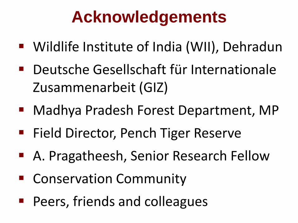
Acknowledgements
Wildlife Institute of India (WII), Dehradun
Deutsche Gesellschaft für Internationale Zusammenarbeit (GIZ)
Madhya Pradesh Forest Department, MP
Field Director, Pench Tiger Reserve
A. Pragatheesh, Senior Research Fellow
Conservation Community
Peers, friends and colleagues

THANK YOU
Paul Bunyard:: Solent News and Photo Agency