-mapserver -arcgisserver (ags) · -mapserver-arcims(internet mapserver)-arcgisserver (ags)-etc . ....
TRANSCRIPT
1
By Divyang M. Trivedi
4th Sem. , M.Sc (FIT)
Fh-Eberswalde.
What is Web Mapping ?
-Generating and Delivering maps online (over network
internet / intranet)
- Different devices can be used to view / access web
mapping applications (Desktops, notebooks, Mobile
phones, PDAs etc).
What is a Server ?
- a server technology is a solution which serves data,
printers, faxes, computers etc.
- together with clients; the server composes client /
server network.
Network
2
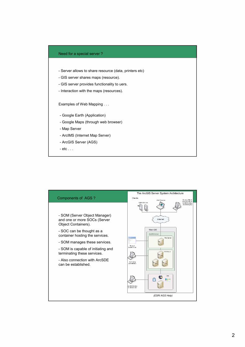
Need for a special server ?
- Server allows to share resource (data, printers etc)
- GIS server shares maps (resource).
- GIS server provides functionality to uers.
- Interaction with the maps (resources).
Examples of Web Mapping . . .
- Google Earth (Application)
- Google Maps (through web browser)
- Map Server
- ArcIMS (Internet Map Server)
- ArcGIS Server (AGS)
- etc . . .
Components of AGS ?
(ESRI AGS Help)
- SOM (Server Object Manager)
and one or more SOCs (Server
Object Containers).
- SOC can be thought as a
container hosting the services.
- SOM manages these services.
- SOM is capable of initiating and
terminating these services.
- Also connection with ArcSDE
can be established.
3
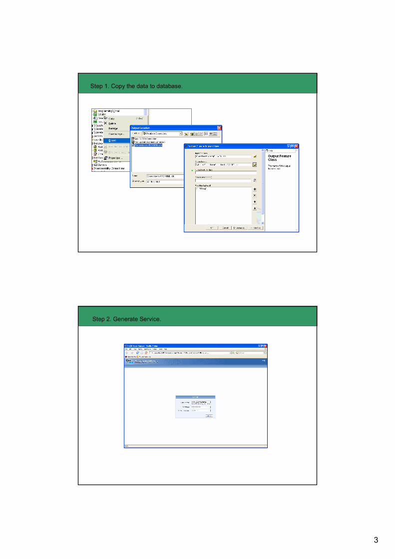
Step 1. Copy the data to database.
Step 2. Generate Service.
4
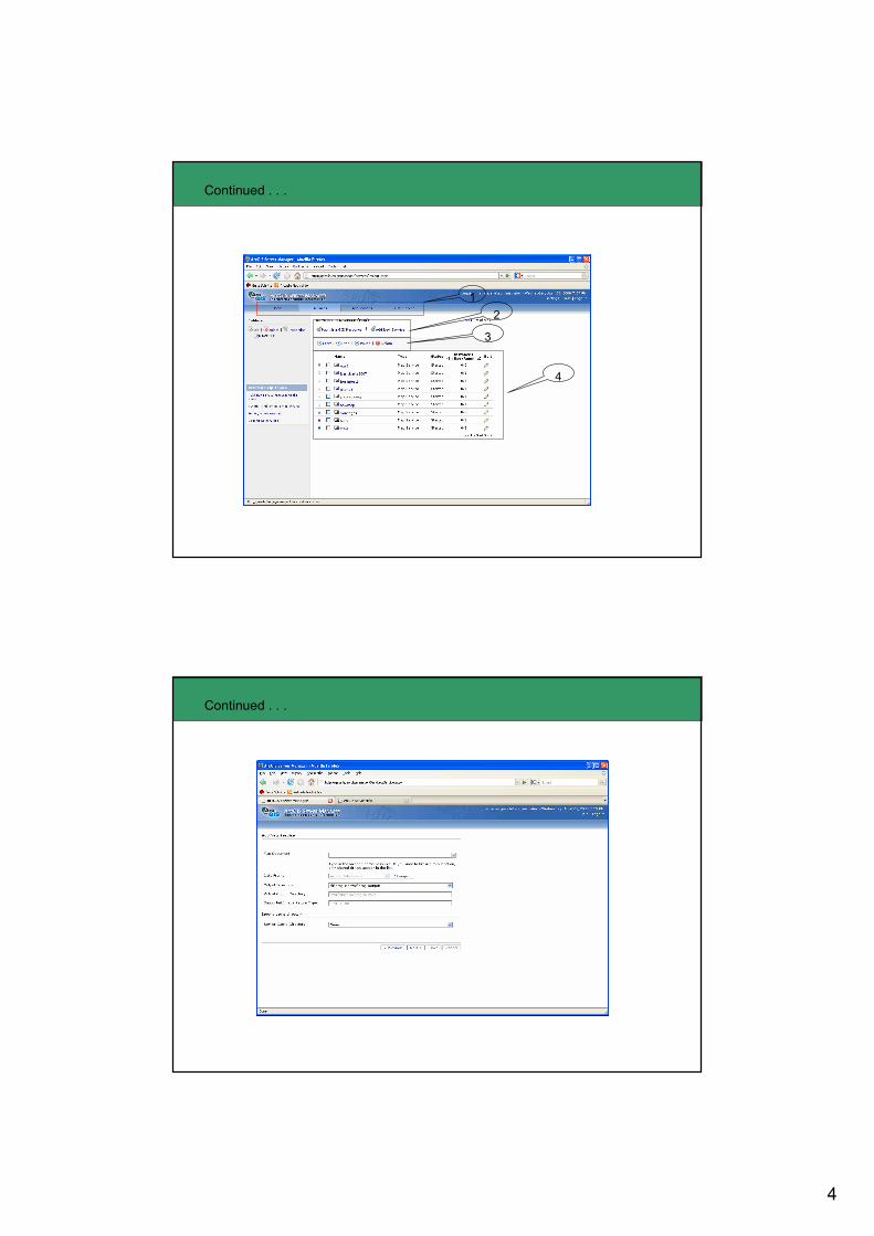
Continued . . .
1
2
3
4
Continued . . .
5
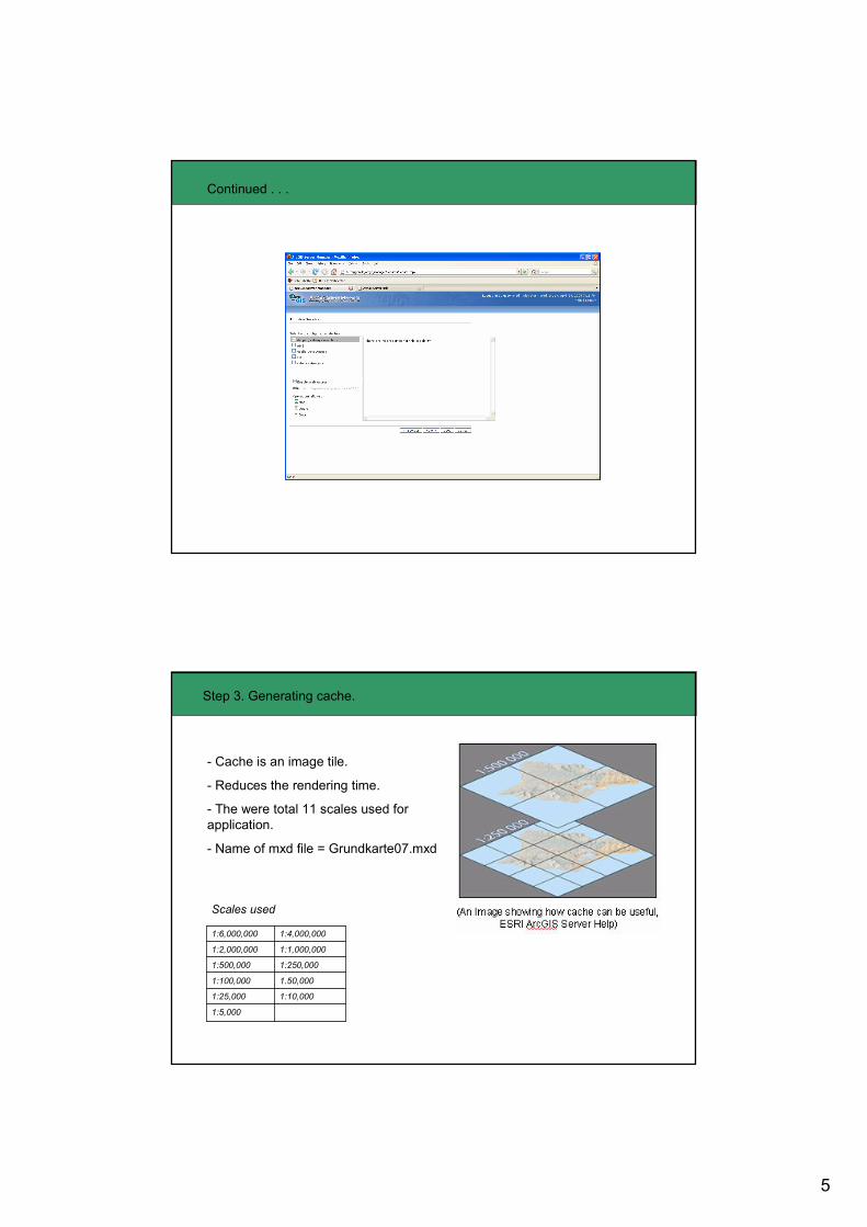
Continued . . .
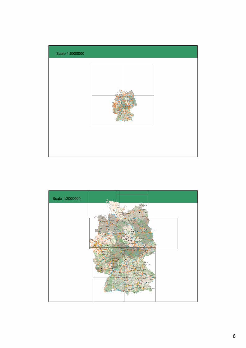
Step 3. Generating cache.
- Cache is an image tile.
- Reduces the rendering time.
- The were total 11 scales used for
application.
- Name of mxd file = Grundkarte07.mxd
Scales used
1:5,000
1:10,0001:25,000
1.50,0001:100,000
1:250,0001:500,000
1:1,000,0001:2,000,000
1:4,000,0001:6,000,000
6
Scale 1:6000000
Scale 1:2000000

7
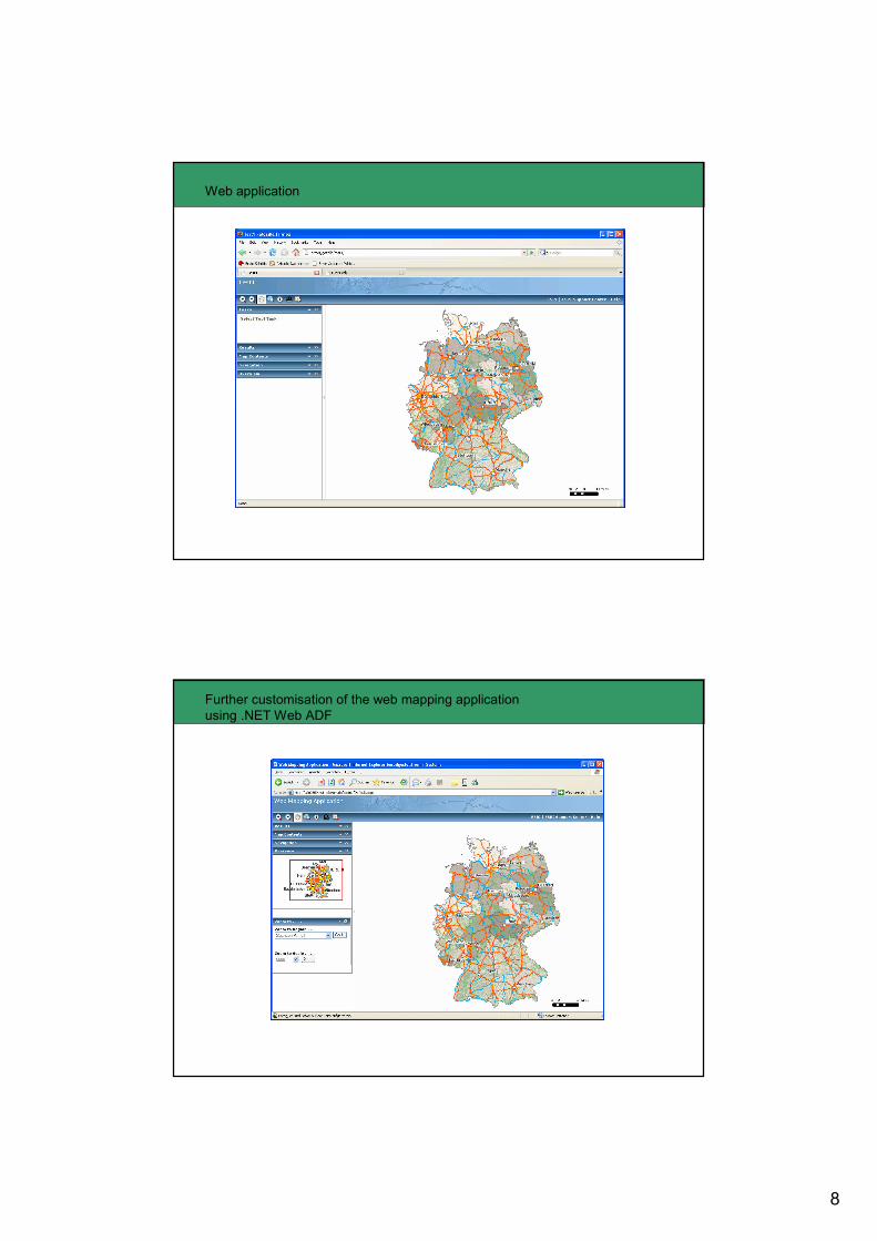
Step 4. Creating web application.
Continued . . .
8
Web application
Further customisation of the web mapping application
using .NET Web ADF
9
1) ESRI Webpage
http://www.esri.com
2) ESRI Developer Network
http://edn.esri.com/
3) ArcGIS Server 9.2 help.
References
Questions !!!