how to use a lensatic compass - boy scout troop 501€¦ · how to use a lensatic compass ... now...
TRANSCRIPT
How to Use a Lensatic Compass
Protractor
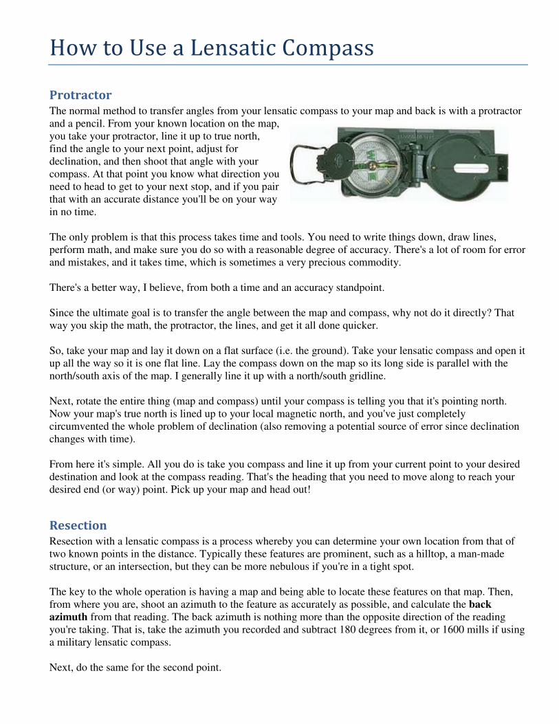
The normal method to transfer angles from your lensatic compass to your map and back is with a protractor
and a pencil. From your known location on the map,
you take your protractor, line it up to true north,
find the angle to your next point, adjust for
declination, and then shoot that angle with your
compass. At that point you know what direction you
need to head to get to your next stop, and if you pair
that with an accurate distance you'll be on your way
in no time.
The only problem is that this process takes time and tools. You need to write things down, draw lines,
perform math, and make sure you do so with a reasonable degree of accuracy. There's a lot of room for error
and mistakes, and it takes time, which is sometimes a very precious commodity.
There's a better way, I believe, from both a time and an accuracy standpoint.
Since the ultimate goal is to transfer the angle between the map and compass, why not do it directly? That
way you skip the math, the protractor, the lines, and get it all done quicker.
So, take your map and lay it down on a flat surface (i.e. the ground). Take your lensatic compass and open it
up all the way so it is one flat line. Lay the compass down on the map so its long side is parallel with the
north/south axis of the map. I generally line it up with a north/south gridline.
Next, rotate the entire thing (map and compass) until your compass is telling you that it's pointing north.
Now your map's true north is lined up to your local magnetic north, and you've just completely
circumvented the whole problem of declination (also removing a potential source of error since declination
changes with time).
From here it's simple. All you do is take you compass and line it up from your current point to your desired
destination and look at the compass reading. That's the heading that you need to move along to reach your
desired end (or way) point. Pick up your map and head out!
Resection
Resection with a lensatic compass is a process whereby you can determine your own location from that of
two known points in the distance. Typically these features are prominent, such as a hilltop, a man-made
structure, or an intersection, but they can be more nebulous if you're in a tight spot.
The key to the whole operation is having a map and being able to locate these features on that map. Then,
from where you are, shoot an azimuth to the feature as accurately as possible, and calculate the back
azimuth from that reading. The back azimuth is nothing more than the opposite direction of the reading
you're taking. That is, take the azimuth you recorded and subtract 180 degrees from it, or 1600 mills if using
a military lensatic compass.
Next, do the same for the second point.

Now, take your map and draw lines (at the back azimuth angle you calculated) on the map through the
features that you're using as reference points. Those lines will intersect at some point if you're done your
resection properly. The point where those lines cross is your location, and the accuracy of that location is
only as high as the readings and calculations that you've made.
To check your process, and even add a little more accuracy to it, find another feature and perform the same
steps. That line should intersect reasonable close to where the other lines crossed. The more back azimuths
you can draw, the more accurate your location will be.
This, in a nutshell, is how to perform a resection with a lensatic compass.