hobsons bay strategic bicycle plan 2013-2017 · page | 4 implementation plan the hobsons bay...
TRANSCRIPT
Page | 1
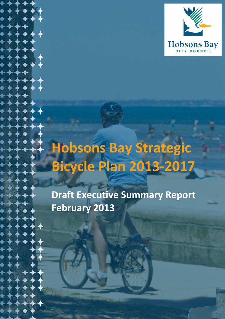
Hobsons Bay Strategic Bicycle Plan 2013-2017 Draft Executive Summary Report February 2013
Page | 2
Introduction
Hobsons Bay City Council has recently
reviewed the Hobsons Bay Strategic Bicycle
Plan 2003 to determine its status and identify
any outstanding actions.
A technical report was produced during the
review and this document forms the basis for
the revised Hobsons Bay Bicycle Network and
associated initiatives.
The revised bicycle plan (Hobsons Bay
Strategic Bicycle Plan 2013-2017) builds on
the recommendations of the previous plan,
the Hobsons Bay Integrated Transport
Strategy and the Council Plan 2009-2013.
Review methodology
The review process included:
Establishing existing conditions and
analysing background information;
Establishing the current extent of the
Hobsons Bay Bicycle Network;
Assessing potential projects for inclusion in
a new plan to further develop the bicycle
network; and
Developing a Bicycle Plan Report with
recommendations for the 2013-2017
period.
Consultation with cyclists included:
A Bike Scope Survey including a Pin Point
tool (online);
Surveys and user counts of trails from
2010-2012;
A submission from Bay West Bug Group;
and
Analysis of written requests, complaints
from cyclists and walkers and budget
submissions.
Site visits included:
More than 120 sites inspected by
members of the review team to
determine existing conditions and to
identify issues and problems.
Key issues
The review of the Strategic Bicycle Plan
identified a number of key issues:
There are many gaps remaining within the
existing bicycle network, both on and off
road routes;
Inadequate resources to undertake
reactive and preventative maintenance of
assets;
Decline in levels of funding and funding
programs provided by the state
government over recent years is affecting
the development of specific projects and
the connective bicycle network;
A number of major projects are too
large/costly for the Council to fund alone
and require various approvals often from
multiple authorities;
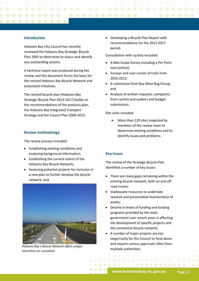
Hobsons Bay’s Bicycle Network offers unique
viewsthat are unrivalled.
Page | 3
A number of major projects are the
responsibility of other government
agencies who rate higher priority projects
in other municipalities ahead of projects in
Hobsons Bay;
Inadequate directional and user etiquette
signage on the shared trails;
Lack of local route signage in various
locations for the on-road network; and
Steady increase in the numbers of cyclists
and range of cyclists (e.g. commuters,
sports training, recreational) using the
network, with more conflict on off-road
trails between cyclists and pedestrians/dog
walkers reported.
Hobsons Bay Strategic Bicycle Plan 2013-
2017
This plan seeks to further build on the existing
bicycle network to develop a highly
connective bicycle network. Since 2003 a
number of ‘missing’ links in the network
(bicycle routes) have been identified and
projects completed. However there are still
numerous projects to be undertaken in order
for connections to be completed so that
commuter cyclists, recreational cyclists, sports
cyclists, and tourists can move to and from
major focal points within Hobsons Bay.
Funding sources/opportunities
The overall development of the bicycle
network within Hobsons Bay relies on the
future funding of network improvements by
government agencies. The provision of funds
for major projects undertaken solely by the
state government, and of funding programs
for jointly funded projects with Local
Government Authorities (LGAs) has declined
over recent years. This has significantly
affected the rate of development of the
bicycle network and has consequently shifted
the burden of full funding of many projects to
LGAs.
The bicycle plan acknowledges that VicRoads
is responsible for fully funding the
development of the Bicycle Priority Routes
(BPRs) within the Principal Bicycle Network
(on-road). It also acknowledges that Parks
Victoria no longer funds projects jointly with
LGAs for the development of the
Metropolitan Trail Network (off road routes).
The Hobsons Bay Strategic Bicycle Plan 2013-
2017 does not recommend that the Council
assumes responsibility for funding projects
that would have previously been funded by
the state government.
The plan recommends that the Council
pursues funding opportunities from external
agencies for specific projects where
appropriate, and works in partnership with
other organisations and LGAs to leverage
funding from identified sources.
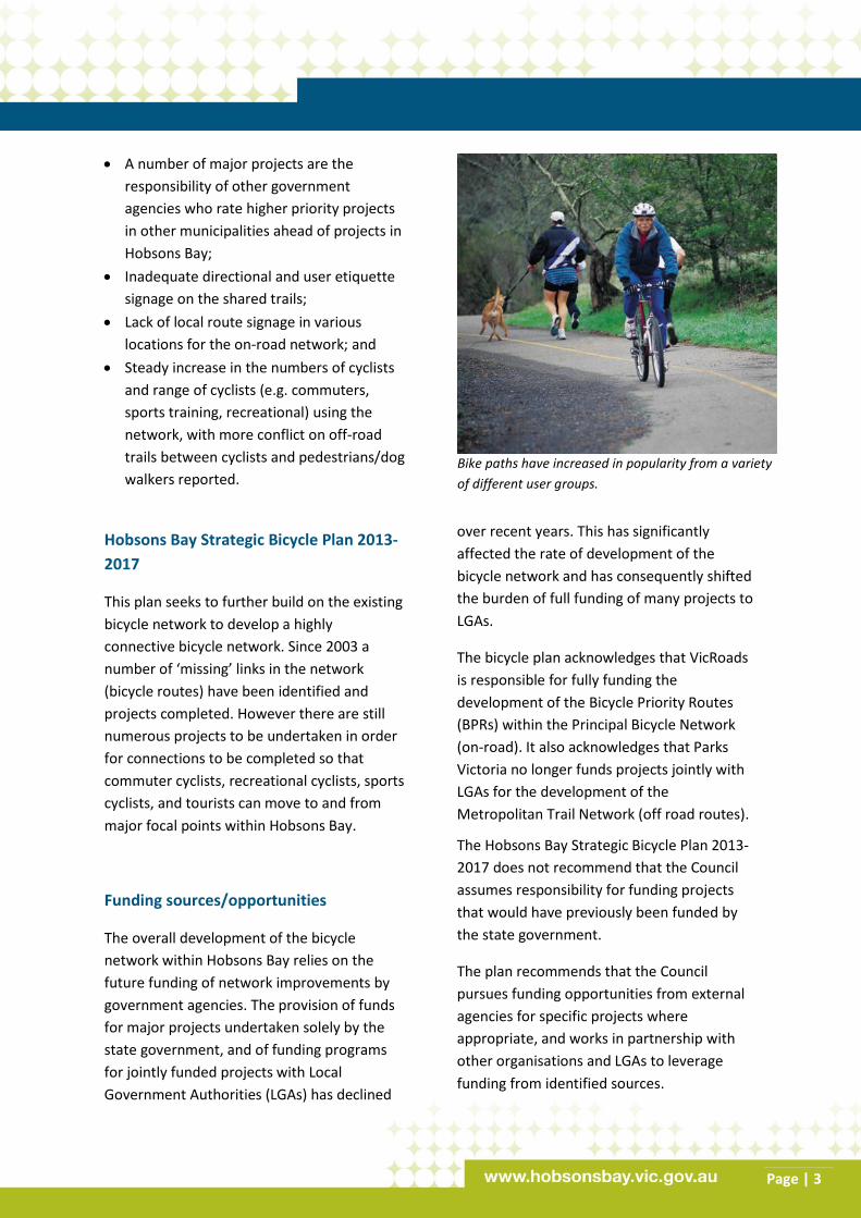
Bike paths have increased in popularity from a variety
of different user groups.
Page | 4
Implementation plan
The Hobsons Bay Strategic Bicycle Plan 2013-
2017 has identified numerous projects and
priorities that comprise the development of
the bicycle network and promote safe and
appropriate cycling use.
The high priorities include:
Completion of the Bay Coastal Trail, in
particular at Maddox Road/JT Gray
Reserve, and Greenwich Reserve through
to the rear of the Newport Power
Station;
Completion of sections of the Laverton
Creek Trail and Skeleton Creek Trail;
Planning and design for complex areas of
the proposed Kororoit Creek Trail;
Improving Trail Signage (directional and
user etiquette);
Completion of new on road bicycle lanes
on Blyth Street, Altona, Hall Street,
Spotswood and North Road, Newport;
Improving local route signage for on-road
routes;
Advocate for government agencies to
implement major projects in Hobsons
Bay for the Principal Bicycle Network (on
road routes), including VicRoads, and for
the Metropolitan Trail Network (off road
routes), including the Victorian
Department of Transport; and
Advocate for external funding programs
to be made available to jointly fund the
development of local bicycle routes.
Recommendations
The development of a highly connective
bicycle network within Hobsons Bay should
continue over the 2013-2017 period, guided
by the Proposed Bicycle Network 2013 (see
map attached) which includes refinements
resulting from the review of the Hobsons Bay
Strategic Bicycle Plan 2003.
Other key recommendations, to be
undertaken during 2013-2017 are:
- Shared trail works of high priority of an
estimated value of $3.6 million;
- On-road works of high priority of an
estimated value of $430,000;
- On-road local route signage of an
estimated value of $55,000;
- Off-road directional and etiquette signage
of an estimated value of $100,000;
- Improvements to information provided on
the municipal bicycle network, bicycle road
safety, safe cycling, appropriate use of
shared trails etc. – the Council’s website,
maps, phone apps, and brochures;
- Funding submissions to external
agencies/federal government for major
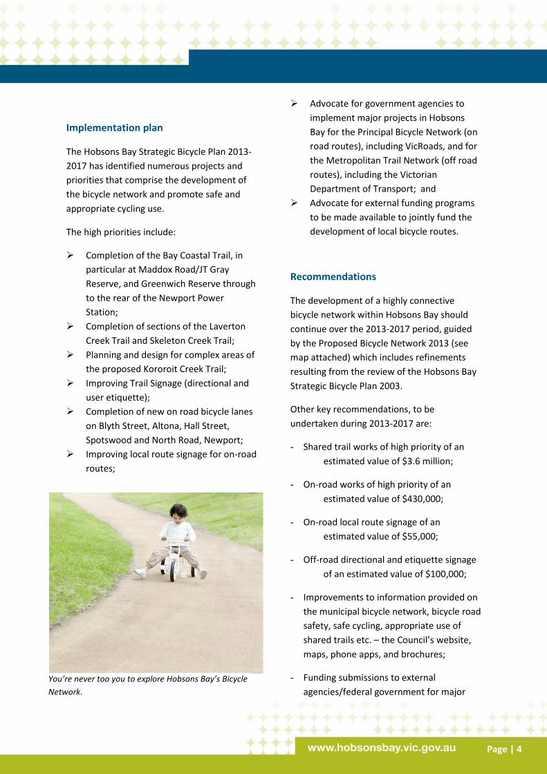
You’re never too you to explore Hobsons Bay’s Bicycle
Network.
Page | 5
construction projects, end of journey
facilities such as bike parking facilities, and
safe cycling initiatives;
- Participation in the Western Metro
Melbourne Regional Trails Strategy;
- Development of a municipal strategy to
integrate walking and cycling with health
and well being initiatives, access to public
transport and to major destination nodes;
- Ongoing input into Victoria’s Cycling
Strategy 2013-2023 and federal
government strategies to influence
outcomes for Hobsons Bay;
- Improved system of maintaining assets –
additional and specific funding, timeliness
of works, a revised process to ‘close the
loop’ on maintenance works, consistent
management approach with appropriate
resourcing;
- Encourage and support commuter, sports
training and recreational cyclists use of the
links of the Bay Coastal Trail with the Yarra
Trail (Westgate Punt or other alternative);
and
- Annual review of the plan to monitor
progress of implementation.
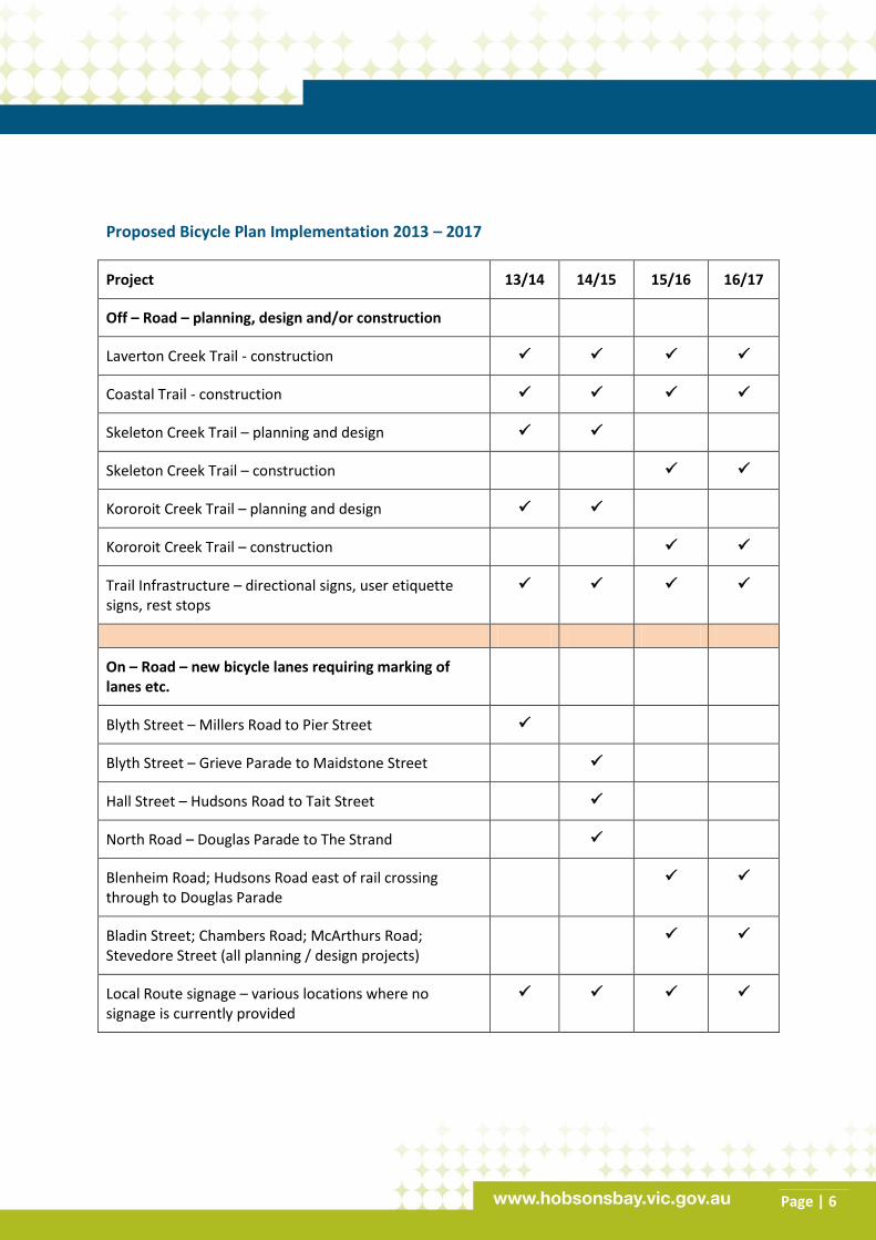
A table on the Hobsons Bay Strategic Bicycle
Plan 2013-2017 recommendations can be
found on the next page.
Further information
To see the technical report, visit
www.hobsonsbay.vic.gov.au, email
[email protected] or call 9932
1124.
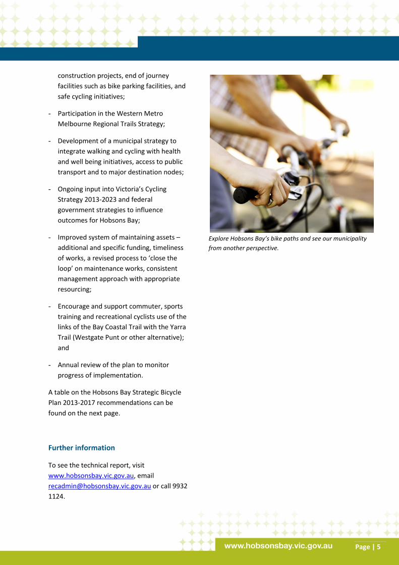
Explore Hobsons Bay’s bike paths and see our municipality
from another perspective.
Page | 6
Proposed Bicycle Plan Implementation 2013 – 2017
Project 13/14 14/15 15/16 16/17
Off – Road – planning, design and/or construction
Laverton Creek Trail - construction
Coastal Trail - construction
Skeleton Creek Trail – planning and design
Skeleton Creek Trail – construction
Kororoit Creek Trail – planning and design
Kororoit Creek Trail – construction
Trail Infrastructure – directional signs, user etiquette signs, rest stops
On – Road – new bicycle lanes requiring marking of lanes etc.
Blyth Street – Millers Road to Pier Street
Blyth Street – Grieve Parade to Maidstone Street
Hall Street – Hudsons Road to Tait Street
North Road – Douglas Parade to The Strand
Blenheim Road; Hudsons Road east of rail crossing through to Douglas Parade
Bladin Street; Chambers Road; McArthurs Road; Stevedore Street (all planning / design projects)
Local Route signage – various locations where no signage is currently provided