guidelines for preparation of preliminary water balance...
TRANSCRIPT
7
Guidelines for Preparation of Preliminary Water Balance Reports (As finalised by Task Force for ILR
in 4th meeting)
8
NATIONAL WATER DEVELOPMENT AGENCY GUIDELINES FOR THE PREPARATION OF PRELIMINARY WATER
BALANCE REPORT
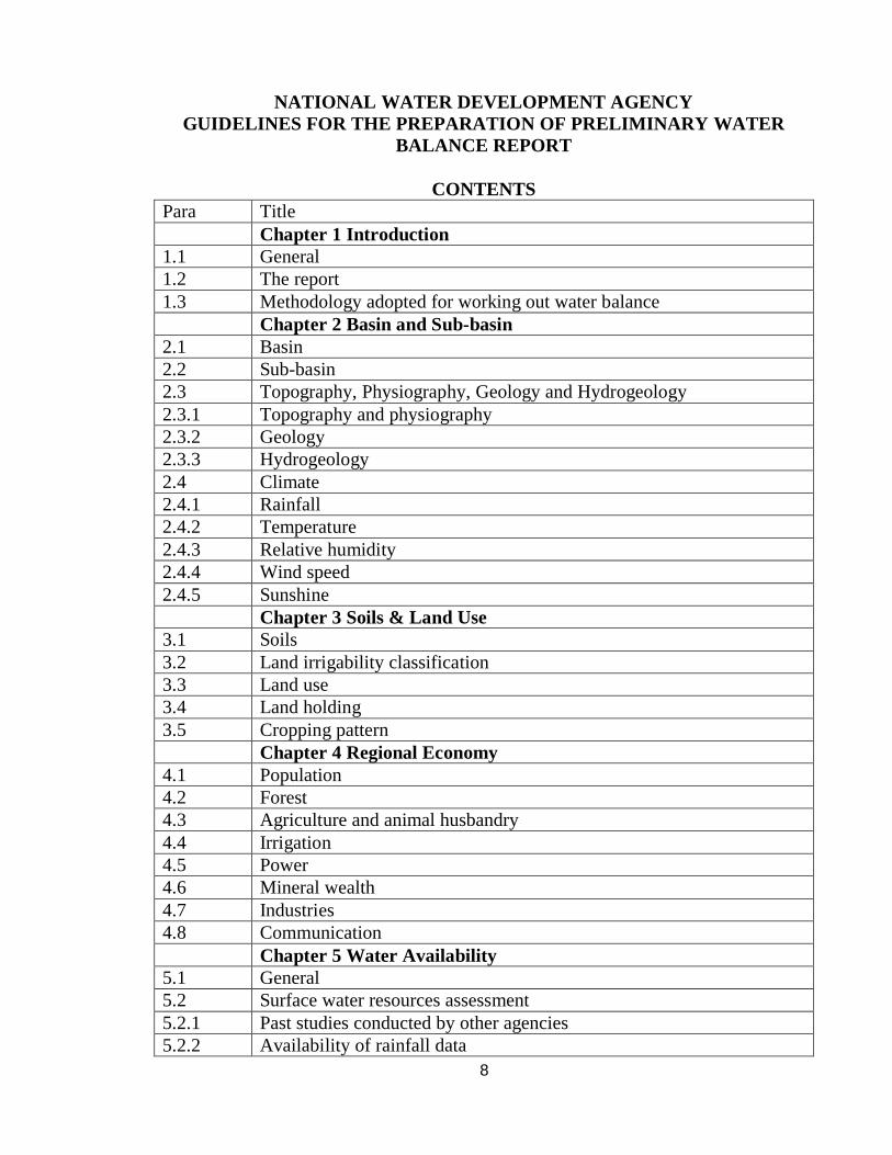
CONTENTS Para Title Chapter 1 Introduction 1.1 General 1.2 The report 1.3 Methodology adopted for working out water balance Chapter 2 Basin and Sub-basin 2.1 Basin 2.2 Sub-basin 2.3 Topography, Physiography, Geology and Hydrogeology 2.3.1 Topography and physiography 2.3.2 Geology 2.3.3 Hydrogeology 2.4 Climate 2.4.1 Rainfall 2.4.2 Temperature 2.4.3 Relative humidity 2.4.4 Wind speed 2.4.5 Sunshine Chapter 3 Soils & Land Use 3.1 Soils 3.2 Land irrigability classification 3.3 Land use 3.4 Land holding 3.5 Cropping pattern Chapter 4 Regional Economy 4.1 Population 4.2 Forest 4.3 Agriculture and animal husbandry 4.4 Irrigation 4.5 Power 4.6 Mineral wealth 4.7 Industries 4.8 Communication Chapter 5 Water Availability 5.1 General 5.2 Surface water resources assessment 5.2.1 Past studies conducted by other agencies 5.2.2 Availability of rainfall data
9
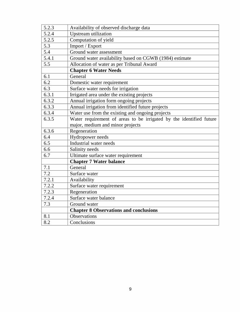
5.2.3 Availability of observed discharge data 5.2.4 Upstream utilization 5.2.5 Computation of yield 5.3 Import / Export 5.4 Ground water assessment 5.4.1 Ground water availability based on CGWB (1984) estimate 5.5 Allocation of water as per Tribunal Award Chapter 6 Water Needs 6.1 General 6.2 Domestic water requirement 6.3 Surface water needs for irrigation 6.3.1 Irrigated area under the existing projects 6.3.2 Annual irrigation form ongoing projects 6.3.3 Annual irrigation from identified future projects 6.3.4 Water use from the existing and ongoing projects 6.3.5 Water requirement of areas to be irrigated by the identified future
major, medium and minor projects 6.3.6 Regeneration 6.4 Hydropower needs 6.5 Industrial water needs 6.6 Salinity needs 6.7 Ultimate surface water requirement Chapter 7 Water balance 7.1 General 7.2 Surface water 7.2.1 Availability 7.2.2 Surface water requirement 7.2.3 Regeneration 7.2.4 Surface water balance 7.3 Ground water Chapter 8 Observations and conclusions 8.1 Observations 8.2 Conclusions
10
Chapter 1 INTROUDCTION 1.1 General
The overall water situation of the country shall be indicated briefly. The national perspectives for water resources development including Himalayan and / or Peninsular component shall be briefly discussed in this para. Also brief background about creation of NWDA and scope of studies shall be indicated. 1.2 The report
Total number of reports to be studied under relevant components shall be indicated in this para. The name of sub-basin to be studied shall be indicated in this para. 1.3 Methodology adopted for working out water balance.
The procedure / methodology adopted for working out water balance covering type of soil, estimation of yield, ground water potential, water requirement, regeneration etc., shall be briefly described in this para with sub paras as required.

11
Chapter 2
BASIN AND SUB-BASIN 2.1 Basin Brief description of the basin shall be indicated in this para. This shall include total catchment area, total length of river, percentage of area lying in various states, latitude and longitude of basin and its important tributaries. 2.2 Sub-basin Brief description of the sub-basin indicating place of origin of river / tributary, its course, length, latitude and longitude of sub-basin, important tributaries and state-wise break up of catchment area shall be given in this para.
Table giving name of states and districts falling in the catchment area of districts and their percentage to the total geographical area of the sub-basin shall be furnished.
If the variation in catchment area of any basin/ sub-basin between NWDA and
State Government figures is within 5% there is no need to revise the figures.
Index map showing river basins in India and also Index map of the basin / sub-basin showing river and tributaries, important towns, railway lines, national highways etc as Plate 1 and administrative map showing States/districts/talukas and their headquarters as Plate 2 shall be appended to the report. 2.3 Topography, Physiography, Geology and Hydrogeology 2.3.1 Topography and Physiography
The main topographical and physiographical features of the basin/sub-basin shall be briefly described here. 2.3.2 Geology Different geological formations occurring in the basin / sub-basin shall be indicated here. 2.3.3 Hydrogeology Based on the information collected from Central Ground Water Board, the hydro-geological formations of the basin/sub-basin including groundwater

12
availability shall be briefly described. Details of water bearing formation etc. shall be indicated in Plate-3. 2.4 Climate Various seasons and their period shall be indicated. General description of climate of each season of the year shall be indicated. 2.4.1 Rainfall Number of raingauge stations located in the basin along with the period of availability of rainfall data, maximum, minimum and normal rainfall etc., shall be described in this para supported with annexures. In annexure, sources of data viz. from IMD, State Governments shall be indicated. 2.4.2 Temperature Monthly and annual ranges of variation of temperature of the basin / sub-basin as observed in IMD observatories in and nearest to the basin / sub-basin shall be indicated supported with Annexures. 2.4.3 Relative humidity Variation of mean relative humidity, month wise as observed in IMD observatories in or around the basin / sub-basin shall be indicated in this para supported by annexure. 2.4.4 Wind speed Data on wind speed in the basin / sub-basin as observed in IMD observatories in or around the basin / sub-basin shall be indicated month-wise in annexure. 2.4.5 Sunshine The maximum and minimum range of monthly sunshine hours in percent as observed at IMD observatories in or nearest to the basin / sub-basin shall be indicated in this para supported with suitable Annexures.

13
Chapter 3 SOILS AND LAND USE 3.1 Soils
General information regarding data/soil surveys based on which information is furnished shall be indicated including limitations. The type of soils lying in the basin/sub-basin shall be indicated.
Properties of each type of soil, namely colour, depth, chemical characteristics, PH value, texture, structure, drainages etc. shall be briefly described in sub-paras.
A map showing different type of soils in the basin/sub-basin shall be appended
as plate 4.
3.2 Land irrigability classification Brief description of land irrigability classification based on physio-chemical characteristics of soil or as obtained from detailed soil survey data shall be discussed in brief in this para. Area under each class shall also be presented in tabular form, if such information is available. 3.3 Land use Annual land use particulars of the basin/sub-basin shall be collected for the latest five years available from Bureau of Economics and Statistics of respective State Governments and shall be presented state-wise in the form of suitable annexure. Culturable area which comprises of land under miscellaneous crop and trees, current fallows other fallows, culturable waste and net area sown for the five years under compilation shall be presented in a tabular form. The details of land use particulars for the year in which culturable area is found to be maximum shall be reproduced in tabular form and shall be used in the study. 3.4 Land holdings Details of land holding in the basin/sub-basin be compiled from district wise figures and presented in tabular form showing number of holdings for different size groups and their area and percentage total area.
14
3.5 Cropping pattern Details of areas under various crops in the basin/sub-basin shall be collected from State Bureau of Economics and Statistics for both irrigated and unirrigated area and presented in the form of suitable annexure. Also, designed cropping patterns of some of the important existing, ongoing and future major and medium projects shall be collected and presented in the form of Annexure. The prevalent cropping pattern in the basin/sub-basin shall be briefly described and suggested cropping pattern based on same for proposed major, medium and minor projects with 150%, 125% and 100% intensities of irrigation respectively shall be presented in a tabular form. The intensity of irrigation for proposed projects shall be taken as proposed by States Govt. and shall be restricted to above value.
In case of such future projects for which project reports have already been approved by CWC, the cropping pattern as given therein should be considered and for other future projects cropping pattern will be based on the availability of water and agro-climate zone.
Fodder crops should be included in the cropping patterns recommended by the
NWDA in the water balance studies.
15
Chapter 4
REGIONAL ECONOMY 4.1 Population The total population, rural and urban population of the basin/sub-basin based on the latest census data shall be reported. The average density of the population in the basin/sub-basin shall be indicated. 4.2 Forest The area covered by the forest and percentage to geographical area shall be indicated. Type of forest shall be briefly mentioned along with names of important species. 4.3 Agriculture and animal husbandry
The net area sown and its percentage to the geographical area of basin/sub-basin, crops grown etc., shall be indicated. Types of implements used in agriculture and live stock population as per latest census may be indicated. 4.4 Irrigation
The gross area irrigated from canals, tanks and wells and its percentage to gross cropped area shall be indicated. The source wise irrigation for the latest 5 years shall be appended as an annexure. Source of data shall be indicated in the annexure. 4.5 Power
The existing, ongoing and proposed Thermal, Hydel and Atomic power stations, if any, in the basin/sub-basin shall be reported. 4.6 Mineral wealth
Important minerals found in the sub-basin shall be mentioned. 4.7 Industries
Various types of industries including cottage and small scale existing in the sub-basin shall be mentioned. 4.8 Communication
National highways, railway lines connecting, important places in the basin/sub-basin, airport and seaport shall be mentioned.
16
Chapter 5 Water Availability 5.1 General Purpose of the chapter shall be indicated in this para. 5.2 Surface water resources assessment 5.2.1 Past studies conducted by other agencies Past studies conducted by other agencies for assessment of surface water resources shall be briefly described in this para indicating their assessment at various dependabilities. 5.2.2 Availability of rainfall data The availability of rainfall data of various rain-gauge stations in or around the basin/sub-basin which are considered for working out weighted average rainfall of the basin/sub-basin shall be indicated. Missing data of the raingauge station, if any, shall be estimated using standard statistical methods. Weighted average monsoon rainfall of the entire basin/sub-basin for the long term period (at least 35 years) for which data is available and also of the basin/sub-basin upto the selected G&D site for the period of availability of runoff data shall be computed by Theissen polygon method. Details of computation are to be presented in the form of suitable annexure. 5.2.3 Availability of observed discharge data Gauge and Discharge sites maintained by different Agencies/States and Central Water Commission shall be indicated. The period of availability of data and drainage area covered in respect of each site shall also be shown in a table. The consistency of observed discharge data shall be checked thoroughly. If observed discharge data for particular years is found to be inconsistent, it should be rejected and reasons thereof shall be explicitly indicated. 5.2.4 Upstream utilisation Details of year-wise existing utilisation in the basin/sub-basin upstream of the G&D site shall be collected from State Govt. Sources and presented in the form of
17
suitable annexures. In the absence of data, appropriate values of delta may be assumed for estimating utilisation. Storage effect on account of Hydel projects be considered to arrive at virgin yield. In case of irrigation projects, the storage effect need not be considered, as storages filled during monsoon period are fully utilised during non-monsoon period.
While working out virgin yield, regeneration at the rate of 20% of net utilisation from existing major, medium projects and also from imported water upstream of G&D site shall then be considered. Virgin monsoon yield upto the selected G&D site shall then be worked out adding upstream utilisation from existing major, medium and minor projects (excluding utilisation from imports) to the observed monsoon yield and deducting regeneration. Details of computation shall be presented suitably in an annexure.
5.2.5 Computation of yield: Rainfall-runoff relationship for monsoon period as a hole shall be developed by regression analysis both for linear and nonlinear form of equations. The form of equation to be used shall be as follow:
(i) Y = a+bx (ii) Y = axb
Details of computation shall be presented in annexure including graphical plot
of rainfall Vs runoff. Best fit regression equation shall be selected on the basis of least standard error of estimate and co-efficient of correlation not below 0.70.
Weighted average monsoon rainfall of each year shall be substituted in the
selected regression equation to develop long term monsoon yield series of the basin/sub- basin. The monsoon yield shall be worked out as a percentage of net non-monsoon yield to virgin monsoon yield from the observed set of run-off data and corresponding utilization. The computation shall also be presented in the form of annexure. The annual yield series shall be arrived at by adding both the non-monsoon yield and the non-monsoon yield. The yield shall be arranged in descending order in the same annexure and annual yield at 75% and 50% dependabilities shall be computed therefrom. The location of G&D sites and the hydro-meteorological stations, annual normal isohyets shall be shown in Plate 5.
When the catchment of a basins/sub- basin is sub divided for estimation of dependable yields, using observed flow data of more than one G&D site, the long term annual yields series for each part catchment shall be estimated as indicated above. The annual yields of each year of such part catchments shall be added to
18
arrive at annual yield series for the whole basin/sub- basin. Thereafter dependable yields of whole catchment shall be estimated using procedure stated above. In case where there are no G&.D sites or the existing G&D sites cover only a small portion of the catchments, rainfall-runoff relationship obtained for the adjoining hydro-meteorologically similar basin/ sub-basin may be adopted.
The surface water yield need not be worked out at the state boundaries. The existing procedure for deciding the best-fit equations on the basis of the minimum standard error of estimate may continue.
Hydrological studies may be updated after a period of 10 years when additional data will be available. 5.3. Import/Export
Details of import from existing, ongoing and future identified projects located outside the basin/sub-basin shall be collected from State Govt. sources and briefly described here. Similarly, details of export, outside basin/sub-basin from existing, ongoing and proposed projects located within the basin/sub-basin shall also be collected from State Govt. and briefly described. The details of import and export shall be presented in the form of suitable annexure giving details of annual irrigation and annual utilisation in respect of each of the project.
5.4. Ground water assessment 5.4.1. Ground water availability based on CGWB estimates
Ground water potential and existing draft of the basin/sub-basin shall be computed on proportionate area basis from the latest data collected from Central Ground Water Board, in absence of which from statistics of State Ground Water Boards and presented in an annexure. Ground water may be indicated as a separate resource State wise.
5.5 Allocation of water as per Tribunal Award
In case any Tribunal Award is existing for any basin/sub-basin, the same shall be briefly described and allocation to each State presented in tabular form giving reference to Tribunal Award, page number etc. in respect of the particular project.
5.6 Availability of Surface Water The water balance study should consider the surface water resources only while estimating the water balance in a river basin/sub-basin

19
Water availability upto the project site to be checked on the basis of the following:
I. Flow series are based on observed data and corrected for existing utilization.
II. Extended flow series are based on rainfall-runoff correlations for the project site.
III. Extended flow series based on rainfall-runoff correlations for the nearest hydro-meteorologically similar watershed.
IV. Prorata Basis
50% and 75% yield computed as above may further be adjusted for the ultimate utilizations upstream, exports and imports to compute 50% and 75% dependable availability.
Water utilizations for any project should be restricted to a maximum of
75% dependable availability in case of diversions. However, for storage projects requirement may exceed 75% dependable availability with provisions of carryover storage.
Suitability of dam site: This aspect may be accepted as per the information
provided by the State Governments/Master Plan.
5.7 Seasonal water balance
For Himalayan Component the aspect of Seasonal water balance may be followed as given below:
Water balance study at diversion points where reservoir is contemplated will be carried out on annual basis as most of the flows can be considered to be regulated. However, at diversion point where reservoirs are not contemplated, water balance study will be carried out on a seasonal basis.

20
Chapter-6
Water Needs 6.1. General:
The various needs that are to be met while planning for water resources development is to be indicated here.
6.2. Domestic water requirement:
It is expected that population of India will hopefully stabilise by 2050 AD. Hence domestic water requirements shall be worked for this ultimate situation. Domestic water requirement for urban, rural and livestock population of the basin/sub-basin shall be worked state-wise.
The total and rural population of the basin/sub-basin shall be assessed on
proportionate area basis from the latest available district-wise census data using the following formula and as per latest revision of UN publication "world population prospectus" on medium variant growth rate:
n P = P (1+r) where
2050 1911 r = annual compound rate of growth n = nos. of year Details of computation shall be presented in the form of Annexure. The livestock population of the basin/sub-basin shall also be assessed on
proportionate area basis from district-wise census data published by Bureau of Economics and Statistics of respective State Govt. and shall be projected to 2050 AD on the basis of same formula as above, but considering an annual compound growth rate of 1%. Details shall also be furnished in the form of Annexure.
Domestic needs shall be estimated considering per capita daily water
requirement for urban and rural population as 135 litres and 50 litres respectively as prescribed by the erstwhile Ministry of Works and Housing, Government of India in their manual “Water supply and Treatment”. For livestock population, 50 litres per capita requirement shall be taken in the absence of standard norms. The ultimate domestic needs shall be worked out State-wise and presented in tabular form. The full requirement of urban population and 50% of rural population shall be considered to be met from surface water sources and the requirement of remaining 50% of rural population and entire livestock population shall be met from ground water.
21
Regeneration as return flow to the stream shall be worked out as 80% of surface water utilised for domestic purposes.
6.3. Surface water needs for irrigation:
The data relating to existing, ongoing and proposed major, medium and minor irrigation projects shall be compiled from the master plans prepared by the State Governments including project reports and other relevant documents. The estimate based on this data will be the ultimate irrigation requirement in a basin/sub-basin.
6.3.1. Irrigated area under existing projects:
Details of existing major, medium and minor projects in the basin/sub-basins shall be collected from respective State Irrigation departments and indicated in this para. Also if any irrigation is presently being provided in the basin/sub-basin through any projects located outside the basin/sub-basin, the same is also to be indicated in this para. The annual irrigation from existing projects shall be considered as the designed annual irrigation from all projects including from import and shall be presented in the form of annexure giving details of G.C.A., C.C.A, actual and designed annual irrigation, intensity of irrigation and annual utilisation in respect of each project also indicating source of data therein.
6.3.2. Annual irrigation from ongoing projects:
Details of major, medium and minor projects under construction in the basin/sub-basin shall be collected from respective State Irrigation Departments and indicated in this para. Also if any irrigation is proposed to be extended in the basin/sub-basin, from any project under construction outside the basin/sub-basin, same shall also be indicated in this para. The annual irrigation from ongoing projects shall be considered as the designed annual irrigation as indicated in respective project reports/State Master Plan including same from import and shall be presented in the form of an annexure giving details of GCA, CCA designed annual irrigation, intensity of irrigation and annual utilisation in respect of each project also indicating source of data therein.
6.3.3 Annual irrigation from identified future projects: Details of major, medium and minor projects identified for future implementation in the basin/sub-basin shall be collected from respective State irrigation Departments and indicated in this para. Also, if any irrigation to the basin/sub-basin is proposed from any identified future projects located outside the basin/sub-basin, same shall also be indicated in this para. The intensities of irrigation shall however be considered as 150%, 125% & and 100% in respect of major, medium and minor projects respectively and annual irrigation from identified future

22
projects shall be worked out accordingly. An annexure indicating GCA, CCA annual irrigation intensity of irrigation, annual utilization etc. as per State Govt. and annual irrigation as proposed by NWDA in respect of each project shall also be presented indicating source of data therein. In case of such basins/sub-basins, where annual irrigation from existing, ongoing and identified future projects is less than 60% of the culturable area of the basin/sub-basin, the balance of area shall also be considered to be provided with irrigation under future projects so as to bring the annual irrigation to cover atleast 60% of culturable area and additional area to brought under irrigation would be for a single dry crop without considering any high water consuming crop like sugarcane and paddy. 50% of such additional area shall be assessed to be covered by major and medium projects and balance by minor projects. For studies related to Himalayan Component Studies the following procedure may be followed: (i) Intensity of irrigation
Considering availability of considerable groundwater potential in the basins of the Himalayan rivers, it was decided that the areas where existing irrigation intensity is less than 100%, the same maybe increased to level of l00% from surface water. Wherever, the existing intensity of irrigation is more than 100% the intensity can remain at the same level. Additional intensifications over and above those indicated above may be carried out by using groundwater to encourage conjunctive use and to avoid the problems of water logging and salinity.
(ii) Irrigation in the enroute areas
The areas enroute of the link canals not covered by any other irrigation scheme may be provided with irrigation to the extent of 100% intensity from the surface water and any additional irrigation by groundwater.
(iii) Irrigation in the target areas
The target area should be covered by extensive irrigation and an intensity of not more than 100% should be provided from the transferred water.
(iv) Water requirements downstream of diversion points
While carrying out water balance studies at the point, where diversions are contemplated, the water requirements will also include the committed utilizations and additional requirements of downstream areas, which cannot be met from the water available downstream.
23
6.3.4 Water use from the existing and ongoing projects: Designed annual utilization from the existing projects (major, medium and minor) in the basin/sub-basin shall be indicated in this para alongwith designed annual utilization from existing imports. The same shall also be included in the annexure prepared for irrigated area under existing projects. Similarly designed annual irrigation from ongoing projects (major, medium and minor) in the basin/sub-basin shall be indicated in this para alongwith designed annual irrigation from ongoing imports. The same shall also be included in the annexure prepared for irrigated area under ongoing projects. 6.3.5 Water requirement of areas to be irrigated by identified future major,
medium and minor projects: Water requirement for identified future projects shall be worked out using climatological approach. The cropping pattern to be considered is as suggested in Chapter-3. Crop water requirement in respect of crops proposed shall be computed considering monthly values of potential Evapo-transpiration (PE) of IMD observatory located in or nearest to the basin/sub-basin (average in case of more than one station being in the basin/sub-basin) as given in IMD Publication ‘Potential Evapo-transpiration (PE) over India’ (Scientific Report No.136, Feb. 1971). Monthly Evapo-transpiration and rainfall normal of the stations for the concurrent period shall be given in an annexure. Irrigation efficiency of 65% in case of major and medium projects and 80% in case of minor projects shall be considered. Details of computation shall be presented in the form of Annexure. Average delta for each category of project shall be worked out considering actual evaporation losses (to be worked out based on the Evapo-transpiration data available in the vicinity), however in the absence of actual data on evaporation the same may be adopted as 20% of gross irrigation water requirement of crops and details of computation presented in the form of Annexure. Water requirement for identified future projects shall then be worked out considering total annual irrigation under each category of projects multiplied by their respective average delta and presented in tabular form. The same shall also be included in the annexure for irrigated areas under identified future projects indicating annual utilization as proposed by State Govt. and also by NWDA therein respect of each project. The ultimate water requirement as assessed for existing, ongoing and future projects in the basin/sub-basin shall also be presented in a tabular form.
Location of existing, ongoing and future major and medium projects in the basin/sub-basin shall be presented in Plate-7. Command areas of the projects
24
including those from import and also arable area in the basin/sub-basin as per irrigation Atlas, of the CBIP shall also be indicated in the same Plate. 6.4.6. Regeneration:
Regeneration at the rate of 20% of net water utilization in the basin/sub-basin for irrigation from all existing, ongoing and identified future major and medium projects as also from imports shall be indicated in this para and also presented in a tabular form. No regeneration shall be considered from minor irrigation projects.
6.4 Hydropower needs:
Details of all hydropower projects existing, under construction and proposed as collected from State Govt. sources and the publication ‘Hydropower Potential of India’ of CEA shall be indicated in this para. Evaporation losses from storages as indicated in respective projects reports/State Master Plan in respect of each project shall be considered as consumptive use for Hydropower needs and shall be indicated in this para.
Details shall also be presented suitably in the form of Annexure. 6.5 Industrial water needs: Details of water requirement for all existing, under construction and future industries collected from State Industries Department shall be indicated in this para supported by suitable annexure. However, in case details are not available, it shall be assumed that industrial water requirement at the ultimate stage shall be of the same order of ultimate domestic water requirement of basin/sub-basin and to be met from surface water requirement. Regeneration at the rate of 80% of industrial water requirement to be available as return flow to the stream shall also be indicated in this para. 6.6 Salinity needs: A lumpsum provision of 10% of 75% dependable yield is to be considered towards salinity control in respect of such basins/sub-basins for which State Govts. have kept necessary provision in their Master Plan. 6.7 Ultimate surface water requirement: The ultimate surface water requirement in respect of all needs in the basin/sub-basin shall be presented in this para giving state -wise break up in a suitable tabular form.
25
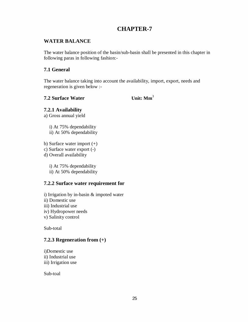
CHAPTER-7 WATER BALANCE The water balance position of the basin/sub-basin shall be presented in this chapter in following paras in following fashion:- 7.1 General The water balance taking into account the availability, import, export, needs and regeneration is given below :- 7.2 Surface Water Unit: Mm3 7.2.1 Availability a) Gross annual yield
i) At 75% dependability ii) At 50% dependability
b) Surface water import (+) c) Surface water export (-) d) Overall availability
i) At 75% dependability ii) At 50% dependability
7.2.2 Surface water requirement for i) Irrigation by in-basin & impoted water ii) Domestic use iii) Industrial use iv) Hydropower needs v) Salinity control Sub-total 7.2.3 Regeneration from (+) i)Domestic use ii) Industrial use iii) Irrigation use Sub-toal
26
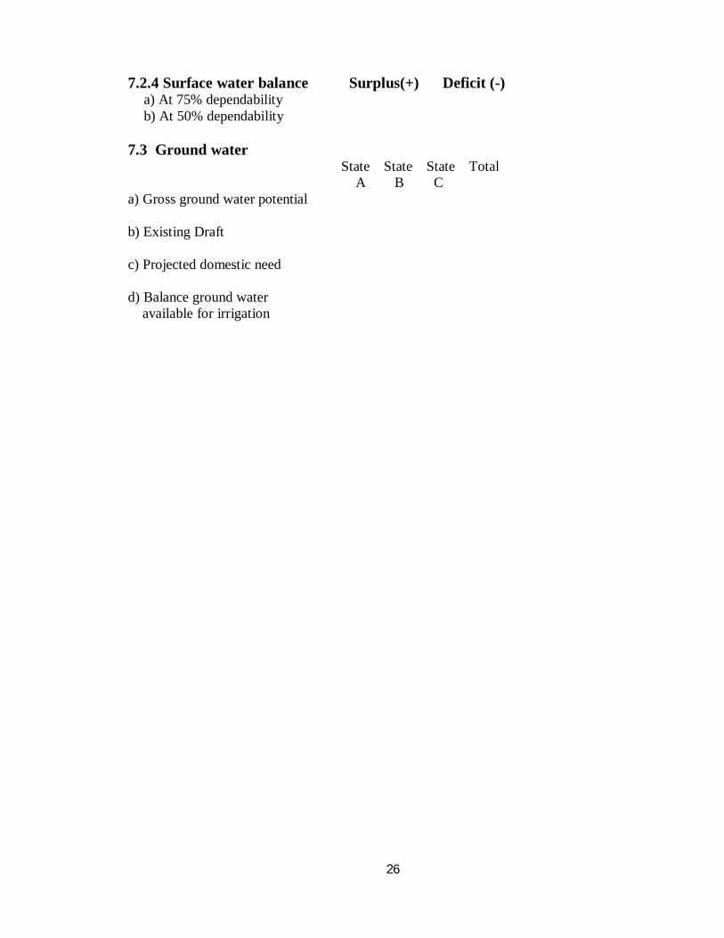
7.2.4 Surface water balance Surplus(+) Deficit (-) a) At 75% dependability b) At 50% dependability
7.3 Ground water State State State Total A B C a) Gross ground water potential b) Existing Draft c) Projected domestic need d) Balance ground water available for irrigation
27
CHAPTER-8
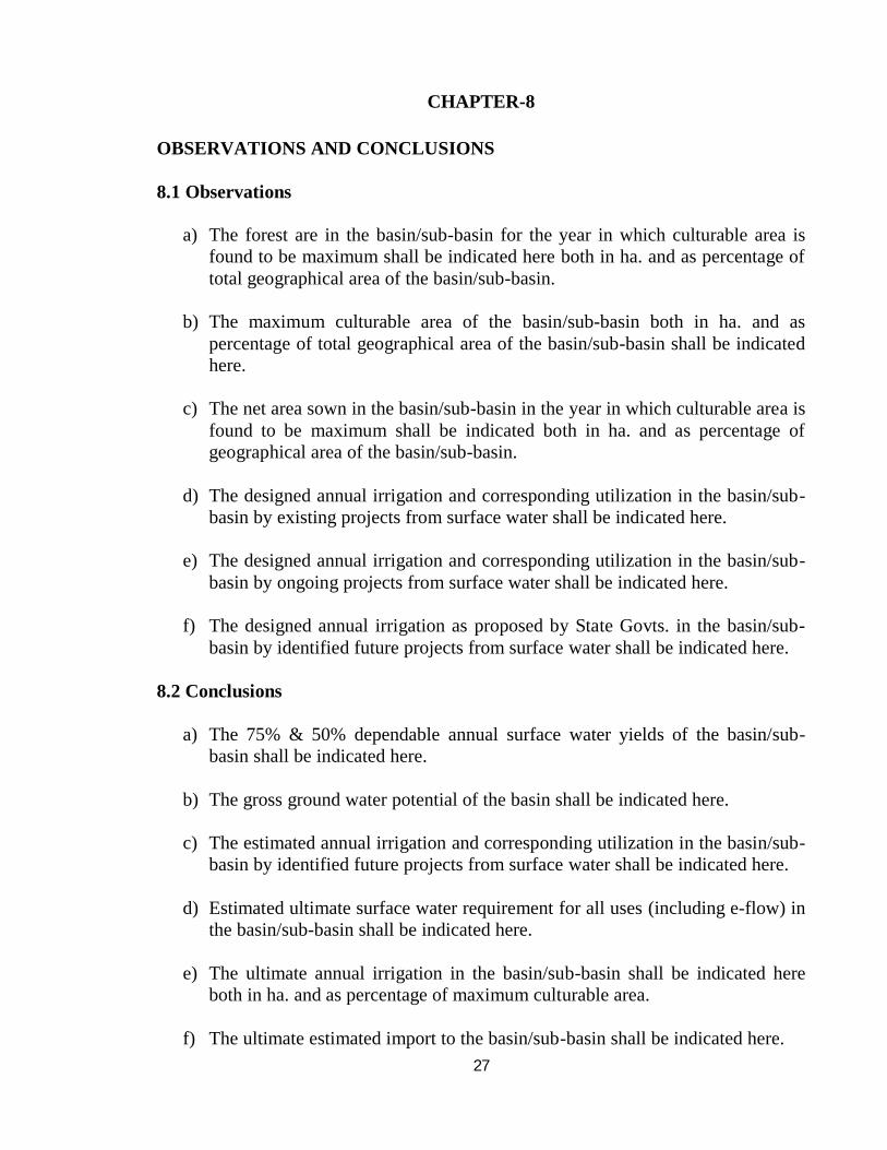
OBSERVATIONS AND CONCLUSIONS 8.1 Observations
a) The forest are in the basin/sub-basin for the year in which culturable area is found to be maximum shall be indicated here both in ha. and as percentage of total geographical area of the basin/sub-basin.
b) The maximum culturable area of the basin/sub-basin both in ha. and as percentage of total geographical area of the basin/sub-basin shall be indicated here.
c) The net area sown in the basin/sub-basin in the year in which culturable area is
found to be maximum shall be indicated both in ha. and as percentage of geographical area of the basin/sub-basin.
d) The designed annual irrigation and corresponding utilization in the basin/sub-
basin by existing projects from surface water shall be indicated here.
e) The designed annual irrigation and corresponding utilization in the basin/sub-basin by ongoing projects from surface water shall be indicated here.
f) The designed annual irrigation as proposed by State Govts. in the basin/sub-
basin by identified future projects from surface water shall be indicated here. 8.2 Conclusions
a) The 75% & 50% dependable annual surface water yields of the basin/sub-basin shall be indicated here.
b) The gross ground water potential of the basin shall be indicated here.
c) The estimated annual irrigation and corresponding utilization in the basin/sub-basin by identified future projects from surface water shall be indicated here.
d) Estimated ultimate surface water requirement for all uses (including e-flow) in
the basin/sub-basin shall be indicated here.
e) The ultimate annual irrigation in the basin/sub-basin shall be indicated here both in ha. and as percentage of maximum culturable area.
f) The ultimate estimated import to the basin/sub-basin shall be indicated here.
28
g) The ultimate estimated export from the basin/sub-basin shall be indicated here.
h) The quantum of surplus/deficit of surface water at 75% dependability
considering import, Export and regeneration shall be indicated here.