georeferencing in sar and catastrophic incidents · 1. no single map/chart projection or...
TRANSCRIPT
Georeferencing in
SAR and Catastrophic
Incidents
CDR Aurora Fleming
United States Coast Guard
National SAR Committee(www.uscg.mil/nsarc)

U.S. SAR System
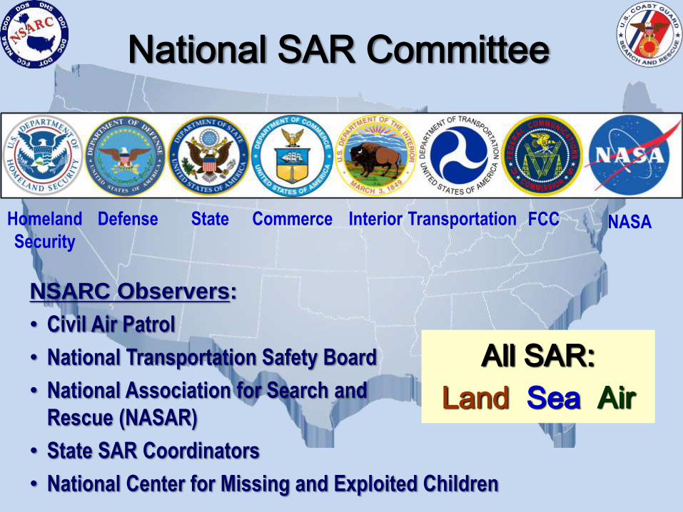
Homeland
Security
Defense State TransportationCommerce NASAInterior FCC
All SAR:
Land Sea Air
National SAR Committee
NSARC Observers:
• Civil Air Patrol
• National Transportation Safety Board
• National Association for Search and
Rescue (NASAR)
• State SAR Coordinators
• National Center for Missing and Exploited Children
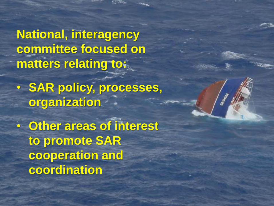
National, interagency
committee focused on
matters relating to:
• SAR policy, processes,
organization
• Other areas of interest
to promote SAR
cooperation and
coordination
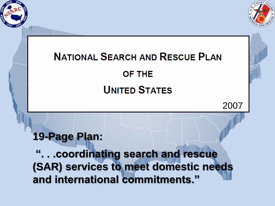
19-Page Plan:
“. . .coordinating search and rescue
(SAR) services to meet domestic needs
and international commitments.”
2007
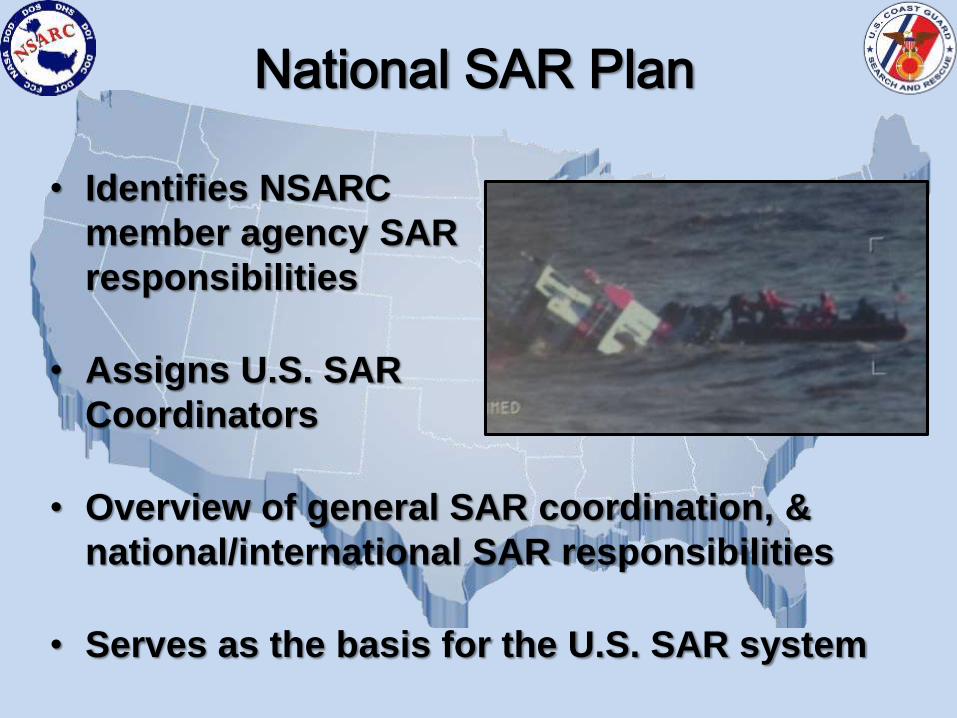
• Identifies NSARC
member agency SAR
responsibilities
• Assigns U.S. SAR
Coordinators
• Overview of general SAR coordination, &
national/international SAR responsibilities
• Serves as the basis for the U.S. SAR system
National SAR Plan
U.S. Northern
Command
Continental
U.S. and Alaska
U.S. Coast Guard
All U.S. maritime SAR
regions, Hawaii and
U.S. navigable waters
and waters under U.S.
jurisdiction
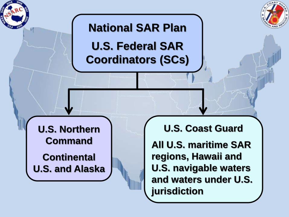
National SAR Plan
U.S. Federal SAR
Coordinators (SCs)
U.S. Northern
Command
Continental
U.S. and Alaska
U.S. Coast Guard
All U.S. maritime SAR
regions, Hawaii and
U.S. navigable waters
and waters under U.S.
jurisdiction
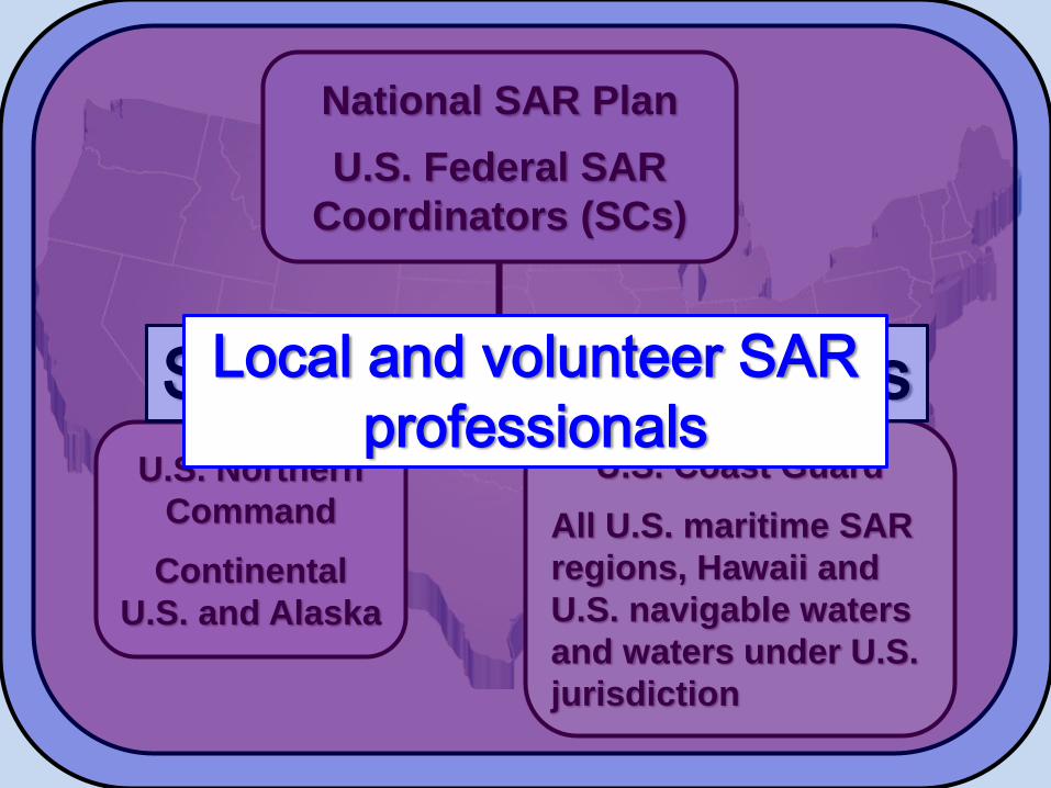
National SAR Plan
U.S. Federal SAR
Coordinators (SCs)
State SAR CoordinatorsLocal and volunteer SAR
professionals
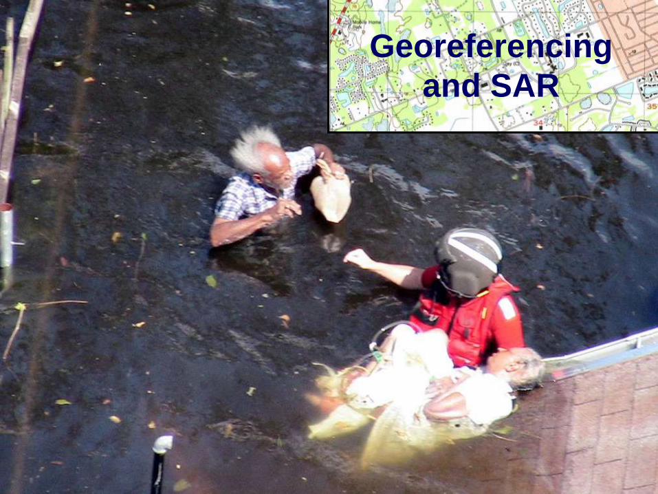
Georeferencing
and SAR
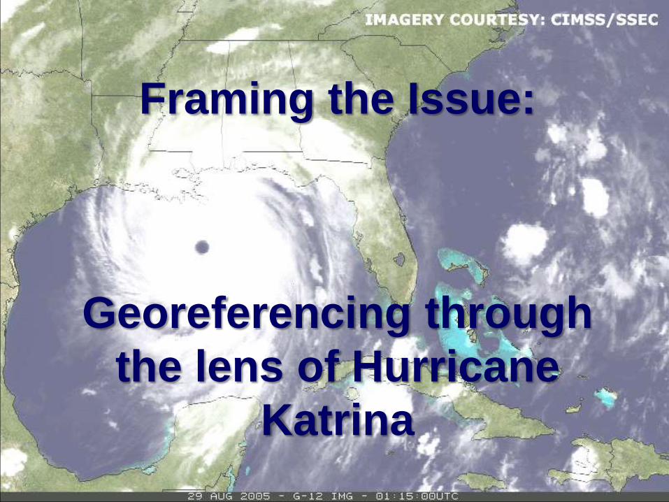
Framing the Issue:
Georeferencing through
the lens of Hurricane
Katrina
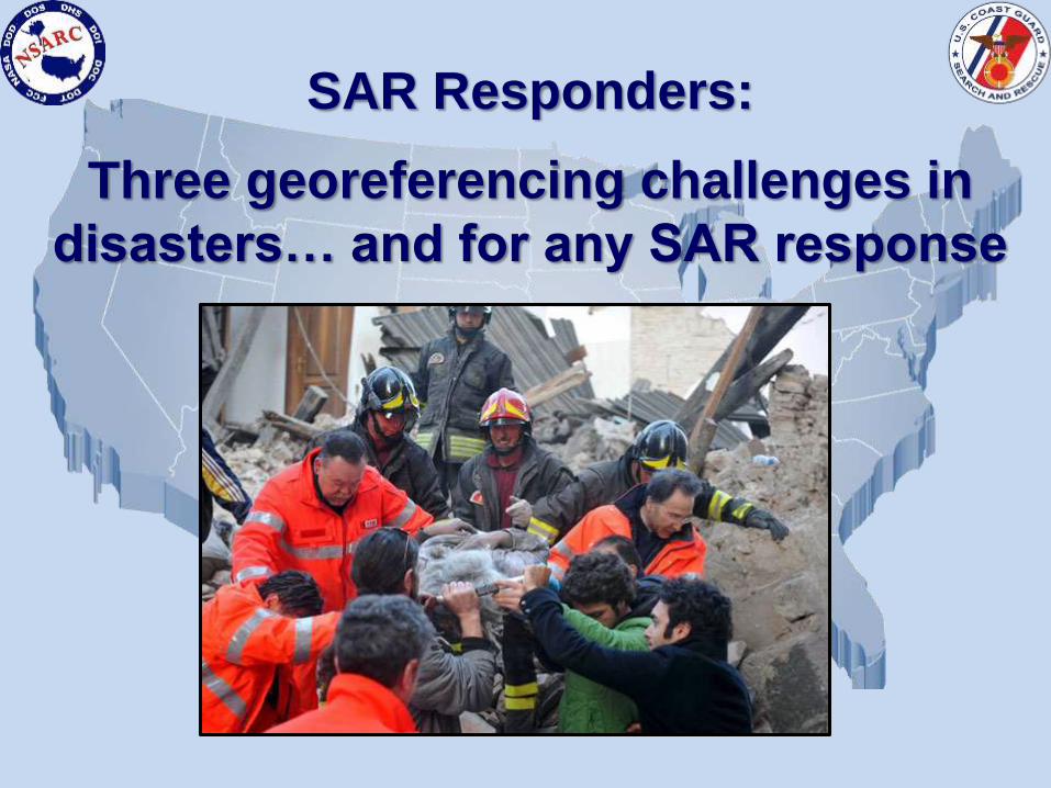
SAR Responders:
Three georeferencing challenges in
disasters… and for any SAR response
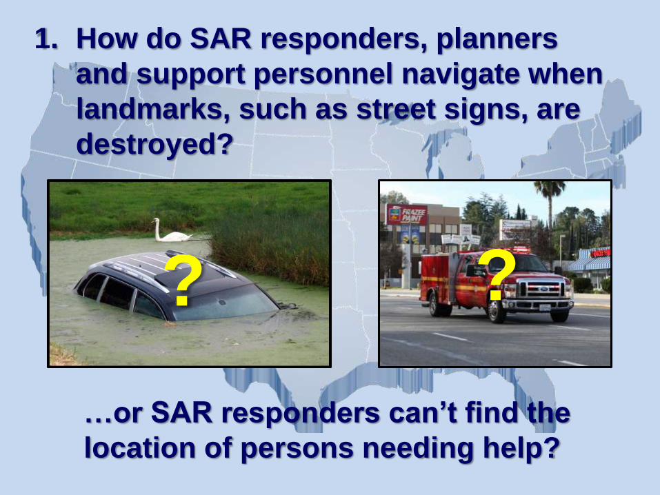
1. How do SAR responders, planners
and support personnel navigate when
landmarks, such as street signs, are
destroyed?
…or SAR responders can’t find the
location of persons needing help?
??

• SAR responders may
not have local/on
scene knowledge
• Can cause delays in
getting critical
lifesaving resources
on scene
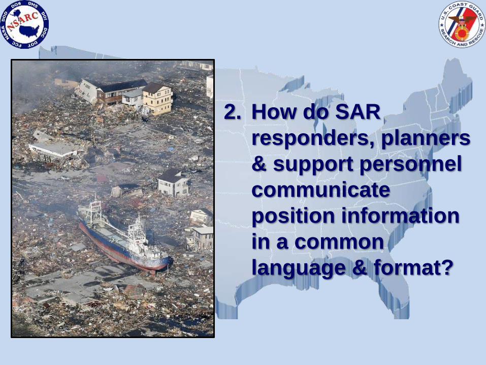
2. How do SAR
responders, planners
& support personnel
communicate
position information
in a common
language & format?
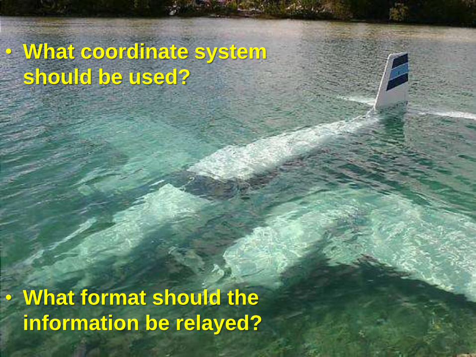
• What coordinate system
should be used?
• What format should the
information be relayed?
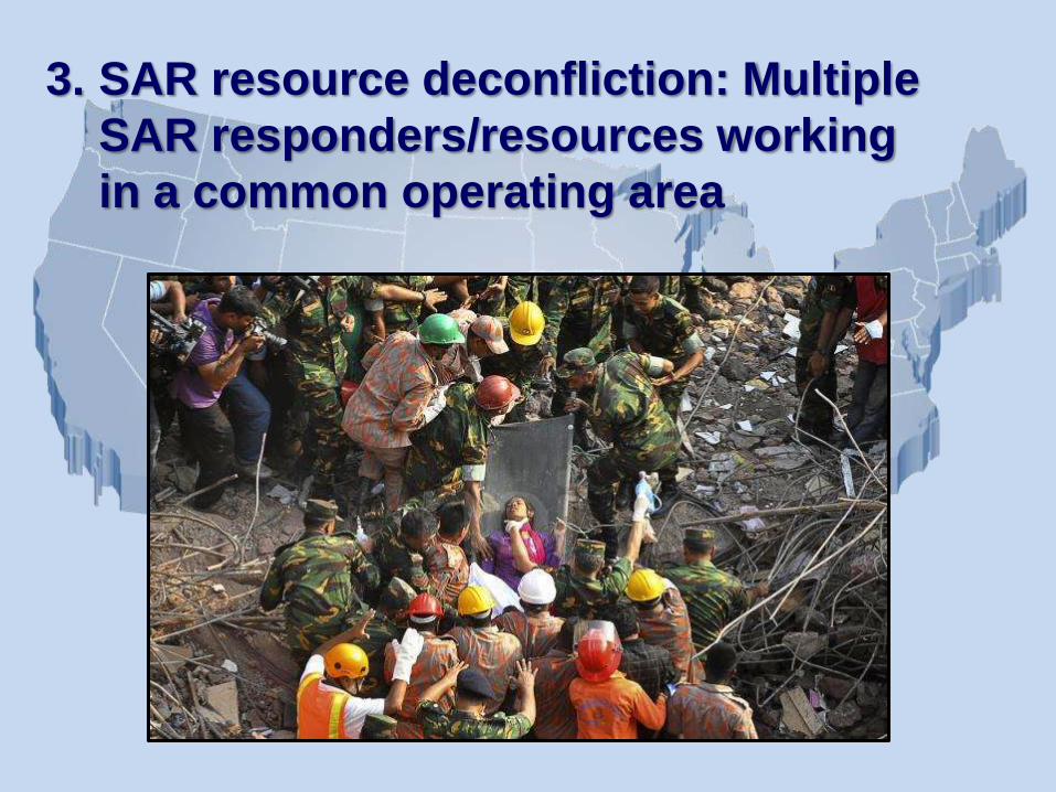
3. SAR resource deconfliction: Multiple
SAR responders/resources working
in a common operating area
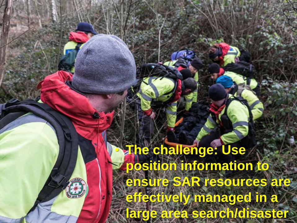
• The challenge: Use
position information to
ensure SAR resources are
effectively managed in a
large area search/disaster
Communicating Location
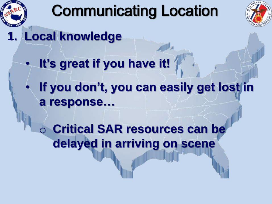
1. Local knowledge
• It’s great if you have it!
• If you don’t, you can easily get lost in
a response…
o Critical SAR resources can be
delayed in arriving on scene
Communicating Location

2. Latitude & Longitude can be
communicated three different ways:
• DD-MM-SS.S(43°-38’-33.2”N 79°-23’-13.7”W)
• DD-MM.mm(43°-38.55’N 79°-23.23’W)
• DD.dd(43.64°N 79.39°W)
Communicating Location
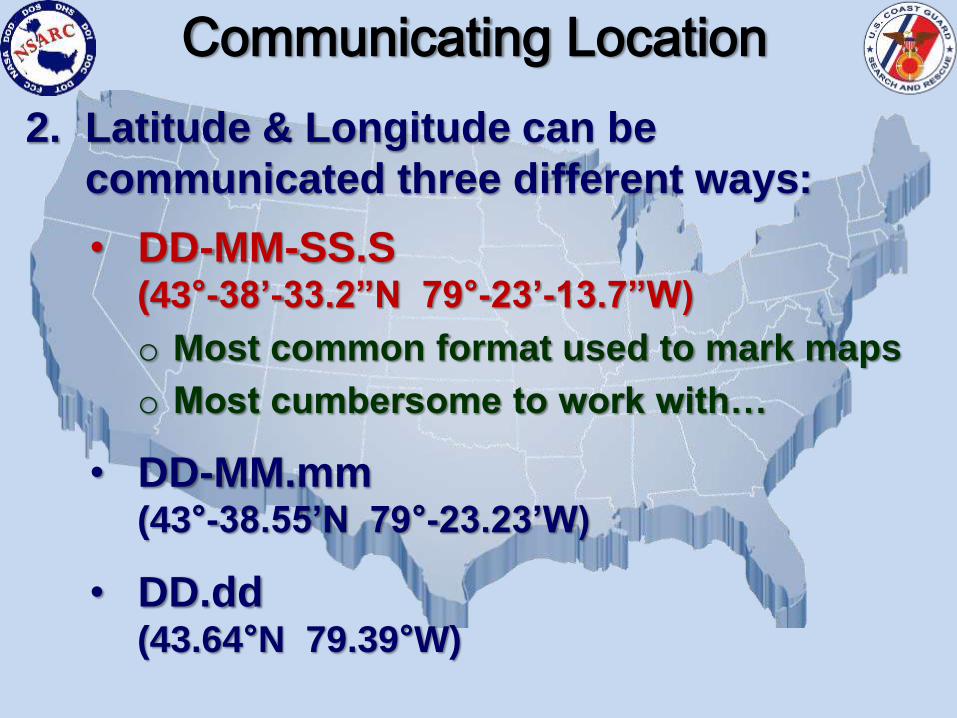
2. Latitude & Longitude can be
communicated three different ways:
• DD-MM-SS.S(43°-38’-33.2”N 79°-23’-13.7”W)
o Most common format used to mark maps
o Most cumbersome to work with…
• DD-MM.mm(43°-38.55’N 79°-23.23’W)
• DD.dd(43.64°N 79.39°W)
Communicating Location

2. Latitude & Longitude can be
communicated three different ways:
• DD-MM-SS.S(43°-38’-33.2”N 79°-23’-13.7”W)
• DD-MM.mm(43°-38.55’N 79°-23.23’W)
o Most common format used when
working with electronic navigation
equipment
• DD.dd(43.64°N 79.39°W)
Communicating Location
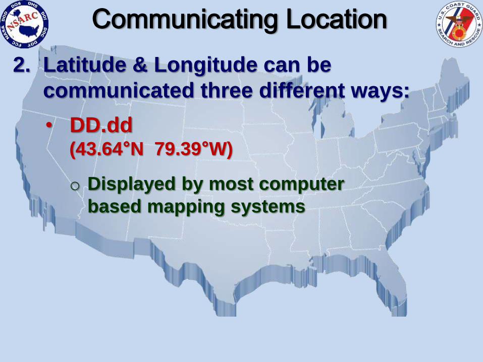
2. Latitude & Longitude can be
communicated three different ways:
• DD.dd(43.64°N 79.39°W)
o Displayed by most computer
based mapping systems
Communicating Location
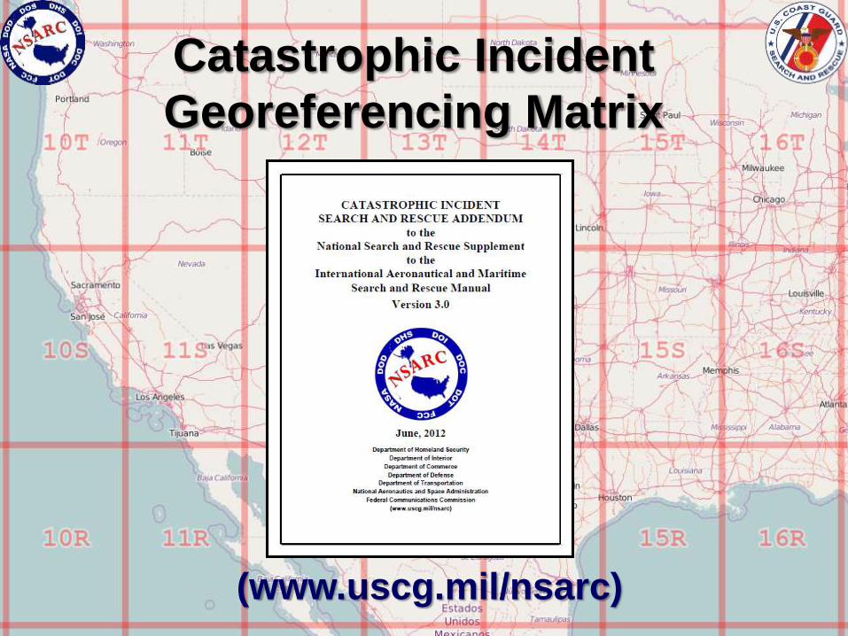
Catastrophic Incident
Georeferencing Matrix
(www.uscg.mil/nsarc)
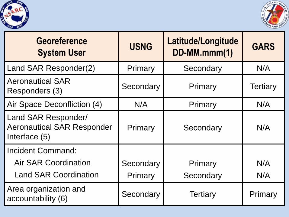
Georeference
System UserUSNG
Latitude/Longitude
DD-MM.mmm(1)GARS
Land SAR Responder(2) Primary Secondary N/A
Aeronautical SAR
Responders (3)Secondary Primary Tertiary
Air Space Deconfliction (4) N/A Primary N/A
Land SAR Responder/
Aeronautical SAR Responder
Interface (5)Primary Secondary N/A
Incident Command:
Air SAR Coordination
Land SAR Coordination
Secondary
Primary
Primary
Secondary
N/A
N/A
Area organization and
accountability (6)Secondary Tertiary Primary
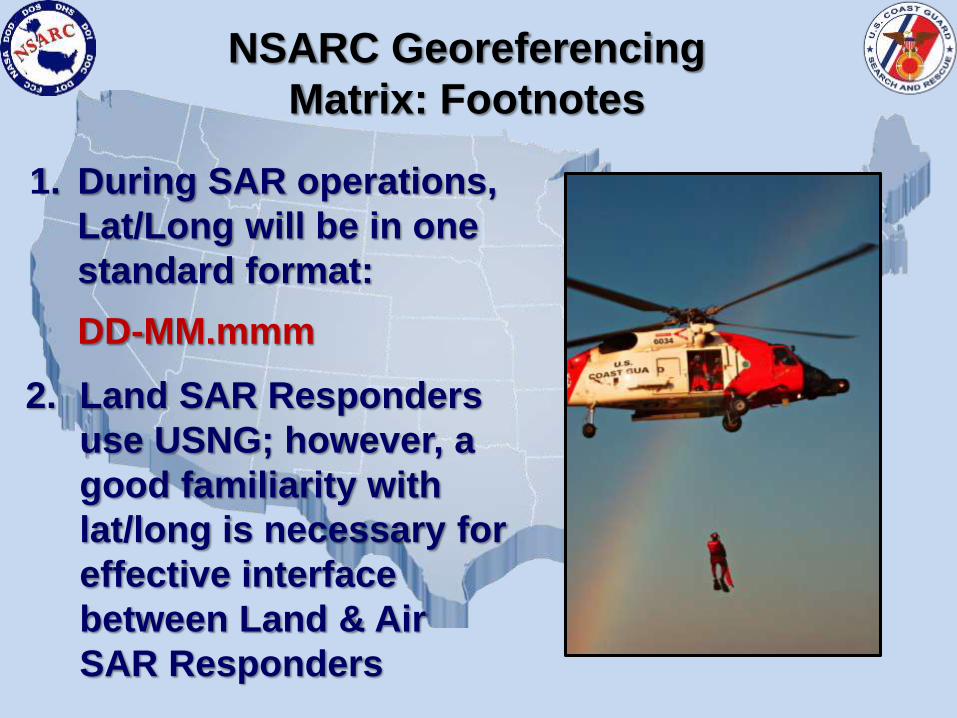
1. During SAR operations,
Lat/Long will be in one
standard format:
DD-MM.mmm
2. Land SAR Responders
use USNG; however, a
good familiarity with
lat/long is necessary for
effective interface
between Land & Air
SAR Responders
NSARC Georeferencing
Matrix: Footnotes
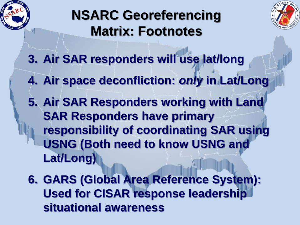
3. Air SAR responders will use lat/long
4. Air space deconfliction: only in Lat/Long
5. Air SAR Responders working with Land
SAR Responders have primary
responsibility of coordinating SAR using
USNG (Both need to know USNG and
Lat/Long)
6. GARS (Global Area Reference System):
Used for CISAR response leadership
situational awareness
NSARC Georeferencing
Matrix: Footnotes
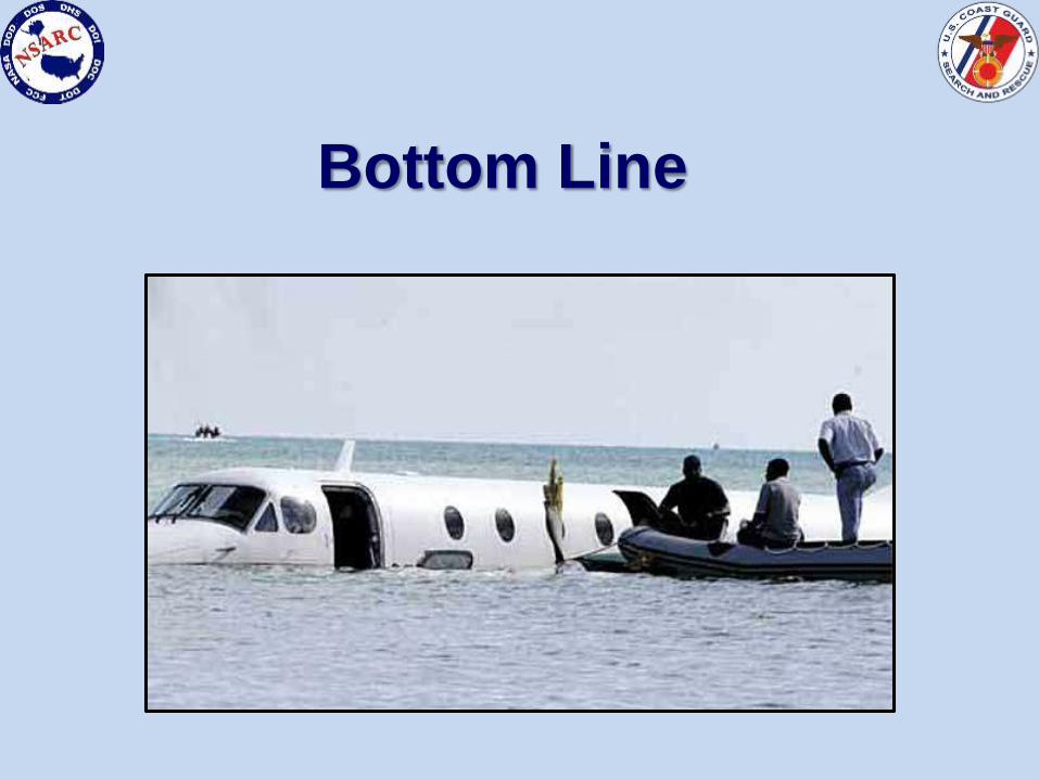
Bottom Line
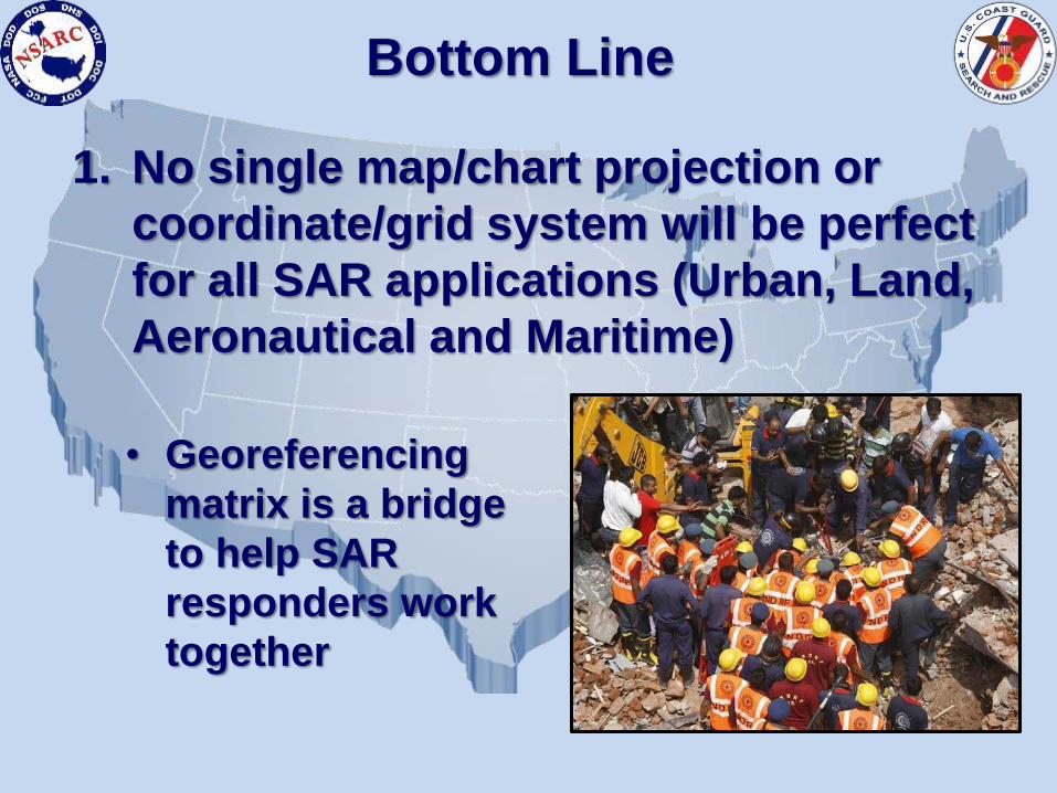
1. No single map/chart projection or
coordinate/grid system will be perfect
for all SAR applications (Urban, Land,
Aeronautical and Maritime)
Bottom Line
• Georeferencing
matrix is a bridge
to help SAR
responders work
together
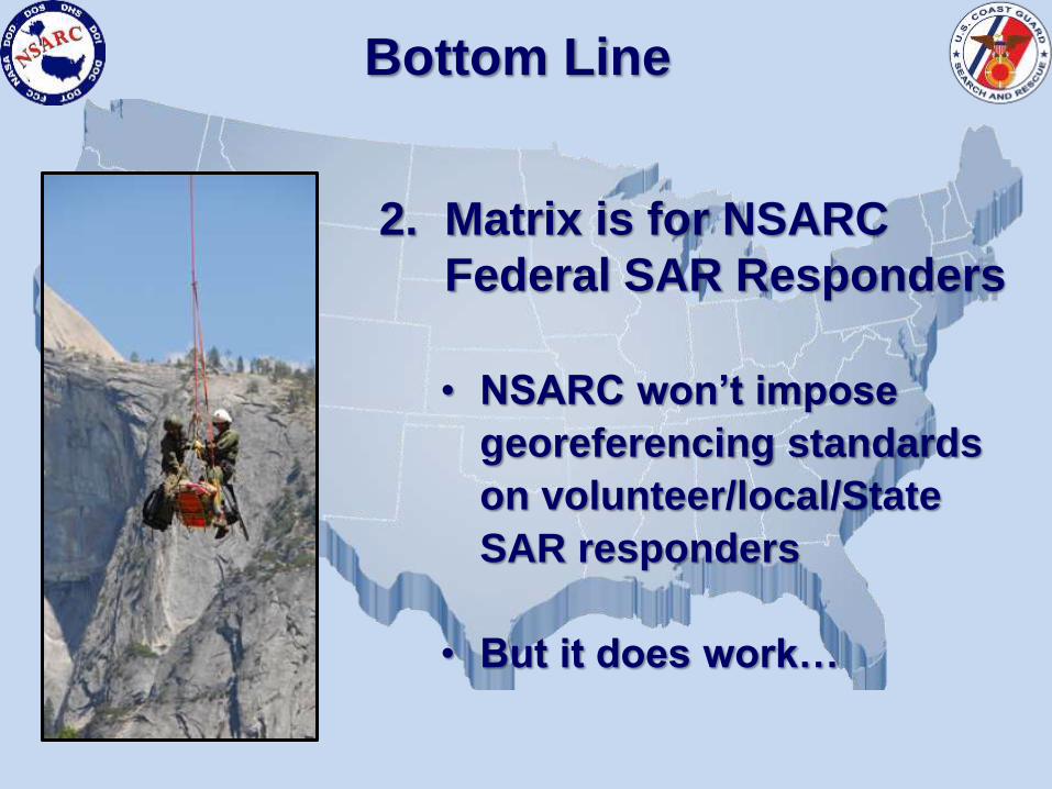
2. Matrix is for NSARC
Federal SAR Responders
Bottom Line
• NSARC won’t impose
georeferencing standards
on volunteer/local/State
SAR responders
• But it does work…
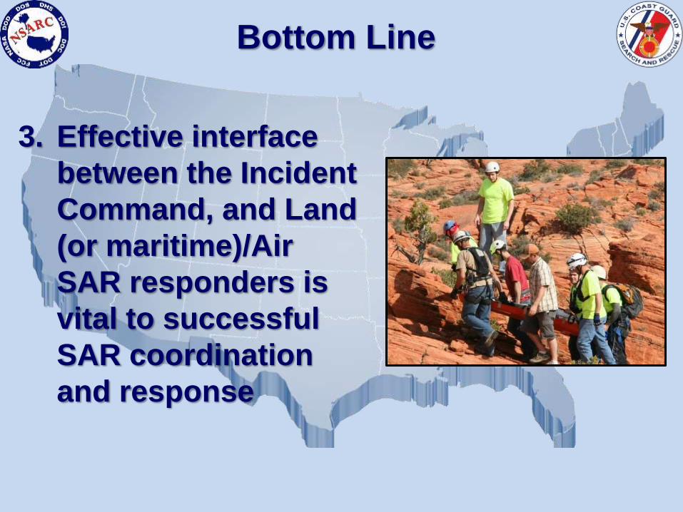
3. Effective interface
between the Incident
Command, and Land
(or maritime)/Air
SAR responders is
vital to successful
SAR coordination
and response
Bottom Line
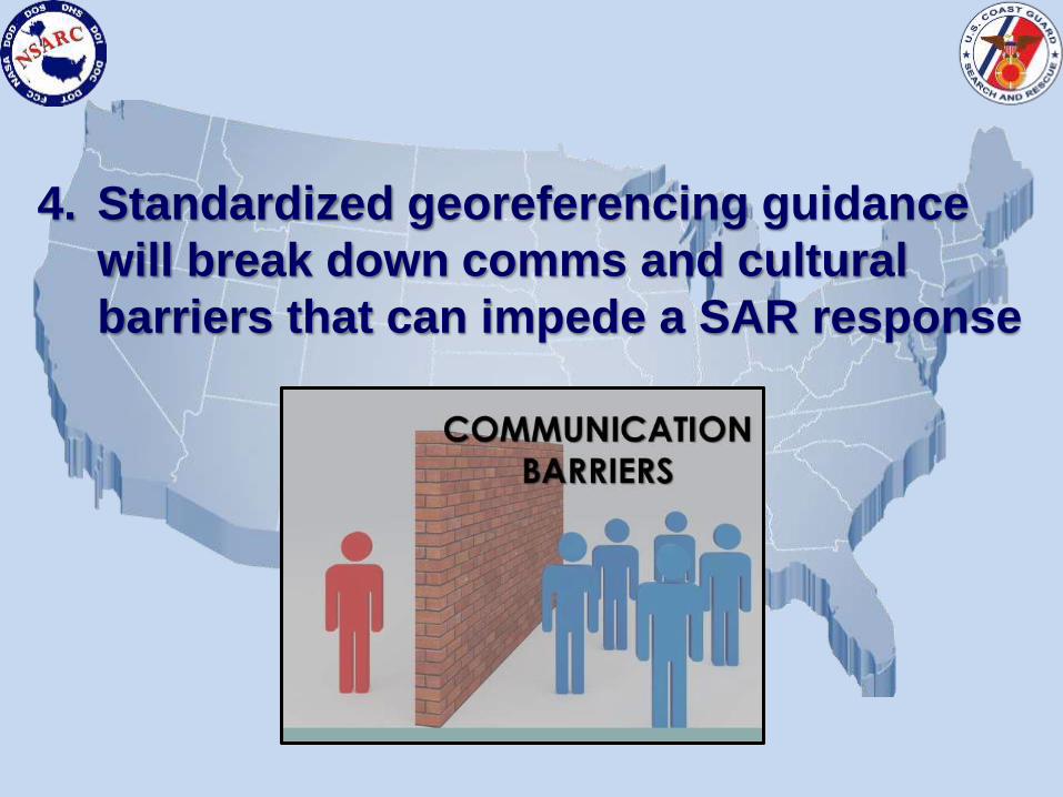
4. Standardized georeferencing guidance
will break down comms and cultural
barriers that can impede a SAR response

Questions?
NSARC: www.uscg.mil/nsarc
Background Slides
Lat/Long,
USNG
and
GARS
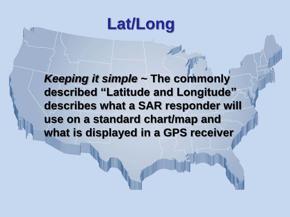
Keeping it simple ~ The commonly
described “Latitude and Longitude”
describes what a SAR responder will
use on a standard chart/map and
what is displayed in a GPS receiver
Lat/Long
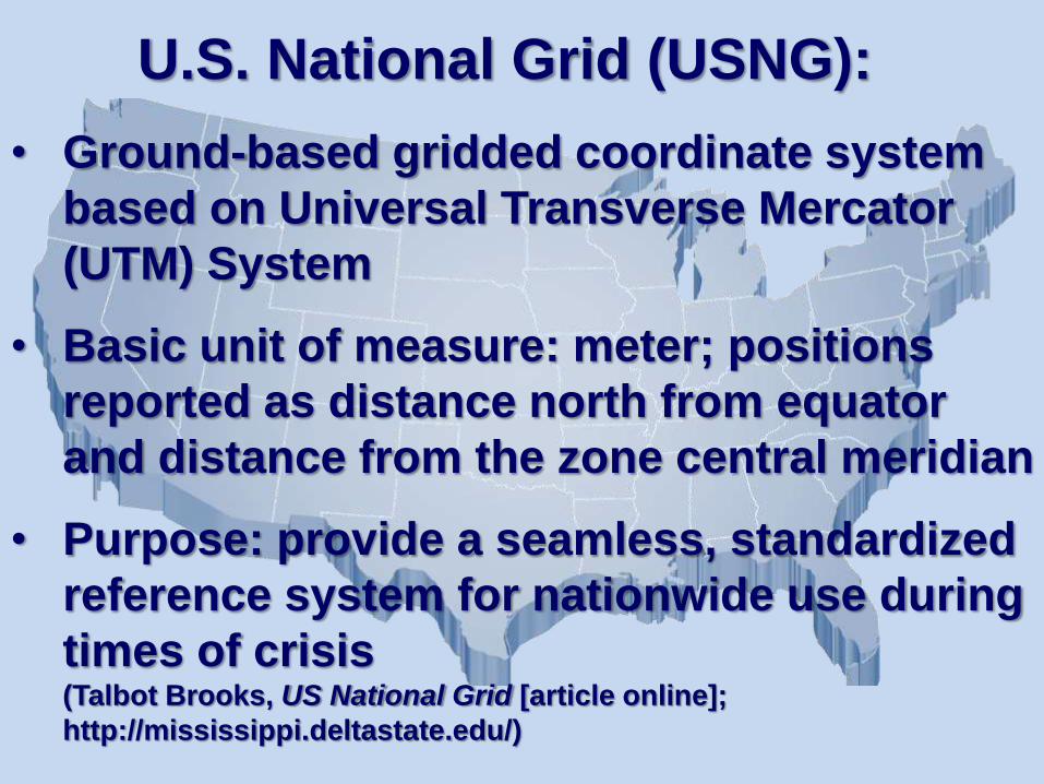
U.S. National Grid (USNG):
• Ground-based gridded coordinate system
based on Universal Transverse Mercator
(UTM) System
• Basic unit of measure: meter; positions
reported as distance north from equator
and distance from the zone central meridian
• Purpose: provide a seamless, standardized
reference system for nationwide use during
times of crisis(Talbot Brooks, US National Grid [article online];
http://mississippi.deltastate.edu/)
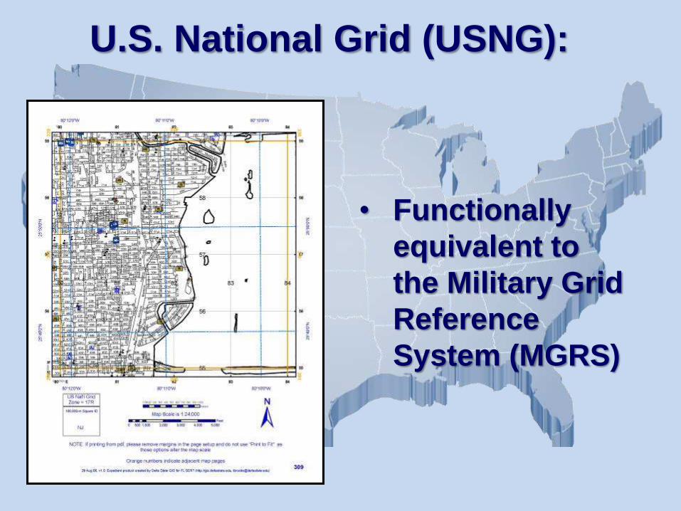
• Functionally
equivalent to
the Military Grid
Reference
System (MGRS)
U.S. National Grid (USNG):
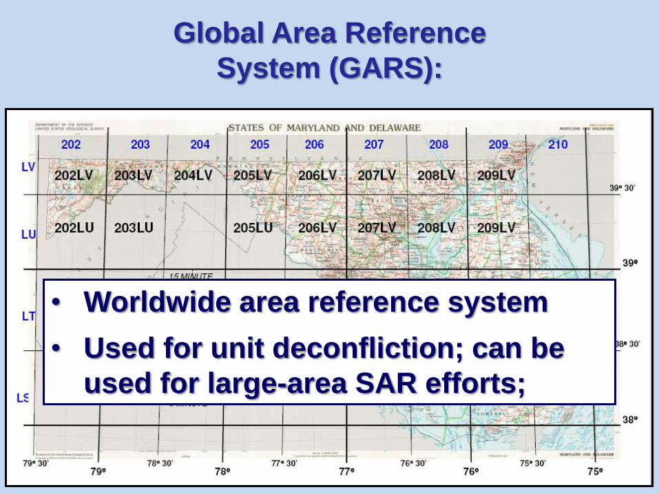
Global Area Reference
System (GARS):
• Worldwide area reference system
• Used for unit deconfliction; can be
used for large-area SAR efforts;
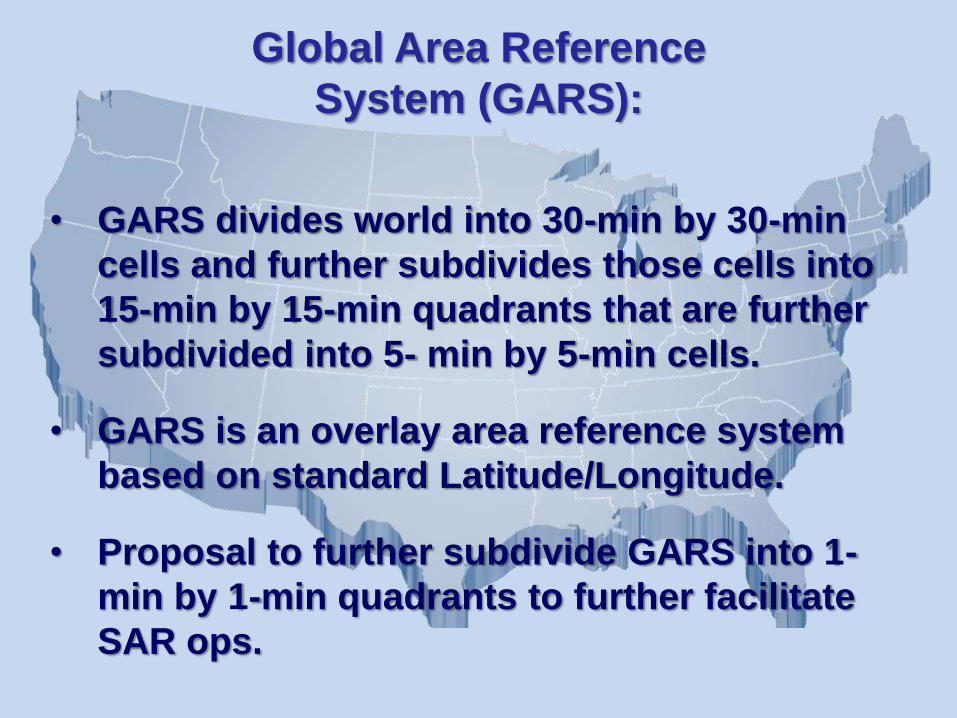
• GARS divides world into 30-min by 30-min
cells and further subdivides those cells into
15-min by 15-min quadrants that are further
subdivided into 5- min by 5-min cells.
• GARS is an overlay area reference system
based on standard Latitude/Longitude.
• Proposal to further subdivide GARS into 1-
min by 1-min quadrants to further facilitate
SAR ops.
Global Area Reference
System (GARS):