f l o o d s m i
TRANSCRIPT
FLOODS MITIGATION TECHNICAL GUIDELINES AND STREATGY FOR PAKISTAN
INTRODUCTIONFloods are almost annual events in Pakistan. Pakistan has been experiencing
floods mainly because of its topography, Sind, Kabul and swat are three hazard prone rivers, and due to climatic and ecological condition, Pakistan constantly
received flooding every year. This is not a matter of concern every year. However, when floods exceed normal flooding level, they take dangerous
turns. Many times in the history of Pakistan, floods took severe and sometimes catastrophic turns. In the past Pakistan experienced severe floods in 1973,
1992, 2006 and 2010. But 2010 flood breaks all past records. Latest Government estimates put the number of people directly affected by the
floods at 15.4 million, and the number continues to rise (National and Provincial Disaster Management Authorities, 16 August).
Assessments to establish the degree to which affected populations are in need of immediate humanitarian assistance continue. The official death toll has
risen to 1,402, with 2,024 people reported as injured. Over893,000 houses are now reported to have been either damaged or destroyed.
Disasters in Pakistan
• Pakistan is confronting series of disasters in recent past, 2005 earth quake, Hunza land slide, air blue crash, and 2010 Floods, are major disasters. These disasters have different type and onset but resulted huge damage to life and property .Pakistan is facing different problems like terrorism, political uncertainty which badly affected the government and its institutions capacity.
• Government of Pakistan after 2005 earth quake establish a authority for disaster management but due to lack of technical knowledge and manpower the authority fail to play its role effectively while coping these disasters, there is an urgent need to built the capacity of this authority and also clearly lay down its bylaws and mandate , NDMA think that its role is only to regulatory which is totally wrong perception, the role of any National disaster management authority all over the world is to regulate ,coordinate , develop systems and train technically manpower for disaster management.
Disaster management in Pakistan
• Disaster management is multidimensional field and required technical knowledge to get job done ,army can not manage disaster , army can manage war and law and order ,the only role army can play in disaster management is that they can respond to post disaster phase for rescue , relief and recovery on request , but here we misuse army in disaster management which not only kept them away from their original task but also put extra burden on armed forces, in spite from the fact that army play a exceilent and efficient role in all national calamities , on other hand it also indicate weakness in NDMA ,which is responsible to provide technical assistance to other government agencies in disaster management, But we witness that due to lack of technical knowledge and techniques we suffer maximum damages in term of life and property, e.g. in Air Blue crash the plane caught by fire for many hours and rescue workers reached the spot in minimum possible time but they fail to control the fire and rescue the victims because they don’t have fire fighting knowledge ,this fire can easily be controlled if they put green bushes on fire which is very effective instrument in absence of water, these green bushes are wild and extensively available at crash spot ,but we let the bodies burn to ashes ,secondly I also observed the search operation for black box which was also conducted in nonprofessional manners ,CDA worker and other common people are exploring the area like doges exploring bones outside the butcher shop and official called its search operation which is purely technical think and done through scientific methods.
DISASTER RESPONSE SYSTEM IN PAKISTAN
• Due to frequent occurrence of disasters induced by natural hazards, the National disaster management authority(NDMA), which has been given the responsibility and mandate for coordinating national disaster management efforts across all agencies. The newly born authority fails to develop system across the country to handle disaster at national level .
• Training and capacity building of the officials dealing with emergencies would be an important instrument of disaster reduction and recovery. While natural hazards cannot be controlled, the vulnerability to these
• Hazards can be reduced by planned mitigation and preparedness measures. There needs to be concerted and sustained steps towards reducing the vulnerability of the community to disasters.
• Importance of disaster management• Taking into consideration the value of development gains which are wiped out through disasters, as also
the huge quantum of funds required for post disaster relief and rehabilitation, any investment in disaster mitigation will yield a higher rate of return than any other development project. Also considering the developmental gains, which are wiped out because of disasters, all development schemes/projects will need to incorporate disaster assessment and vulnerability reduction as critical components in order that the development process be sustainable. Therefore, a paradigm shift has now taken place with the shift in focus from reactive to proactive i.e. from relief to prevention and mitigation of disasters

PAKISTAN ORGANIZATIONAL STRUCTURE FOR DISASTER MANAGEMENT
• NDMA National• PDMA Provincial• DDMA District• • IMPACTS OF 2010 FLASH FLOODING• Many houses and bridges have been destroyed due to flash flooding and also, due to the water
accompanied debris, which mostly consists of timber logs, tree branches and uprooted trees of different sizes. The mass of debris has been created by destabilization of slope, the sub soil layer and vegetation over the same which is transported by the floodwaters. Mountainous watershed systems in northern Pakistan collectively send water to rivers leading downstream areas
• • 2010 FLOOD IN URBAN AREAS NOSHERA • The city of Noshera and few other urban areas of Punjab and Sind located in the flood plain of
the swat and Sind Rivers badly destroyed by floodwater associated with heavy rain. The urban area is located in the catchments, In Noshera city debris flow and flooding caused damages and losses to shops, commercial centers and house hold items such as furniture, electronic items so on. The city transportation system, water supply, sewerage and drainage systems were also subjected to severe destruction or failure in functioning.
Consequences of poor disaster management
• 2005 earth quake is fast onset disaster, all damages are natural and one can not criticized government or any authority because in fast onset disaster damage to life and property can not be minimized by any mean, 2010 flood is slow onset disaster in which damage to life and property is failure of NDMA and government of Pakistan because in slow onset disaster damages can be minimized if a country have system in place (like early warning system, hazard assessment, risk calculation etc). Political differences amongst federal and provincial governments leading the Flood 2010 disaster toward complex disaster
• If government of Pakistan and international community fail to manage or poorly managed 2010 flood disaster then it will resulted dire consequences for Pakistan and rest of the world .If we calculate the amount of damage, magnitude and spread of this disaster, there is a immediate need to manage this disaster properly, if serious steps will not be taken by Government, UN and donor countries the situation will create complex disaster which later on change into second disaster which not only affect Pakistan but the whole civilized world.

Complex Disasters-
• Complex disasters exist where adverse political conditions compound a disaster or emergency situation. Such situations are complicated because the breakdown of the political structure makes assistance or intervention difficult. This sort of emergency is usually associated with the problems of displaced people during times of civil conflict or with people in need caught in areas of conflict.
• • • THE SECOND DISASTER• The actual disaster results in a lot of damage to the population in terms of loss of life and property.
This direct result can be dubbed as the ‘first disaster’. The impact of the first disaster sends another wave of damage triggered by chain of events relating to the first disaster by means of cause-and-effect, resulting in indirect damage to people remote from the original disaster. This can be called the ‘second disaster’. For example, tsunami had caused loss in terms of life, damage to houses, etc. This is the first disaster. This leads to disruption in the trade of fishing industries, which suffers massive financial losses. The losses suffered by these industries results in lower wages and salaries to those involved in the fishing business. These people cannot repay their loans, resulting in losses to money lenders, and so on. Such events can also result in higher incidences of Looting robberies civil war, heart attacks, strokes, suicides and homicides. This is called ‘second disaster’ and can be in greater magnitude than the ‘first disaster’. Proper rehabilitation and care of the victims of first disaster can break the chain of events leading to the second disaster.
Supportive Technologies
• A number of tools are available to array and display information for the use of technical experts, to explain programmes of flood damage reduction to the decision-makers, and to communicate real time forecasts and warnings to the public. In general the tools should be interactive in the sense that the information can be easily updated, and flexible enough to develop scenarios, and to provide visual and quantitative information regarding the state of conditions during the forecasted event.
FLOOD ADVISORY/WARNING (READY, GET SET, GO)
• • MEANING• The message suggests awareness that flooding is possible within the next24 hours The message
suggests preparedness and that flooding is threatening within the next 12 hours The message prompts response as flooding is expected to occur/or will persist within the next 12hours
• • To minimize flood damage the basic approach is to prevent flood waters from reaching the
damage vulnerable centers. The Flood Forecasting Network sends information to all the major flood prone inter-Provincial river basins in the country. Information from satellites is used for mapping and monitoring flood prone areas. The Flood commissioner under the Ministry of Water issues flood forecasts and Warnings. A flood alert is issued well in advance of the actual arrival of floods to enable People to take appropriate measures and shift to safer places.
• Despite this, floods continue to be a menace primarily because of the huge quantum of silt, which has raised the bed level in many rivers. During high floods, many breaches occur, causing inundation over vast areas for most of the monsoon months of June to September. The country thus needs a better and effective flood mitigation system to ensure the safety of its people and economy.

Who is Responsible for damages?
2010 floods are historical in term of magnitude and spread out, Pakistan is exposed to floods almost every year but the recent floods breaks all records of the past, If we put bird eye view on and affected area we see that amount of damage is maximum in term of property and livelihood, If we calculate damages ,first of all food basket of the country completely destroyed ,loss of livelihood ,loss of infrastructure. These damages can not be recovered or rehabilitated in short period of time by any mean, these damages are irrecoverable and irreversible, e.g. The soil of fertile basin plate of Indus River badly polluted and overlapped by flood salty mud which can not be removed shortly, this type of damage can create drought in country.

(1) Governments of Pakistan is responsible for Immoveable property and livelihood damages
• As a disaster manager I agree from the fact that in floods damages to moveable property can not be minimized by any mean but we can mitigate the risk of a hazard in pre flood period.
• Past and present Governments of Pakistan are responsible to Irrecoverable Damage to food basket or Indus basin plate of Pakistan ,because this damage can be minimized if government of Pakistan built Dams which is best instrument of flood control , Sind river is biggest in water flow but its water never ever generate floods because of Terbela dam which capacitated large amount of water and utilized for energy and irrigation purposes in spite from the fact that sind river have large potential of flood creation, Swat and kabal rivers generated flood because there water is unchecked or free in flow, technically both rivers must have dams for control over its water and flow but due to lack of technical knowledge ,mindless politics and poor planning of government of Pakistan and its concern institutions which not only push the country in darkness butt also destroyed its only god gifted agriculture resource
NDMA is responsible for damages to Life and moveable property
• In disaster manger eyes NDMA is responsible for damages to life and immoveable property ,Because flood is slow onset disaster not a fast onset disaster, which give enough time to Authorities for preparation and mitigation ,if NDMA have national disaster management strategy in place which includes (countrywide early warning system ,emergency management plan, Hydro meteorological hazards assessment, Structural / non-structural measures, , Environmental impact assessment, Environmental degradation assessment, Forecast ) damages can be minimized ,but due to lack of technical management and preplanning the whole country exposed to floods resulted damages to life and property of people ,on the other hand government and army also faced hard time in rescue and relief due to sudden occurrence. This poor management of flood raises questions in mind of international community that Pakistan suffers huge damages to life and property in slow onset disaster due to mismanagement .
• People of Pakistan are already suffering from poverty and energy crisis, now lost their bread and butter .Being a disaster manager we know that the impact of flood disaster is more destructive then earth quake, In earth quake damages are bi end while in floods damages are uni- end (bi-end life and property, uni-end only property).
• In earth quake people last there life, in floods people losses their livelihood and property so they demanded more resources and compensation and disaster of this nature need much resources and money for rehabilitation as compare to earth quake ,because population remain same and resources reduced

Potential Flood Hazard in Pakistan• I think that we have manpower and instrument but due to lack of technical knowledge we suffered
damages in disasters, Flood mitigation is not difficult task ,it can be managed properly through flood mitigation system, In Pakistan we have three potential Flood Hazard Moon soon rains, Northern glaciers and Dams
• Monsoon Rains• Firstly the country is more commonly exposed and vulnerable to moon soon rains which are predictable and
come periodically ,With modern satellite weather forecast we can take affective measures to minimize its damages, because in floods only immovable property and crops are vulnerable and people , livestock and moveable property can be saved ,but here we suffer maximum damages in flood and turn whole country in to disaster, we must have early warning system which can inform vulnerable community about hazard ,secondly we must have Hazard assessment like amount of water in rivers , river delta capacity and the water spread area, forecast through which these damages can be minimized.
• Dams• Second potential hazards are Terbela, Mangla dams, which due to any sudden event can create Flood
disaster, for this type of hazard we must educate those people whose are vulnerable in downstream area about risk and hazard (e.g. Everybody must have boat or tire tubes according to house hold size), this type of risk reduction tools save life of people.
• Third Northern glaciers• Melting of glaciers in northern Pakistan due to global warming is also potential hazard, this hazard can
generate flood in Pakistan .we can reduce its affect by constructing Dam in northern area
Factors behind flood in Pakistan
• (1) Environmental degradation• Environmental degradation is major factor behind floods in Pakistan • Potential effects are varied and may contribute to an increase in vulnerability and
the frequency and intensity of natural hazards.• Some examples: land degradation, deforestation, desertification, wild land fires,
loss of biodiversity, land, water and air pollution, climate change, sea level rise and ozone depletion.
• (2)Global warming• Global warming is an other major factor of floods in Pakistan, Developed industrial
states and wild fires contributing major share in global warming which resulted heavy and long spell rains, melting of snow, raise in sea level, storms and floods, in my view moon soon rains are annually fall but this time the unpredictable increase in rain fall is due to global warming resulted flood in Pakistan e.g. recent wild fire in Russia resulted heavy and large scale rains in Pakistan resulted flood
FLOODS
• A flood is a situation in which water temporarily covers land where it normally doesn’t. This water comes from the sea, lakes, rivers, canals or sewers. It can also be rainwater. Floods can be described according to speed (flash flood), geography or cause of flooding.
• Floods are among the most common and destructive natural hazards causing extensive damage to infrastructure, public and private services, the environment, the economy and devastation to human settlements. Recurring flood losses have handicapped the economic development of both developed and developing countries. Floods usually are local, short-lived events that can happen suddenly and sometimes with little or no warning. They usually are caused by intense storms that produce more runoff than an area can store or a stream can carry within its normal channel. Rivers can also flood its surroundings when the dams fail, when ice or a landslide temporarily block the course of the river channel, or when snow melts rapidly. In a broader sense, normally dry lands can be flooded by high lake levels, by high tides, or by waves driven ashore by strong winds. Small streams are subject to floods (very rapid increases in runoff), which may last from a few minutes to a few hours. On larger streams, floods usually last from several hours to a few days. A series of storms might keep a river above flood stage (the water level at which a river overflows its banks) for several weeks.
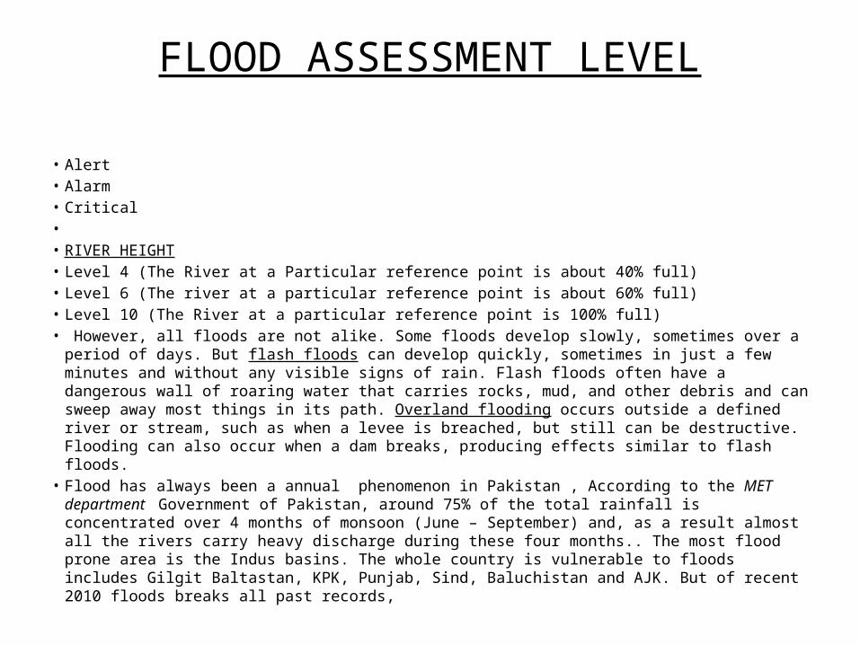
FLOOD ASSESSMENT LEVEL
• Alert• Alarm• Critical• • RIVER HEIGHT• Level 4 (The River at a Particular reference point is about 40% full)• Level 6 (The river at a particular reference point is about 60% full)• Level 10 (The River at a particular reference point is 100% full)• However, all floods are not alike. Some floods develop slowly, sometimes over a period of days. But
flash floods can develop quickly, sometimes in just a few minutes and without any visible signs of rain. Flash floods often have a dangerous wall of roaring water that carries rocks, mud, and other debris and can sweep away most things in its path. Overland flooding occurs outside a defined river or stream, such as when a levee is breached, but still can be destructive. Flooding can also occur when a dam breaks, producing effects similar to flash floods.
• Flood has always been a annual phenomenon in Pakistan , According to the MET department Government of Pakistan, around 75% of the total rainfall is concentrated over 4 months of monsoon (June – September) and, as a result almost all the rivers carry heavy discharge during these four months.. The most flood prone area is the Indus basins. The whole country is vulnerable to floods includes Gilgit Baltastan, KPK, Punjab, Sind, Baluchistan and AJK. But of recent 2010 floods breaks all past records,
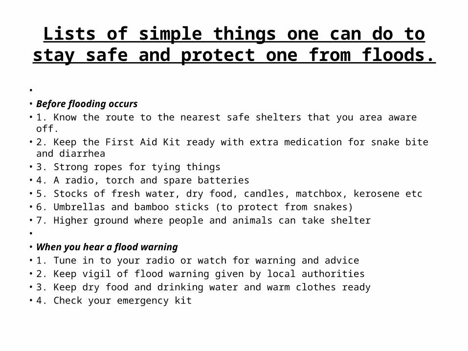
Lists of simple things one can do to stay safe and protect one from floods.
• • Before flooding occurs• 1. Know the route to the nearest safe shelters that you area aware off.• 2. Keep the First Aid Kit ready with extra medication for snake bite and diarrhea• 3. Strong ropes for tying things• 4. A radio, torch and spare batteries• 5. Stocks of fresh water, dry food, candles, matchbox, kerosene etc• 6. Umbrellas and bamboo sticks (to protect from snakes)• 7. Higher ground where people and animals can take shelter• • When you hear a flood warning• 1. Tune in to your radio or watch for warning and advice• 2. Keep vigil of flood warning given by local authorities• 3. Keep dry food and drinking water and warm clothes ready• 4. Check your emergency kit

Lists of simple things one can do to stay safe and protect one from floods
• If you need to evacuate• 1. Pack clothing, essential medication, valuables, personal papers etc in water proof bags to be taken to
the safe shelter.• 2. Raise furniture, appliances on beds and tables• 3. Put sandbags in the toilet bowl and cover all drain holes to prevent sewage back flow.• 4. Do not get into water of unknown depth and current• 5. Lock your house and take the recommended or known evacuation routes for your area of safe shelter.• • • During Floods• 1. Drink boiled water or use halogen tablet to purify water before drinking.• 2. Keep your food covered• 3. Do not let children remain on empty stomach• 4. Use bleaching powder and lime to disinfect the surroundings• 5. Avoid entering flood waters. If you need to enter then were proper foot wear.• 6. Stay away from water over knee level.•

Lists of simple things one can do to stay safe and protect one from floods
• After a Flood• 1. Stay tuned to local radio.• 2. Do not allow children to play in, or near, flood waters.• 3. Stay away from drains, culverts.• 4. Do not use electrical appliances.• 5. Do not eat food, which has been in floodwaters.• 6. Boil tap water.• 7. Use halogen tablets before drinking.• 8. be careful of snake bites, snakebites are common
during floods

Flood Resistance and Resilience measures
• • Flood Resistance and Resilience• Where buildings must be located in areas with medium to high levels of
flood risk, the incorporation of flood resistance and resilience at the design stage can reduce the impacts should inundation occur. Standard measures include the provision of a minimum freeboard above ground or predicted flood level, and the use of resilient fixtures and fittings within.
• Flood resistance measures include:• • Fitting one way valves to sewage pipes, or the use of temporary bungs;• • Sump and pump systems to remove water from buildings faster than it
enters; and• • Temporary door or air vent flood boards to stop the entry of flood water.
Flood resilience measures include:
• • Use of concrete floors rather than timber;• • Location of boilers, and electrical above the possible flood level;• • No chipboard or MDF, instead using plastic and metal alternatives; and• • Lime plaster or cement render rather than conventional gypsum plaster.• Retrofitting flooded properties during the repair procedure with these is common
practice.• These measures are not necessarily more expensive than conventional techniques, but
will significantly reduce the damage, cost and time to repair if properties are flooded.• Future Proofing• It is important that new developments, particularly in the higher flood risk zones, are
future proofed against uncertainty. Therefore it is advised that proposed flood mitigation measures associated with developments are reviewed at the detailed FRA stage, paying attention to the potential implications of future changes in climate and land use. The application of the precautionary principle and the provision of freeboard and flood resistance and resilience in buildings can mitigate future increases in flood risk at relatively low cost at the design and construction stage.

Other Measures
• Measures to mitigate the risks of flooding both to and from development are not necessarily limited to those above. Depending on the specific risks relating to a site, the following investigations / options may need further consideration at the detailed FRA stage of development planning:
• • Flood resistance / resilience measures specific to the potential for groundwater flooding;
• • Management of surface ‘run-on’ (i.e. runoff entering the site from upslope areas) as part of the development’s drainage strategy;
• • Maintenance / improvement of watercourses, culverts, drain and sewerage networks to reduce associated flood risks.
Flood Preparedness Planning
• Flood Preparedness Planning• Flood preparedness planning is about putting in place a set of appropriate arrangements in advance for
an effective response to floods. Some of the commonly identified flood preparedness activities are:• • Public awareness rising on flood preparedness, response and mitigation measures;• • Stockpiling of emergency relief materials i.e., food, fodder for livestock, emergency medicines,
materials for temporary shelter etc;• • Installation of community-based early warning system for issuance of timely and effective flood
warnings;• • Management of safe areas for temporary removal of people and property from a threatened location;• • Transportation to safe areas/ evacuation centre;• • Ensuring access to health and sanitation facilities;• • Conducting drills and rehearsals.• • The key to flood preparedness planning is to have a clarity and agreement on the roles and
responsibilities of relevant stakeholders such as the government line agencies, disaster management organizations, Red Cross, voluntary groups as well as community members. Such an arrangement is possible by forming disaster management authorities and teams at various levels to agree on set of standard operating procedures (SOPs) defining what actions to be taken before, during and after floods.
Flood preparedness Planning steps
• • Systematic arrangement and deployment of resources to reduce the impact of flood disaster;
• • Vulnerable communities to get access to crucial information, such as timely flood forecasts and warnings;
• • The provision of basic needs, such as shelter and medical care, clean water, sanitation and food during floods;
• • Continued access to livelihoods, in order to minimize disruption of economic activities;
• • Effective coordination among disaster management agencies to ensure efficient emergency response during floods;
• • Urgent restoration of critical infrastructure and measures to be taken to bring normalcy immediately after the floods.

The components of a FPP:
• 1. Assessment of probable needs: Based on historical data from previous flood disasters, officials at the State and district levels compile a list of likely needs and available resources. Gaps between needs and resources are identified in advance and also ways to mobilize them.
• 2. Institutional Mechanism for implementation of FPP: The Flood Preparedness Plan outlines the institutional structure of the States, District or Community level Committees for Disaster Management, its roles and responsibilities before, during and after floods. The Plan also establishes the coordination among the line agencies and other stakeholders in implementation of priority activities identified in the plan.
• 3. Activating early warning and disaster response systems: The FPP defines how to warn the whole community, based on the forecast received from the national and regional agencies and what they should do in advance. The plan ensures ways of involving all stakeholders, according to their roles and responsibilities, and outlines these in the plan.
• 4. Resource mobilization and allocation. Responding to a flood requires resources; therefore the plan specifies what resources are already available at the State, district, community and village levels. The plan also specifies what resources will be needed and where to find those resources.
• 5. Communication within and outside the community. To ensure clear and effective messages in an emergency, the plan specifies how communication will take place and via what media (radio or indigenous systems, etc.)
• 6. Sectoral components. A flood preparedness plan outlines standard operating procedures (SOPs) for specific measures such as search & rescue, emergency medical assistance, provision of water supply and sanitation, food and nutrition, logistics and transport, health, agriculture and environment management, temporary shelter, evacuation procedures; protection and security.
•

Implementation Arrangement of the Flood Control and Search & Rescue Plan at all levels.
•a. Coordination among Line Agencies
• b. Sectoral Plan development Infrastructure Restoration• c. Search and Rescue• d. Relief and Social Policies• e. Health, Education and Environment• f. Information and Communication• g. Reporting scheme• h and Report formats• i. Dissemination of the Plan

Roles and Responsibility of Line Agencies at Province, District, Cities in three phases of Flood
• a. Agriculture•
b. Transport• c. Education• d. Committee of Population• e. Construction• f. Health• g. Electricity & Water• h. .Post, Radio and Television• i Industry:• j. Hydrometeorology station• k Police• l. Armed forces• m. Red Cross• n. Labor, invalids and social affairs:
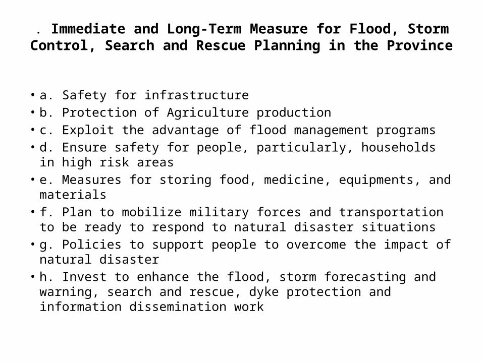
. Immediate and Long-Term Measure for Flood, Storm Control, Search and Rescue Planning in the Province
• a. Safety for infrastructure• b. Protection of Agriculture production• c. Exploit the advantage of flood management programs• d. Ensure safety for people, particularly, households in high risk areas• e. Measures for storing food, medicine, equipments, and materials• f. Plan to mobilize military forces and transportation to be ready to
respond to natural disaster situations• g. Policies to support people to overcome the impact of natural
disaster• h. Invest to enhance the flood, storm forecasting and warning, search
and rescue, dyke protection and information dissemination work

HAZARD, VULNERABILITY AND CAPACITY ANALYSIS
• . •
Hazards• Vulnerability analysis• Provincial Resources• Number of Safe Area and Location• Transportation• Communication system• Human Resources• Organizations•
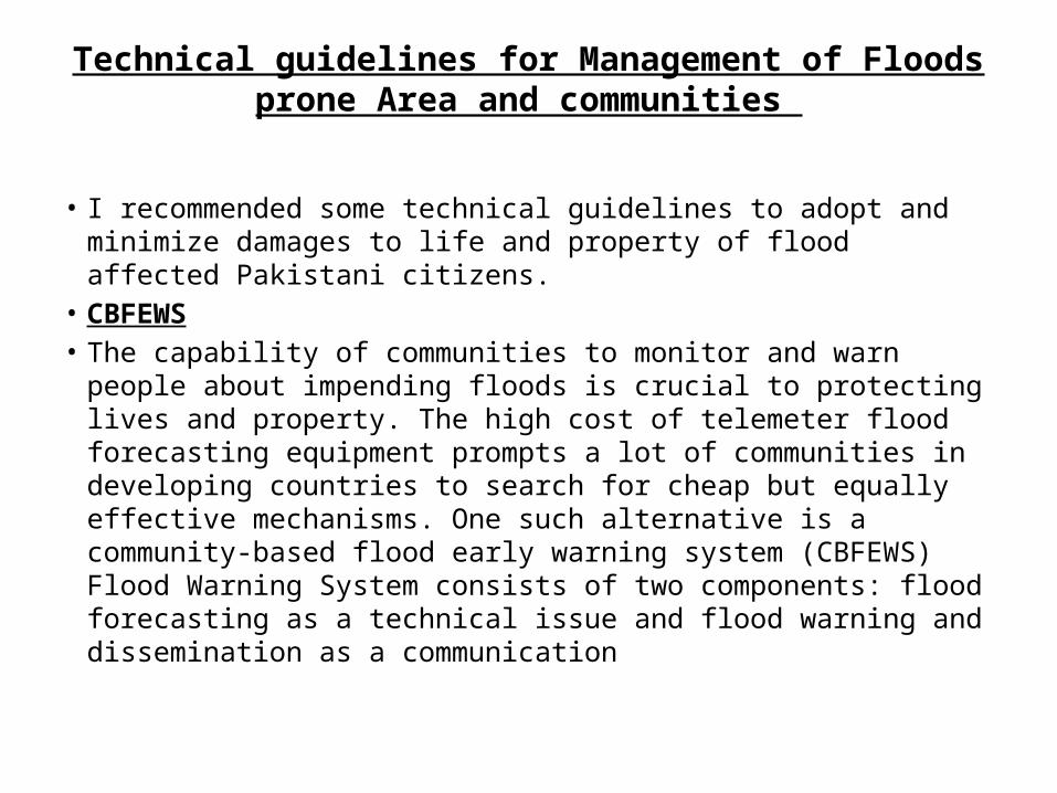
Technical guidelines for Management of Floods prone Area and communities
• I recommended some technical guidelines to adopt and minimize damages to life and property of flood affected Pakistani citizens.
• CBFEWS• The capability of communities to monitor and warn people about
impending floods is crucial to protecting lives and property. The high cost of telemeter flood forecasting equipment prompts a lot of communities in developing countries to search for cheap but equally effective mechanisms. One such alternative is a community-based flood early warning system (CBFEWS) Flood Warning System consists of two components: flood forecasting as a technical issue and flood warning and dissemination as a communication

VICTIM VICTIMS AND SURVIVORS OF FLOOD
• Almost everyone in the population is affected by a disaster. No one is untouched by it. Those who suffer damage are called victims. The victims may die or live. Those who manage to live are called survivors. These survivors can be classified as.
• Primary survivor – One who is exposed to the disaster first-hand and then survives. They are called ‘survivor victims’.
• Secondary survivor – One who grieves the loss of primary victims? Example, a mother who lost her child, or a man who lost his friend.
• Third level survivor – The rescue and relief personnel. These people are also affected due to the disaster as they are at the site of disaster and undergo almost the same mental trauma as the other victims.
• Fourth level survivor – Reporters, Government personnel, traders, etc.• Fifth level survivor – People who read about or see the event in media
reports
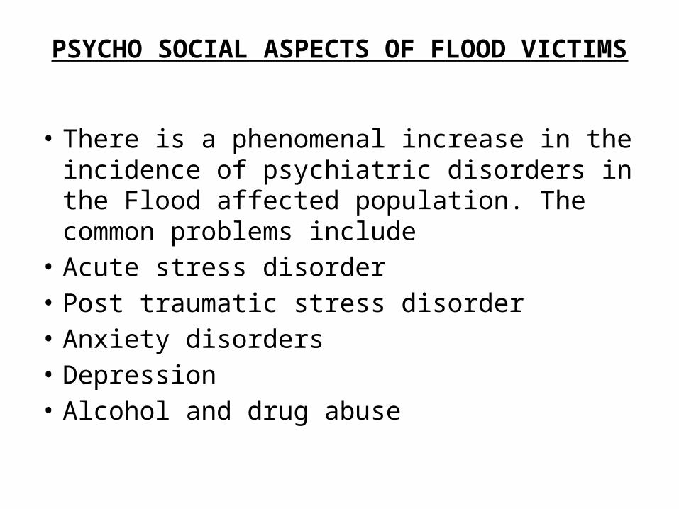
PSYCHO SOCIAL ASPECTS OF FLOOD VICTIMS
• There is a phenomenal increase in the incidence of psychiatric disorders in the Flood affected population. The common problems include
• Acute stress disorder• Post traumatic stress disorder• Anxiety disorders• Depression• Alcohol and drug abuse
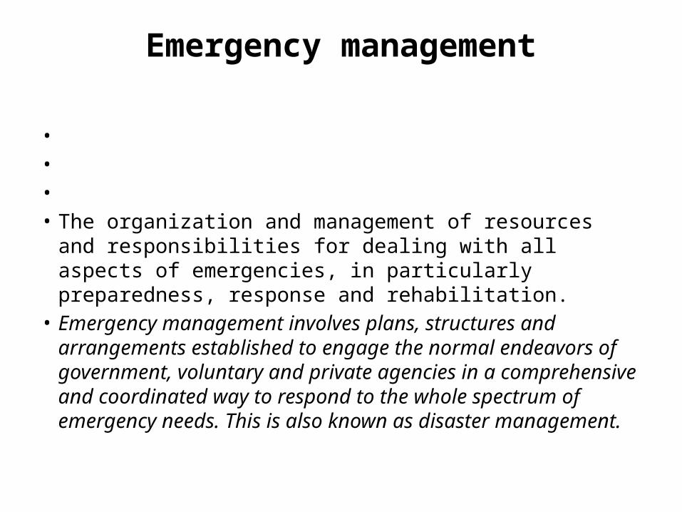
Emergency management
• • • • The organization and management of resources and
responsibilities for dealing with all aspects of emergencies, in particularly preparedness, response and rehabilitation.
• Emergency management involves plans, structures and arrangements established to engage the normal endeavors of government, voluntary and private agencies in a comprehensive and coordinated way to respond to the whole spectrum of emergency needs. This is also known as disaster management.
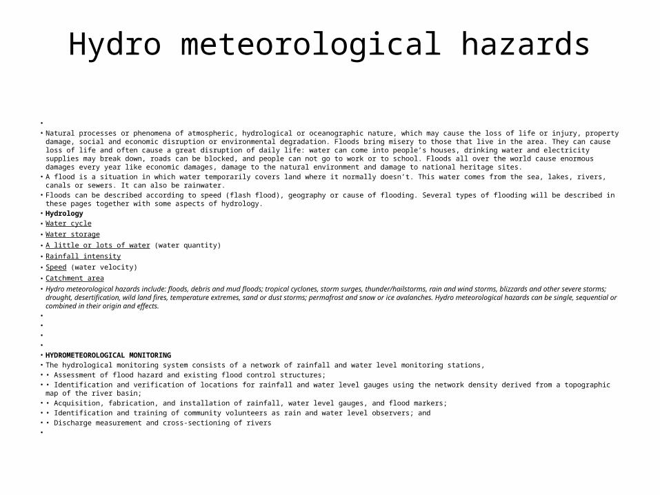
Hydro meteorological hazards
• • Natural processes or phenomena of atmospheric, hydrological or oceanographic nature, which may cause the loss of life or injury, property damage, social and economic disruption
or environmental degradation. Floods bring misery to those that live in the area. They can cause loss of life and often cause a great disruption of daily life: water can come into people’s houses, drinking water and electricity supplies may break down, roads can be blocked, and people can not go to work or to school. Floods all over the world cause enormous damages every year like economic damages, damage to the natural environment and damage to national heritage sites.
• A flood is a situation in which water temporarily covers land where it normally doesn’t. This water comes from the sea, lakes, rivers, canals or sewers. It can also be rainwater.• Floods can be described according to speed (flash flood), geography or cause of flooding. Several types of flooding will be described in these pages together with some aspects of
hydrology. • Hydrology• Water cycle • Water storage • A little or lots of water (water quantity) • Rainfall intensity • Speed (water velocity) • Catchment area • Hydro meteorological hazards include: floods, debris and mud floods; tropical cyclones, storm surges, thunder/hailstorms, rain and wind storms, blizzards and other severe storms;
drought, desertification, wild land fires, temperature extremes, sand or dust storms; permafrost and snow or ice avalanches. Hydro meteorological hazards can be single, sequential or combined in their origin and effects.
• • • • • HYDROMETEOROLOGICAL MONITORING• The hydrological monitoring system consists of a network of rainfall and water level monitoring stations, • • Assessment of flood hazard and existing flood control structures;• • Identification and verification of locations for rainfall and water level gauges using the network density derived from a topographic map of the river basin;• • Acquisition, fabrication, and installation of rainfall, water level gauges, and flood markers;• • Identification and training of community volunteers as rain and water level observers; and• • Discharge measurement and cross-sectioning of rivers•
Risk assessment/analysis
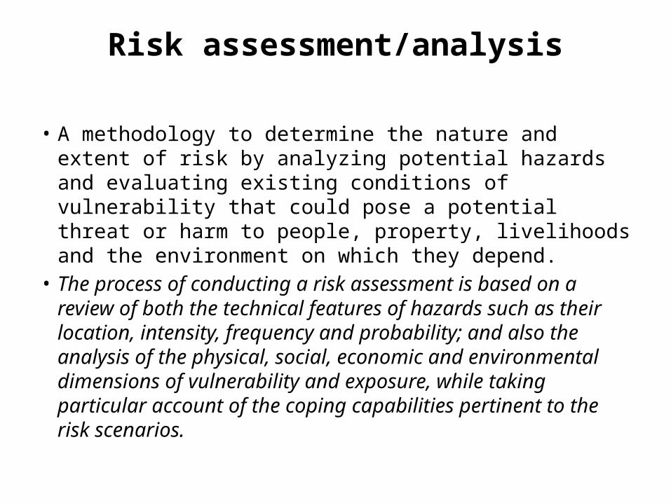
• A methodology to determine the nature and extent of risk by analyzing potential hazards and evaluating existing conditions of vulnerability that could pose a potential threat or harm to people, property, livelihoods and the environment on which they depend.
• The process of conducting a risk assessment is based on a review of both the technical features of hazards such as their location, intensity, frequency and probability; and also the analysis of the physical, social, economic and environmental dimensions of vulnerability and exposure, while taking particular account of the coping capabilities pertinent to the risk scenarios.
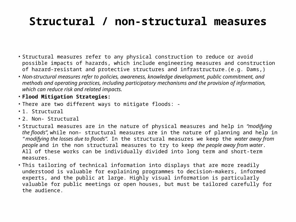
Structural / non-structural measures
• Structural measures refer to any physical construction to reduce or avoid possible impacts of hazards, which include engineering measures and construction of hazard-resistant and protective structures and infrastructure.(e.g. Dams,)
• Non-structural measures refer to policies, awareness, knowledge development, public commitment, and methods and operating practices, including participatory mechanisms and the provision of information, which can reduce risk and related impacts.
• Flood Mitigation Strategies:• There are two different ways to mitigate floods: -• 1. Structural• 2. Non- Structural• Structural measures are in the nature of physical measures and help in “modifying the floods”, while
non- structural measures are in the nature of planning and help in “modifying the losses due to floods”. In the structural measures we keep the water away from people and in the non structural measures to try to keep the people away from water. All of these works can be individually divided into long term and short-term measures.
• This tailoring of technical information into displays that are more readily understood is valuable for explaining programmes to decision-makers, informed experts, and the public at large. Highly visual information is particularly valuable for public meetings or open houses, but must be tailored carefully for the audience.

Land-use planning
• • • • • • Branch of physical and socio-economic planning that determines the means and assesses the
values or limitations of various options in which land is to be utilized, with the corresponding effects on different segments of the population or interests of a community taken into account in resulting decisions.
• Land-use planning involves studies and mapping, analysis of environmental and hazard data, formulation of alternative land-use decisions and design of a long-range plan for different geographical and administrative scales.
• Land-use planning can help to mitigate disasters and reduce risks by discouraging high-density settlements and construction of key installations in hazard-prone areas, control of population density and expansion, and in the sitting of service routes for transport, power, water, sewage and other critical facilities.
•
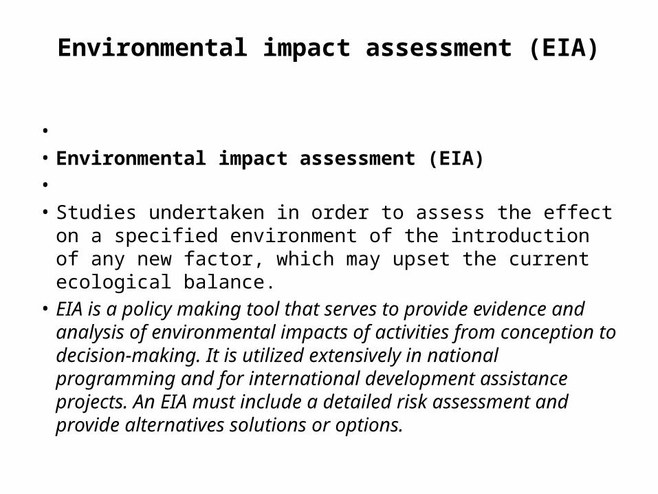
Environmental impact assessment (EIA)
• • Environmental impact assessment (EIA)• • Studies undertaken in order to assess the effect on a specified
environment of the introduction of any new factor, which may upset the current ecological balance.
• EIA is a policy making tool that serves to provide evidence and analysis of environmental impacts of activities from conception to decision-making. It is utilized extensively in national programming and for international development assistance projects. An EIA must include a detailed risk assessment and provide alternatives solutions or options.

Environmental degradation
• The reduction of the capacity of the environment to meet social and ecological objectives, and needs.
• Potential effects are varied and may contribute to an increase in vulnerability and the frequency and intensity of natural hazards.
• Some examples: land degradation, deforestation, desertification, wild land fires, loss of biodiversity, land, water and air pollution, climate change, sea level rise and ozone depletion
Forecast• Definite statement or statistical estimate of the occurrence of a future event • This term is used with different meanings in different disciplines.• Geological hazard• Natural earth processes or phenomena that may cause the loss of life or
injury, property damage, social and economic disruption or environmental degradation.
• Geological hazard includes internal earth processes or tectonic origin, such as earthquakes, geological fault activity, tsunamis, volcanic activity and emissions as well as external processes such as mass movements: landslides, rockslides, rock falls or avalanches, surfaces collapses, expansive soils and debris or mud flows.
• Geological hazards can be single, sequential or combined in their origin and effects.
Geographic information systems (GIS)
• Analysis that combine relational databases with spatial interpretation and outputs often in form of maps. A more elaborate definition is that of computer programmes for capturing, storing, checking, integrating, analyzing and displaying data about the earth that is spatially referenced.
• Geographical information systems are increasingly being utilized for hazard and vulnerability mapping and analysis, as well as for the application of disaster risk management measures.
• Geographic information systems• Geographic Information Systems (GIS) provide a computer-based
information and manipulation system useful in support off low forecasting and emergency response. Information from a variety of sources and scales can be combined as a series of layers, provided that the information can be identified in terms of the common denominator of location

Public awareness
• • • • • The processes of informing the general population, increasing levels of
consciousness about risks and how people can act to reduce their exposure to hazards. This is particularly important for public officials in fulfilling their responsibilities to save lives and property in the event of a disaster.
• Public awareness activities foster changes in behavior leading towards a culture of risk reduction. This involves public information, dissemination, education, radio or television broadcasts, use of printed media, as well as, the establishment of information centre and networks and community and participation action
Watershed Management
• • The water storage effect of vegetation, soil, shallow groundwater, wetlands and drainage as a
direct impact on the flood level in downstream areas. Each of these storage retain certain quantities of water for various periods of time and can influence the timing of tributary flows and hence their contribution to a flood event. The storage effect can be likened to a sponge and is dependent on the antecedent conditions and the magnitude of the flood. the impacts of land-use changes on flood events can be both positive and negative, so predictions are hard to make for a specific watershed. Generally the removal of forest and other natural cover, and the conversion of land to agricultural uses, compacts the soil and reduces infiltration rates, leading to higher flood peaks. Deforestation is believed to have been a significant cause of the catastrophic flooding in the Indus River. Deforestation and other land-use practices can also lead to greater incidences of landslides and mud flows. Natural water storage is also generally reduced due to the gradual loss of organic material and soil erosion, once an area is converted to agriculture. Additionally, natural vegetation may transpire moisture to the atmosphere at a greater rate than replacement crops, thereby affecting both the amount of storage available in the soil and the amount of local rainfall. Drainage of wetlands and marshes contributes directly to changes in the timing of runoff, the amount of natural storage in the basin, and the vulnerability of the channel to the erosive forces of water.

Climate Variability and Change
• There is growing concern about the impact of changing concentrations of greenhouse gases on our current climate system and the ramifications these changes might have on water availability. It is believed that further alterations of atmospheric chemistry could lead to increased abnormalities in climatic parameters such as temperature, precipitation and evaporate transpiration and might well lead to more dramatic impacts on stream flow patterns and extreme conditions. Some analyses of stream flow over the last 30 to 60 years have shown evidence of increasing and decreasing trends in the low flows, with marked geographic patterns to these trends. Thus far, there has been less evidence of trends in annual flood data for natural Indus basin. However based on scenarios of projected future atmospheric conditions, it is anticipated that there might be more pronounced alterations to the stream flow regimes in various regions of the world. If these projections are correct, more severe or extreme conditions may prevail.
Climate impacts on extreme events
• A number of studies on the potential impacts of climate change on flooding have been carried out as part of the work of the Inter governmental Panel on Climate Change These studies indicate potential future increases in flood peaks of approximately 15% in temperate zones due to increased storm activity and overall increases in depth of precipitation. At this point in time, it is not possible to predict potential increases in flood peaks due to climate change for specific basins with the degree of certainty necessary for their incorporation into the design and planning process. However, the freeboard on levees and other works can probably accommodate the potential modifications in extremes due to climate change through modified operating procedures of control structures.
Development of Policies, Strategies and Plans
• The development of policies, strategies and plans to combat the risks associated with natural disasters should be based on a comprehensive risk assessment. This requires an integrated approach whereby a wide range of mitigation measures should be considered. For example, mitigation activities such as hazardous land mapping (i.e., flood plain mapping plus landslide and mudslide-prone areas) should be designed so that considerations of other disaster types lead to sounder overall land use plans. In essence, there would be very little purpose in moving people and goods from one risk zone to another, especially if the other hazard is equally or more apt to occur under the prevailing conditions such as torrential rain. Within this overall process, full consideration needs to be given to the social, environmental and economic impacts of policy and programme development. This chapter provides guidance on aspects of flood hazards that need to be considered within the overall planning process. The aspects contain adhere in are meant to complement other materials in this guide, such as the development of a flow forecasting and warning system, which are important tools within the range of options to be considered.

Basin wide planning
• Reduction of flood losses must be considered, using the basin as the basic planning unit. It is absolutely essential to have knowledge of water uses, diversions, storage, and management practices in all parts of the basin, as well as the antecedent, present, and forecasted meteorological and hydrological conditions. Tran’s boundary basins represent a special challenge in that international collaboration is required. In such cases consideration should be given to expanding existing bilateral or regional arrangements for exchange of data and information and to the negotiation of treaties or agreements.
• Agreements can also include the option of projects of mutual advantage funded by all the countries involved, including construction of flood storage or other flood preventative measures at the most advantageous locations in the basin as a whole.

Drainage
• All planned development, whether in the floodplain or not, must consider the implications for its drainage on flood risk. In particular, this applies to development of green field sites, for which the significant increase in impermeable area can considerably increase runoff volumes and rates from the site. A strategic approach to the drainage of new urban areas is likely to increase the effectiveness and efficiency of the drainage and flood risk management proposals, and reduce the flood risks associated with new development.
Sustainable Drainage Systems (SuDS)
• PPS 25 requires that new development does not exacerbate flood risks elsewhere, which means there is a need to control drainage and runoff to ensure there are no increases in overland flow as a result of the development. Sustainable Drainage Systems (SuDS) are designed to mitigate the propensity of development to generate additional runoff. When considered at the planning stage, they can be implemented to reduce flood risk to downstream areas.
• “The philosophy of SuDS is to replicate as closely as possible the natural drainage from a site before development… so reducing the impact on receiving watercourses. This requires a reduction in the rate and volume of runoff from developments...
Advance preparation
• Assuming that there is advance warning of a major storm event, a number of steps can be taken to increase readiness. Such steps include: construction of temporary flood protection works; placing emergency response teams on high alert; distribution of critical materials such as stockpiled sandbags to targeted locations; and preparation of emergency shelters and hospitals prepared for occupation.
• The population at risk can be informed of what is expected of them in the actuality of an extreme event. As the event becomes more certain, actions such as evacuation of people, goods and machinery can begin. Even if the event is not as extreme as predicted, these preparations help test emergency response plans and inform the public as to the nature of natural hazards.
• Media and public information sessions help set the stage as well. The media are key players in the link between public officials and the public. It helps if they are familiar with the terminology used in warnings and forecasts and know whom to contact for more detailed information during an actual flood event.

After the flood event
• The emergency response does not end with the event, but continues through cleanup and resettlement stages. People will want to know what assistance will be made available, who is responsible, and how to go about seeking that assistance. Senior levels of government should develop clearly defined response policies and programmes in advance. In the absence of such policies, the response is often ad hoc, politically and emotionally motivated, and sets precedents that are not wise in the longer run.

Development of Policies, Strategies and Plans
• The development of policies, strategies and plans to combat the risks associated with natural disasters should be based on a comprehensive risk assessment. This requires an integrated approach whereby a wide range of mitigation measures should be considered. For example, mitigation activities such as hazardous land mapping (i.e., flood plain mapping plus landslide and mudslide-prone areas) should be designed so that considerations of other disaster types lead to sounder overall land use plans. In essence, there would be very little purpose in moving people and goods from one risk zone to another, especially if the other hazard is equally or more apt to occur under the prevailing conditions such as torrential rain. Within this overall process, full consideration needs to be given to the social, environmental and economic impacts of policy and programme development. This chapter provides guidance on aspects of flood hazards that need to be considered within the overall planning process. The aspects contained herein are meant to complement other materials in this guide, such as the development of a flow forecasting and warning system, which are important tools within the range of options to be considered. Basin wide planning Reduction of flood losses must be considered, using the basin as the basic planning unit. It is absolutely essential to have knowledge of water uses, diversions, storage, and management practices in all parts of the basin, as well as the antecedent, present, and forecasted meteorological and hydrological conditions.
•

CHALLENGES AND RECOMMENDATIONS
• The biggest challenge for Flood Preparedness Planning is the under lying capacities of the National, Provincial and district authorities as well as the lack of resources to under take implementation of the priority activities. In most case, local resources and capacities are often overlooked, thus relying too much upon external assistance. The linkages between disaster management and the national and local socio-economic development processes are most often ignored, resulting in re-creation of risks in already flood prone communities. For a successful flood preparedness planning, it is imperative to learn from the experiences and best practices for greater collaboration and information sharing to enhance the synergy and to extend the resource base for more effective implementation of flood preparedness programs. It is also important to establish and integrate FPP within the overall developmental plan for securing resources for better implementation.