8/28/14
1
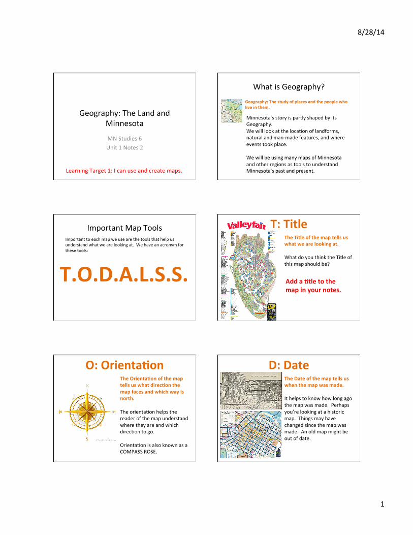
Geography: The Land and Minnesota
MN Studies 6 Unit 1 Notes 2
Learning Target 1: I can use and create maps.
Geography: The study of places and the people who live in them.
What is Geography?
Minnesota’s story is partly shaped by its Geography. We will look at the locaIon of landforms, natural and man-‐made features, and where events took place. We will be using many maps of Minnesota and other regions as tools to understand Minnesota’s past and present.
Important Map Tools Important to each map we use are the tools that help us understand what we are looking at. We have an acronym for these tools:
T.O.D.A.L.S.S.
T: Title The Title of the map tells us what we are looking at. What do you think the Title of this map should be?
Add a @tle to the map in your notes.
O: Orienta@on The Orienta@on of the map tells us what direc@on the map faces and which way is north. The orientaIon helps the reader of the map understand where they are and which direcIon to go. OrientaIon is also known as a COMPASS ROSE.
D: Date The Date of the map tells us when the map was made. It helps to know how long ago the map was made. Perhaps you’re looking at a historic map. Things may have changed since the map was made. An old map might be out of date.
8/28/14
2
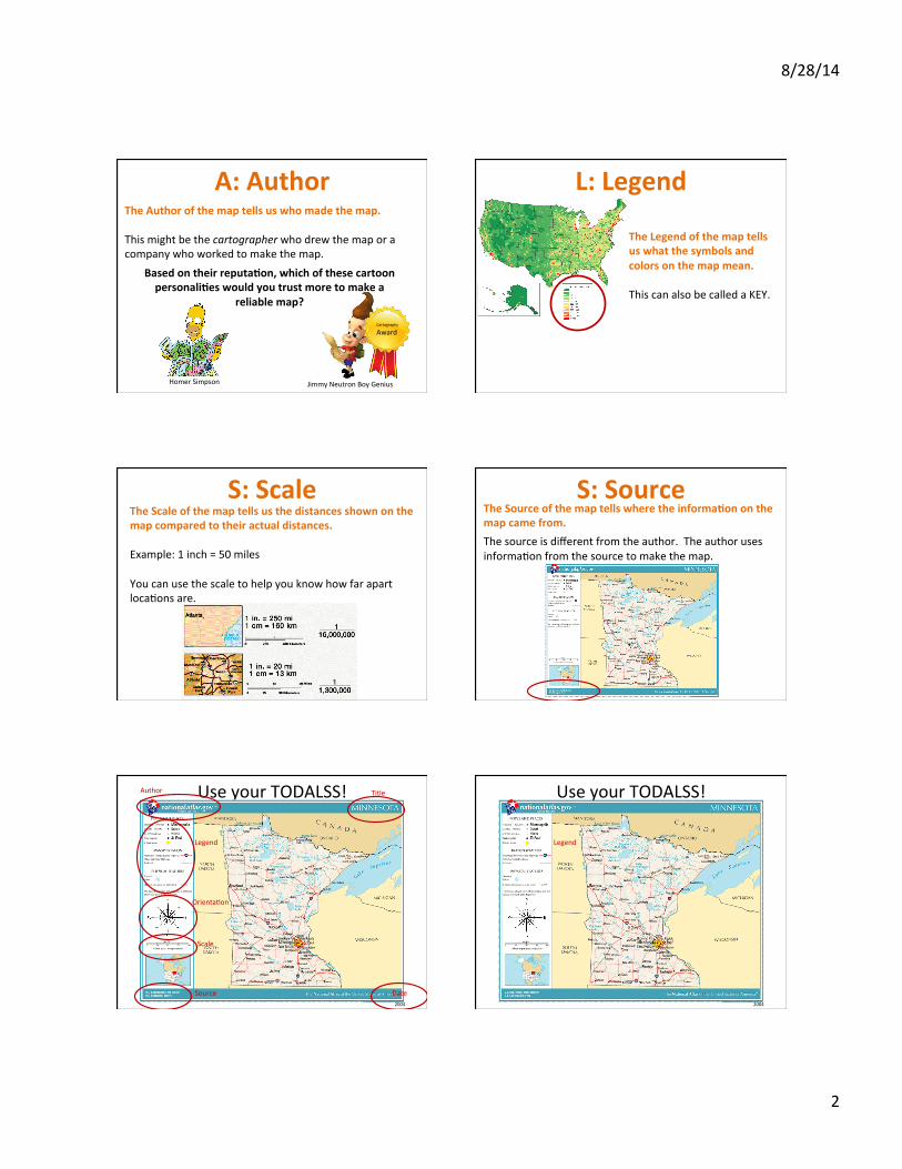
A: Author The Author of the map tells us who made the map. This might be the cartographer who drew the map or a company who worked to make the map.
Based on their reputa@on, which of these cartoon personali@es would you trust more to make a
reliable map?
Homer Simpson Jimmy Neutron Boy Genius
Cartography
Award
L: Legend
The Legend of the map tells us what the symbols and colors on the map mean. This can also be called a KEY.
S: Scale The Scale of the map tells us the distances shown on the map compared to their actual distances. Example: 1 inch = 50 miles You can use the scale to help you know how far apart locaIons are.
S: Source The Source of the map tells where the informa@on on the map came from.
The source is different from the author. The author uses informaIon from the source to make the map.
Use your TODALSS!
2004
Title
OrientaIon
Date
Author
Legend
Scale
Source
Use your TODALSS!
2004
Legend


