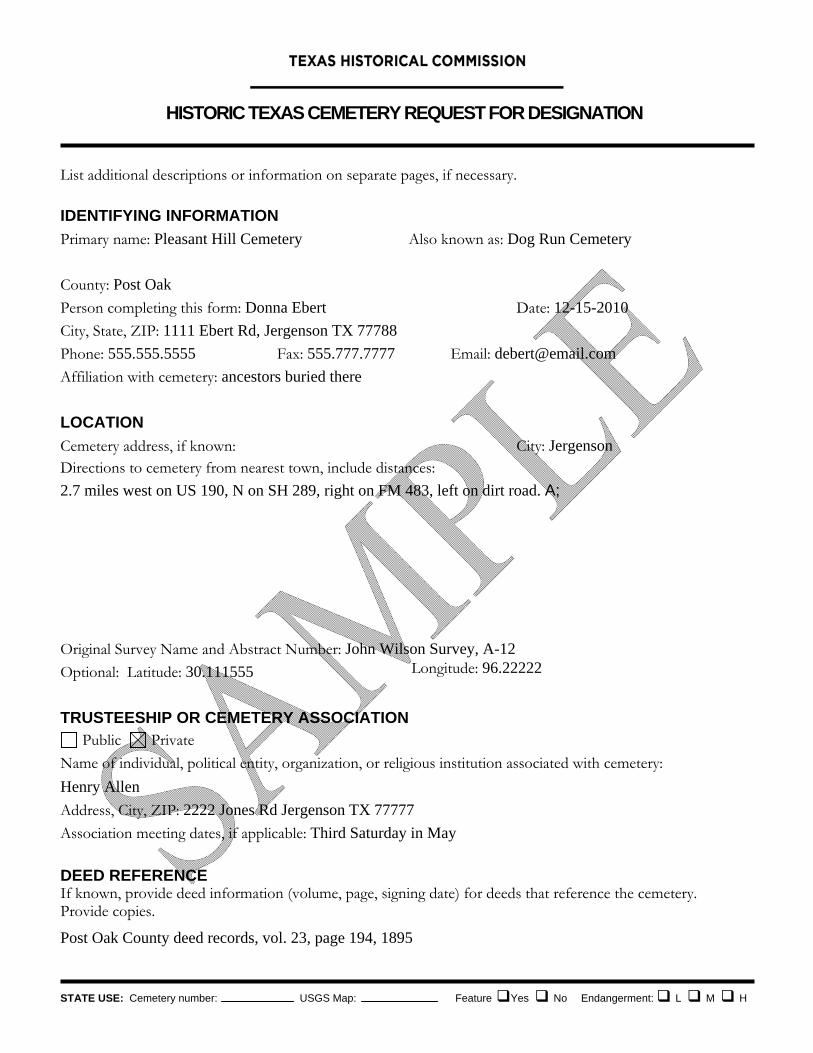
HISTORIC TEXAS CEMETERY REQUEST FOR DESIGNATION
STATE USE: Cemetery number: USGS Map: Feature Yes No Endangerment: L M H
List additional descriptions or information on separate pages, if necessary.
IDENTIFYING INFORMATION
Primary name: Pleasant Hill Cemetery Also known as: Dog Run Cemetery
County: Post Oak
Person completing this form: Donna Ebert Date: 12-15-2010
City, State, ZIP: 1111 Ebert Rd, Jergenson TX 77788
Phone: 555.555.5555 Fax: 555.777.7777 Email: [email protected]
Affiliation with cemetery: ancestors buried there
LOCATION
Cemetery address, if known: City: Jergenson Directions to cemetery from nearest town, include distances:
2.7 miles west on US 190, N on SH 289, right on FM 483, left on dirt road. A;
Original Survey Name and Abstract Number: John Wilson Survey, A-12
Optional: Latitude: 30.111555 Longitude: 96.22222
TRUSTEESHIP OR CEMETERY ASSOCIATION Public Private
Name of individual, political entity, organization, or religious institution associated with cemetery:
Henry Allen
Address, City, ZIP: 2222 Jones Rd Jergenson TX 77777
Association meeting dates, if applicable: Third Saturday in May
DEED REFERENCE If known, provide deed information (volume, page, signing date) for deeds that reference the cemetery. Provide copies.
Post Oak County deed records, vol. 23, page 194, 1895
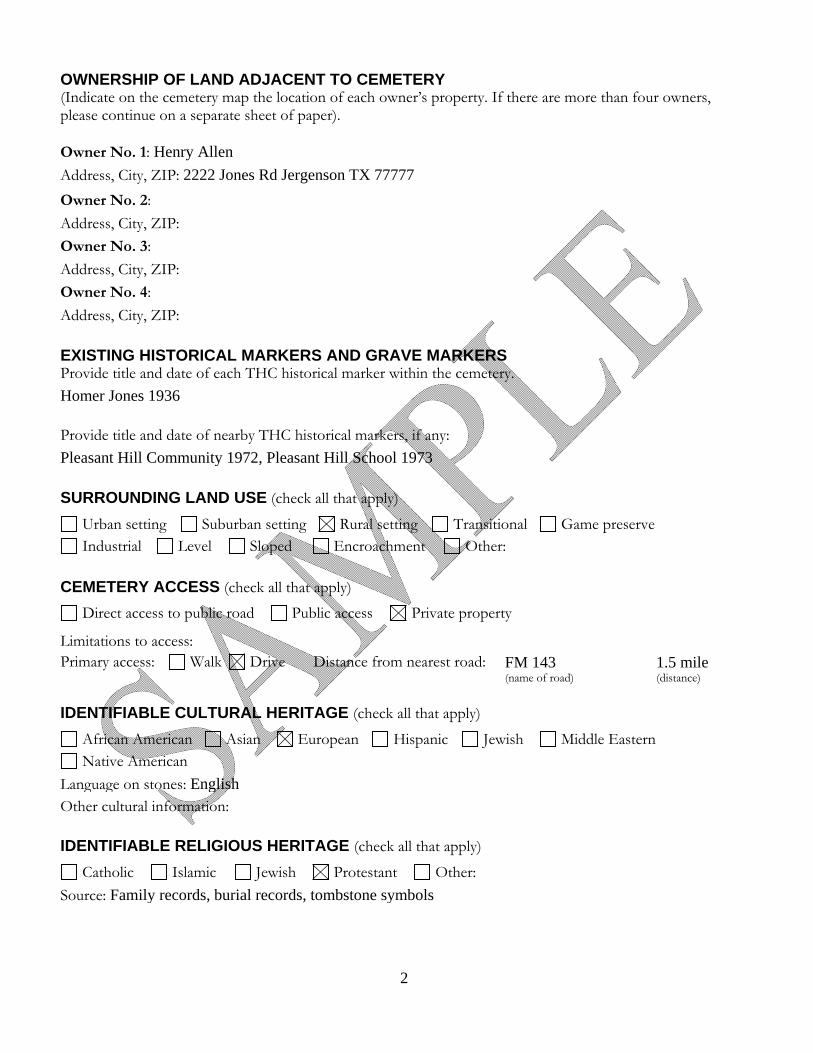
2
OWNERSHIP OF LAND ADJACENT TO CEMETERY (Indicate on the cemetery map the location of each owner’s property. If there are more than four owners, please continue on a separate sheet of paper).
Owner No. 1: Henry Allen
Address, City, ZIP: 2222 Jones Rd Jergenson TX 77777
Owner No. 2:
Address, City, ZIP:
Owner No. 3:
Address, City, ZIP:
Owner No. 4:
Address, City, ZIP:
EXISTING HISTORICAL MARKERS AND GRAVE MARKERS Provide title and date of each THC historical marker within the cemetery.
Homer Jones 1936 Provide title and date of nearby THC historical markers, if any:
Pleasant Hill Community 1972, Pleasant Hill School 1973
SURROUNDING LAND USE (check all that apply)
Urban setting Suburban setting Rural setting Transitional Game preserve Industrial Level Sloped Encroachment Other:
CEMETERY ACCESS (check all that apply)
Direct access to public road Public access Private property
Limitations to access: Primary access: Walk Drive Distance from nearest road: FM 143
(name of road) 1.5 mile (distance)
IDENTIFIABLE CULTURAL HERITAGE (check all that apply)
African American Asian European Hispanic Jewish Middle Eastern Native American
Language on stones: English Other cultural information:
IDENTIFIABLE RELIGIOUS HERITAGE (check all that apply)
Catholic Islamic Jewish Protestant Other:
Source: Family records, burial records, tombstone symbols
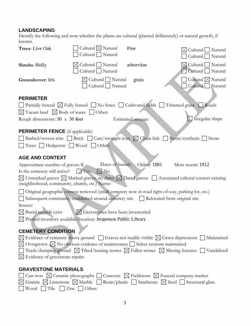
3
LANDSCAPING Identify the following and note whether the plants are cultural (planted deliberately) or natural growth, if known.
Trees: Live Oak
Cultural Natural Cultural Natural
Pine
Cultural Natural Cultural Natural
Shrubs: Holly
Cultural Natural Cultural Natural
arborvitae Cultural Natural Cultural Natural
Groundcover: Iris
Cultural Natural Cultural Natural
grass Cultural Natural Cultural Natural
PERIMETER Partially fenced Fully fenced No fence Cultivated fields Trimmed grass Roads
Vacant land Body of water Other:Rough dimensions: 30 x 30 feet Estimated acreage: Irregular shape
PERIMETER FENCE (if applicable) Barbed/woven wire Brick Cast/wrought iron Chain link Resin/synthetic Stone
Trees Hedgerow Wood Other:
AGE AND CONTEXT
Approximate number of graves: 6 Dates of burials: Oldest: 1881 Most recent: 1912Is the cemetery still active? Yes No
Unmarked graves Marked graves, no dates Dated graves Associated cultural context existing (neighborhood, community, church, etc.) Name:
Original geographic context removed (small cemetery now in road right-of-way, parking lot, etc.) Subsequent community established around cemetery site Relocated from original site
Source: Burial records exist Gravestones have been inventoried
Printed inventory available/location: Jergenson Public Library
CEMETERY CONDITION Evidence of cemetery above ground Graves not readily visible Grave depressions Maintained Overgrown No obvious evidence of maintenance Select sections maintained Trash/dumping ground Tilted/leaning stones Fallen stones Missing features Vandalized Evidence of gravestone repairs
GRAVESTONE MATERIALS Cast iron Ceramic photographs Concrete Fieldstone Funeral company marker Granite Limestone Marble Resin/plastic Sandstone Steel Structural glass Wood Tile Zinc Other:

4
CEMETERY FEATURE OVERVIEW Cemetery sign: Yes No Location? at the cemetery on the road on gate on fence on post Text: Entry gate: Yes No Gate or arch manufacturer: Fenced plots: Family; number: Individual graves; number: Interior fence materials: Barbed wire Brick Cast/wrought iron Chain link
Combination Woven wire Stone Wood Other: Curbing: Cut stone Concrete Brick Other: Grave decoration: Shells Gravel Scraped earth Floral Other: Interior roads: Dirt Brick Gravel Paved Cobblestone Grass
Other: Walkways and paths: Dirt Brick Gravel Paved Stone Grass
Other: Terracing/retaining walls: Yes No Segregated burials: Family Race Religion Fraternal order Nationality Pauper
Babies Institutional Other: Cemetery features: Benches Flagpole Folk decorations Fountains Grave houses
Grave shrines Grave slabs Handcrafted/local castings Cairns Mausoleums/vaults Obelisks Original statuary Outhouse Tabernacle Structures Unique stone carving Urns Well Other:
Signed statuary; name: Signed gravestones; name: M.J. Taylor
VETERANS GRAVESTONES American Revolution War of 1812 Texas Revolution Mexican War Civil War Indian Wars Spanish American War World War I World War II Korean War Vietnam War Gulf War Afghanistan Iraq Other:
5 12/2010
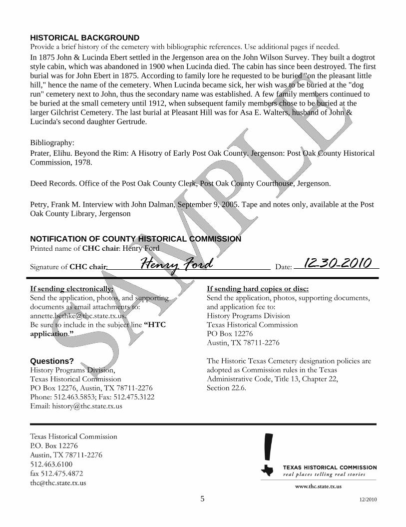
HISTORICAL BACKGROUND Provide a brief history of the cemetery with bibliographic references. Use additional pages if needed. In 1875 John & Lucinda Ebert settled in the Jergenson area on the John Wilson Survey. They built a dogtrot style cabin, which was abandoned in 1900 when Lucinda died. The cabin has since been destroyed. The first burial was for John Ebert in 1875. According to family lore he requested to be buried "on the pleasant little hill," hence the name of the cemetery. When Lucinda became sick, her wish was to be buried at the "dog run" cemetery next to John, thus the secondary name was established. A few family members continued to be buried at the small cemetery until 1912, when subsequent family members chose to be buried at the larger Gilchrist Cemetery. The last burial at Pleasant Hill was for Asa E. Walters, husband of John & Lucinda's second daughter Gertrude. Bibliography: Prater, Elihu. Beyond the Rim: A Hisotry of Early Post Oak County. Jergenson: Post Oak County Historical Commission, 1978. Deed Records. Office of the Post Oak County Clerk, Post Oak County Courthouse, Jergenson. Petry, Frank M. Interview with John Dalman, September 9, 2005. Tape and notes only, available at the Post Oak County Library, Jergenson
NOTIFICATION OF COUNTY HISTORICAL COMMISSION Printed name of CHC chair: Henry Ford
Signature of CHC chair: Date:
If sending electronically: Send the application, photos, and supporting documents as email attachments to: [email protected]. Be sure to include in the subject line “HTC application.”
If sending hard copies or disc: Send the application, photos, supporting documents, and application fee to: History Programs Division Texas Historical Commission PO Box 12276 Austin, TX 78711-2276
Questions? History Programs Division, Texas Historical Commission PO Box 12276, Austin, TX 78711-2276 Phone: 512.463.5853; Fax: 512.475.3122 Email: [email protected]
The Historic Texas Cemetery designation policies are adopted as Commission rules in the Texas Administrative Code, Title 13, Chapter 22, Section 22.6.
Henry Ford 12-30-2010


