csamt control source audio-frequency-magentotellurics · csamt control source...
TRANSCRIPT
CSAMTControl source audio-frequency-magentotellurics
·
·
·
·
··
CSAMT (controlled source audio-frequency magnetotellurics) is a ground active electromagnetic geophysical method used for subsurface resistivity mapping.
The CSAMT method has proven useful for mapping the earth's crust in the 20 to 2,000 m depth range. Vertical resolution is generally 5 to 20% of the depth.
The CSAMT method involves transmitting a controlled primary electromagnetic field at a range of frequencies into the ground from one location (transmitter site) and measuring the received secondary electric and magnetic field in the area of interest (receiver site-station).
The ratio of orthogonal, horizontal electric and magnetic field magnitudes are used to calculate the resistivity structure of the earth.
Calculated resistivity values from CSAMT data relate to geology.
Primary factors affecting rock/sediment resistivity include: rock or sediment porosity, presence and grade of pore fluids
Applications
Ground water and hydrothermal exploration (geologic structure and lithology, water table trends, water mineralization and salinity and contamination)
Mineral exploration ( geologic structure and lithology, presence of ore conductors, impregnation and alteration zones)
Oil and Gas Exploration (geologic structure, stratigraphy and lithology, depth to basement, basement geology mapping)
Civil Engineering, Geotechnical and Environmental Applications (geologic structure, stratigraphy and lithology)
i
KORAL, s.r.o., Sladkovicova 5, SK-052 01, Spisska Nova Ves, SlovakiaTel: +421-(0)-53-4411834 E-mail: www.KORAL.sk· ·[email protected]
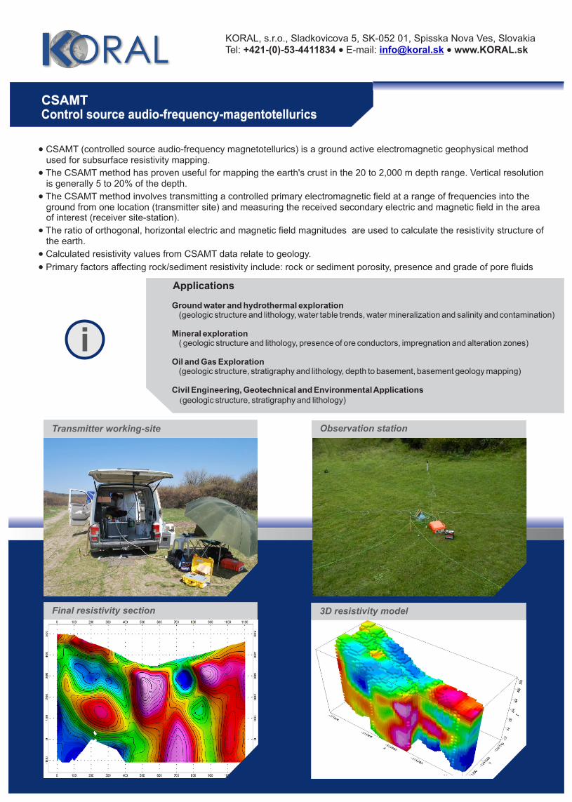
Transmitter working-site
Final resistivity section 3D resistivity model
Observation station